About this sheet
Map of Samoa or Schiffer-Inseln (Navigator Islands) - 19th Century German Map
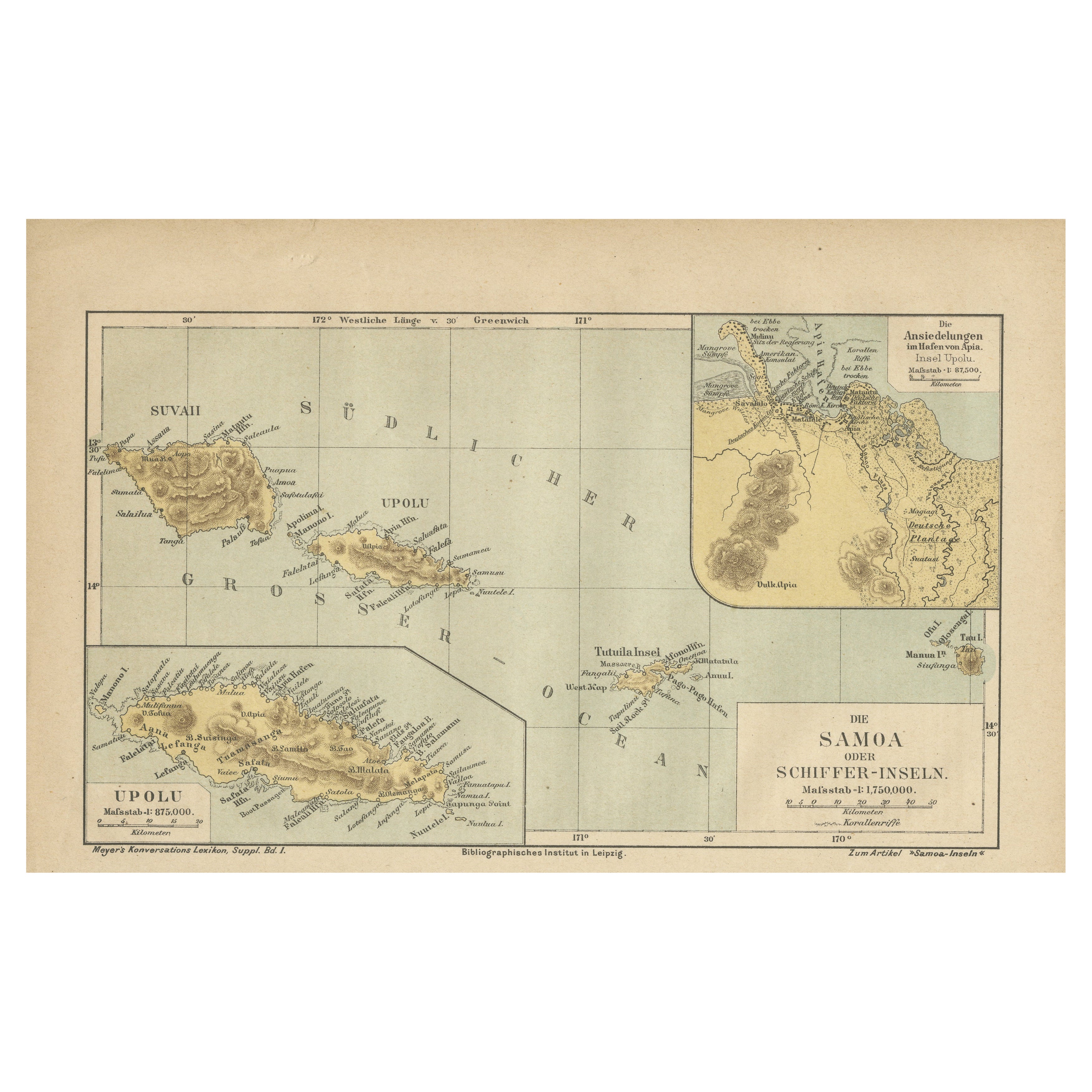
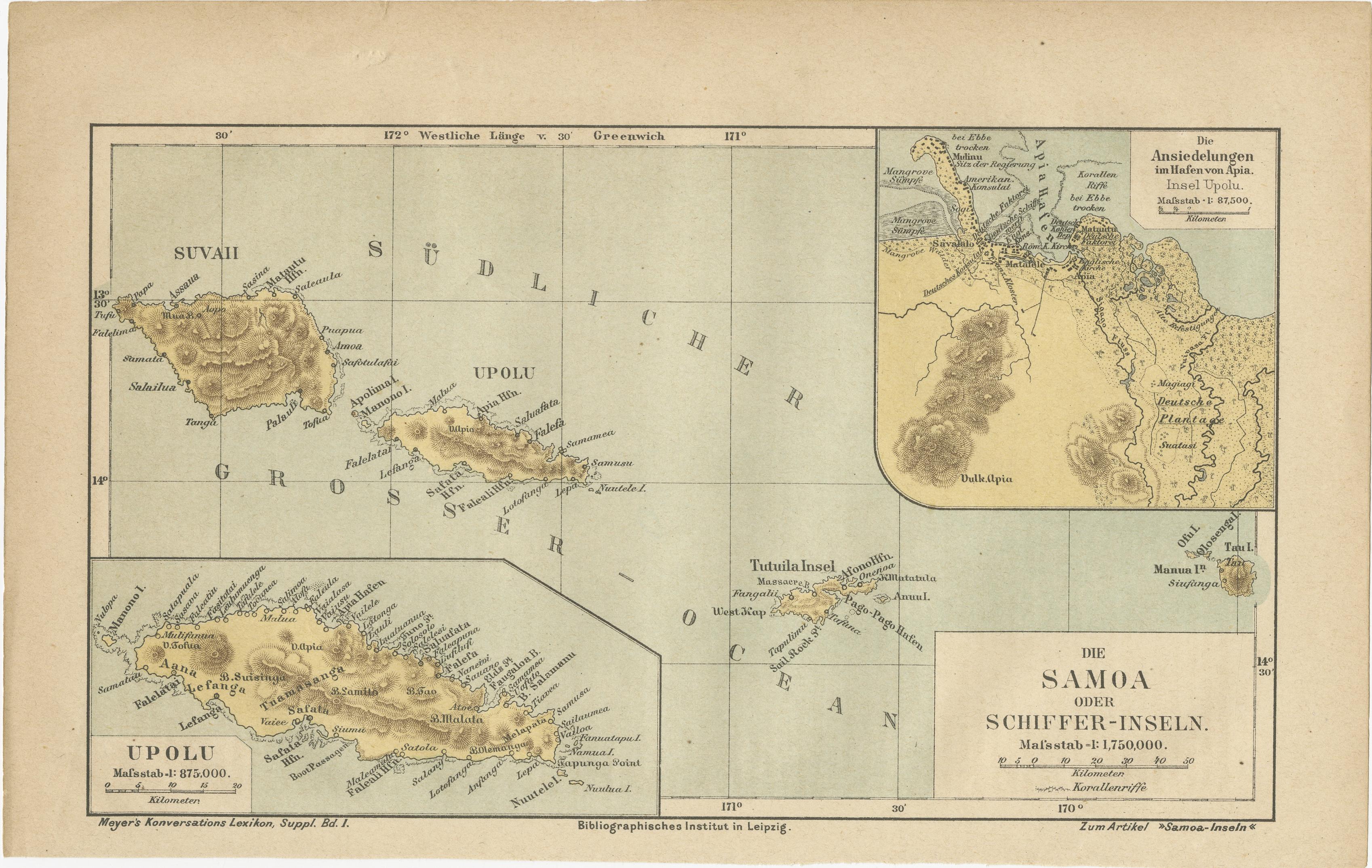
This detailed 19th-century map of the Samoa Islands, also known as the Navigator Islands (Schiffer-Inseln), was published by the Bibliographisches Institut in Leipzig as part of Meyer's Konversations-Lexikon, a widely used German encyclopedic series. The map is printed in color lithography and provides a comprehensive overview of the Samoan archipelago, including Upolu, Savai'i, Tutuila, and other smaller islands.
The main map highlights the two largest islands, Savai'i and Upolu, situated in the South Pacific Ocean. Both islands are meticulously drawn with topographical details, including mountains, rivers, and the names of villages and settlements. The rugged terrain of Savai'i and Upolu is indicated through shaded relief, illustrating the mountainous nature of the islands. The German place names reflect the influence of German colonization, as Samoa became a German protectorate in 1900 and remained under German control until World War I.
In the lower section of the map, there is a detailed inset of Upolu at a larger scale (1:375,000), providing more precision in identifying important locations. Another inset in the upper right corner depicts the settlements around the harbor of Apia, the capital city of Samoa and a significant port. The harbor map, at a scale of 1:87,500, shows various landmarks and coastal features, including plantations and European settlements. The legend specifies plantations, buildings, and terrain types, emphasizing Apia's strategic and economic importance.
The map clearly indicates the coordinates (latitude and longitude), helping to locate the islands accurately. The typography and precise cartographic style are typical of German mapmaking from the period, combining accuracy with aesthetic appeal. The map also features a distance scale in kilometers and the indication of coral reefs, highlighting the natural barriers to navigation around the islands.
Historical Context:
During the 19th century, Samoa became a focal point of European colonial ambitions. Germany, the United States, and Great Britain all vied for control of the islands, leading to treaties and international agreements that eventually placed the western islands under German rule. This map reflects that period of German influence and showcases the strategic importance of the islands for shipping and trade.
Condition:
The map is in good condition with vibrant coloring and minimal signs of age. The paper is stable and well-preserved, with crisp printing and sharp detailing. Light toning around the edges is consistent with the map's age.
Framing tips: To preserve this historical piece, it is recommended to frame it using archival materials and a simple wooden frame that enhances the map’s elegance and historical value.