Maps & PrintsBartele Gallery · Langweer
Home / Antique Maps / Europe / Western Europe / Germany

Germany

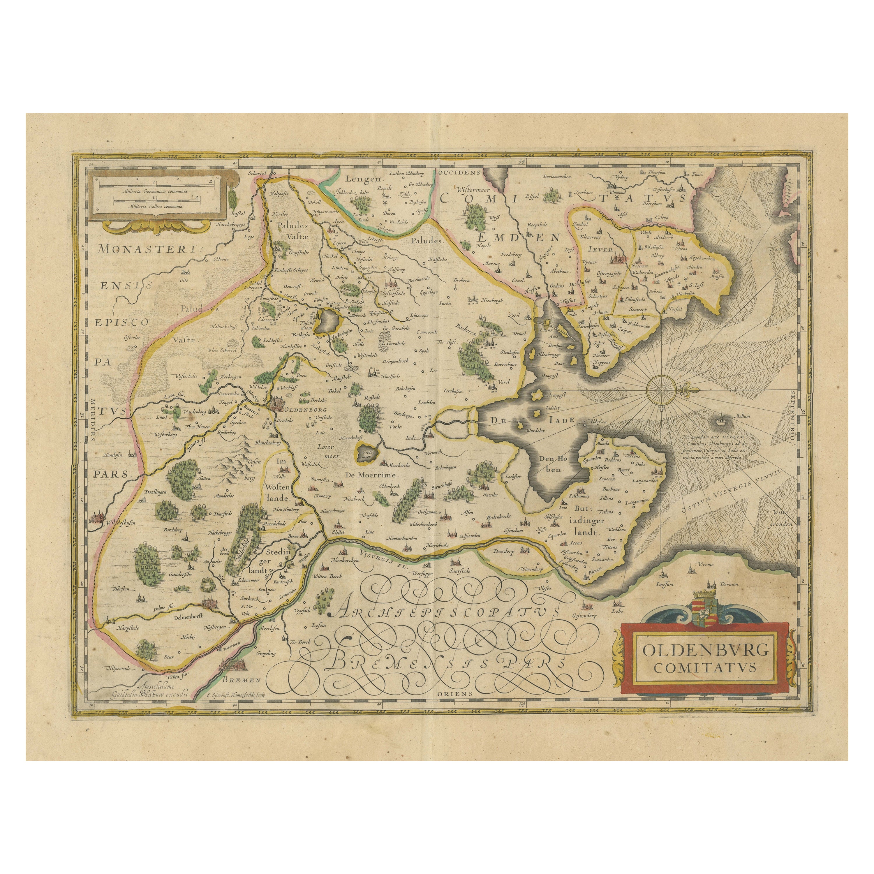

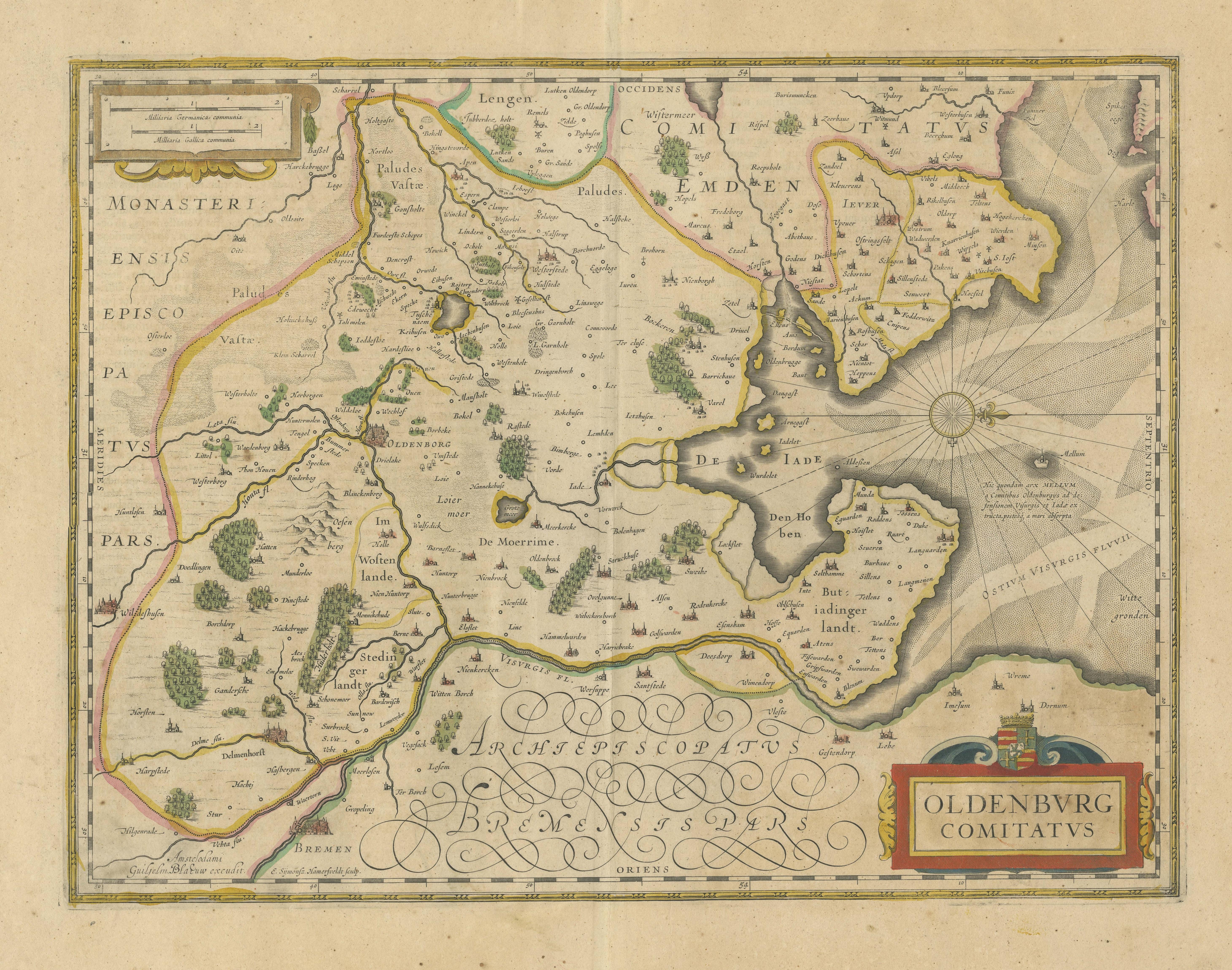
Antique Map of the Region of Oldenburg, Germany

€ 440

One of a kind: this is the sheet in the photographs. Ships from Langweer, the Netherlands.

Mapmaker / artist
Willem Blaeu
Sheet size
51.3 × 60.6 cm (20.2 × 23.9 in)
Condition
Fair
Reference
BG-13364-1

Condition

Wear consistent with age and use. Age-related toning. Original folding line. Shows wear and soiling. Latin text on verso. Please study image carefully.


About this sheet

Antique map titled 'Oldenburg Comitatus'. Detailed old map of Oldenburg, Germany. The map also shows Bremen and the Jade Bight. Published by W. Blaeu, circa 1640. Willem Jansz. Blaeu and his son Joan Blaeu are the most widely known cartographic publishers of the seventeenth century.

Willem Janszoon Blaeu (1571-1638) was a prominent Dutch geographer and publisher. Born the son of a herring merchant, Blaeu chose not fish but mathematics and astronomy for his focus. He studied with the famous Danish astronomer Tycho Brahe, with whom he honed his instrument and globe making skills. Blaeu set up shop in Amsterdam, where he sold instruments and globes, published maps, and edited the works of intellectuals like Descartes and Hugo Grotius. In 1635, he released his atlas, Theatrum Orbis Terrarum, sive, Atlas novus.

More from Germany

Ask about this sheet

Antique Map of the Region of Oldenburg, Germany
Ref. BG-13364-1 · € 440
We reply by email, usually within one working day.





