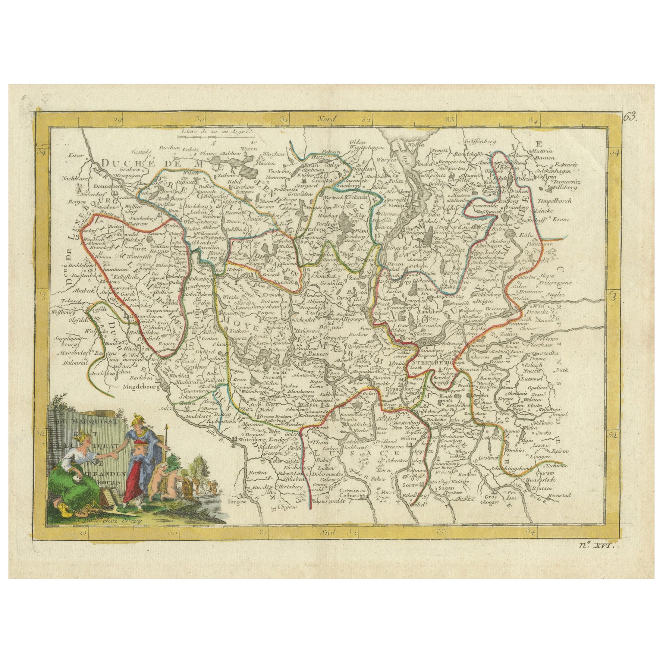
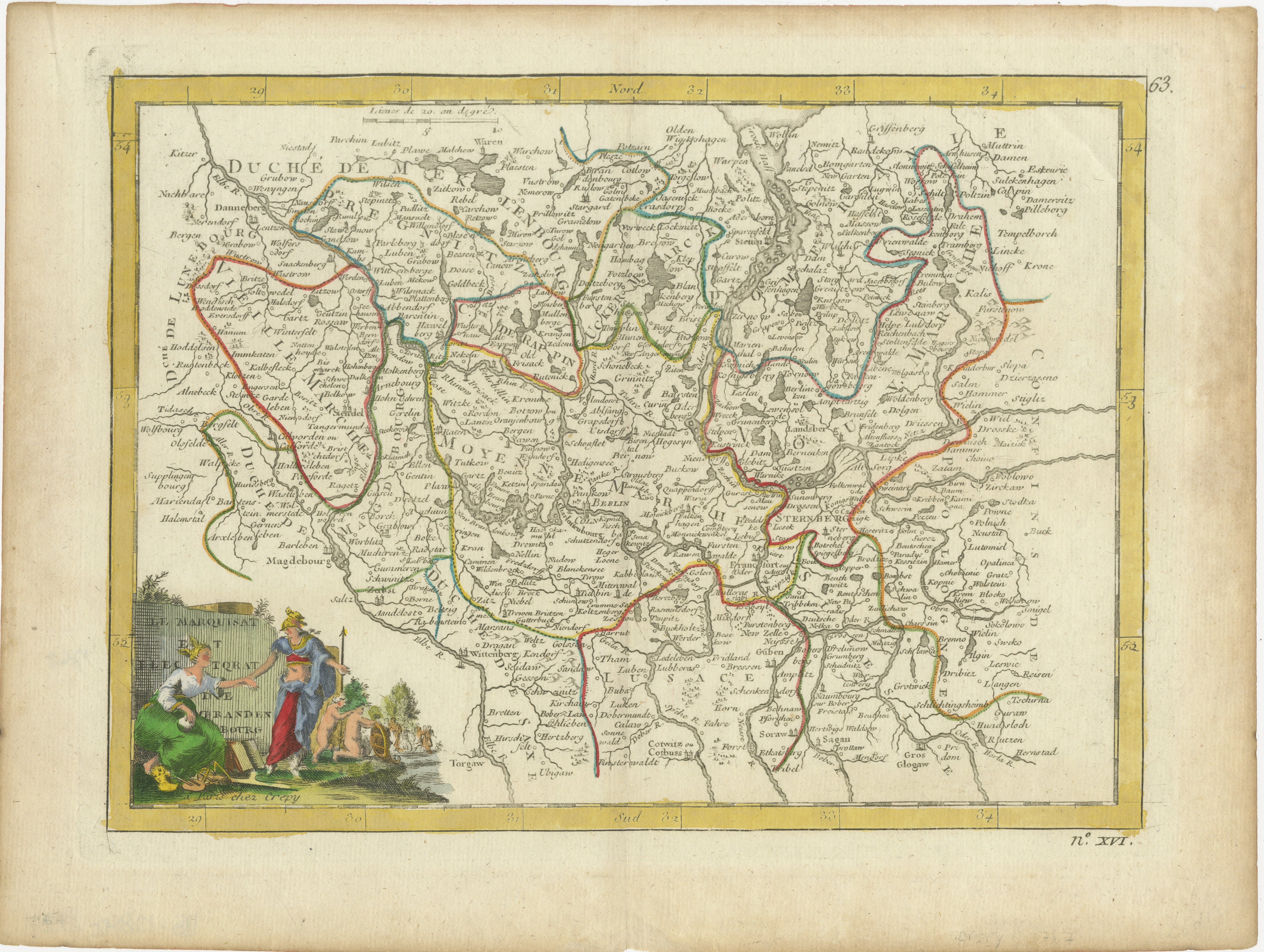
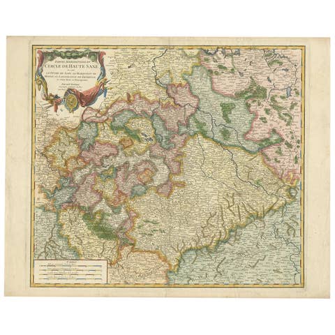
Antique Map of the Electorate of Brandenburg by Georges-Louis Le Rouge, 1768
€ 270
One of a kind: this is the sheet in the photographs. Ships from Langweer, the Netherlands.
Date
1768
Sheet size
24.7 × 32.5 cm (9.7 × 12.8 in)
Condition
Good
Reference
BG-13842-12
Condition
Good condition with general age-related toning and minor soiling. Original hand coloring is well preserved, and the paper has a pleasing patina, showing only slight foxing along the edges, not affecting the map. Two small remains of tape on reverse.
About this sheet
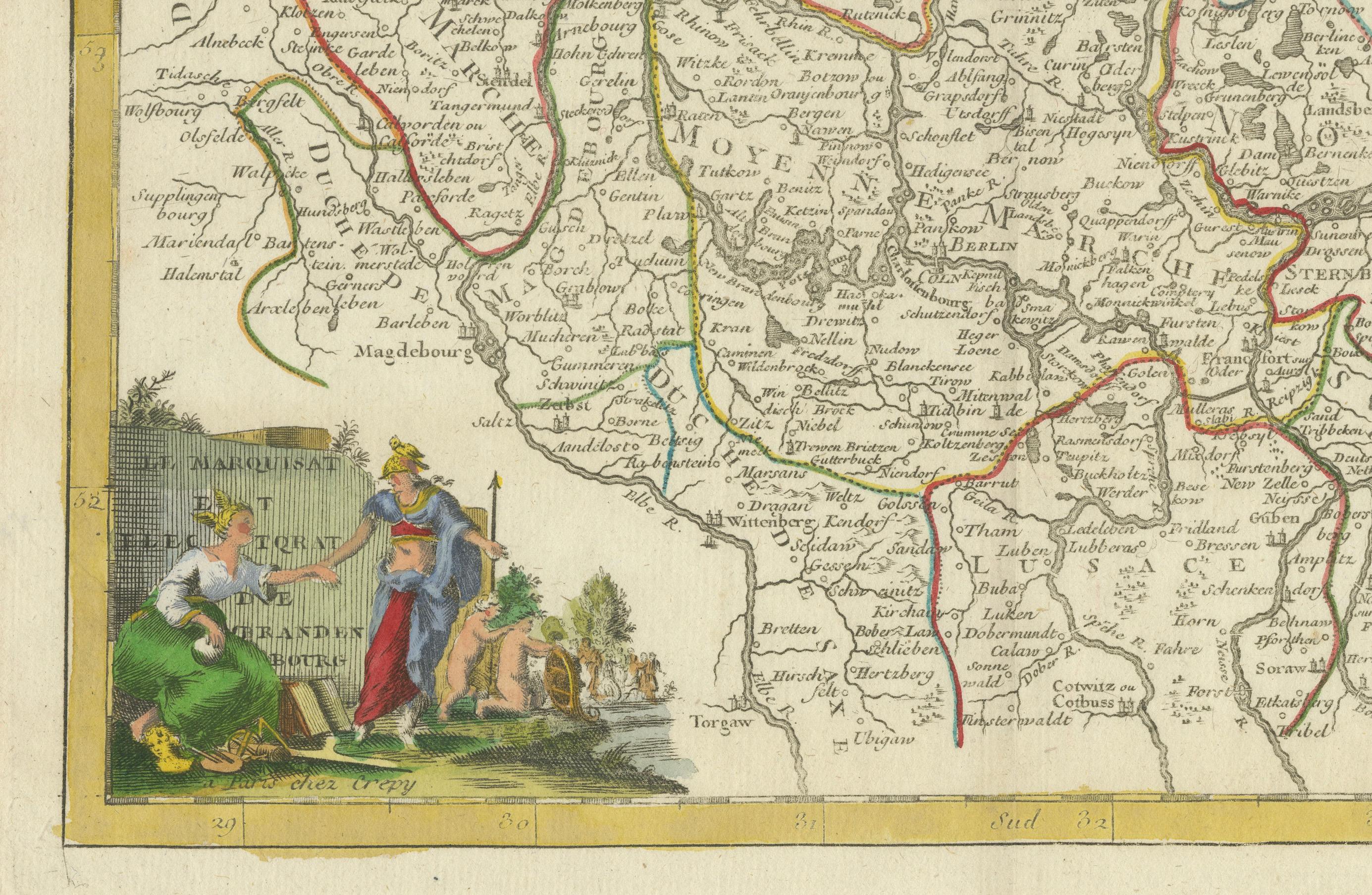
Antique Map of the Electorate of Brandenburg by Georges-Louis Le Rouge, 1748
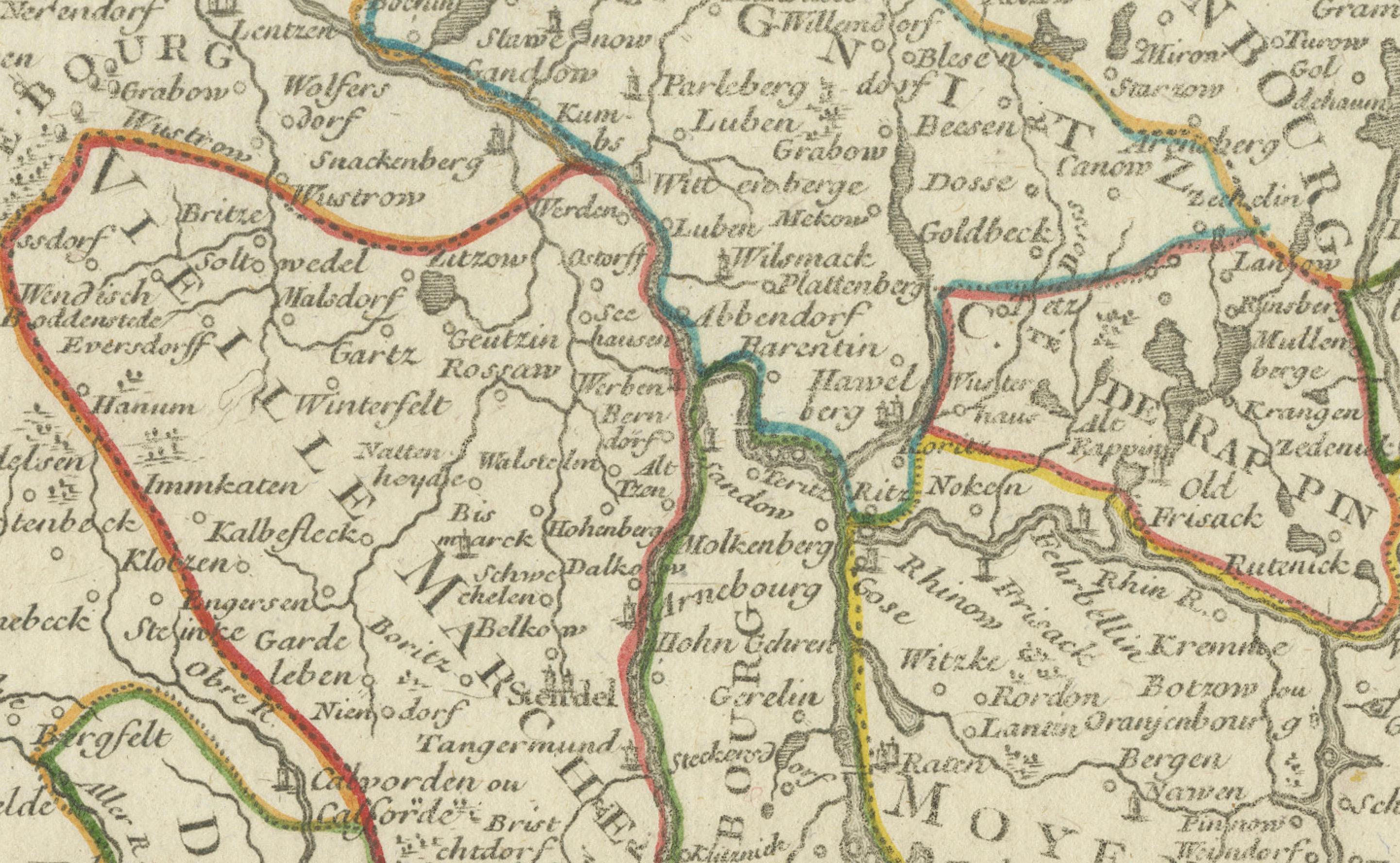
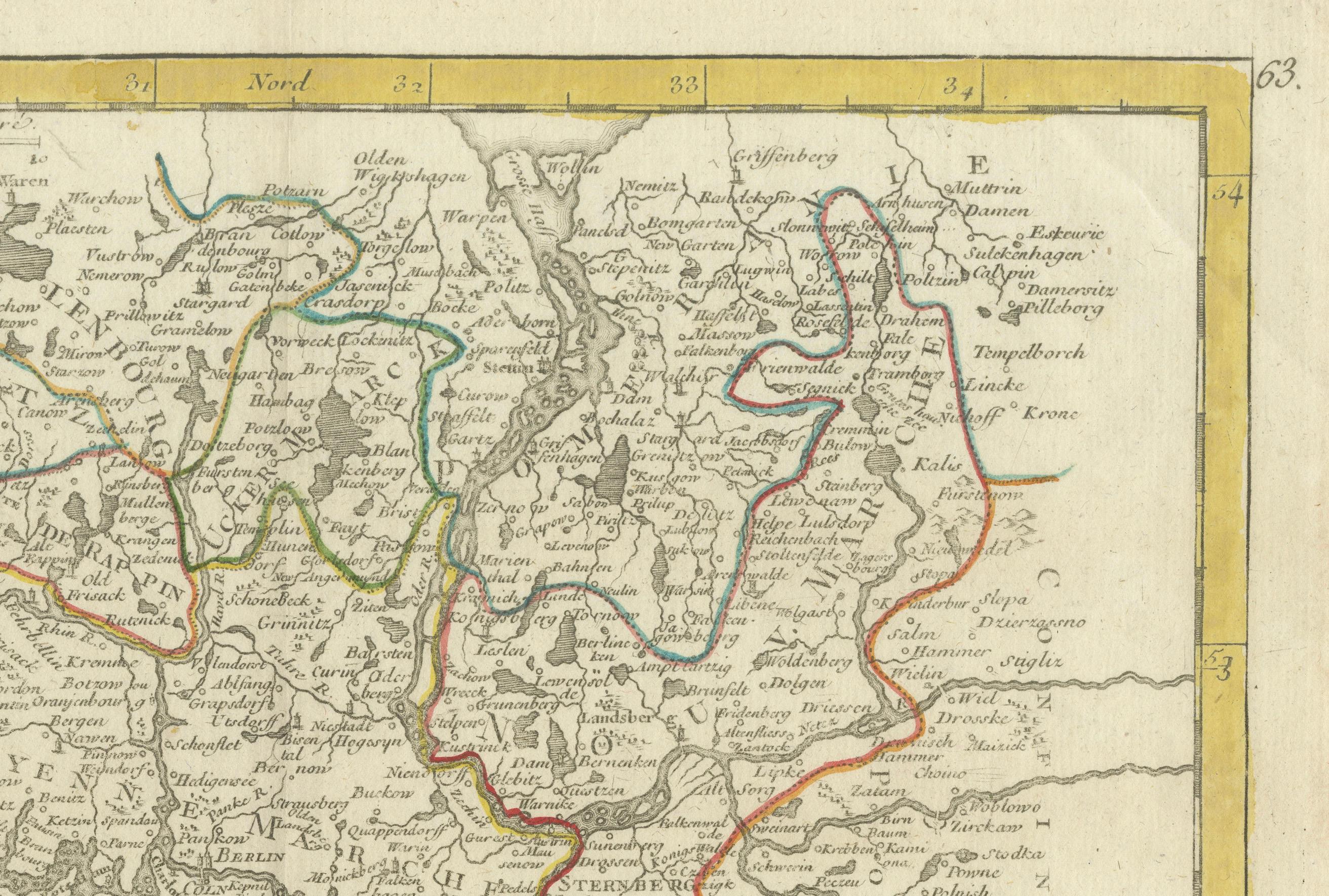
This 1748 map by Georges-Louis Le Rouge, titled "Le Marquisat et Electorat de Brandenbourg," depicts the territories of the Electorate of Brandenburg, focusing on northeastern Germany. Berlin is centrally featured, and the map illustrates the modern-day areas of Brandenburg, Mecklenburg-Vorpommern, and Saxony-Anhalt, extending into parts of the Polish border region. The map is beautifully adorned with original hand coloring, which highlights the historical territorial boundaries, making it an insightful artifact for understanding the geographical and political landscape of 18th-century Prussia.
Le Rouge, a notable French cartographer, was known for his detailed and artistically presented maps. This particular work not only provides geographical information but also carries an artistic representation of the region through its elegantly drawn cartouche featuring figures symbolizing prosperity and cultural significance.
The original hand-coloring and intricate details make this map an exquisite collectible, offering a glimpse into the political influence of Brandenburg, which would eventually play a key role in the formation of the German Empire. This map would appeal to collectors interested in European political history, cartographic artistry, and Prussian heritage.