About this sheet
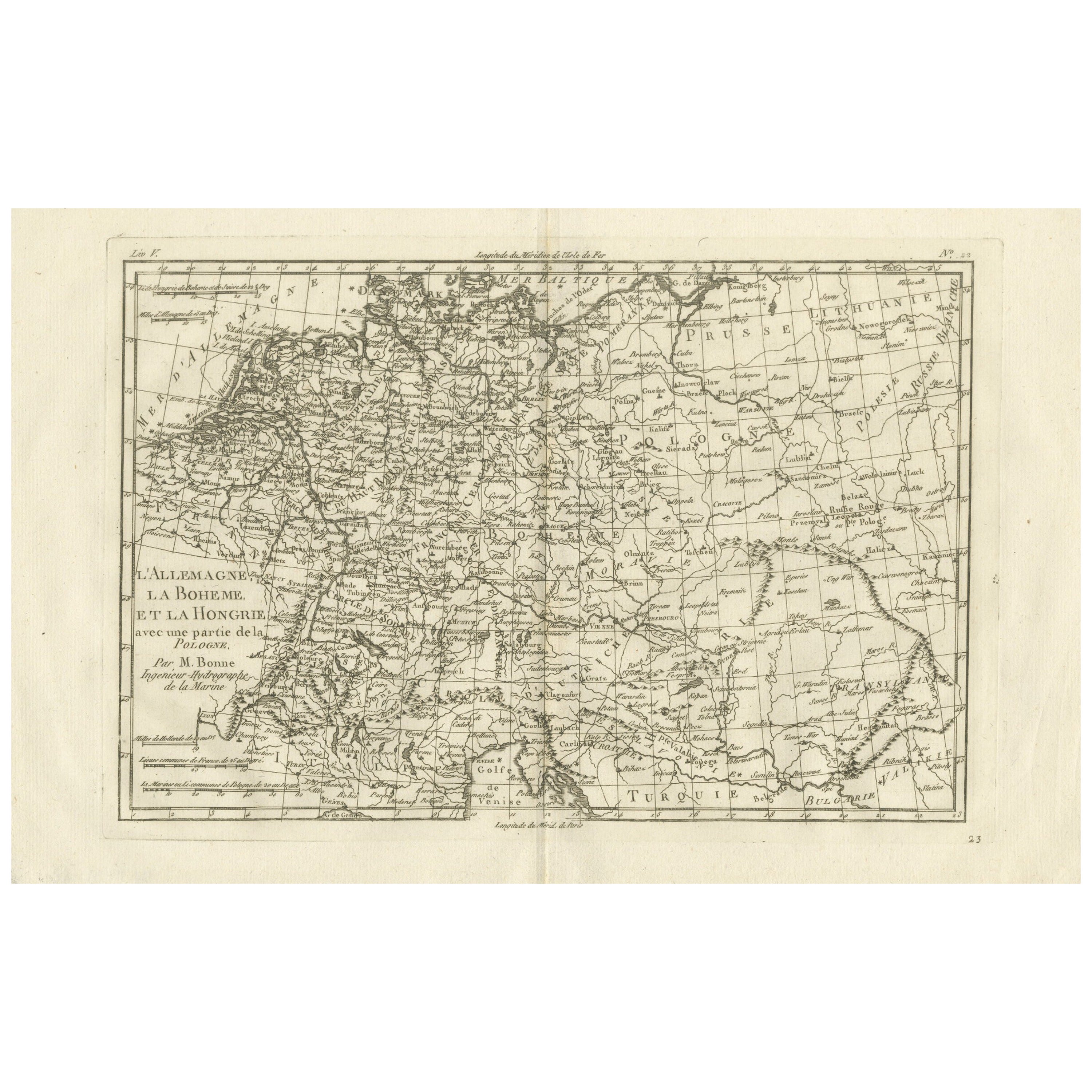
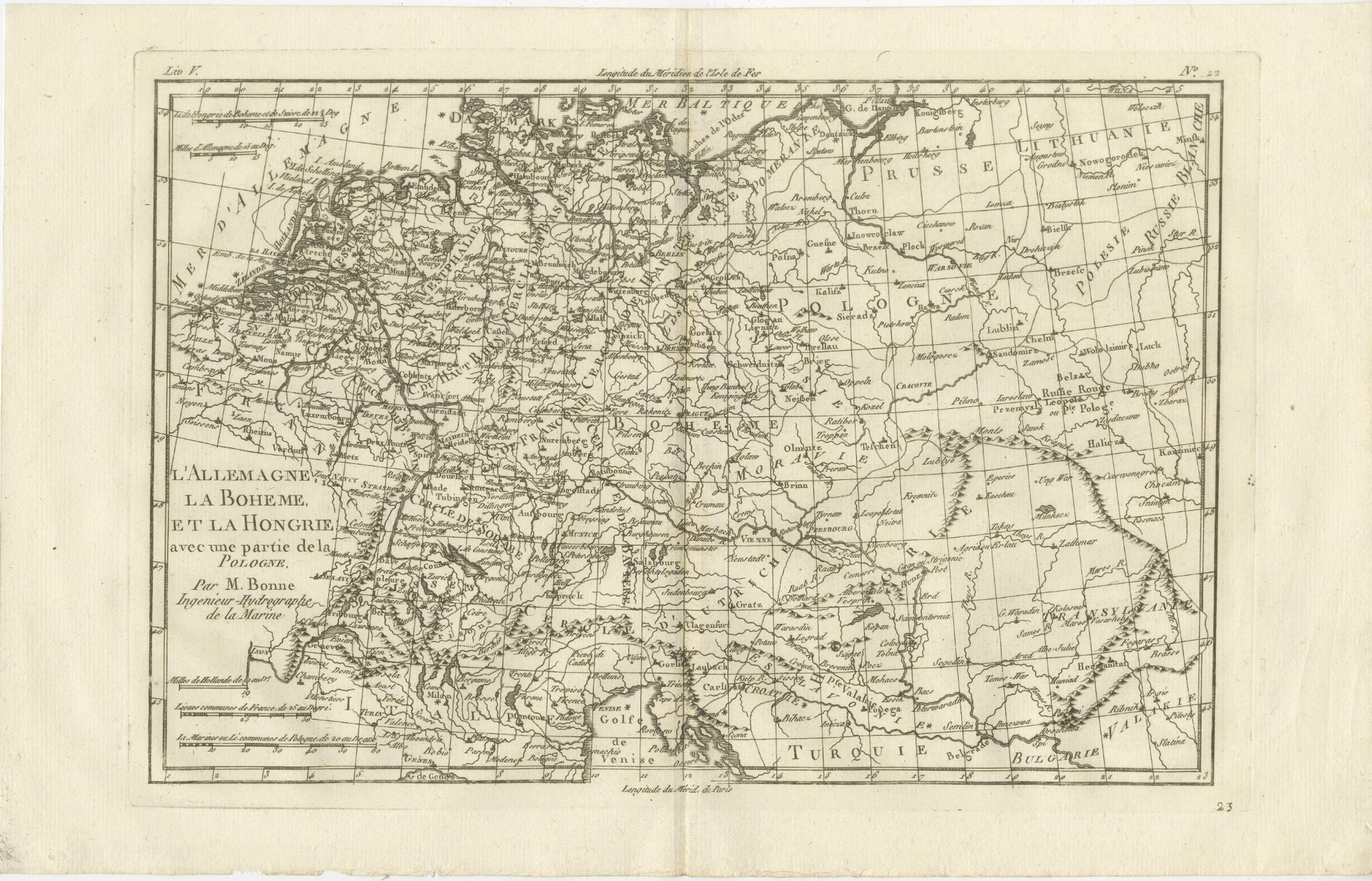
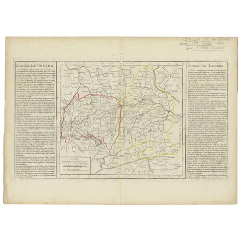
Germany, Bohemia & Hungary – Enlightenment Map by Rigobert Bonne, c.1780
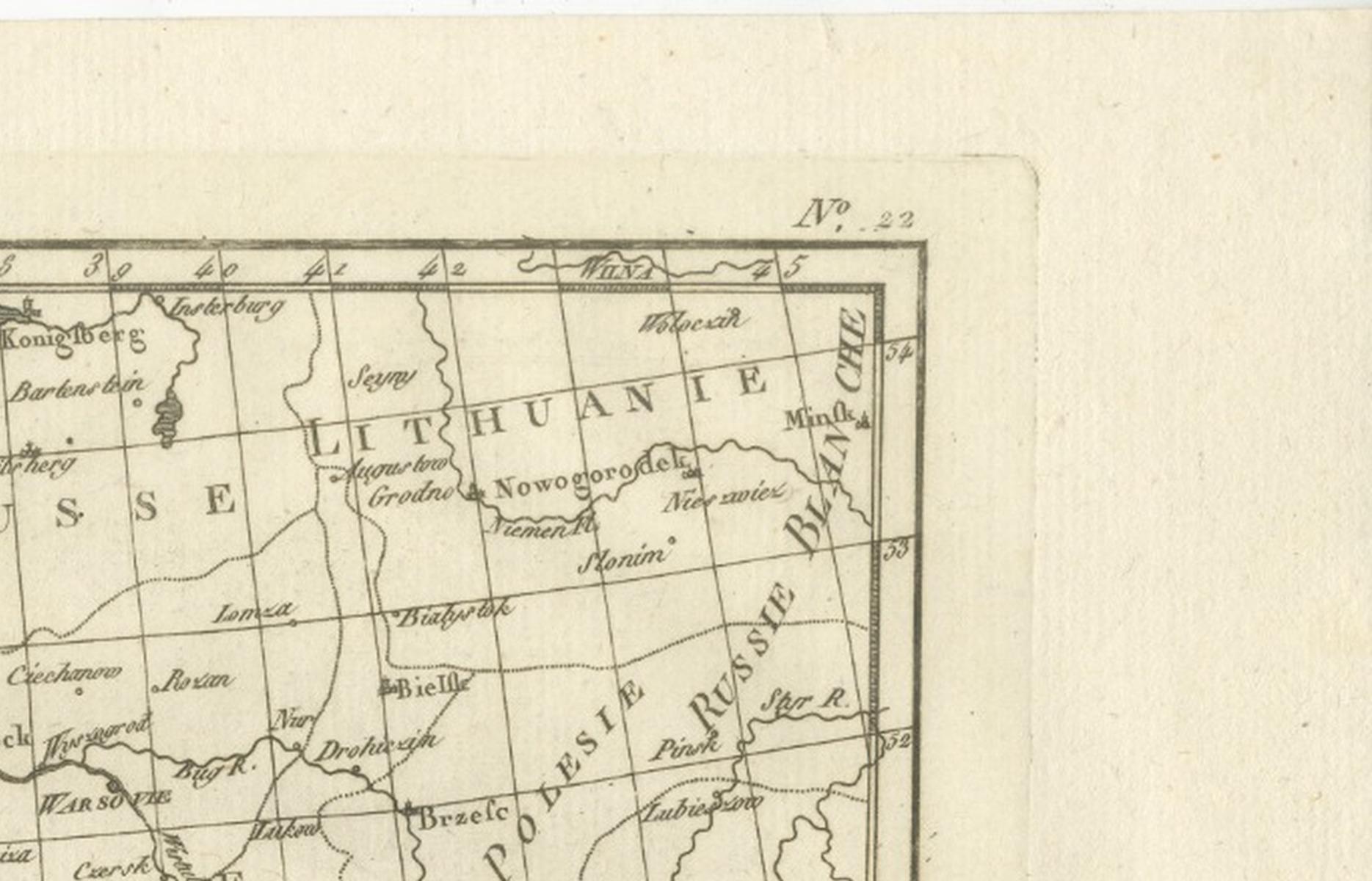
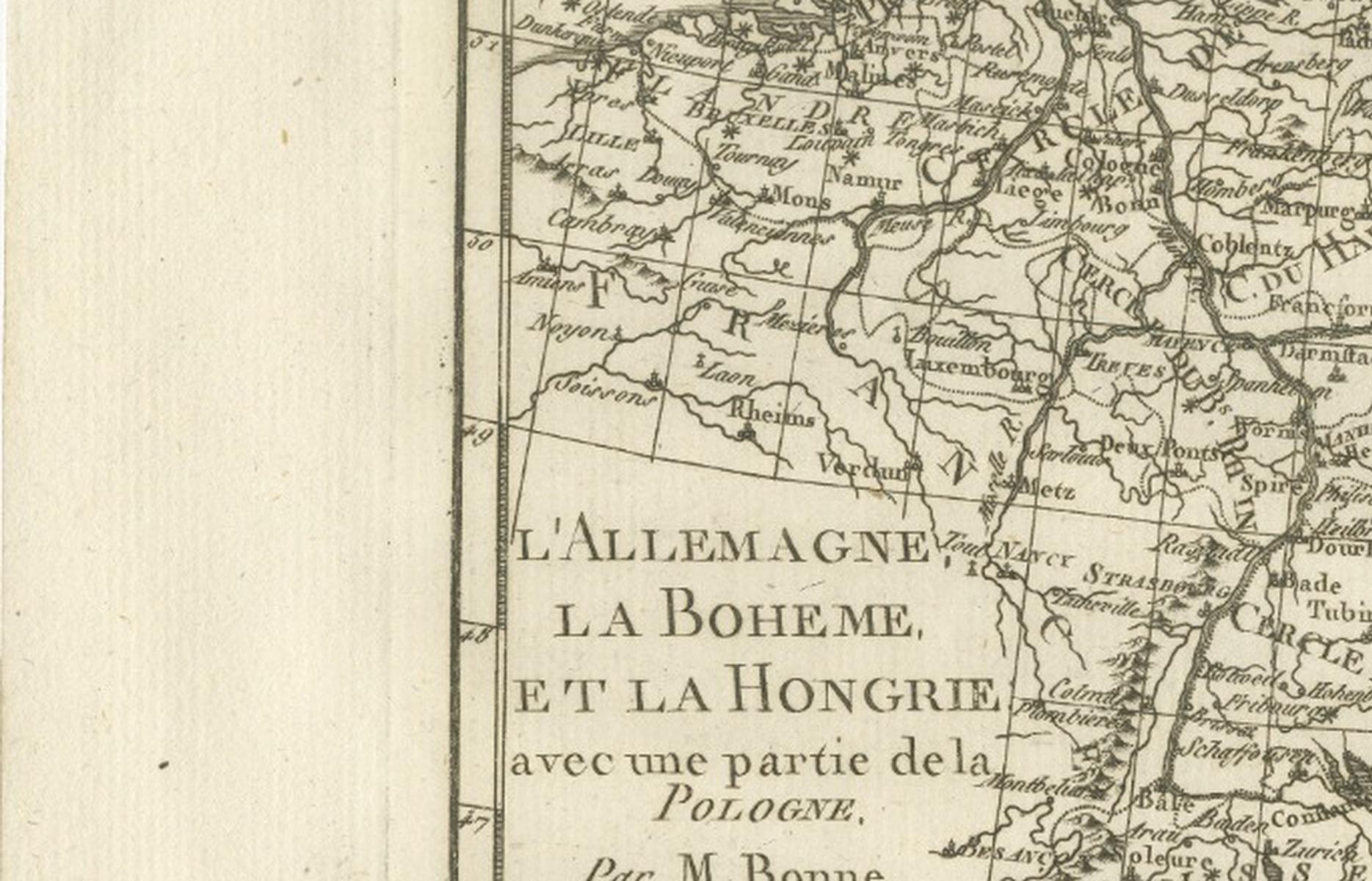
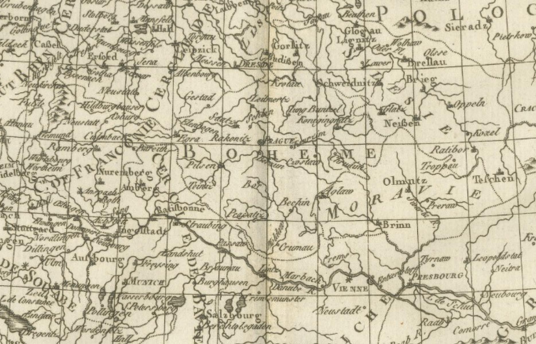
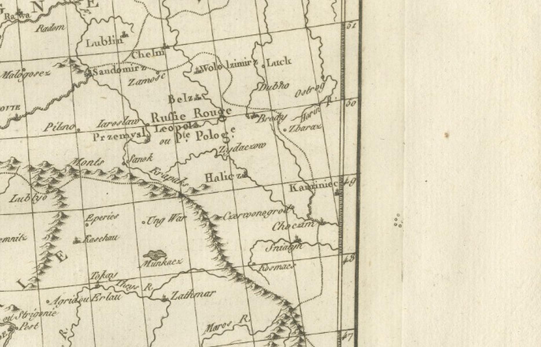
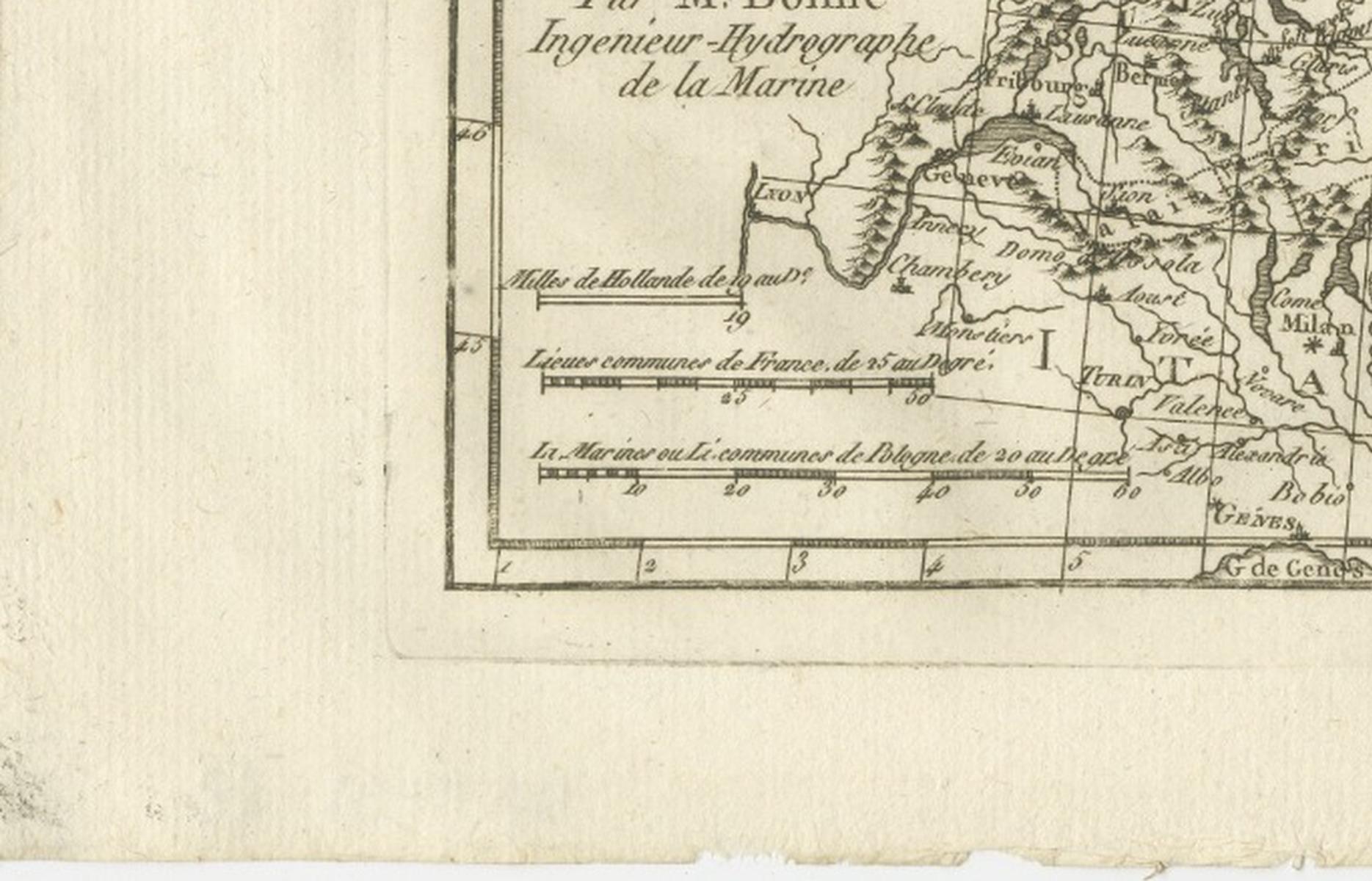
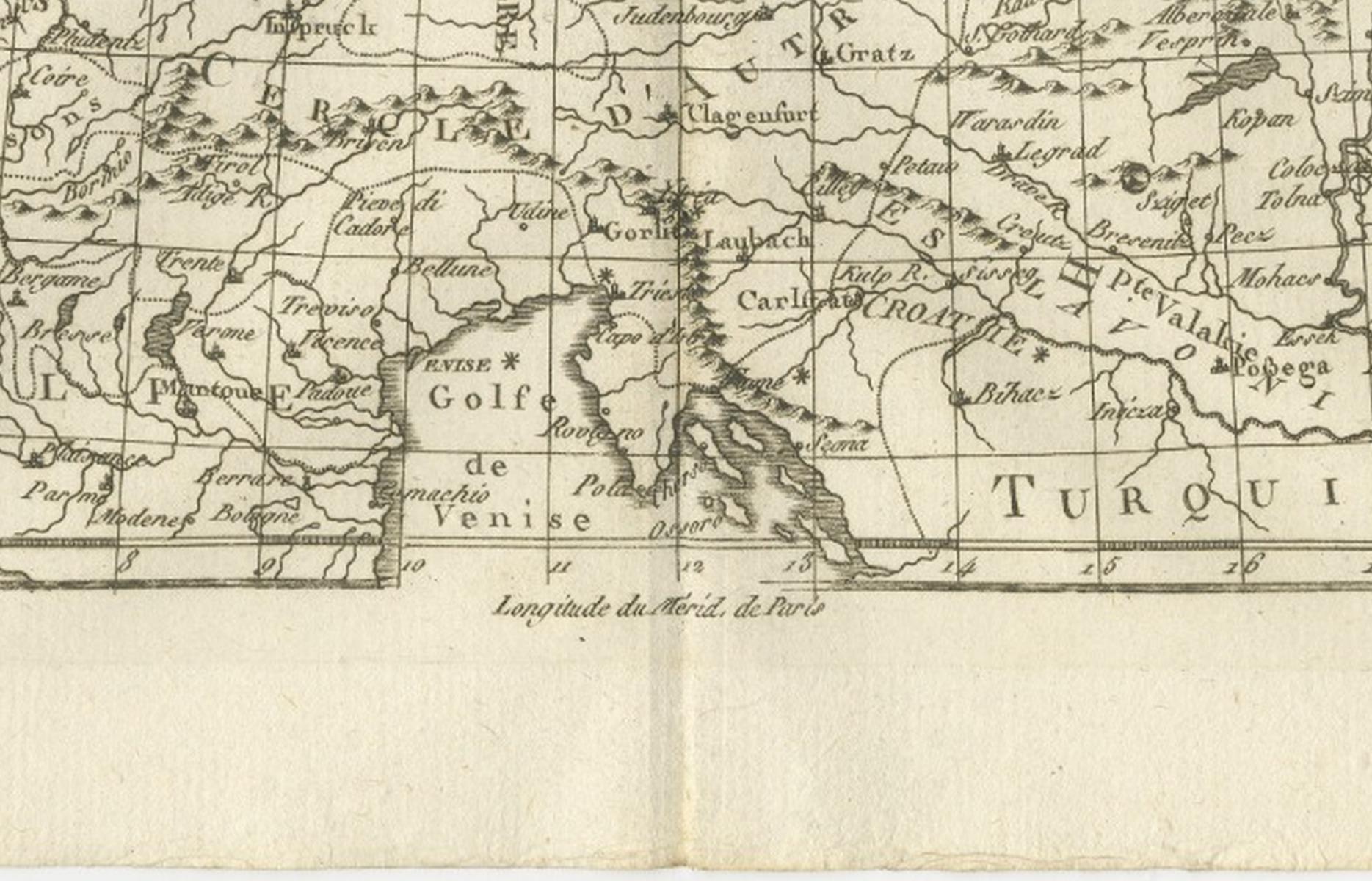
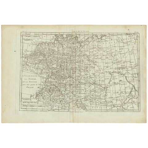
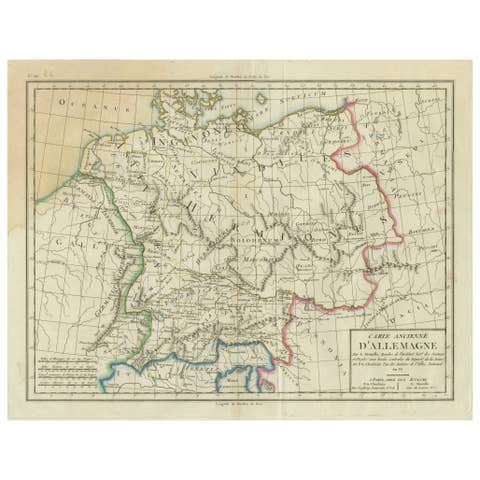
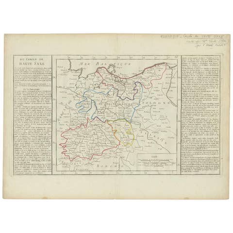
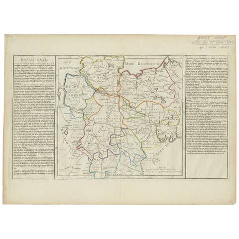
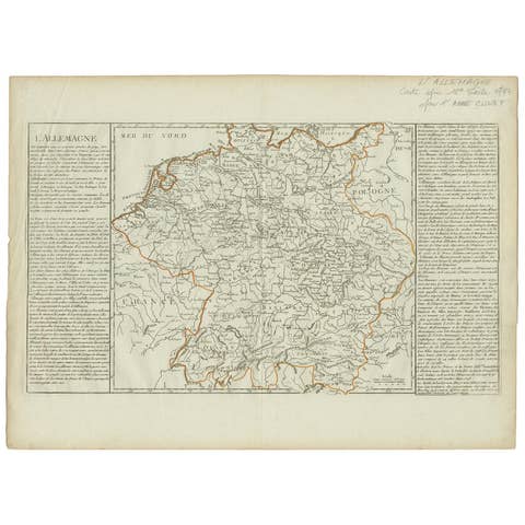
This finely engraved late-18th-century map depicts Germany, Bohemia, Hungary, and adjoining parts of Central and Eastern Europe, engraved circa 1780 by Rigobert Bonne, one of the most important figures in Enlightenment-era French cartography. The map encompasses much of the Holy Roman Empire, Prussia, Poland, Austria, and the northern Balkans, presenting a clear and methodical geographic vision at a time of profound political and scientific transformation in Europe.
Bonne served as Ingénieur-Hydrographe de la Marine and chief cartographer at the Dépôt de la Marine in Paris, where he succeeded Jacques-Nicolas Bellin. Under Bonne’s direction, French mapmaking moved decisively away from decorative excess toward scientific rigor, privileging accurate measurement, standardized projection, and the synthesis of the latest geographic intelligence. His maps were widely disseminated through influential French atlases and became reference points for both scholars and administrators across Europe.
This map is characteristic of Bonne’s mature style: precise engraving, balanced composition, and exceptional legibility. Major political entities such as Prussia, Bohemia, Hungary, Poland, and the German states are clearly delineated, while rivers including the Rhine, Danube, Elbe, and Vistula structure the geography with clarity. Important cities such as Vienna, Prague, Berlin, Munich, Frankfurt, and Cologne are prominently shown, reflecting their political and commercial significance within the late 18th-century European landscape.
Visually restrained and intellectually grounded, the map has strong decorative appeal for contemporary interiors. The calm tonal range, dense yet orderly detail, and generous margins make it particularly effective when framed, either as a standalone statement piece or as part of a wider European map grouping. It appeals equally to collectors of Enlightenment cartography and interior designers seeking historically meaningful works with architectural presence.
Condition report:
Good antique condition. Light age toning and minor handling wear consistent with 18th-century copperplate engraving. Original centerfold as issued. Clear impression with strong detail throughout; margins ample for framing.
Framing tips:
Works beautifully in a dark walnut or ebonized frame with a generous ivory or soft off-white mat. Museum glass recommended to preserve detail and enhance contrast. Suitable for both classic and contemporary interiors.
Technique: Copperplate engraving
Maker: Rigobert Bonne, France, circa 1780
Keyword: Germany antique map, Allemagne antique map, Holy Roman Empire map, Central Europe map, Rigobert Bonne map, 18th century Europe map, Enlightenment cartography France, Bohemia antique map, Boheme map, Hungary antique map, Hongrie map, Austria antique map, Habsburg Empire map, Prussia antique map, Poland antique map, Danube River map, Rhine River map, Elbe River map, Vistula River map, Vienna Wien map, Prague Praha map, Berlin map, Munich map, Frankfurt map, Cologne Köln map, Hamburg map, Dresden map, Leipzig map, Nuremberg map, Silesia map, Moravia map, Transylvania map, Bavaria map, Saxony map, decorative antique wall map, scientific cartography 18th century