About this sheet
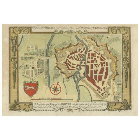
Decorative Hanover City Plan, Hand-Colored Georgian Map, Germany, c.1785
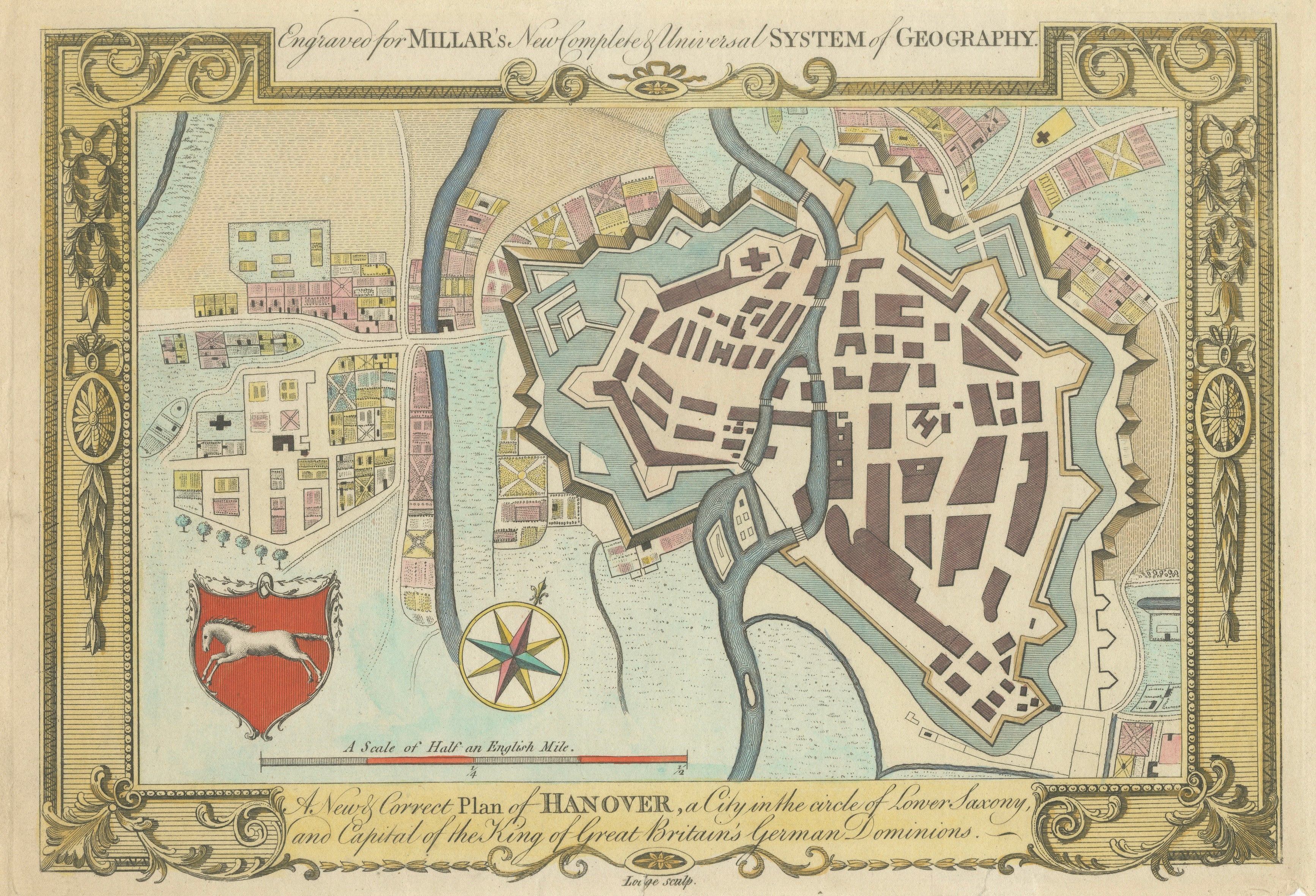
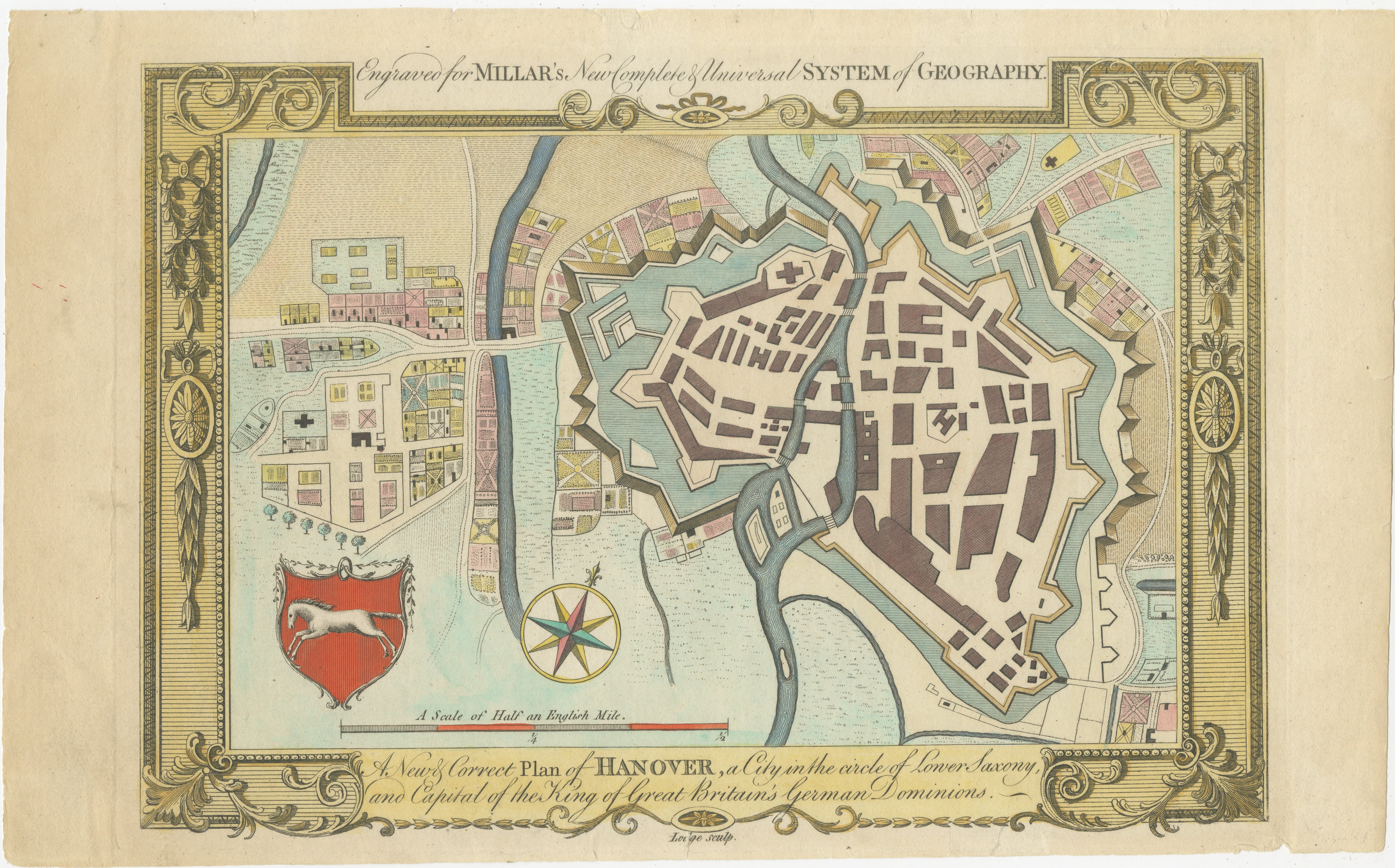
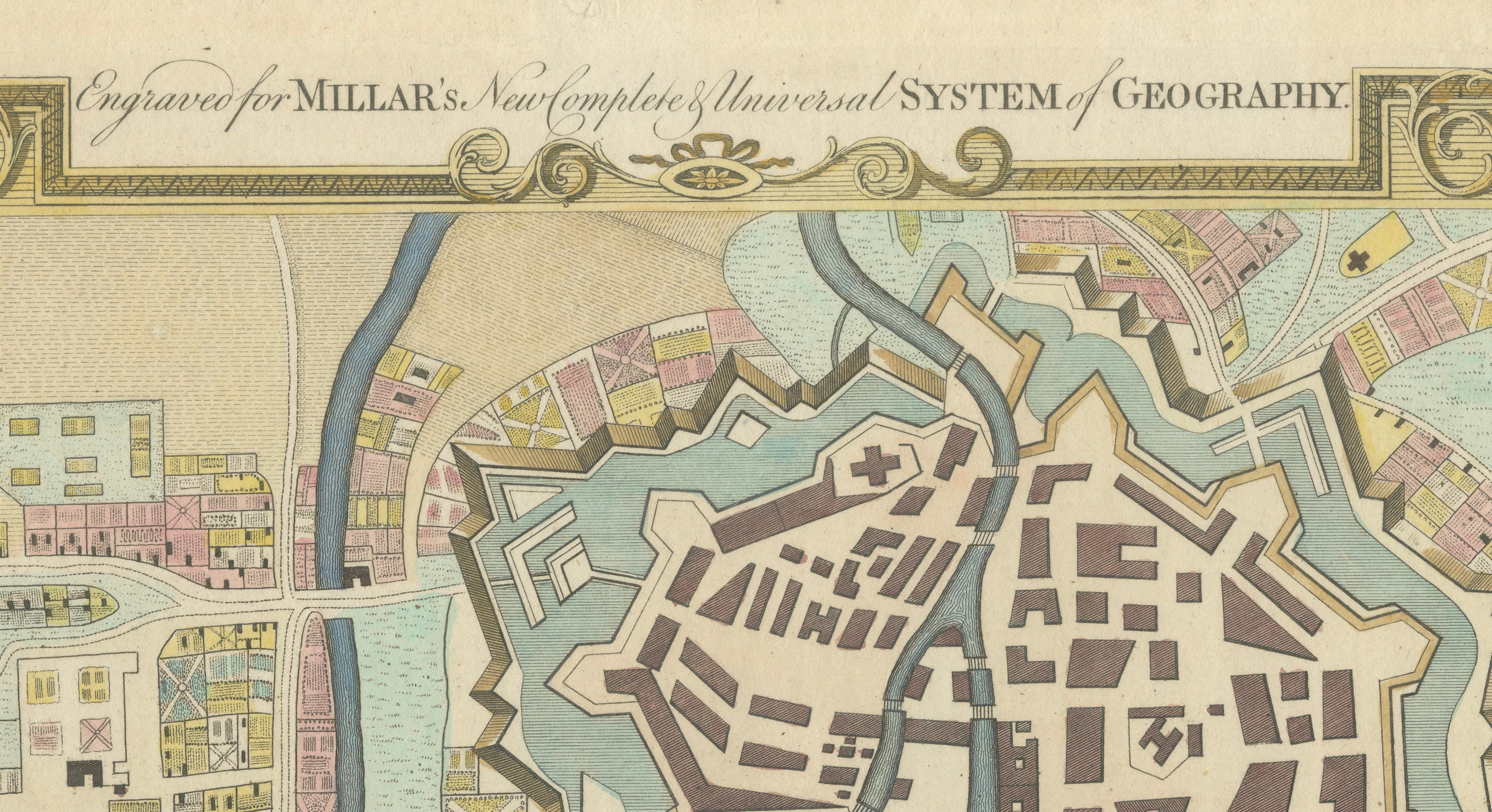
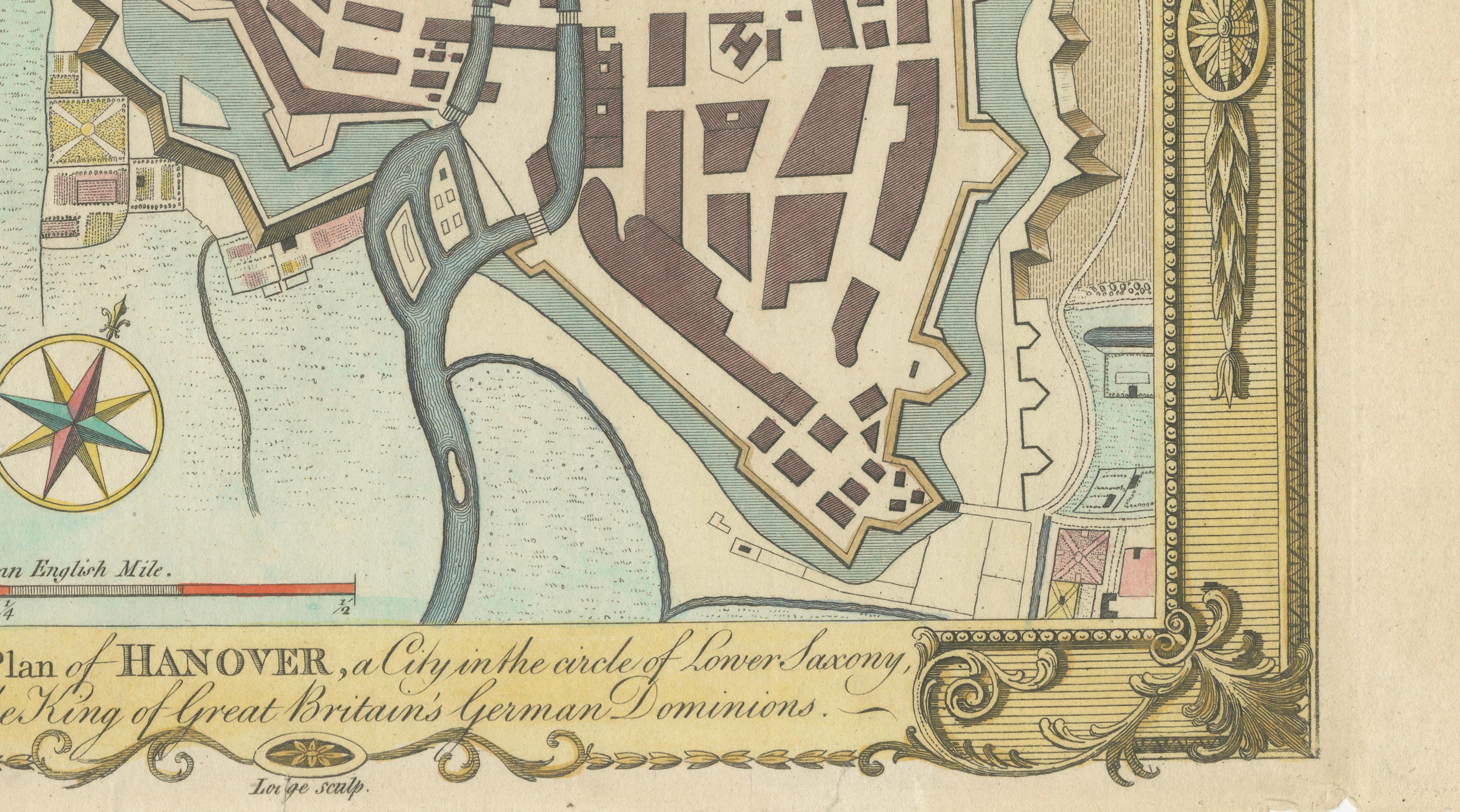
This elegant late 18th-century hand-colored copperplate engraving presents a highly decorative plan of the city of Hanover, titled “A New & Correct Plan of Hanover, a City in the Circle of Lower Saxony, and Capital of the King of Great Britain’s German Dominions.” Published in London circa 1782–1785 as part of George Henry Millar’s New Complete & Universal System of Geography, the map reflects both the political significance and architectural sophistication of Hanover during the Georgian period.
The plan depicts the fortified city in remarkable detail, with its distinctive star-shaped bastions, defensive walls, and surrounding waterways clearly delineated. The River Leine winds through the composition, emphasizing the city’s strategic position and the integration of natural and engineered defenses. Streets, buildings, and key structures are rendered in a clear and orderly layout, offering insight into Hanover’s urban organization in the late 18th century.
At the time of publication, Hanover held a unique political status, being in personal union with Great Britain under King George III. This connection heightened British interest in the region and contributed to the inclusion of such detailed city plans in popular geographical works of the period.
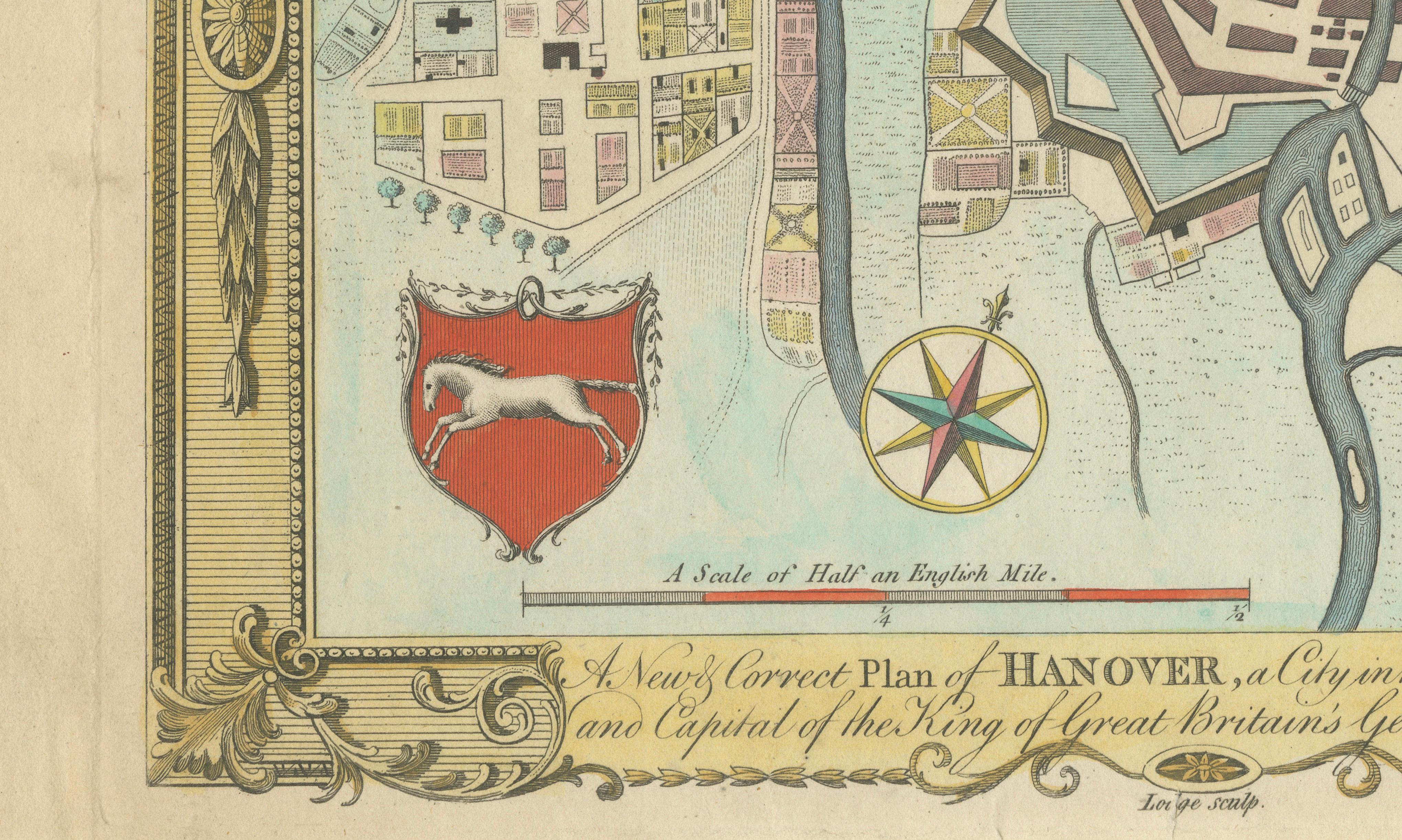
The engraving is further enhanced by its richly ornamented border, a hallmark of Millar’s atlas style. Elaborate scrollwork, floral motifs, and decorative framing elements give the print a refined and luxurious appearance, making it particularly attractive as a wall piece. The original hand coloring, including the red shield bearing the white horse of Lower Saxony, adds vibrancy and depth to the composition.
As a decorative object, this map is especially versatile. The combination of precise cartography and ornate design makes it ideal for both traditional and contemporary interiors, particularly in studies, libraries, or spaces inspired by European history and architecture.
Condition: Good condition for its age, with light age-related toning and minor spotting, mainly in the margins. The original hand coloring remains fresh and well-preserved. Plate mark visible.
Framing tips: Best presented with a generous ivory or cream mat to complement the warm tones of the paper and coloring. A classic walnut or gilded frame enhances the decorative border and gives the piece a refined, gallery-quality appearance.
Note: The image is an original antique engraving and not a reproduction. The engraving is sold unframed.
Technique: Copperplate engraving with original hand coloring
Maker: John Lodge (after George Henry Millar), London, circa 1782–1785