Maps & PrintsBartele Gallery · Langweer
Home / Antique Maps / Europe / Western Europe / Germany

Germany

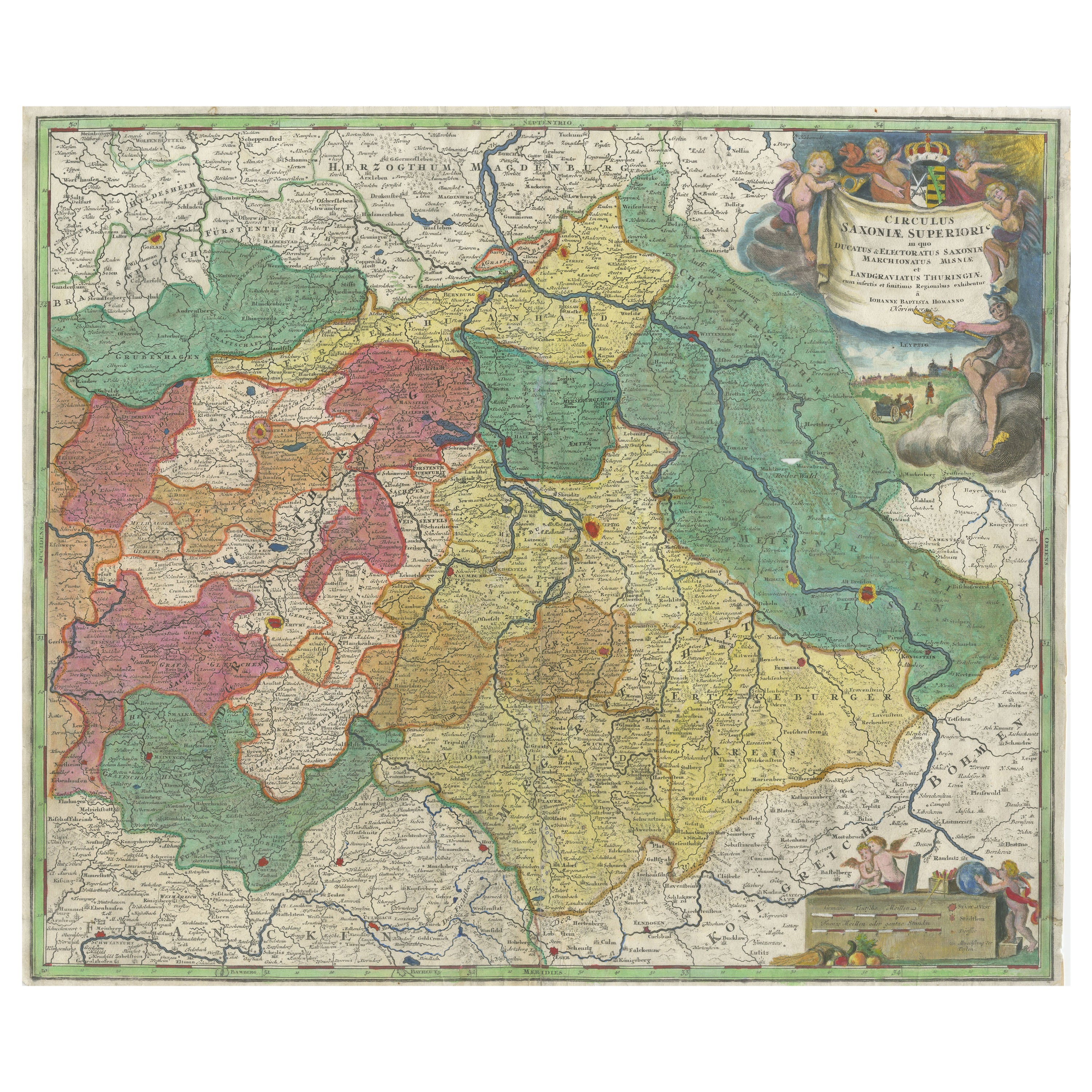
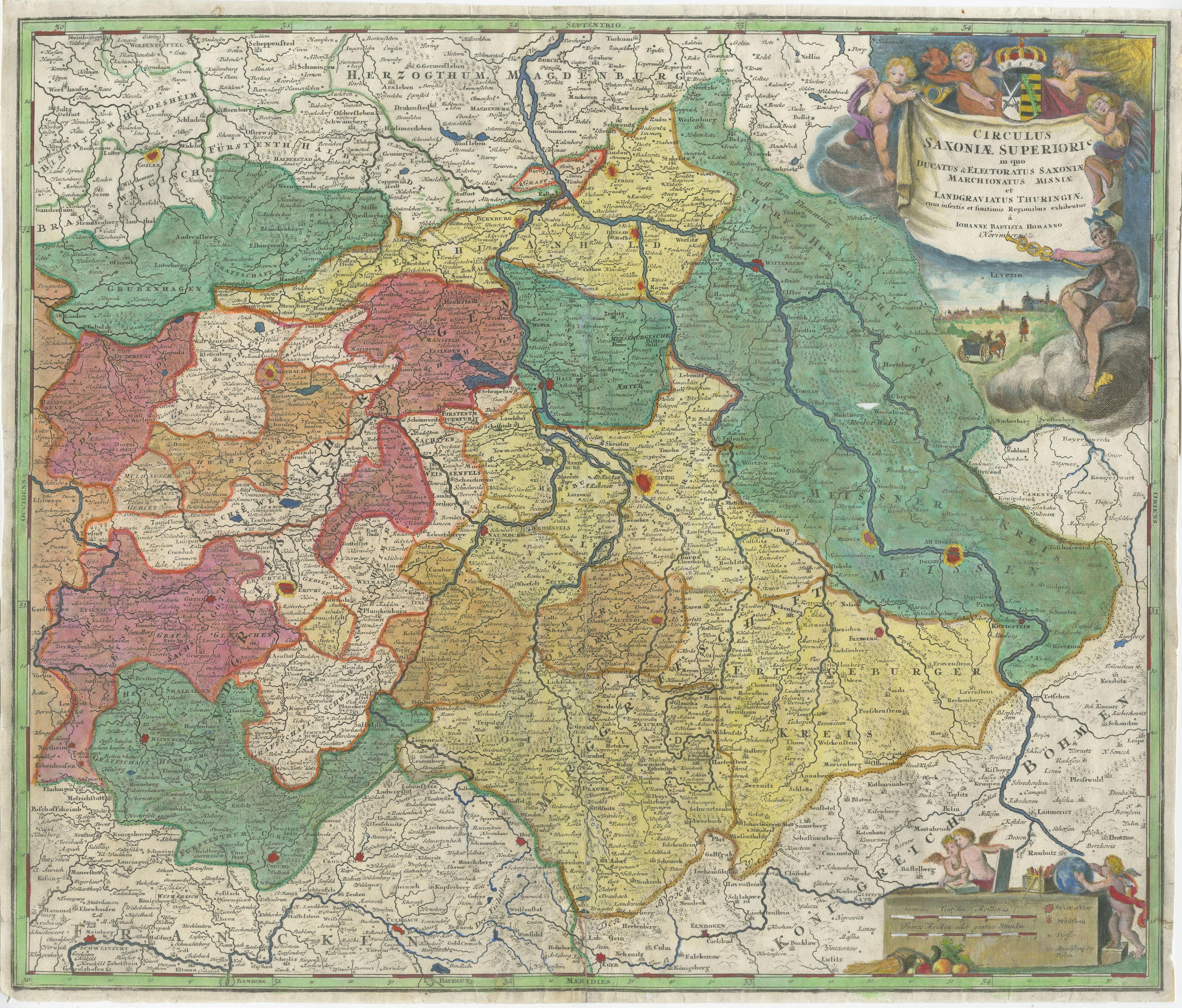
Antique Map of Saxony, Germany

€ 600

One of a kind: this is the sheet in the photographs. Ships from Langweer, the Netherlands.

Sheet size
49.5 × 58.5 cm (19.5 × 23.0 in)
Condition
Fair
Reference
BG-13140-1

Condition

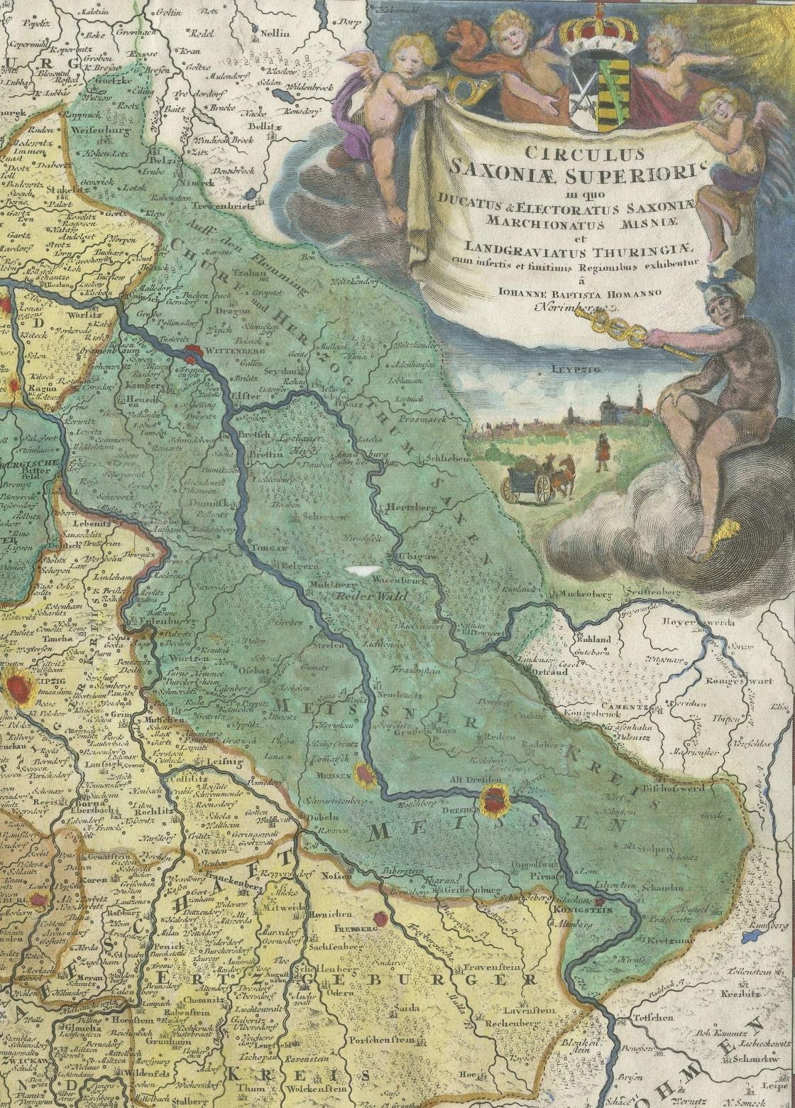
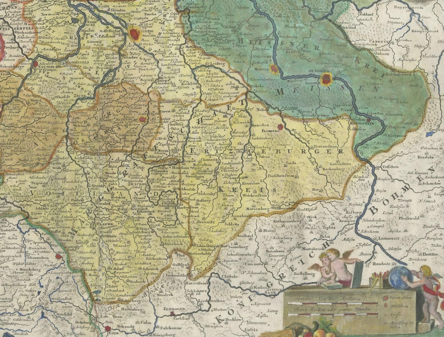
Repaired. Wear consistent with age and use. Minor losses. Minor structural damages. Partly original hand coloring, most is later hand coloring. Map is trimmed with repairs on folding line and margins, also affecting image. Defect in 'Rederwald' (hole and tear). Blank verso. Please study image ca


About this sheet

Original antique map titled 'Circulus Saxoniae Superioris'. Original antique map of Saxony, Germany. The cities of Leipzig, Freiburg and many others are highlighted in gold. This map originates from 'Atlas Novus Terrarum Orbis Imperia Regna et Status Exactis Fabulis Geographice Demonstrans'. Published circa 1720 by J.B. Homann.

Johann Baptiste Homann (1664-1724), Nuremberg, was born in Oberkammlach, the Electorate of Bavaria. Although educated at a Jesuit school, and preparing for an ecclesiastical career, he eventually converted to Protestantism and from 1687 worked as a civil law notary in Nuremberg. He soon turned to engraving and cartography; in 1702 he founded his own publishing house. Homann acquired renown as a leading German cartographer, and in 1715 was appointed Imperial Geographer by Emperor Charles VI."

More from Germany

Ask about this sheet

Antique Map of Saxony, Germany
Ref. BG-13140-1 · € 600
We reply by email, usually within one working day.





