
Maps & PrintsBartele Gallery · Langweer
Home / Antique Maps / Europe / Western Europe / Germany

Germany

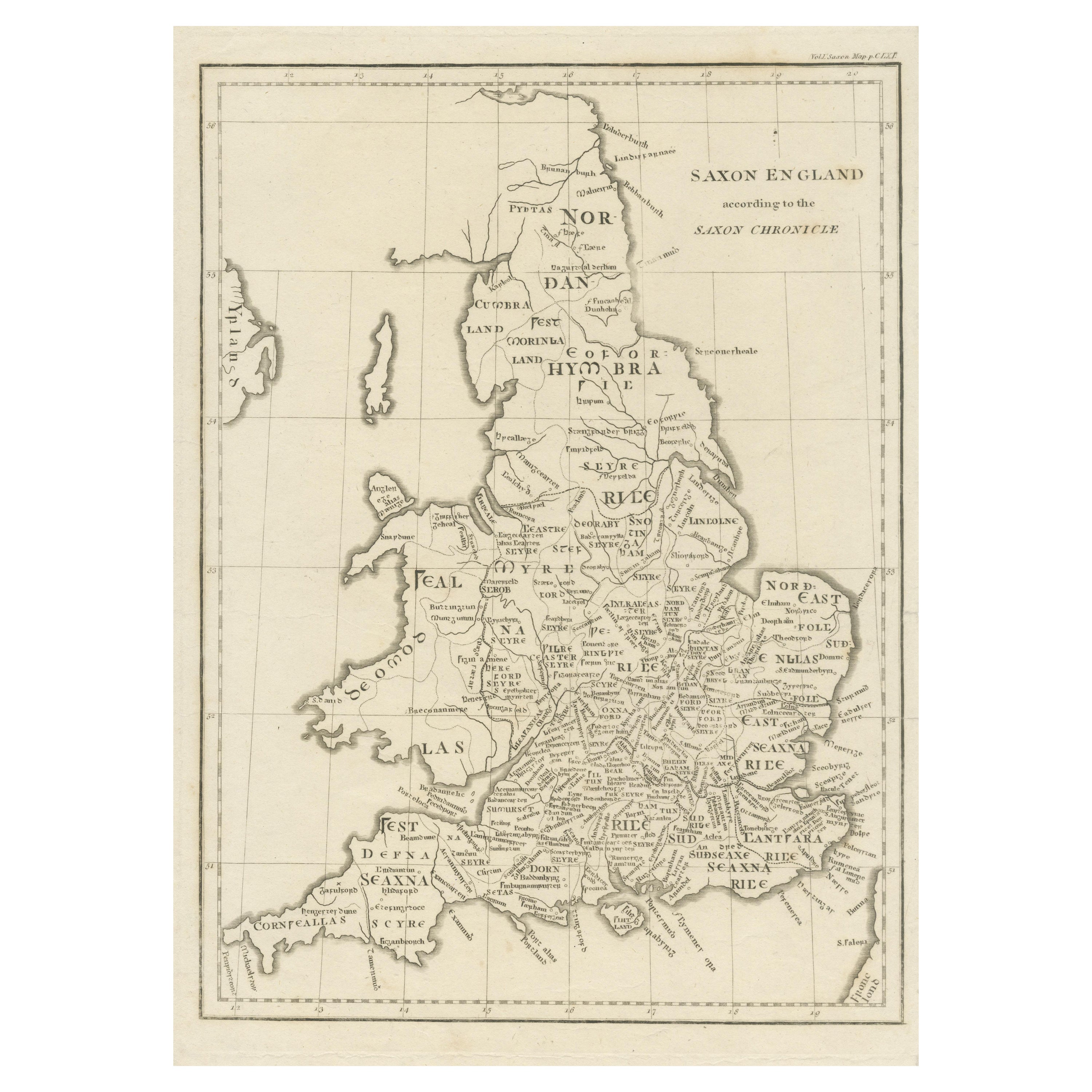
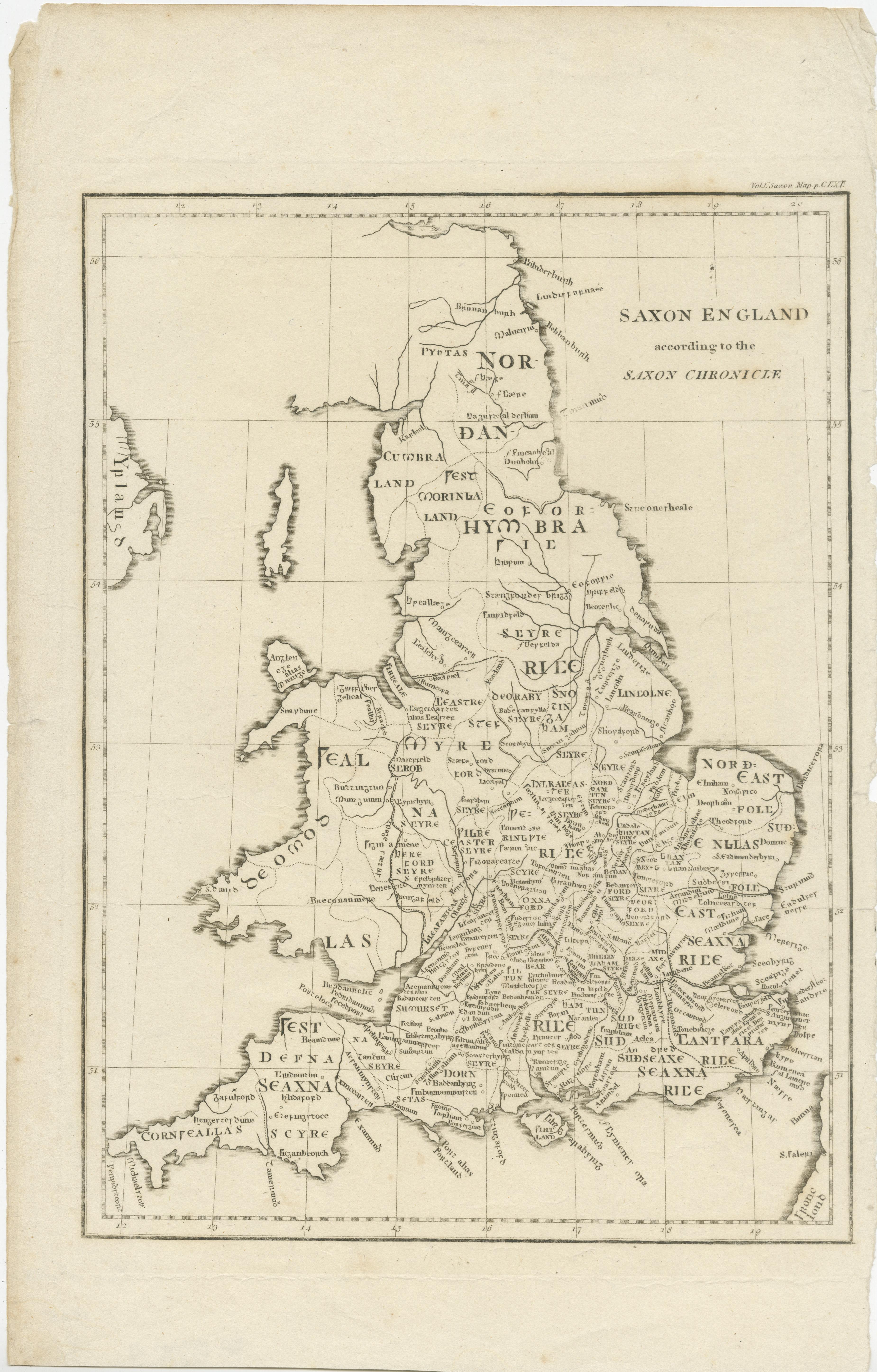
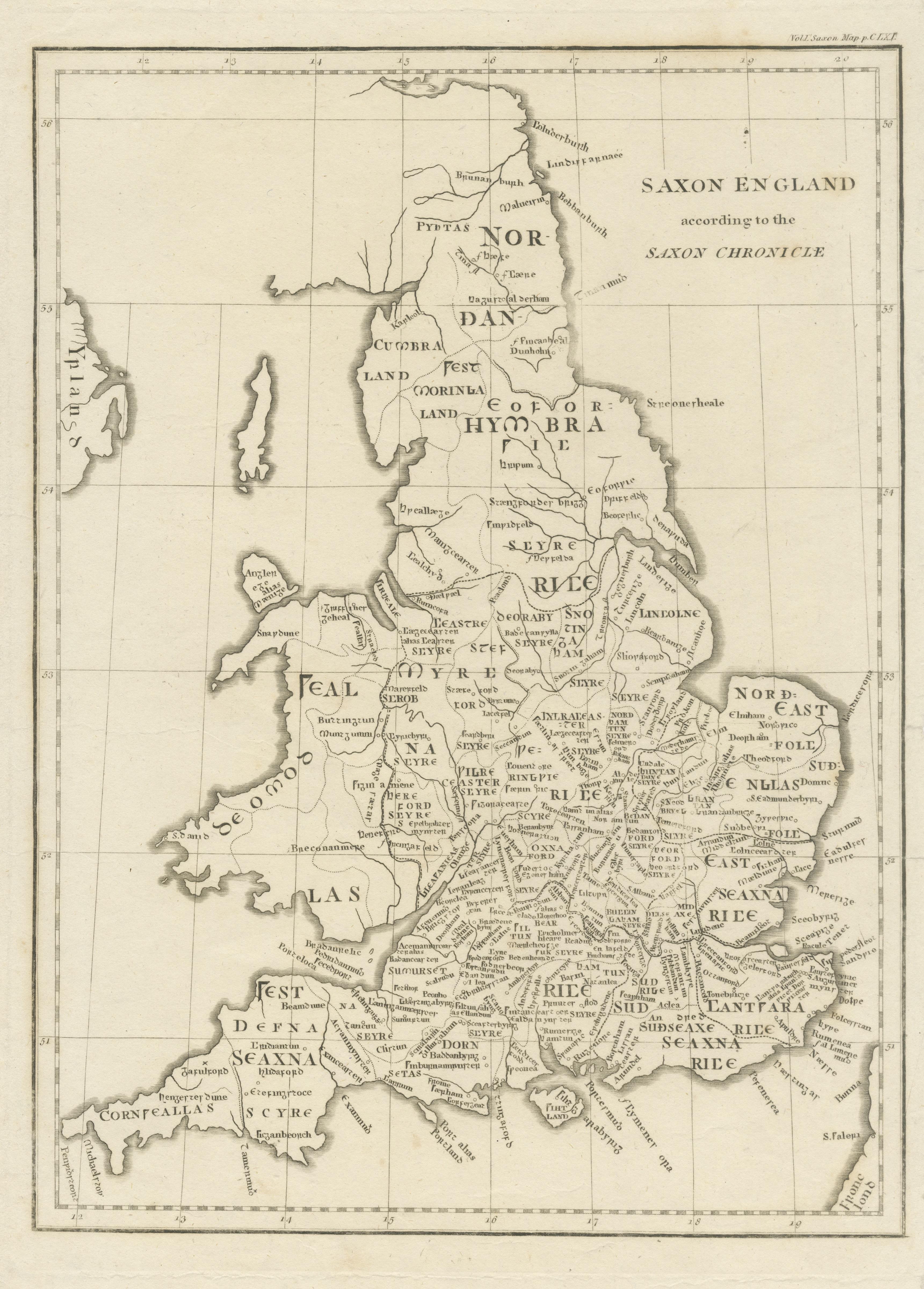
Antique Map of Saxon England according to the Anglo-Saxon Chronicle

€ 450

One of a kind: this is the sheet in the photographs. Ships from Langweer, the Netherlands.

Sheet size
40.7 × 26 cm (16.0 × 10.2 in)
Condition
Good
Reference
BG-13395-9

Condition

General age-related toning. Minor wear and soiling, blank verso. Small defects in margins. Please study image carefully.


About this sheet

Antique map titled 'Saxon England According to the Saxon Chronicle'. Map of Saxon England based upon descriptions in the Anglo-Saxon Chronicle, a collection of annals in Old English chronicling the history of the Anglo-Saxons.

This map originates from 'Britannia: or, a Chorographical Description of the Flourishing Kingdoms of England, Scotland, and Ireland, and the Islands Adjacent', a series of 4 travel logs written by William Camden (1551-1623) in 1586. Published 1806.

More from Germany

Ask about this sheet

Antique Map of Saxon England according to the Anglo-Saxon Chronicle
Ref. BG-13395-9 · € 450
We reply by email, usually within one working day.





