
Maps & PrintsBartele Gallery · Langweer
Home / Antique Maps / Europe / Western Europe / Germany

Germany

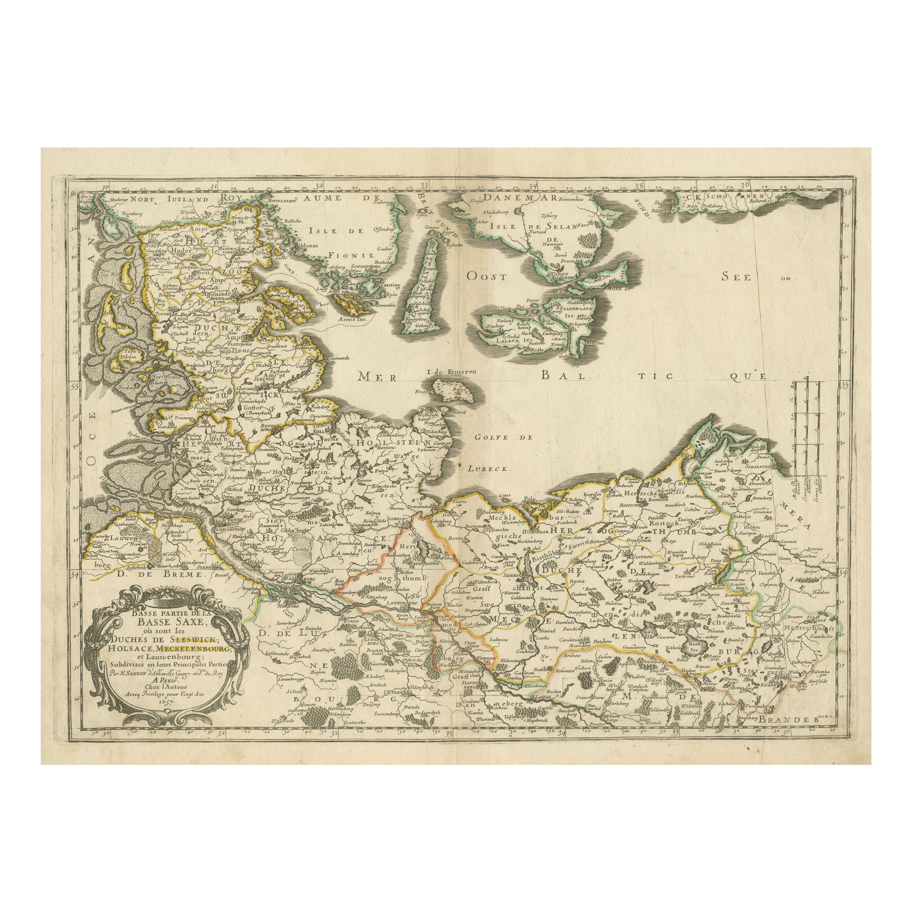

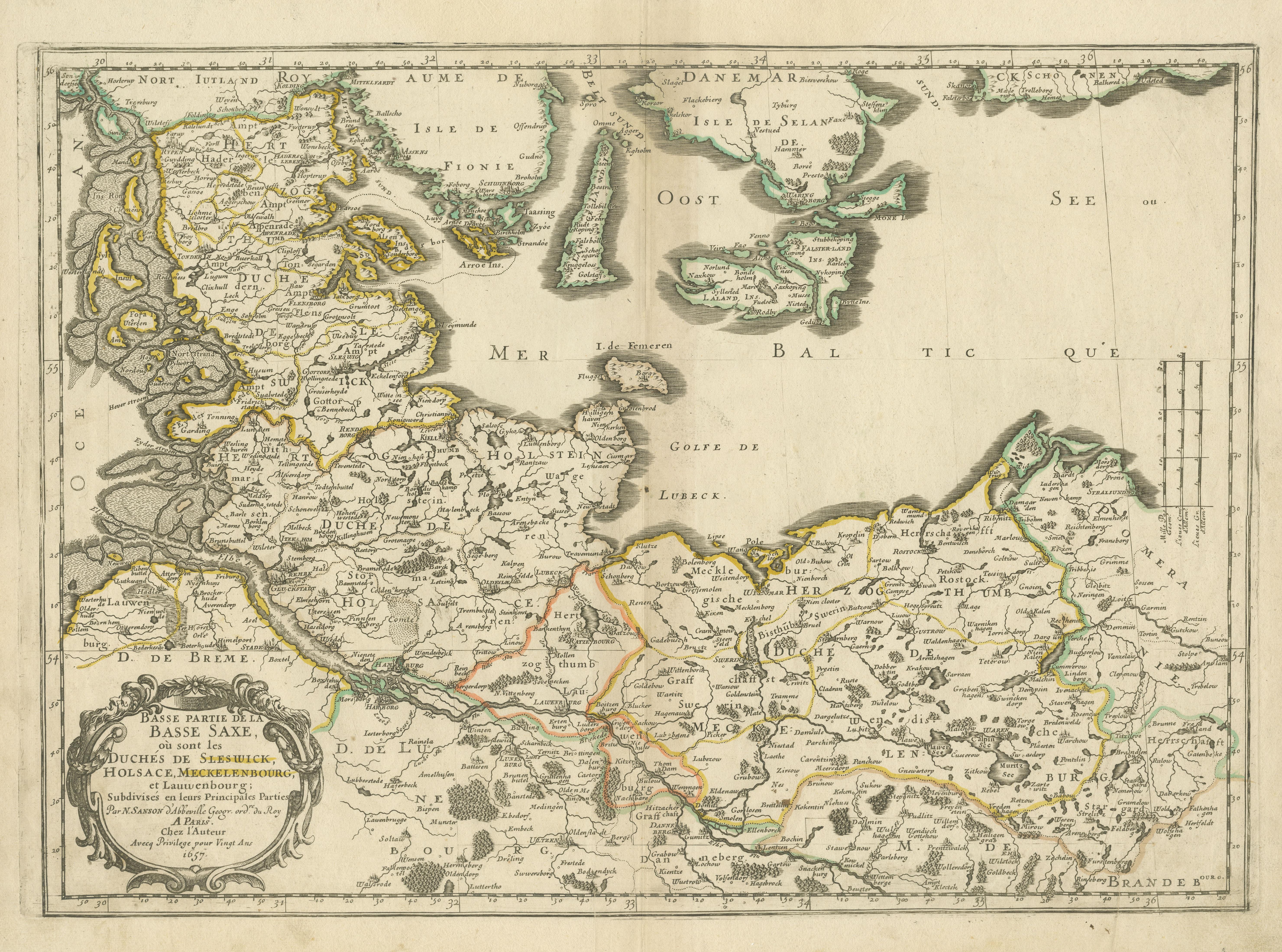
Antique Map of Northern Germany, Including Schleswig-Holstein and Hamburg

€ 540

One of a kind: this is the sheet in the photographs. Ships from Langweer, the Netherlands.

Sheet size
44.7 × 57 cm (17.6 × 22.4 in)
Condition
Fair
Reference
BG-13364-5

Condition

Wear consistent with age and use. Original outline hand coloring. Original folding line. General age-related toning. Shows some wear and soiling, blank verso. Please study image carefully.


About this sheet

Antique map titled 'Basse Partie de la Basse Saxe ou sont les Duchés de Sleswick, Holsace, Meckelenbourg et Lauvenbourg (..)'. Original old map of northern Germany, including Schleswig-Holstein, Hamburg, and Mecklenburg-Vorpommern. Published by N. Sanson, 1657.

Nicholas Sanson (1600-1667) is considered the father of French cartography in its golden age from the mid-seventeenth century to the mid-eighteenth. Over the course of his career he produced over 300 maps; they are known for their clean style and extensive research. Sanson was largely responsible for beginning the shift of cartographic production and excellence from Amsterdam to Paris in the later-seventeenth century.

More from Germany

Ask about this sheet

Antique Map of Northern Germany, Including Schleswig-Holstein and Hamburg
Ref. BG-13364-5 · € 540
We reply by email, usually within one working day.





