Maps & PrintsBartele Gallery · Langweer
Home / Antique Maps / Europe / Western Europe / Germany

Germany

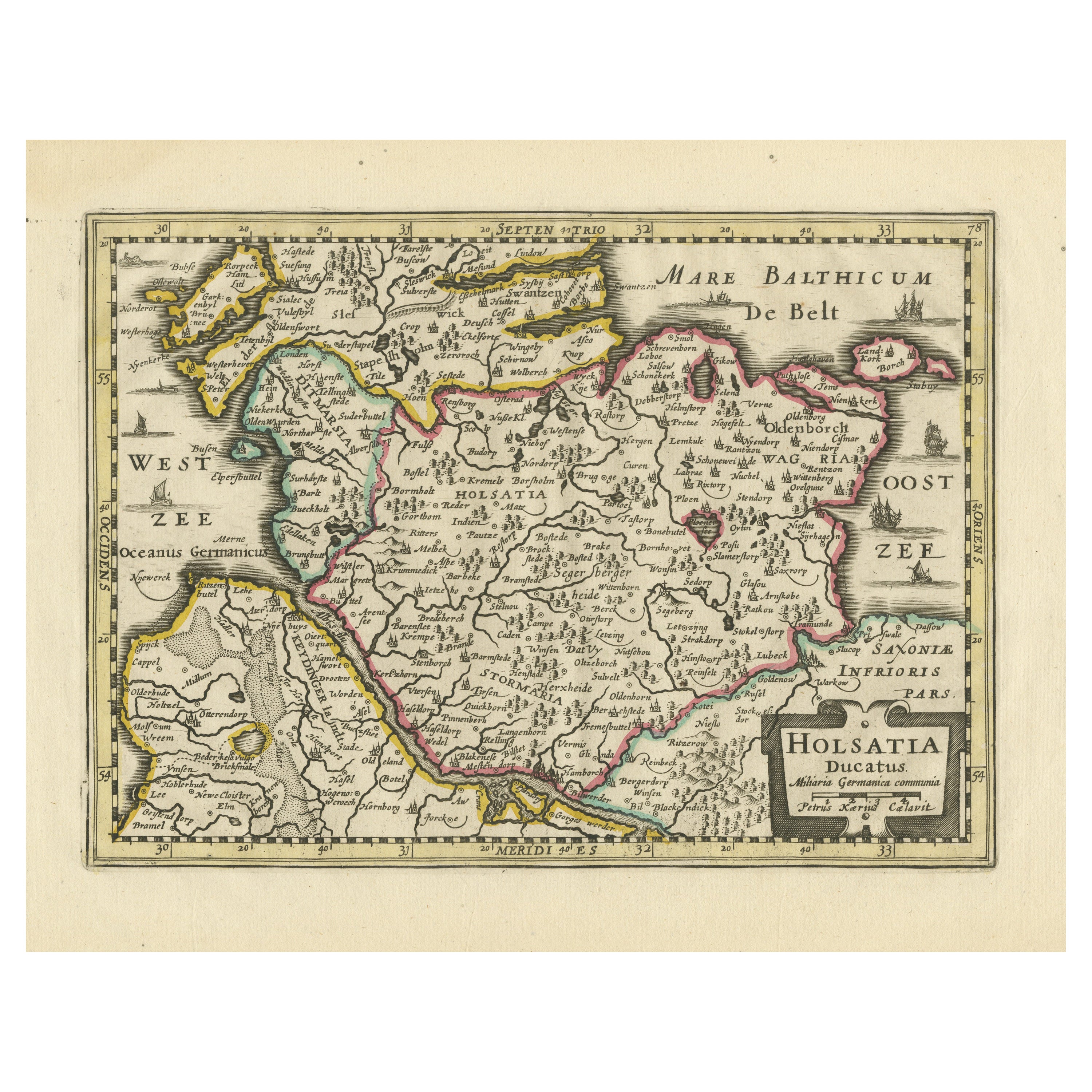
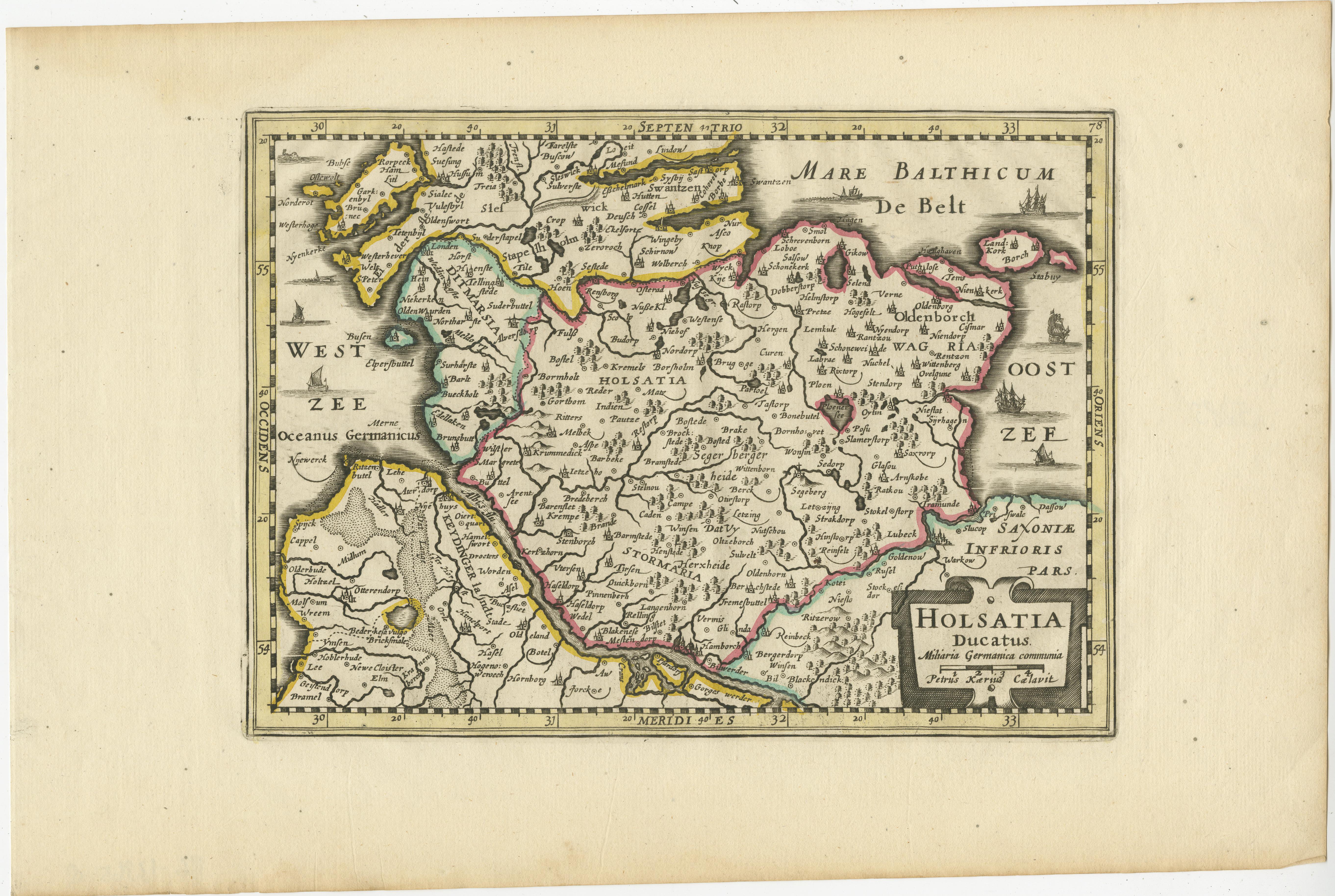
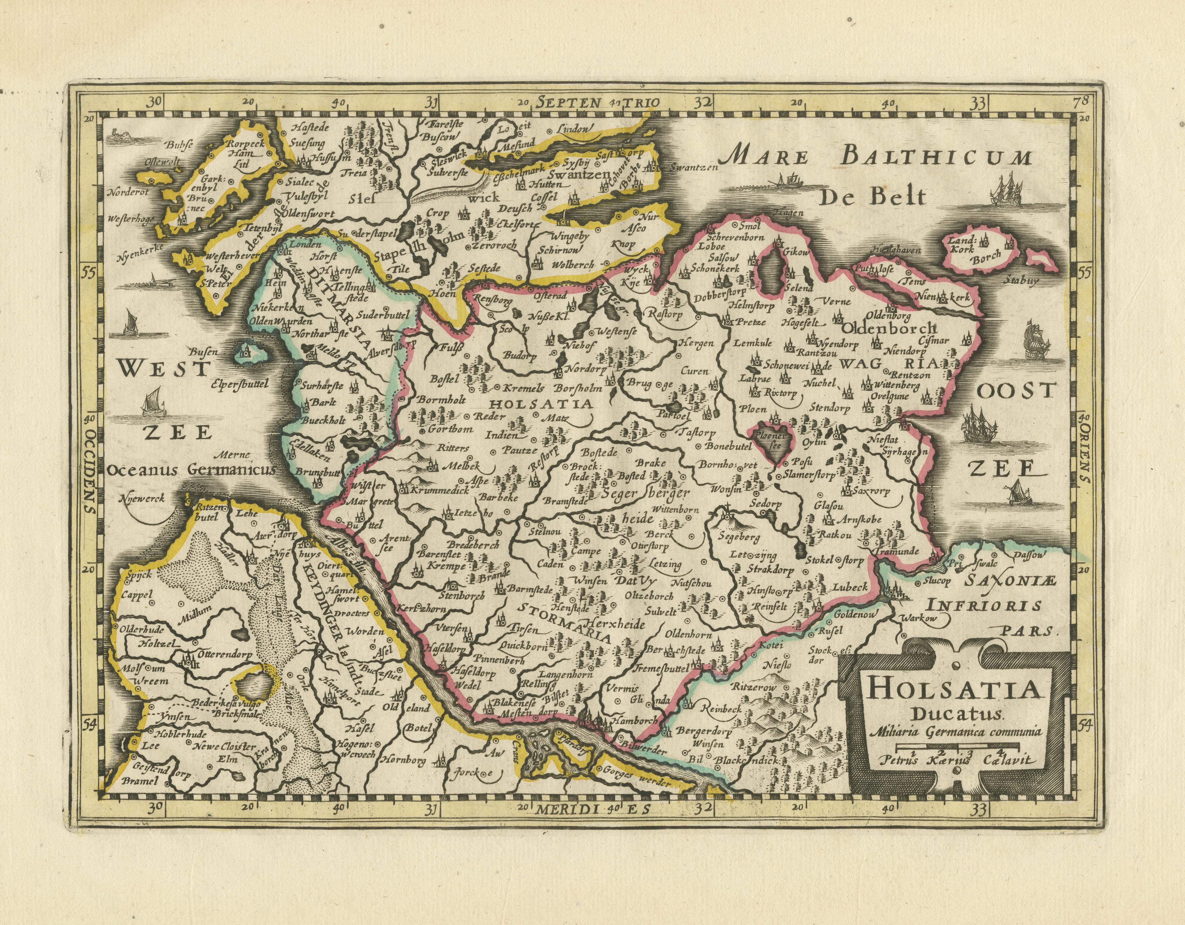
Antique Map of Holstein, Germany

€ 380

One of a kind: this is the sheet in the photographs. Ships from Langweer, the Netherlands.

Sheet size
25 × 38 cm (9.8 × 15.0 in)
Condition
Good
Reference
BG-13365-8

Condition

General age-related toning. Minor wear and soiling, blank verso. Please study image carefully.

About this sheet

Antique map titled 'Holsatia Ducatus'. Original old map of Holstein, Germany. By Petrus Kaerius, published circa 1650. Pieter van den Keere (Latin: Petrus Kaerius 1571 – circa 1646) was a Flemish engraver, publisher and globe maker.

More from Germany

Ask about this sheet

Antique Map of Holstein, Germany
Ref. BG-13365-8 · € 380
We reply by email, usually within one working day.






