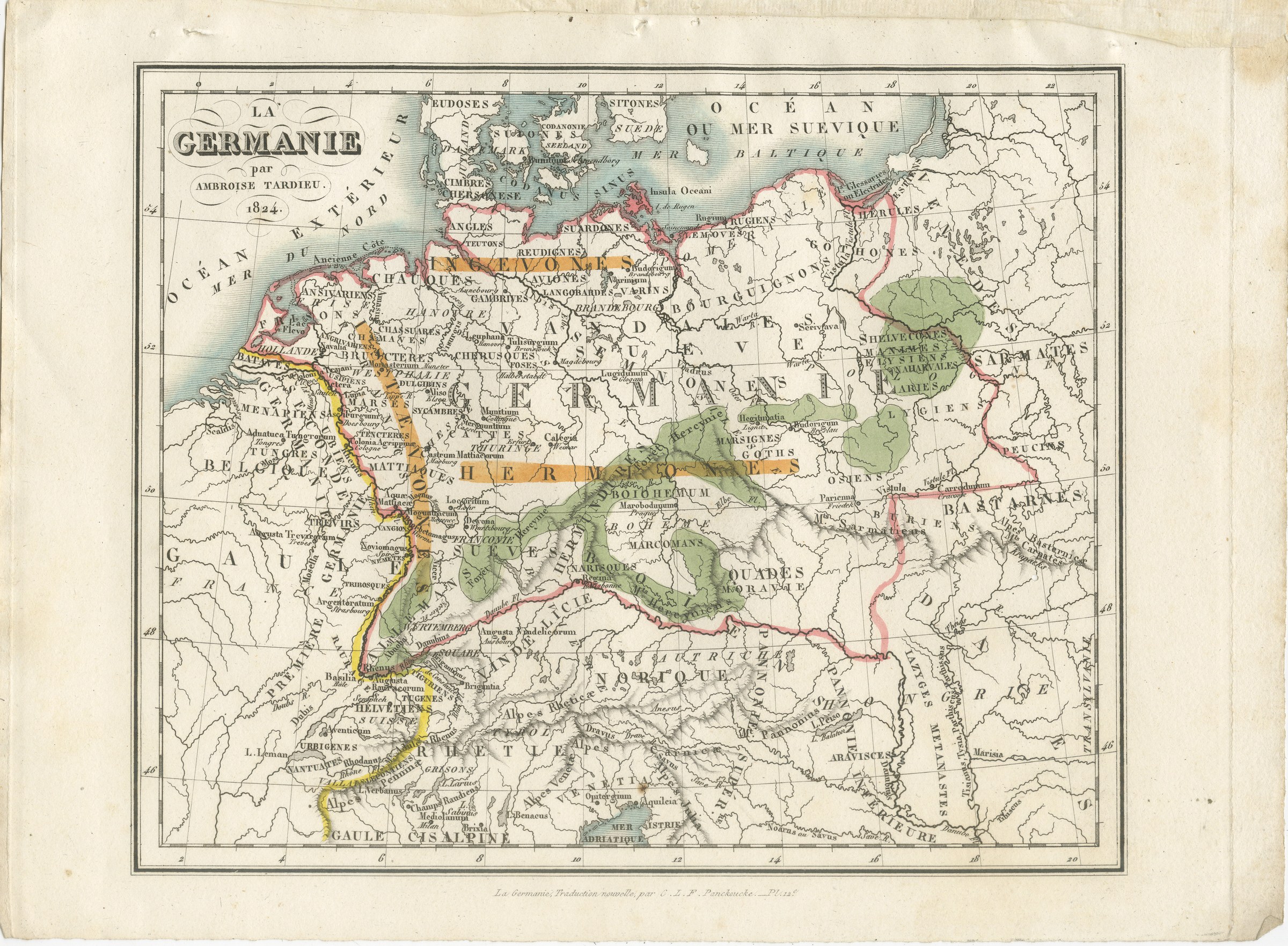
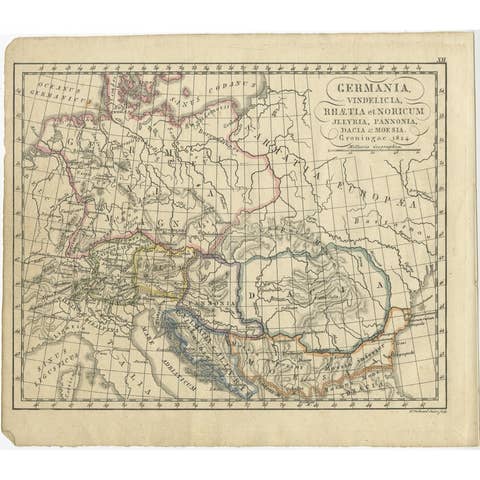
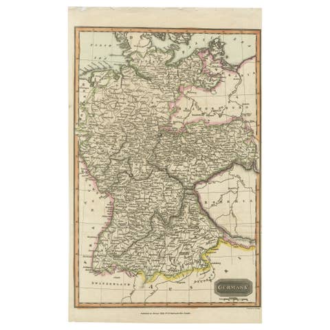
Antique Map of Ancient Germania with Tribal Names, Tardieu, 1824
US$435
Original antique · The actual sheet photographed · Certificate of authenticity on request · Sold unframed · Worldwide shipping from € 15 (rates)
Date
1824
Mapmaker / artist
Ambroise Tardieu, cartographer and engraver
Publisher
C. L. F. Panckoucke, Paris
Technique
Engraving with hand color
Coloring
Original hand color in outline
Sheet size
22 × 29 cm (8.7 × 11.4 in)
Condition
Good
Reference
BG-14473-12
What the condition grades mean
Excellent
Bright and clean, with no faults worth mentioning.
Very good
Only light signs of age, such as faint toning.
Good
Normal signs of age for a sheet of this period: toning, some foxing, small marks or neat old repairs.
Fair
Clear faults such as staining, tears or repairs, priced to match.
Every fault we see is written in the condition note, and the whole sheet is shown uncropped in the photos.
Condition
Light overall age toning, with darker along the left and top edges, foxing through the margins, one or two spots larger than the rest, stains in the margins and handling wear to the bottom left and bottom right corners.
About this sheet
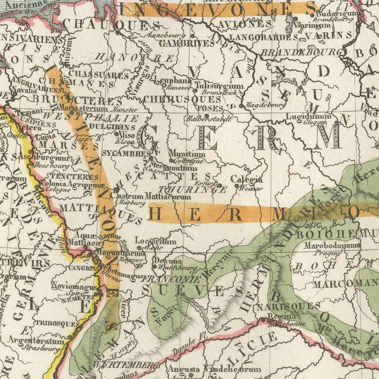
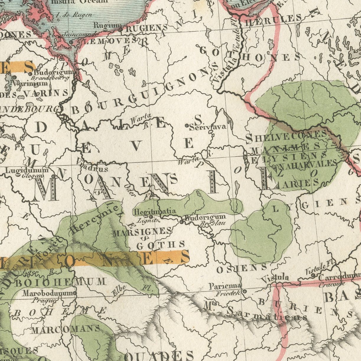
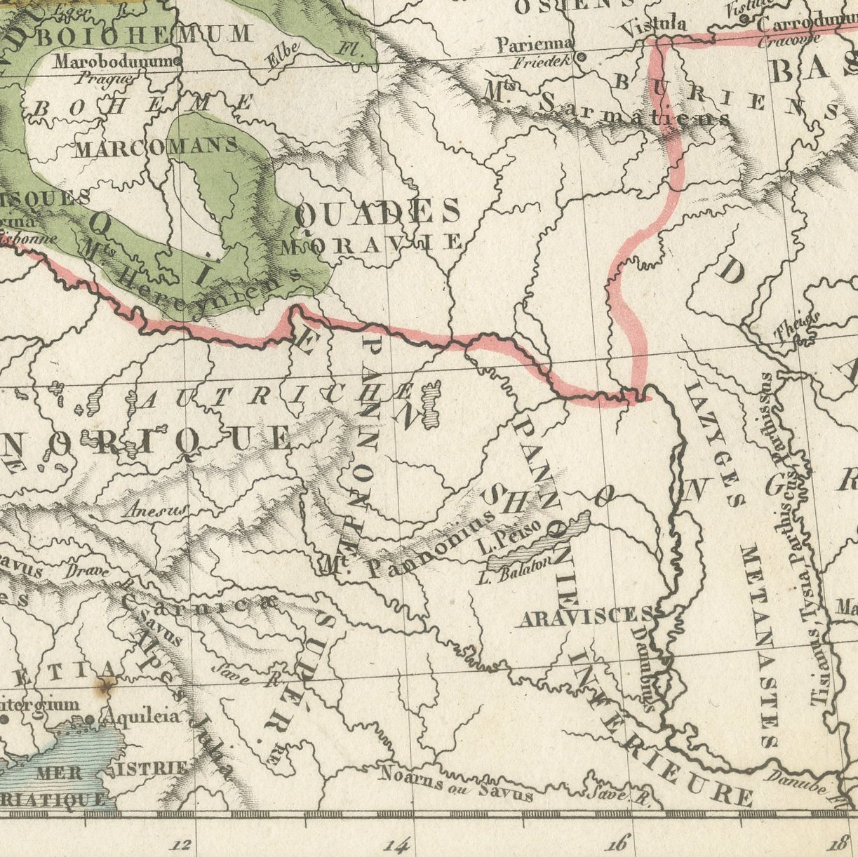
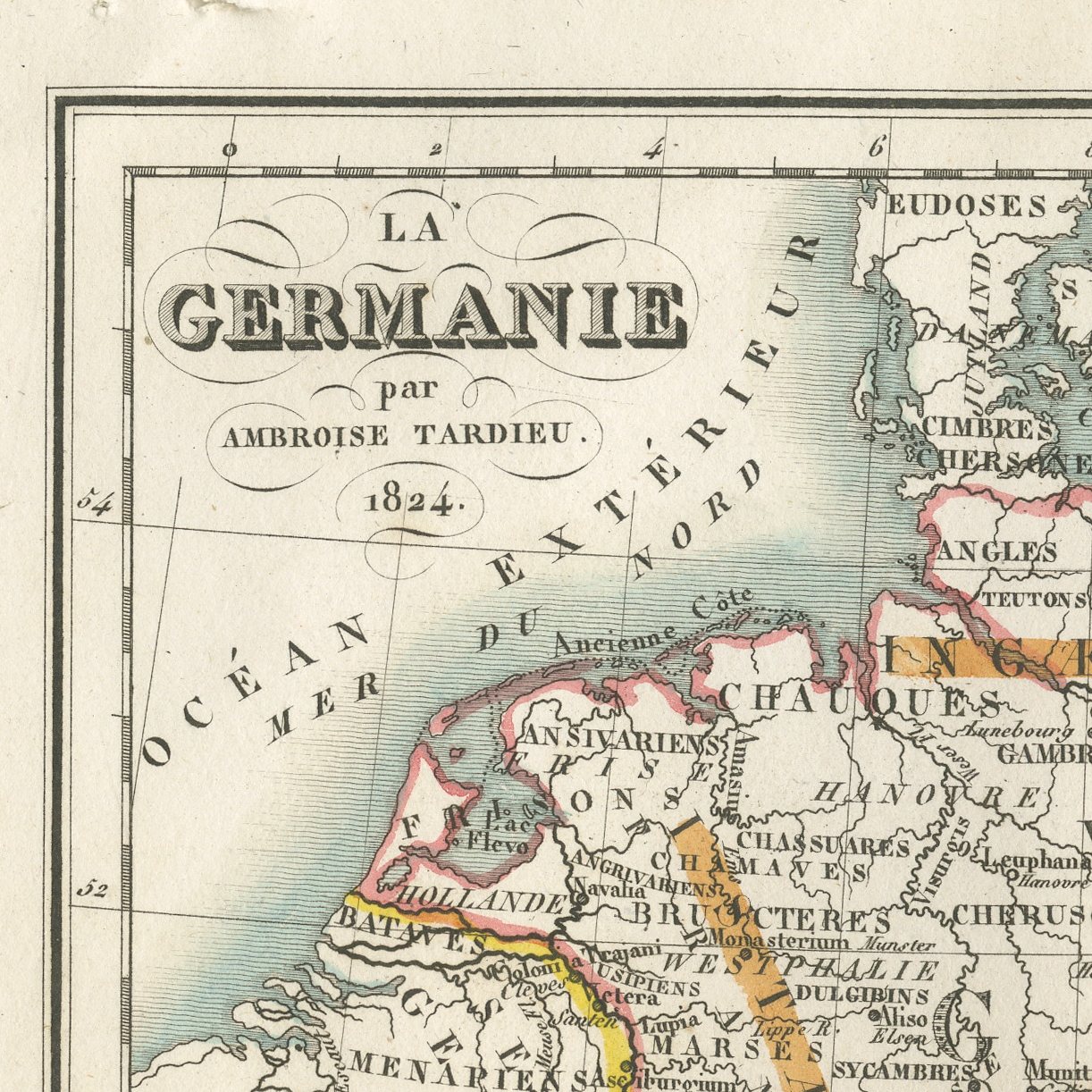
This is an original antique map of ancient Germania, engraved by Ambroise Tardieu and dated 1824 in its own cartouche, published in Paris in the atlas to Panckoucke's translation of Tacitus. The map covers the whole German world from the Rhine to the Baltic and from the Danube to the Cimbric peninsula, and it carries two geographies at once: the tribal names of Tacitus engraved across the country, Chauci, Cherusci, Langobardi, Frisii, Bructeri, Suiones and Sitones among many others, printed over the modern states of Denmark, Sweden, Holland, Hanover, Brunswick and Brandenburg. The regions are finished in original hand color in outline, with the ancient divisions washed in clear soft tones that separate one people from the next.
The sheet comes from the atlas volume of La Germanie, Charles Louis Fleury Panckoucke's French translation of the Germania of Tacitus, with a commentary drawn from Montesquieu and other writers, printed and published by Panckoucke in Paris in 1824. The atlas has twelve plates, four of them colored by hand, nearly all drawn or engraved by Ambroise Tardieu or engraved under his direction. Each sheet carries the footline La Germanie, Traduction nouvelle par C. L. F. Panckoucke, with its plate number.
This is plate 12, the map of the atlas and one of its four hand-colored plates. The tribal names of the Germania are engraved over the modern countries of northern Europe, and the cartouche gives Tardieu's name and the date 1824. The wide format suits a study or a library.
Light overall age toning, with darker along the left and top edges, foxing through the margins, one or two spots larger than the rest, stains in the margins and handling wear to the bottom left and bottom right corners.
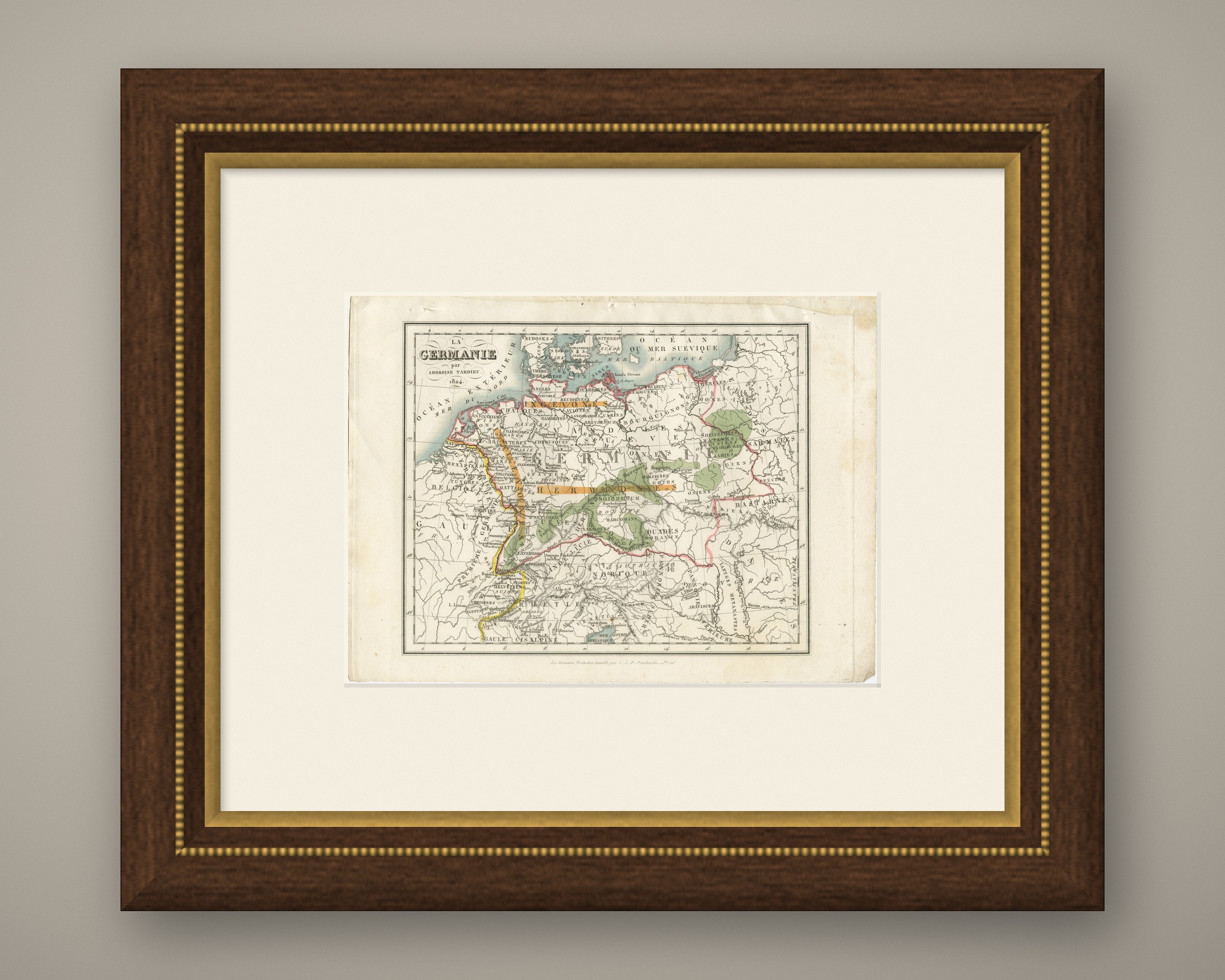
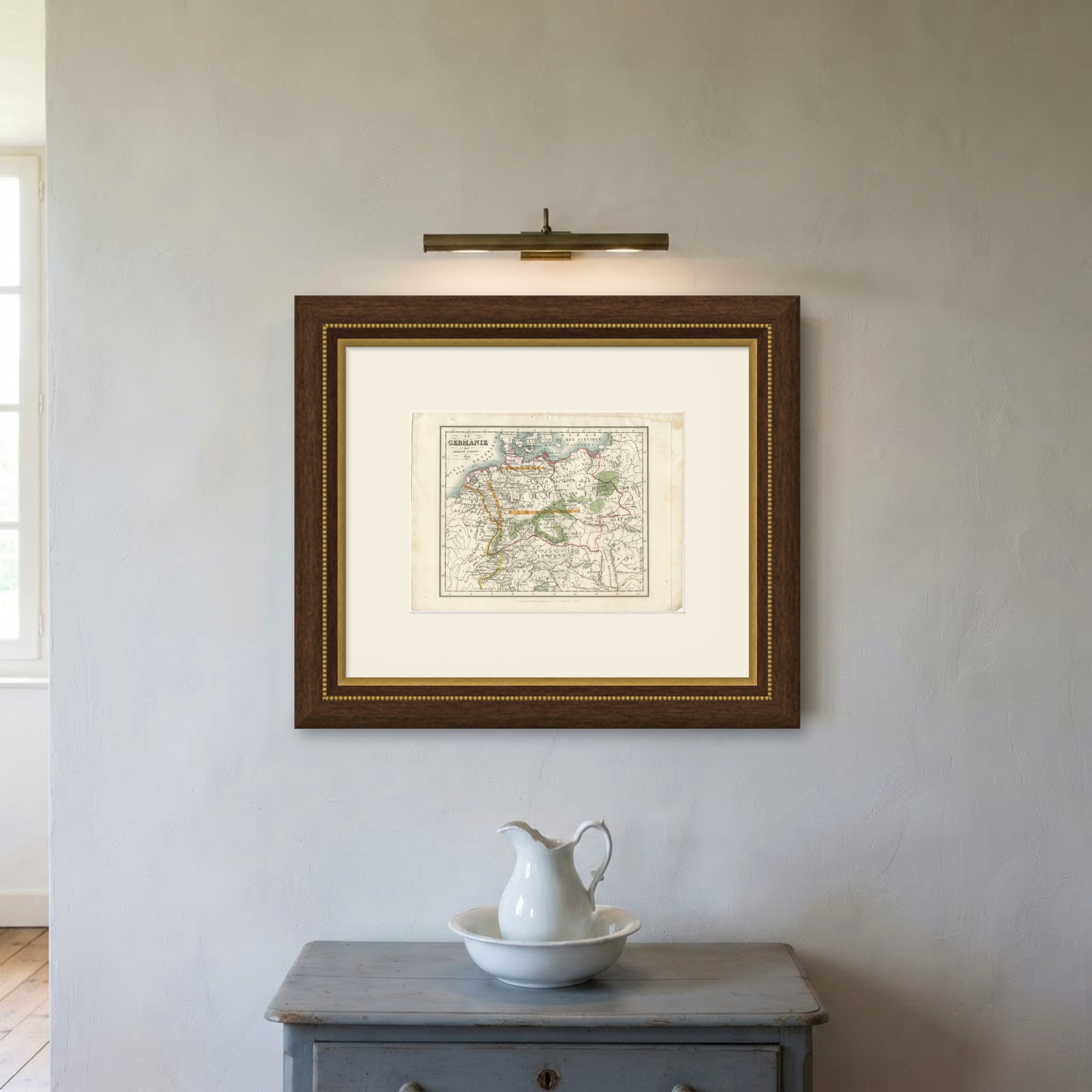
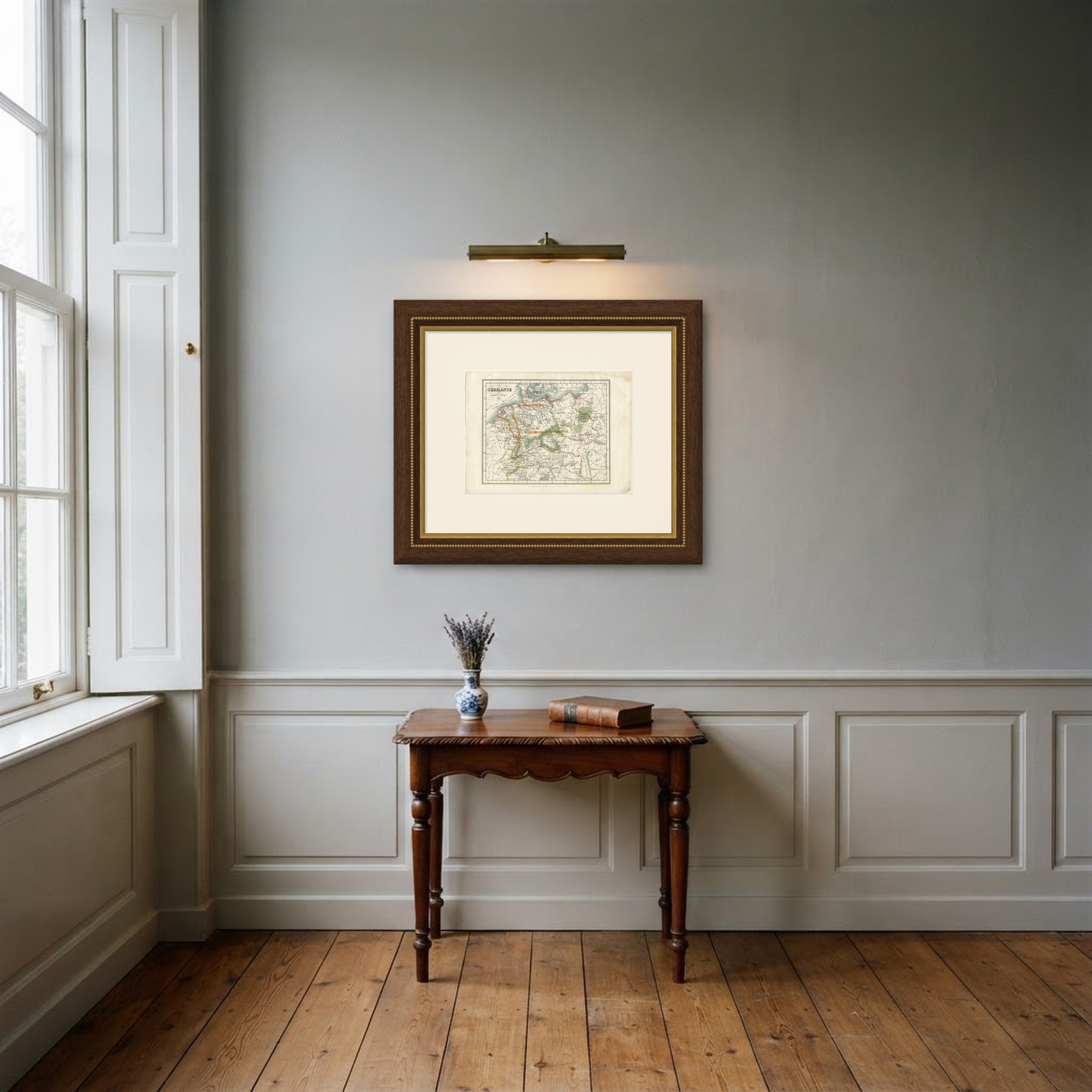
This is an original antique print, not a modern reproduction. This item is sold unframed. Any framed or interior images are shown for presentation and inspiration only, unless the listing explicitly states that the item is sold framed.