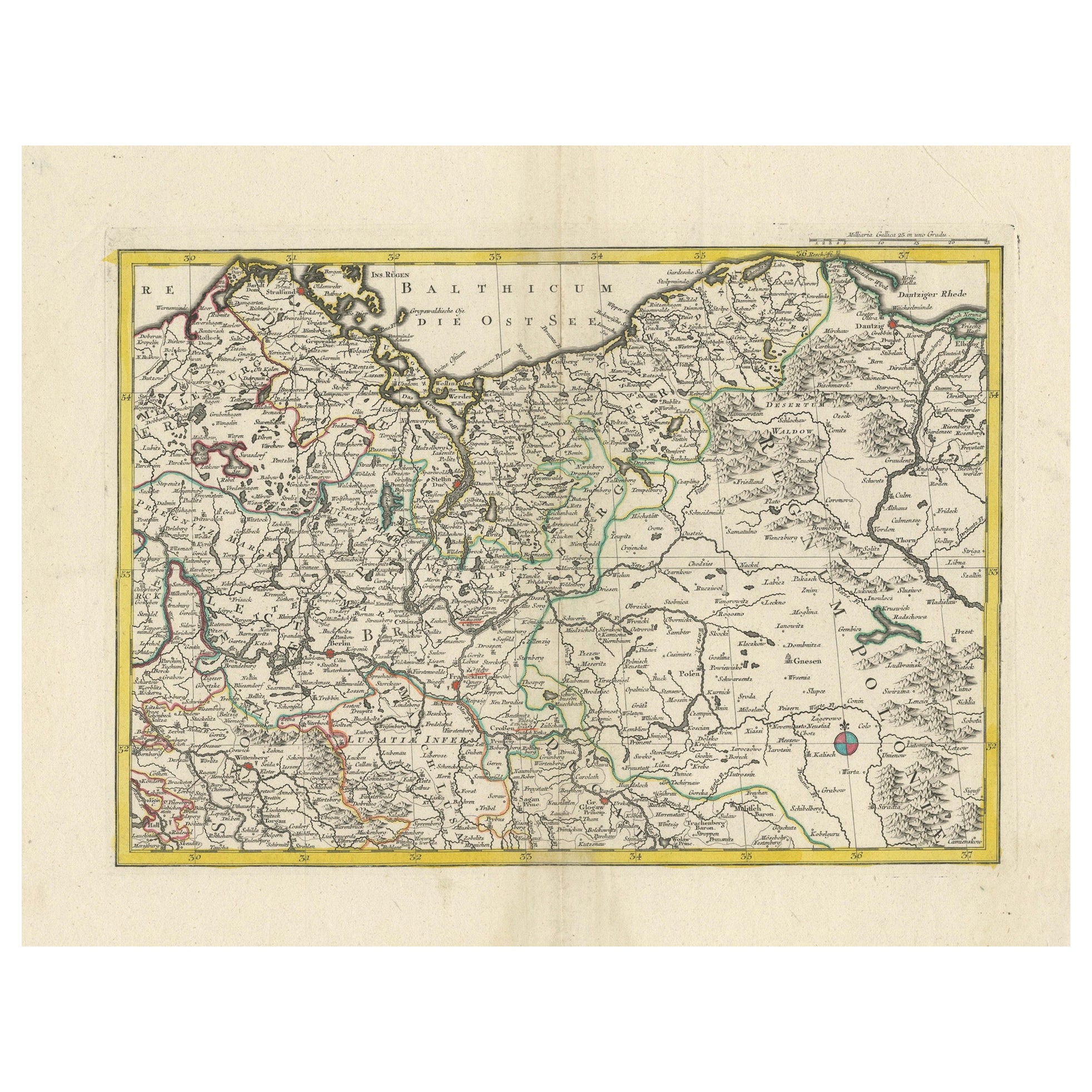
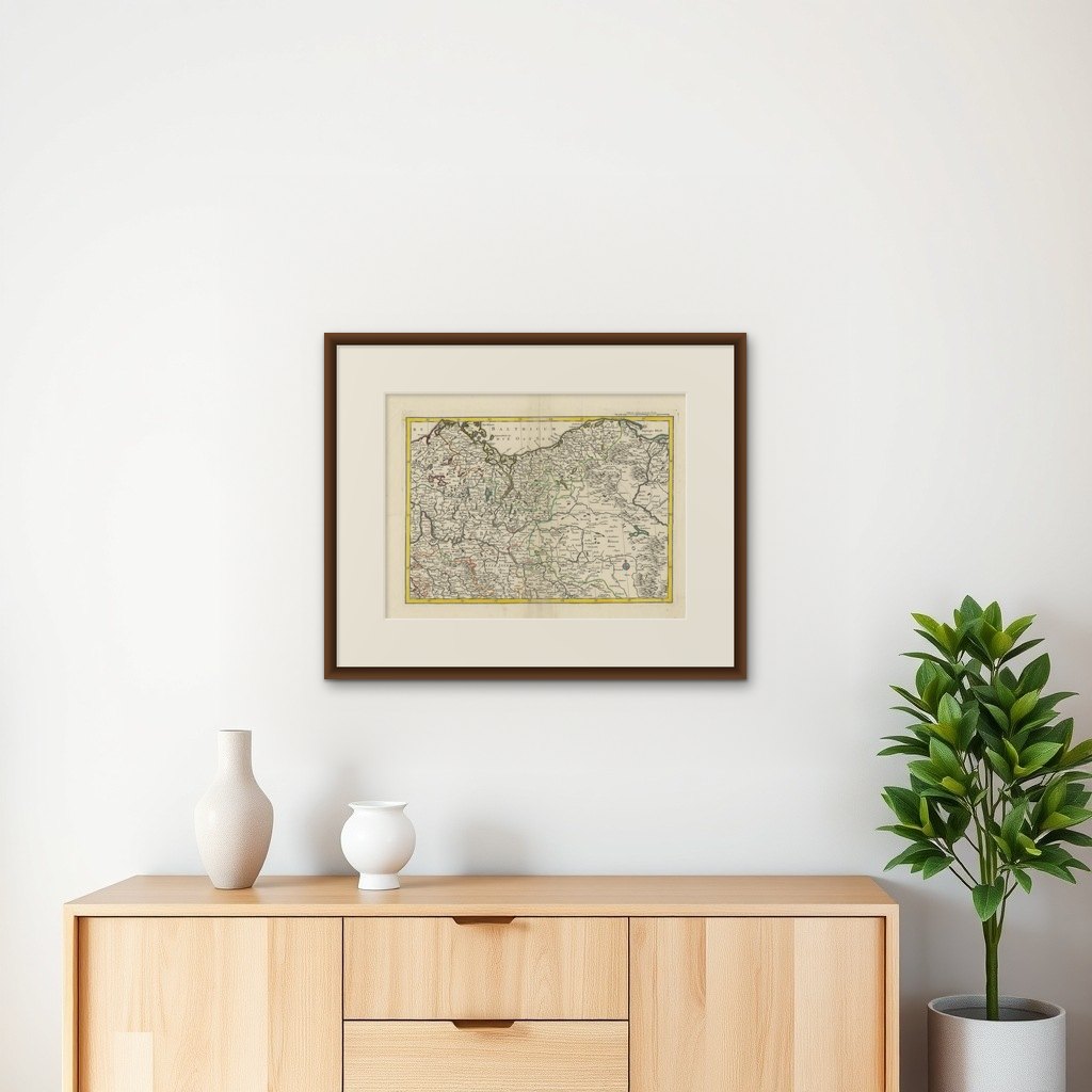
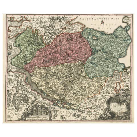
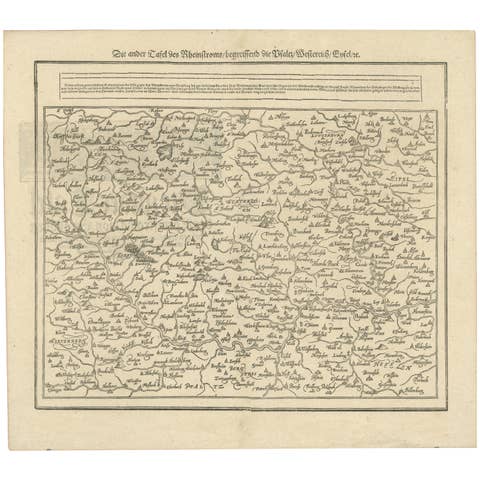
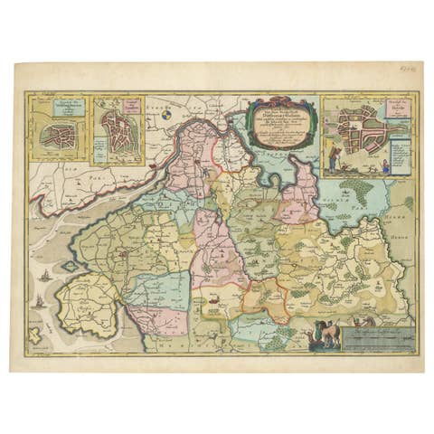
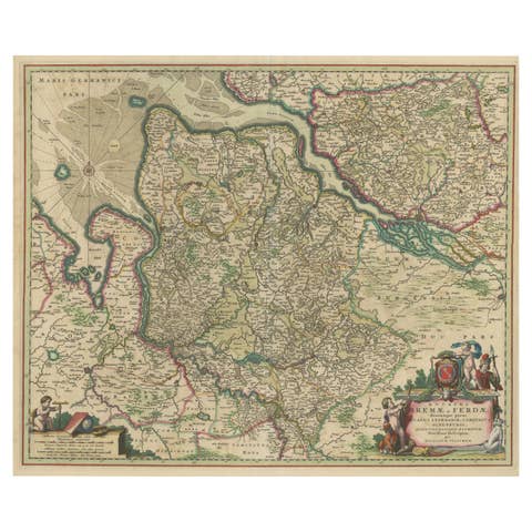
A Detailed Mid-18th Century German Map of North-Central Europe
€ 340
Original antique · The actual sheet photographed · Certificate of authenticity on request · Sold unframed · Worldwide shipping from € 15 (rates)
Sheet size
48 × 62 cm (18.9 × 24.4 in)
Condition
Good
Reference
BG-13672-1
What the condition grades mean
Excellent
Bright and clean, with no faults worth mentioning.
Very good
Only light signs of age, such as faint toning.
Good
Normal signs of age for a sheet of this period: toning, some foxing, small marks or neat old repairs.
Fair
Clear faults such as staining, tears or repairs, priced to match.
Every fault we see is written in the condition note, and the whole sheet is shown uncropped in the photos.
Condition
Very good condition. Some age-related characteristics with slight toning or browning of the paper, occasional foxing (small brownish spots), minor edge wear, and possibly some light creasing. A centerfold as published. Hand-colored.
About this sheet
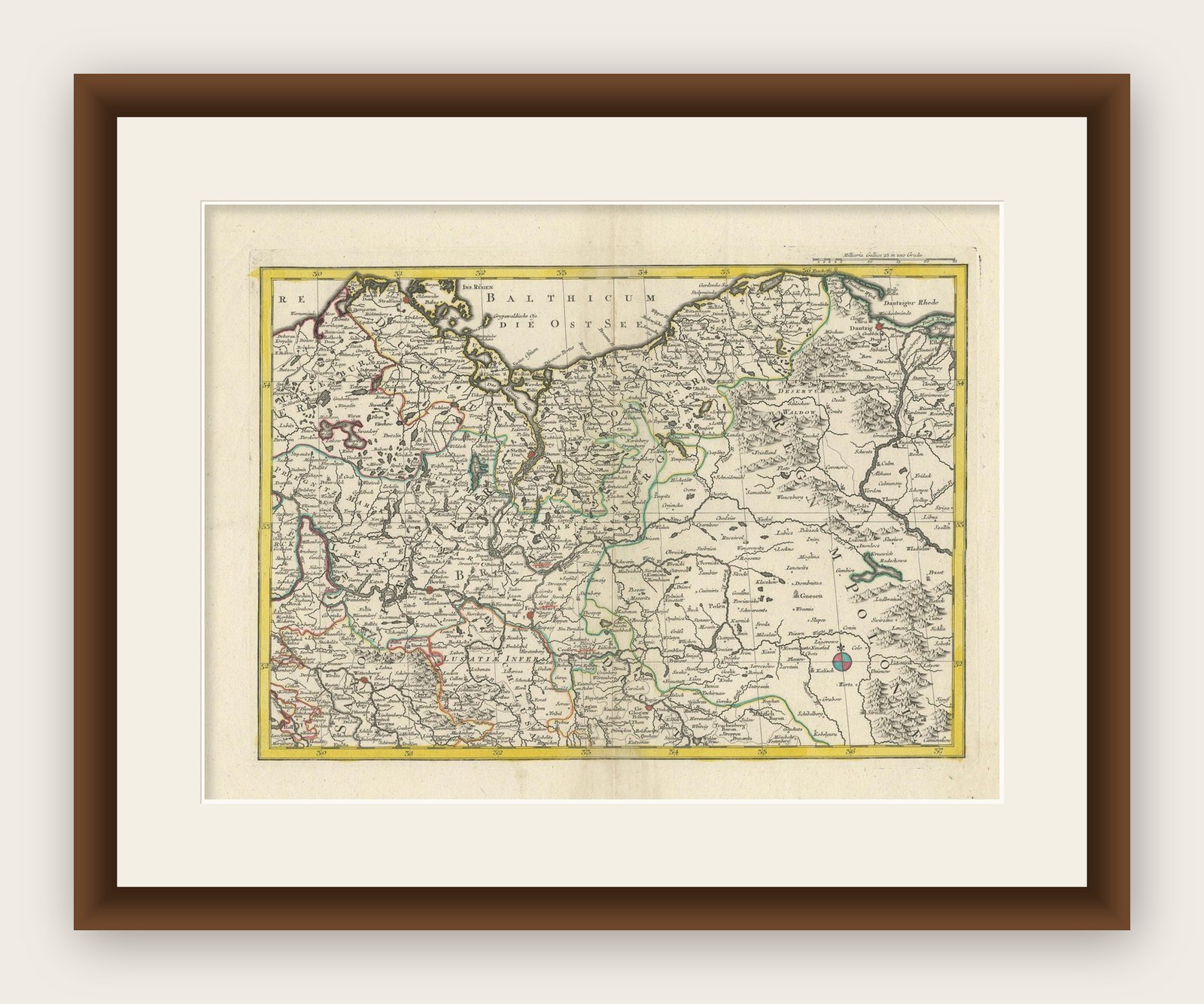
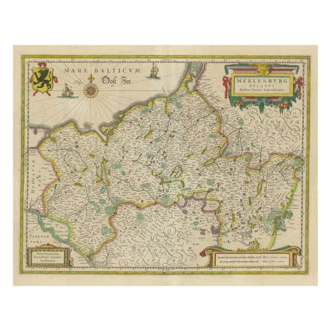
This is an antique, hand-colored engraved map of north-central Europe (centered on the region of Brandenburg, Pomerania, and portions of what is now northern Poland) that was produced by an 18th-century German cartographer/publisher.
Although the image does not show a decorative title cartouche or a fully legible imprint, the style, geographic focus, and engraving characteristics suggest it is the work of one of the major German mapmakers of the early to mid-18th century, most likely Matthäus Seutter or the Homann Heirs.
Key points for identification:
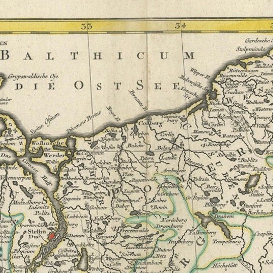
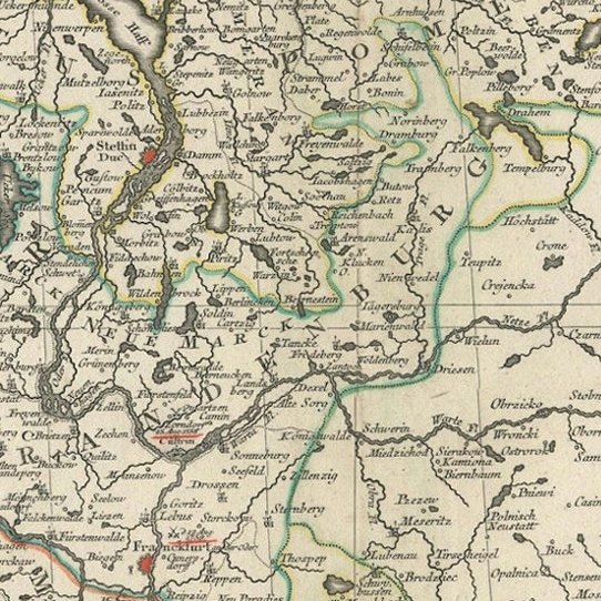
1. Regional focus: The map depicts areas around the southern coast of the Baltic Sea (marked as Mare Balticum or Die Ostsee) and prominent territories of the Holy Roman Empire and the Kingdom of Prussia. Cities like Danzig (Gdańsk), Berlin, Brandenburg, and areas of Pomerania and Prussia are clearly visible. Such a geographic concentration was common among German cartographers in the early 18th century.
2. Stylistic features: The hand-coloring by outline, the fine engraving style, and the mixture of Latin and German toponyms all fit the production characteristics of leading Nuremberg or Augsburg map publishers of that era.
3. Likely cartographer/publisher: Matthäus Seutter (1678–1757), a celebrated German mapmaker based in Augsburg, published numerous maps of Central and Eastern Europe. His works often featured neat borders and careful coloring. Likewise, the Homann Heirs, continuing the legacy of Johann Baptist Homann (1664–1724), also issued similar maps in Nuremberg during the first half of the 18th century.
Approximate date: Considering the style and period, this map likely dates from around 1720–1750, a time when both Seutter's firm and the Homann Heirs were actively publishing regional maps of Central and Eastern Europe.
In conclusion, this map was most likely made by Matthäus Seutter or possibly the Homann Heirs in the early to mid-18th century, roughly between the 1720s and 1740s. More research needed.