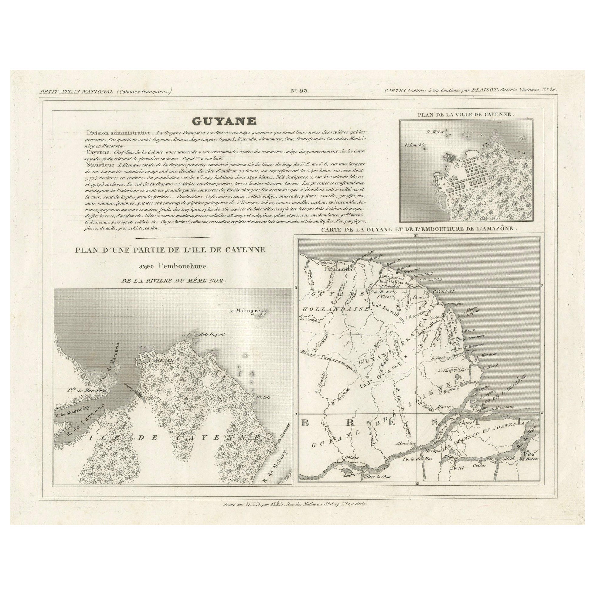
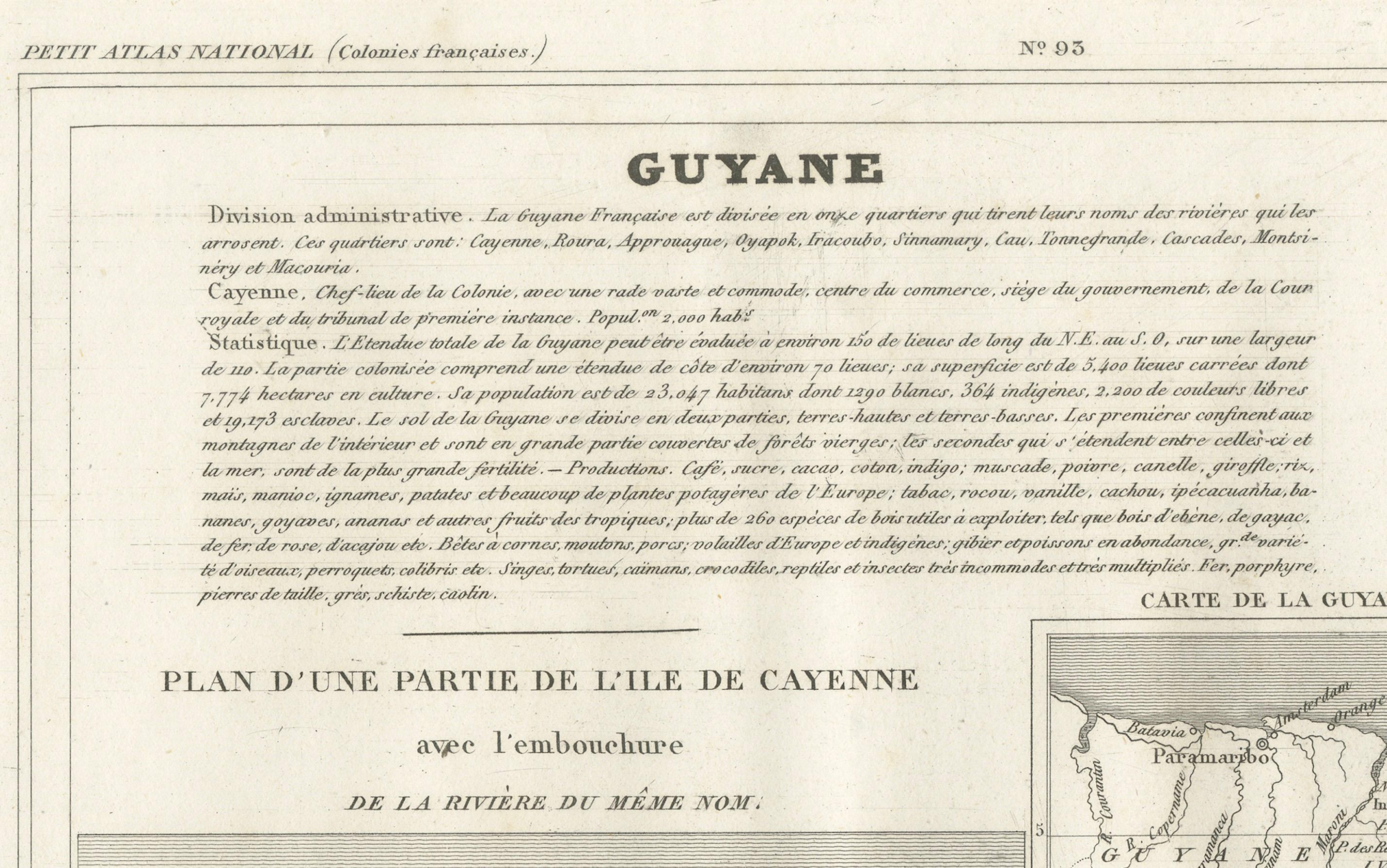
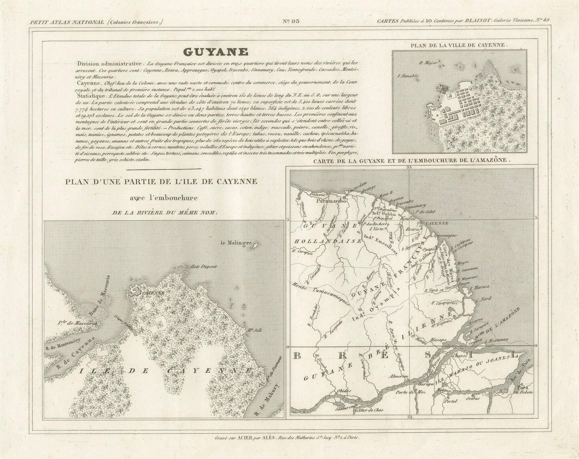
Map of French Guiana, Suriname and Cayenne: Plan from Petit Atlas National, 1820
€ 160
One of a kind: this is the sheet in the photographs. Ships from Langweer, the Netherlands.
Date
1820
Sheet size
24 × 31.5 cm (9.4 × 12.4 in)
Reference
BG-13093-26
Condition
good, given age. Some creasing. General age-related toning and/or occasional minor defects from handling. Please study scan carefully.
About this sheet
This map, titled "Guyane" (French Guiana), is part of the Petit Atlas National series, focusing on French colonies. Here are the key elements of the map and its context:
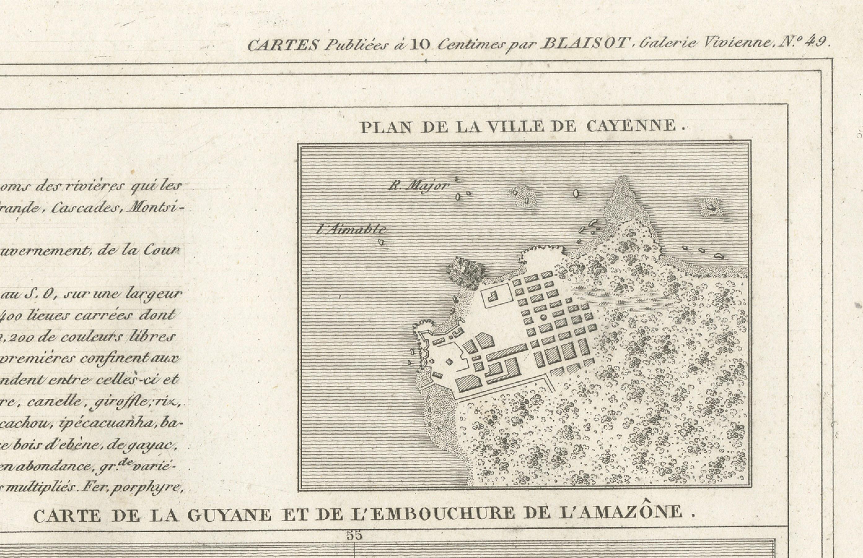
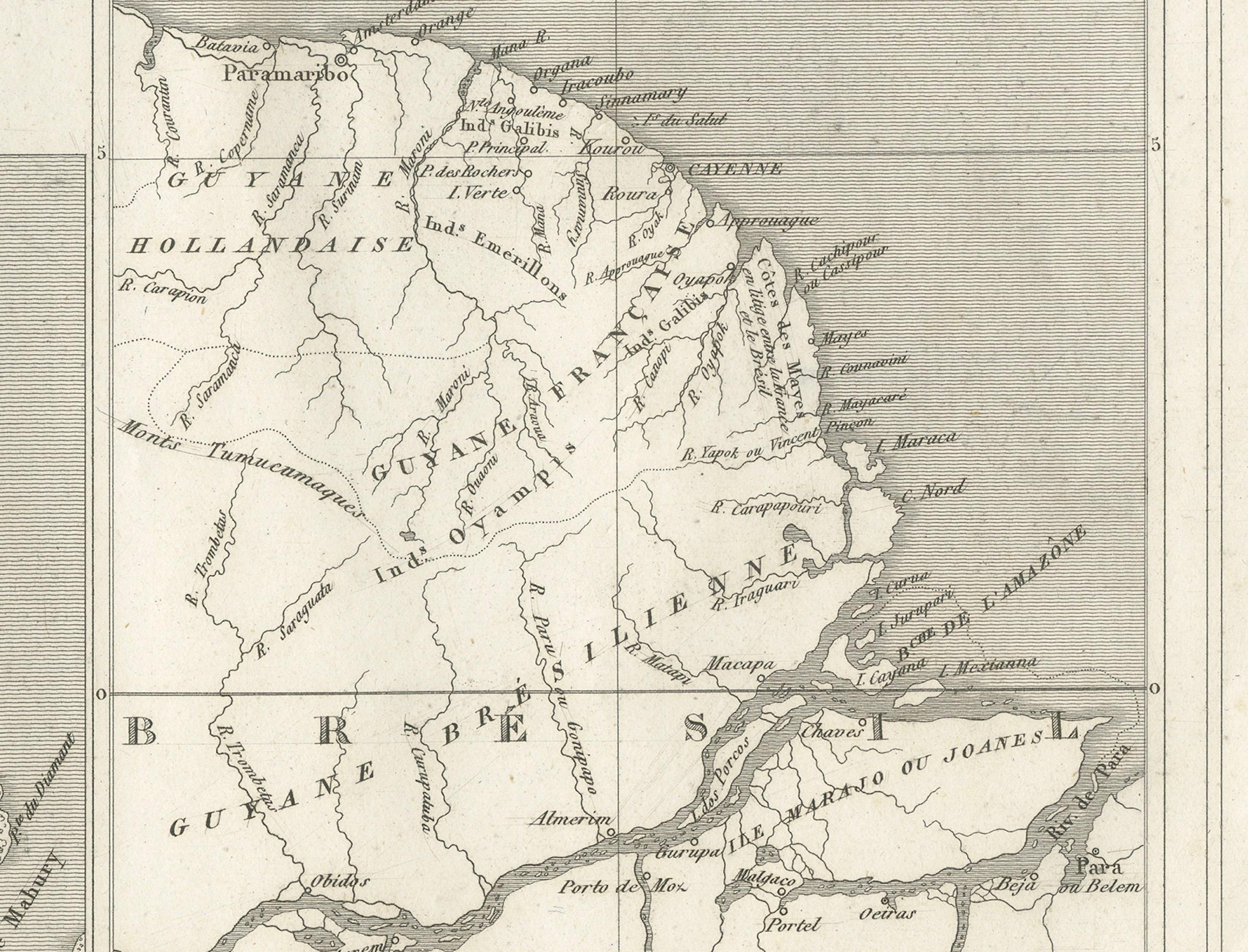
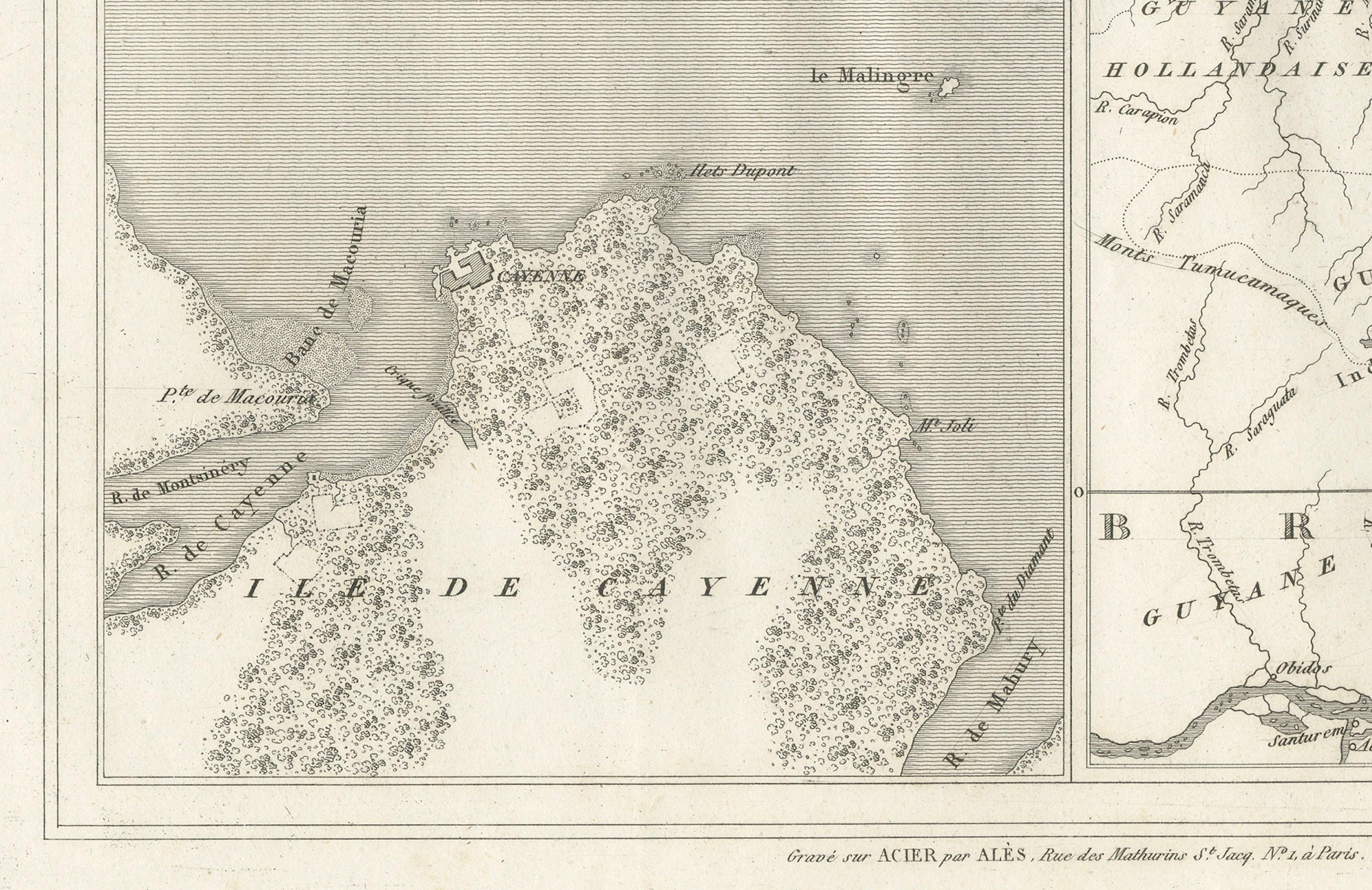
Features: - The central portion includes a "Plan d'une Partie de l'Ile de Cayenne" (Plan of a Part of the Island of Cayenne), which highlights the island’s geography, including rivers, forests, and settlements. - To the upper right is a "Plan de la Ville de Cayenne" (Plan of the City of Cayenne), showing the layout of streets, squares, and key buildings, giving a detailed view of the main city. - In the lower right corner is a "Carte de la Guyane et de l'Embourchure de l'Amazone" (Map of French Guiana and the Mouth of the Amazon River), which covers the broader region, including parts of Brazil and Dutch Guiana (now Suriname).
Administrative and Geographical Details:
- The map highlights the administrative divisions within French Guiana, listing various districts such as Cayenne, Kourou, Sinnamary, and Approuague. - The detailed geography includes rivers, settlements, and the island’s coastline, indicating how closely the region is tied to the sea and its waterways. - Text in the upper portion provides context on the administrative structure, trade importance, and the population of French Guiana, which was a key French colony during this period.
Artistic and Cartographic Details:
- The map is finely engraved with intricate detailing of both the city of Cayenne and the surrounding geographical features. - This map likely dates from the early to mid-19th century, reflecting French colonial interests in South America during this time.