About this sheet
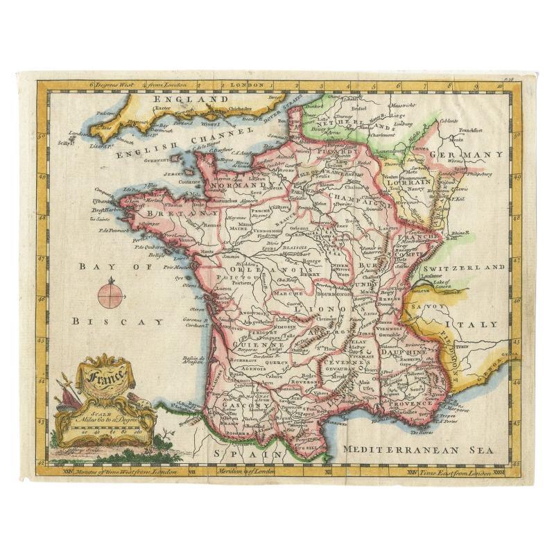
Antique map titled 'France'. Engraved map of France with a small, decorative title cartouche and distance scale. Originates from 'A New Geographical and Historical Grammar (..)', by Thomas Salmon, published in London, c.1756.
Artists and Engravers: Thomas Jefferys (c.1719 - 1771), ""Geographer to King George III"", was an English cartographer who was the leading map supplier of his day. He engraved and printed maps for government and other official bodies and produced a wide range of commercial maps and atlases, especially of North America.
Condition: Very good. Folds as issued. Tape on top of verso. Please study image carefully.
Date: c.1756
Overall size: 24 x 19 cm.
Image size: 22.5 x 18 cm.