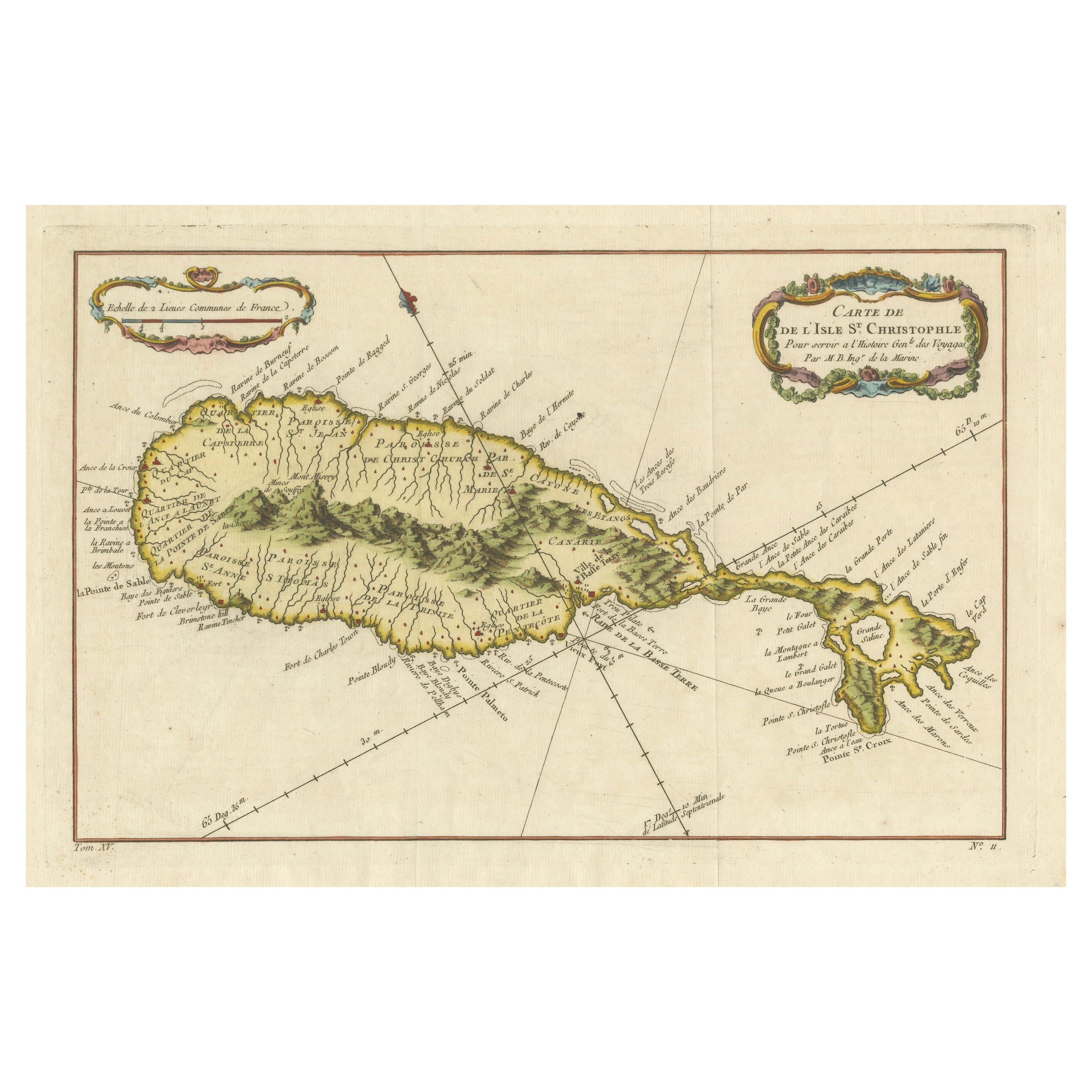
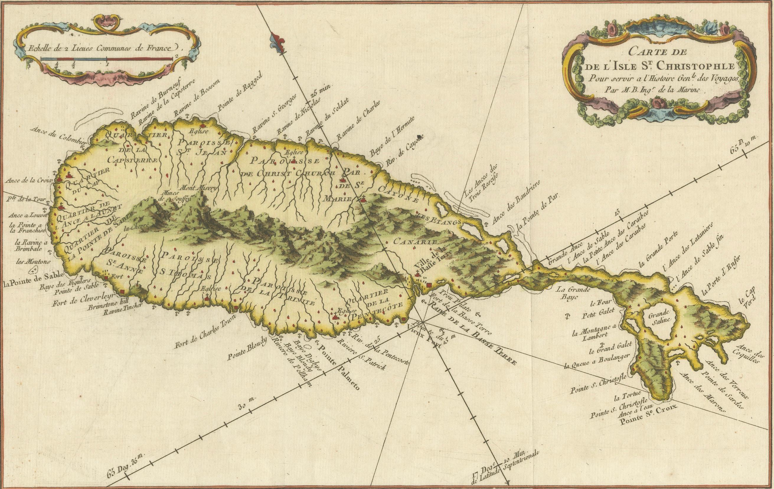
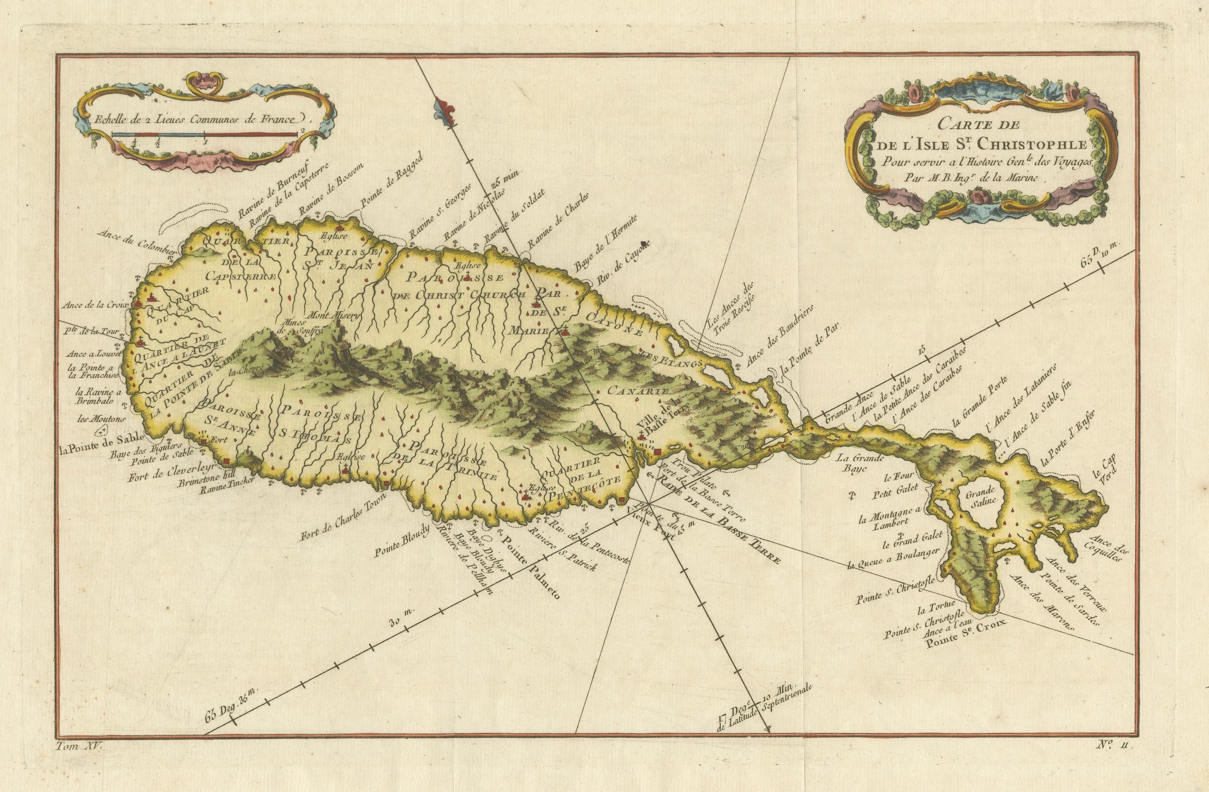
1758 Map of Saint Kitts – St. Christophe, Antique French Engraving
€ 430
One of a kind: this is the sheet in the photographs. Ships from Langweer, the Netherlands.
Date
1758
Sheet size
25.5 × 38 cm (10.0 × 15.0 in)
Condition
Good
Reference
BG-13618-13
Condition
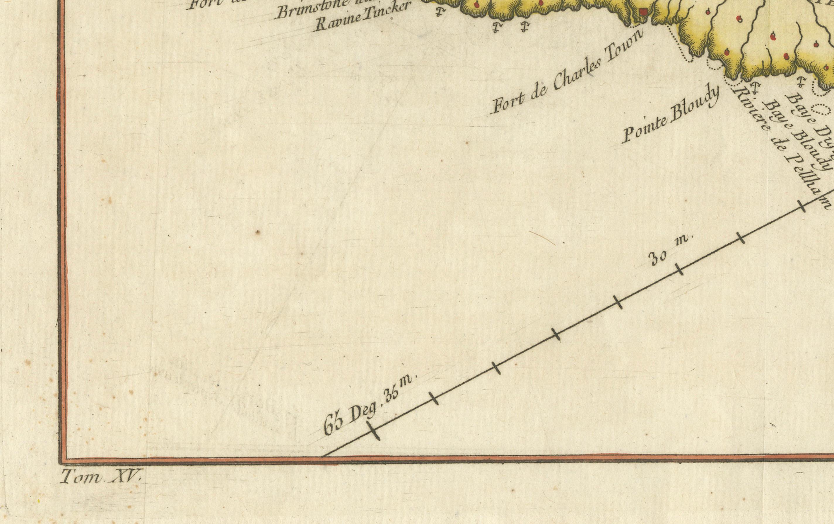
Very good condition with wide margins, original hand colouring, strong impression, and minimal foxing or age toning. Plate mark visible. Slight waviness to paper edges consistent with 18th-century storage.
About this sheet
Map of Saint Kitts (St. Christophe), circa 1758
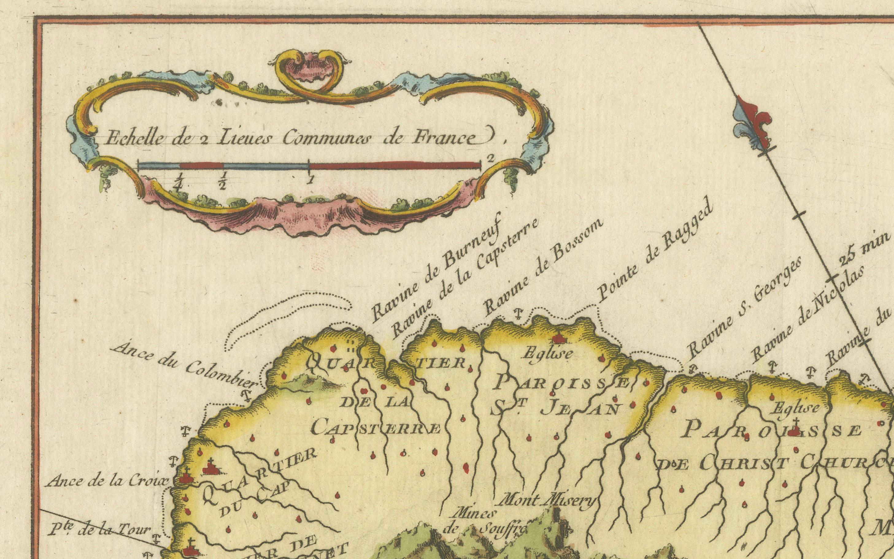
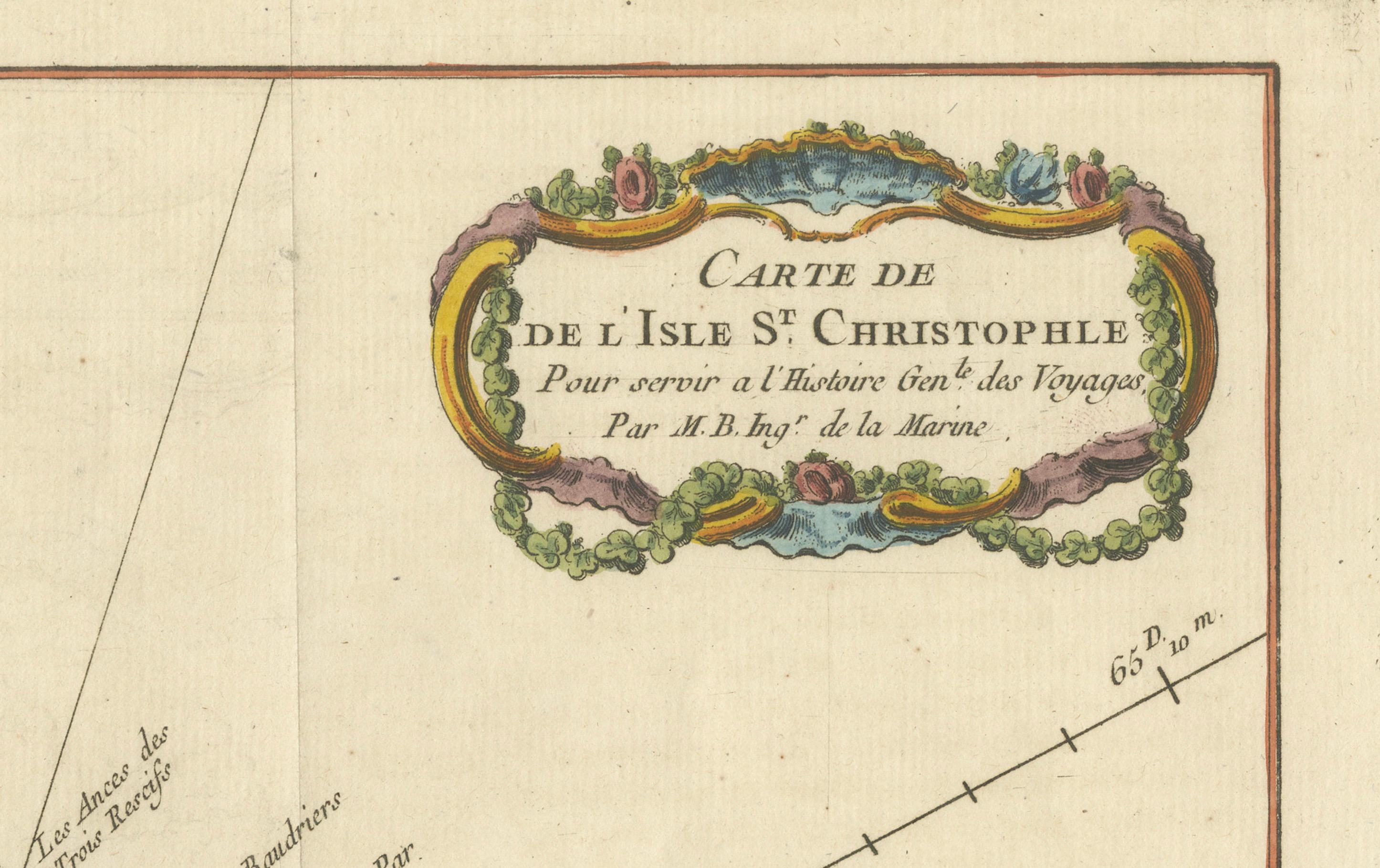
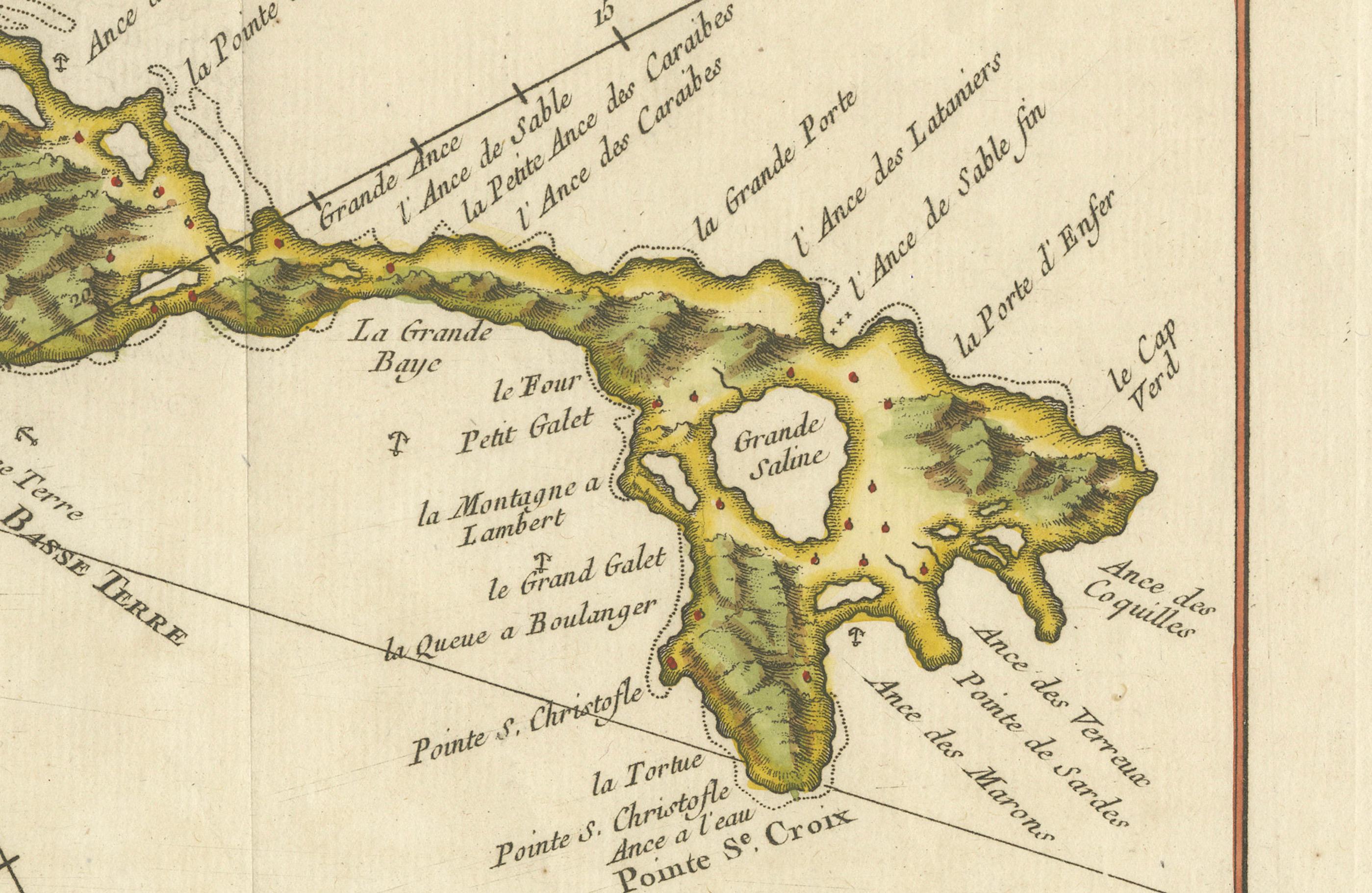
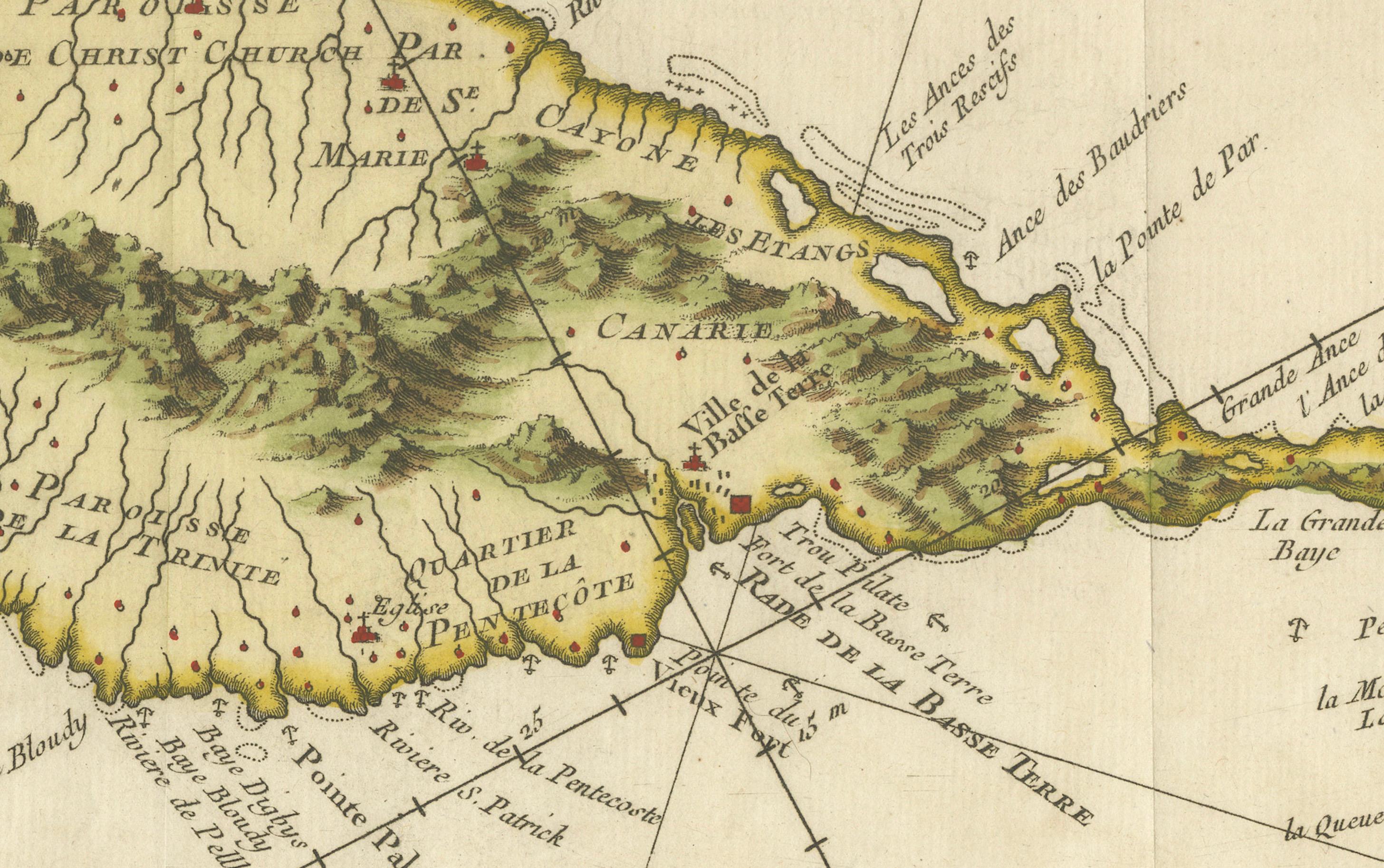
This is an antique French map titled *Carte de l'Isle St. Christophe*, engraved by Jacques-Nicolas Bellin and published around 1758 for *L’Histoire Générale des Voyages*. It depicts the Caribbean island of **Saint Kitts (Saint Christopher)** in fine early colonial detail.
Features:
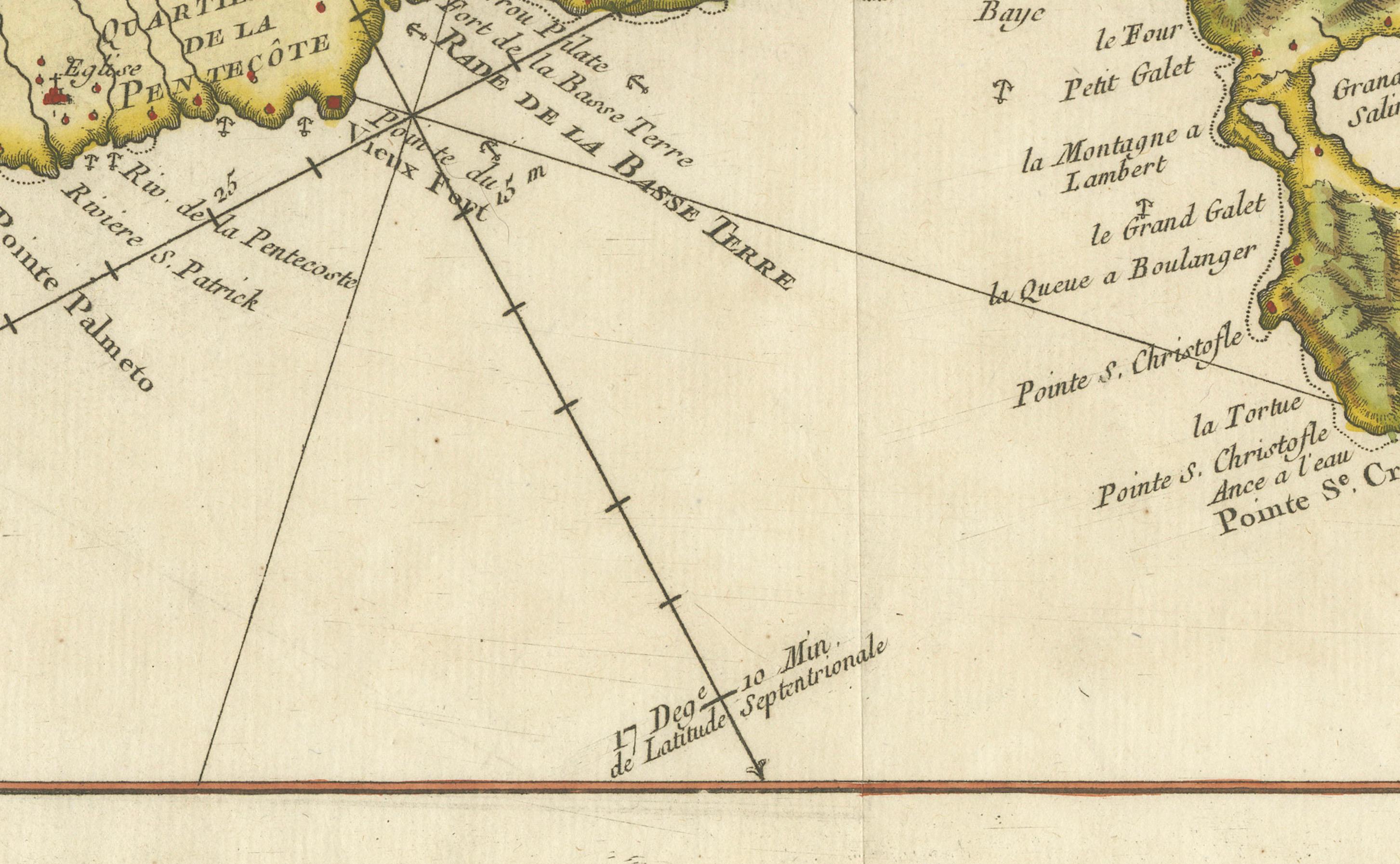
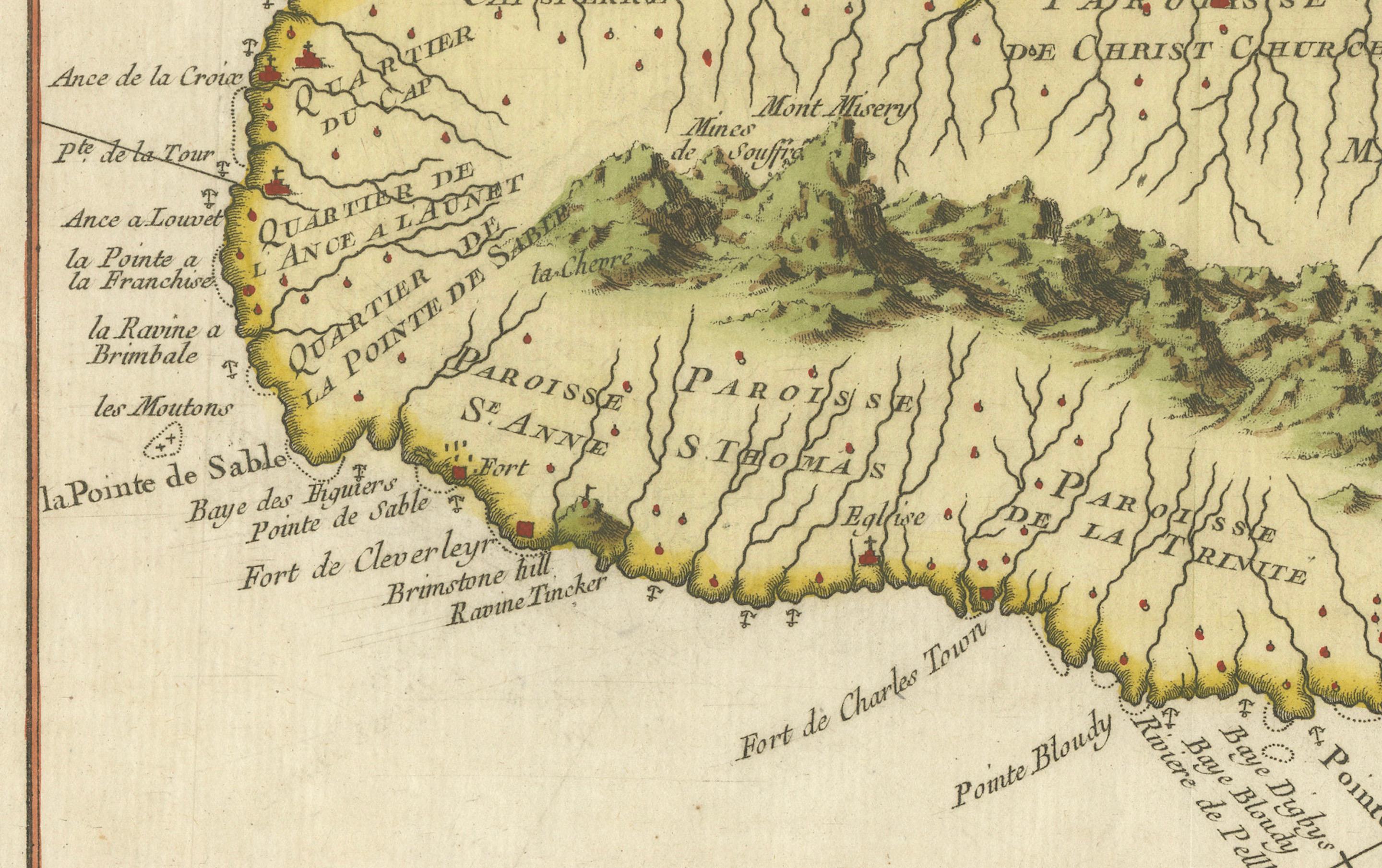
* Coastlines with bays, anchorages, capes, and offshore soundings. * Divided into **parishes** such as St. Peter, Christ Church, St. John, St. Mary, and St. Anne. * Topographical relief with stylised mountains and settlements marked throughout. * Decorative title cartouche upper right and scale of “lieues communes de France” cartouche top left. * Compass roses and rhumb lines radiating from the anchor points, typical of 18th-century maritime cartography.
Engraver: J.N. Bellin, Ingénieur Hydrographe de la Marine Date: circa 1758 Published in: *Histoire Générale des Voyages*, Paris
Condition: Very good condition with wide margins, original hand colouring, strong impression, and minimal foxing or age toning. Plate mark visible. Slight waviness to paper edges consistent with 18th-century storage.
Framing suggestions: Frame with a dark wood or black frame floated on cream archival mat to emphasise the delicate French cartouche style and nautical detail. Excellent for colonial Caribbean collections, maritime history rooms, or elegant study walls.
Keywords: Saint Kitts antique map, St. Christophe Bellin map, Caribbean island maps, 18th century French engravings, nautical chart Saint Christopher, Histoire Générale des Voyages maps, colonial Caribbean cartography