Maps & PrintsBartele Gallery · Langweer
Home / Antique Maps / Europe / Western Europe / France

France · 18th century

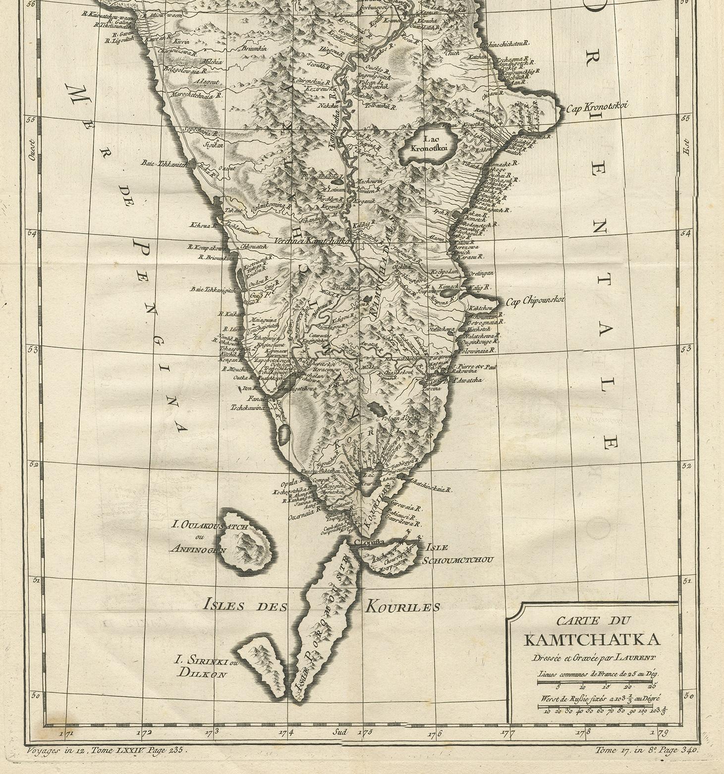
Antique 1757 Map of Kamchatka by Jacques-Nicolas Bellin, France

€ 280

One of a kind: this is the sheet in the photographs. Ships from Langweer, the Netherlands.

Date
1757
Mapmaker / artist
Jacques-Nicolas Bellin (Artist)
Sheet size
55 × 33.5 cm (21.7 × 13.2 in)
Condition
Good
Reference
BGJC-0075

Condition

Few light stains, please study images carefully.
About this sheet

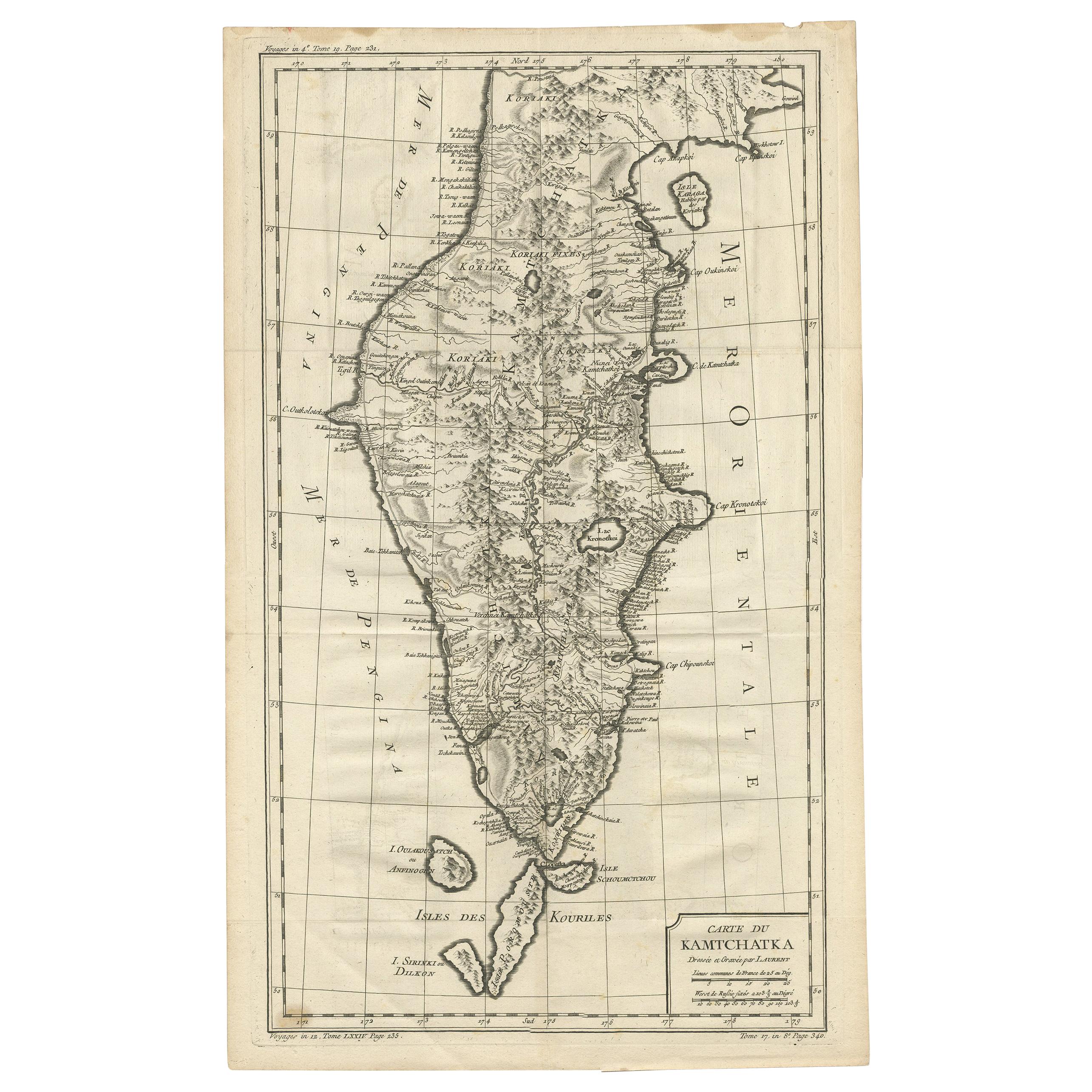
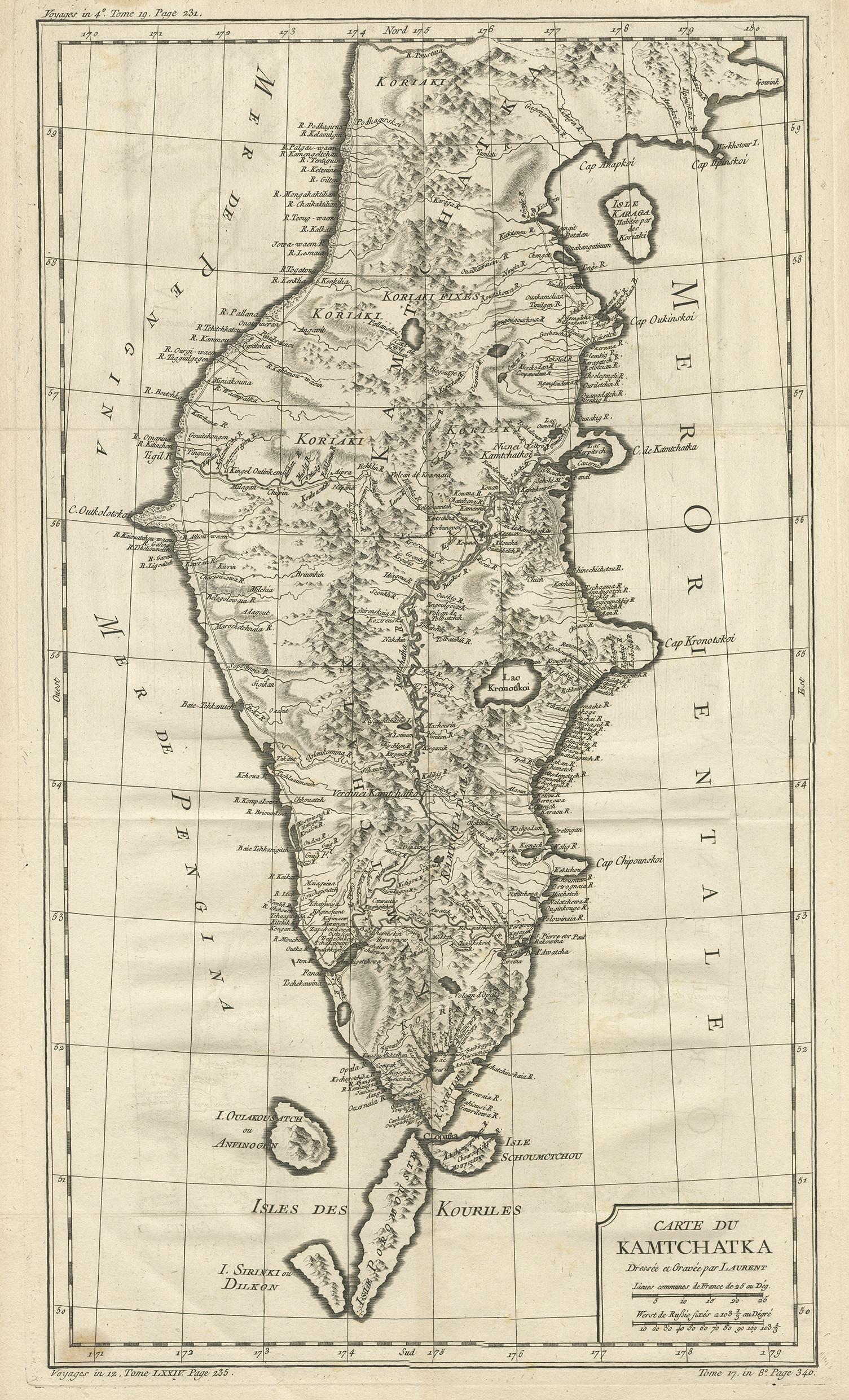
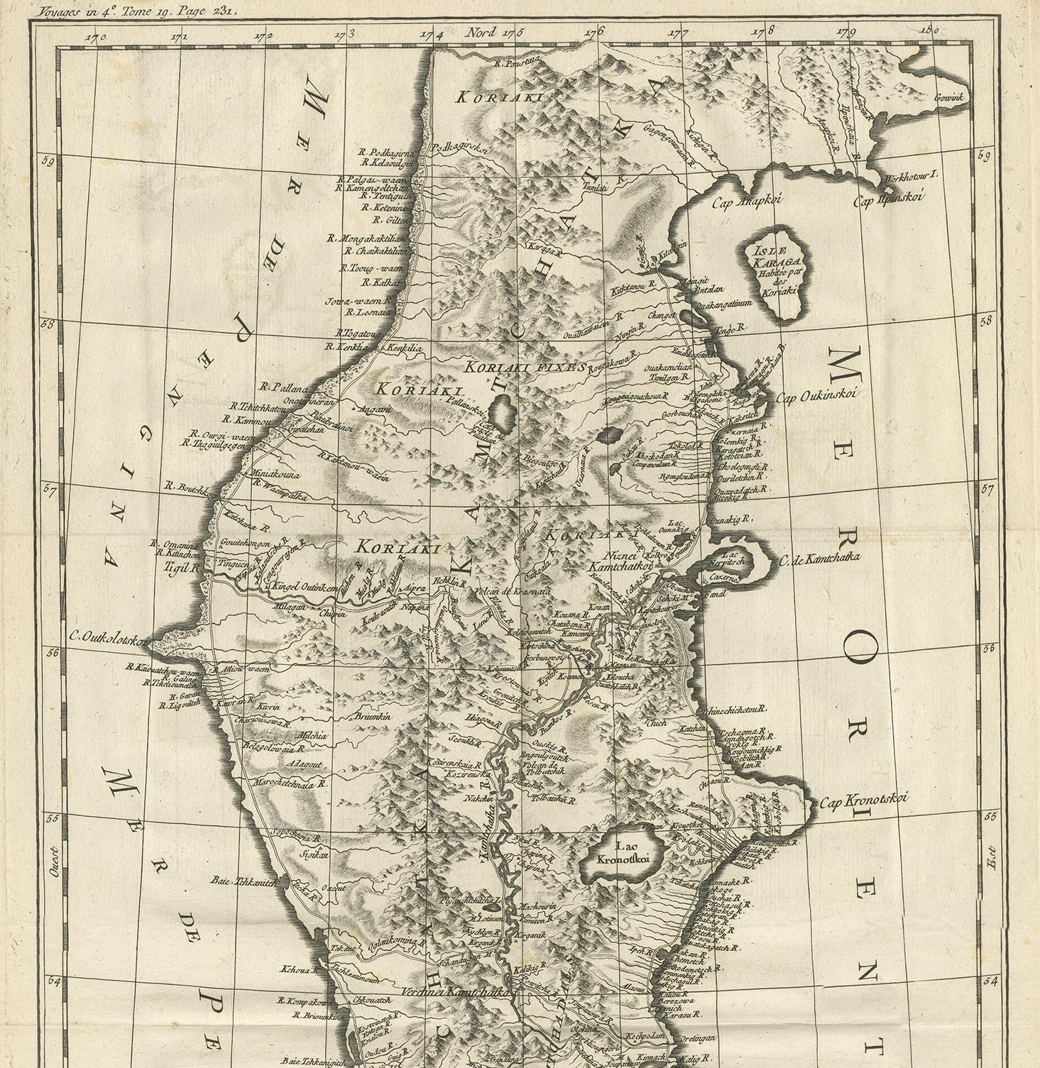
Antique map titled 'Carte du Kamtchatka'. Antique map of the Kamchatka Peninsula. The map includes the island of Ouiakous Atch ou Anfinogen, Schoumctchou, and Sirinki ou Dilkon. Originates from Prévost's 'Histoire Générale des Voyages'. Engraved by J. Laurent. Published by J.N. Bellin.

More from France

Ask about this sheet

Antique 1757 Map of Kamchatka by Jacques-Nicolas Bellin, France
1757 · Ref. BGJC-0075 · € 280
We reply by email, usually within one working day.