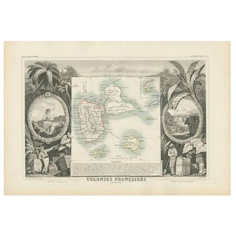
Original Steel Engraved Map of French Colonies in America, 1854
€ 320
Original antique · The actual sheet photographed · Certificate of authenticity on request · Sold unframed · Worldwide shipping from € 15 (rates)
Date
1854
Sheet size
33.3 × 47.5 cm (13.1 × 18.7 in)
Condition
Good
Reference
BG-13528-2
What the condition grades mean
Excellent
Bright and clean, with no faults worth mentioning.
Very good
Only light signs of age, such as faint toning.
Good
Normal signs of age for a sheet of this period: toning, some foxing, small marks or neat old repairs.
Fair
Clear faults such as staining, tears or repairs, priced to match.
Every fault we see is written in the condition note, and the whole sheet is shown uncropped in the photos.
Condition
General age-related toning. Minor wear and soiling, light pencil notation below title. Blank verso. Please review the images for further condition details.
About this sheet
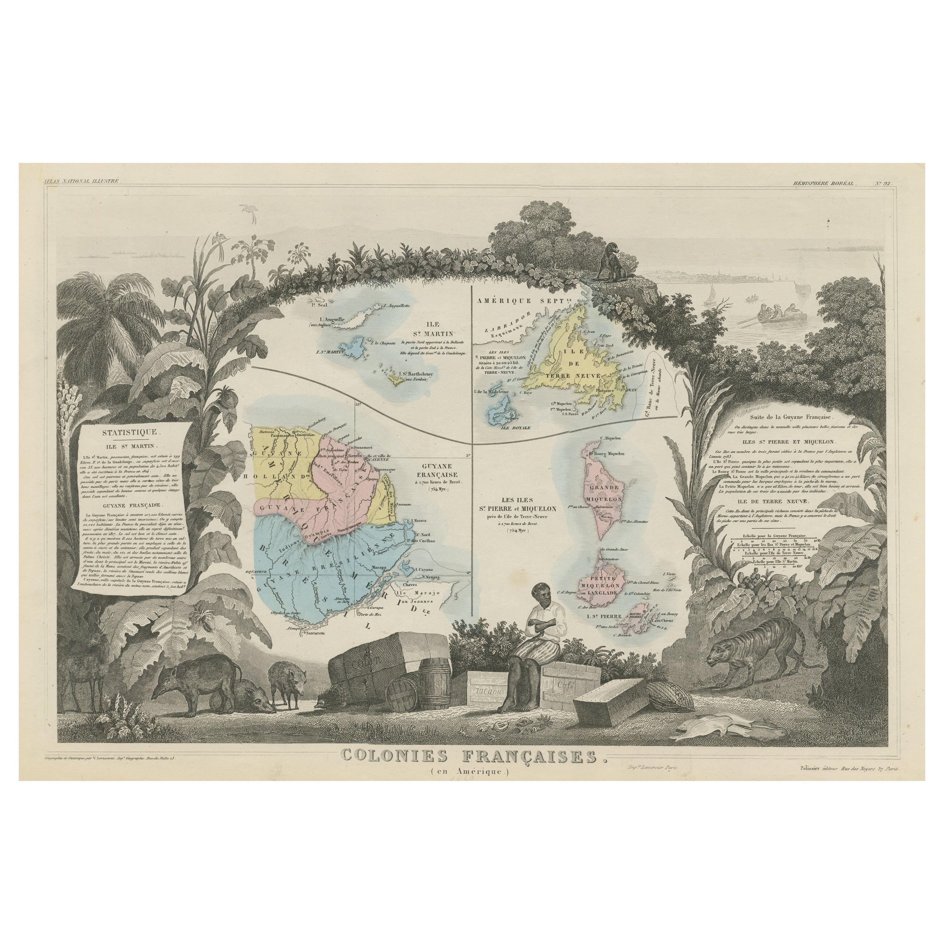
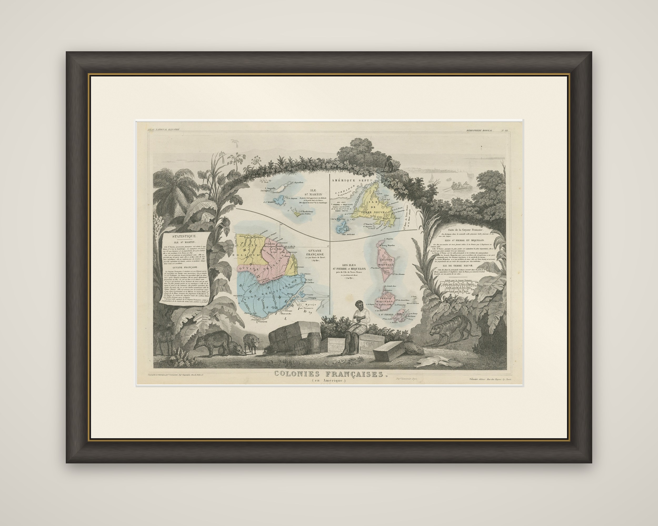
French colonies in America, an original steel-engraved map titled "Colonies Françaises (en Amérique)", from Atlas national illustré, published by A. Combette in Paris in 1854. The title is engraved at the foot of the sheet.
Four colonies are mapped inside a decorative frame of tropical leaves: the island of St. Martin, the French part of Newfoundland labeled "Ile de Terre Neuve", French Guiana ("Guyane Française") and the islands of St. Pierre and Miquelon. The maps are colored in outline in pink, yellow, blue and green, and the French Guiana map shows its rivers and the Atlantic coast. Two printed statistical tables, headed "Statistique", run down the sides of the sheet and give population and trade for each colony.
Vignettes fill the margins: a seated man at the foot beside packing cases and barrels, wild pigs at the lower left, a spotted big cat at the right, a canoe on the water at the top and palm trees along the left edge, all drawn to represent the products and wildlife of the colonies. Atlas national illustré was the French atlas of departments and colonies, with decorated maps of this kind.