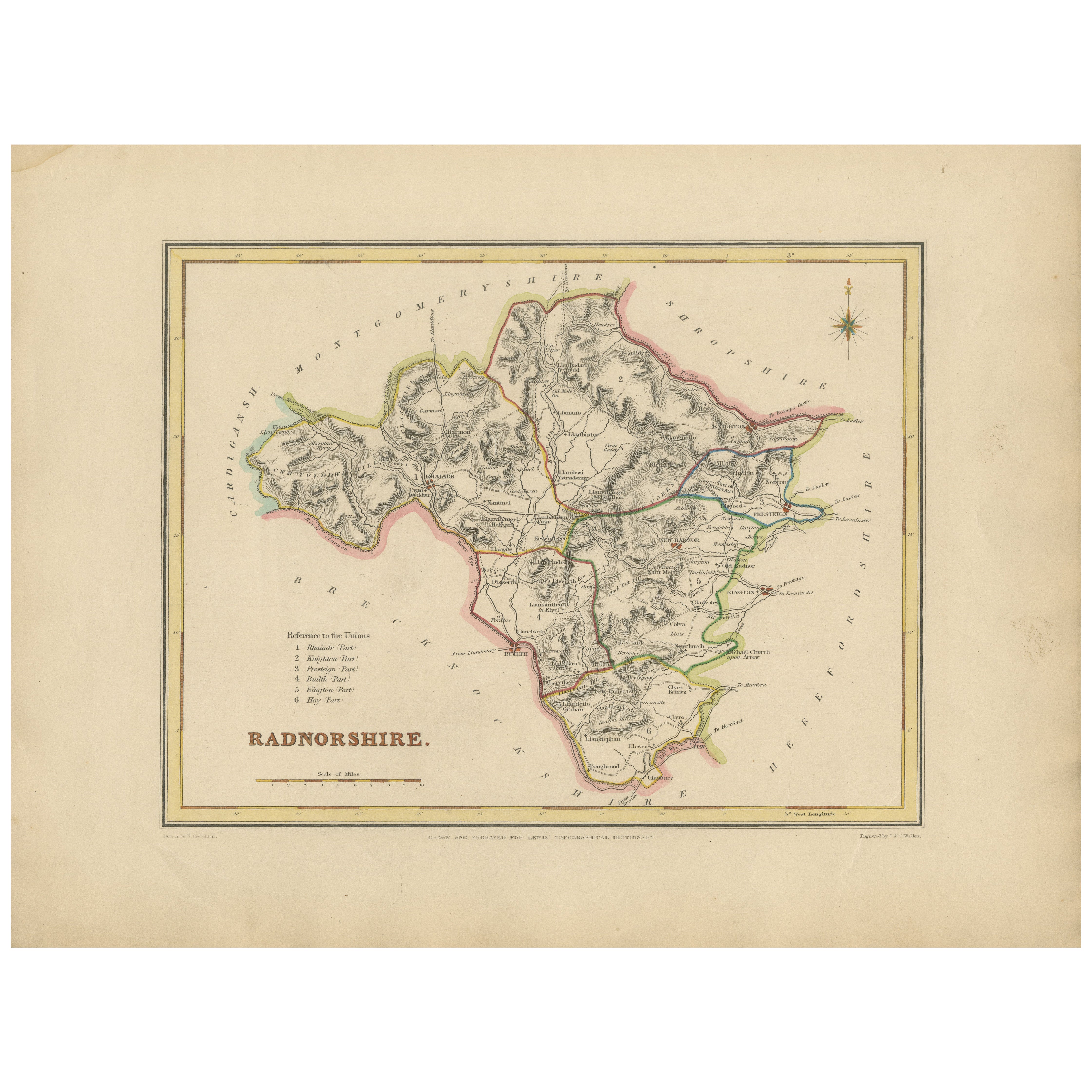
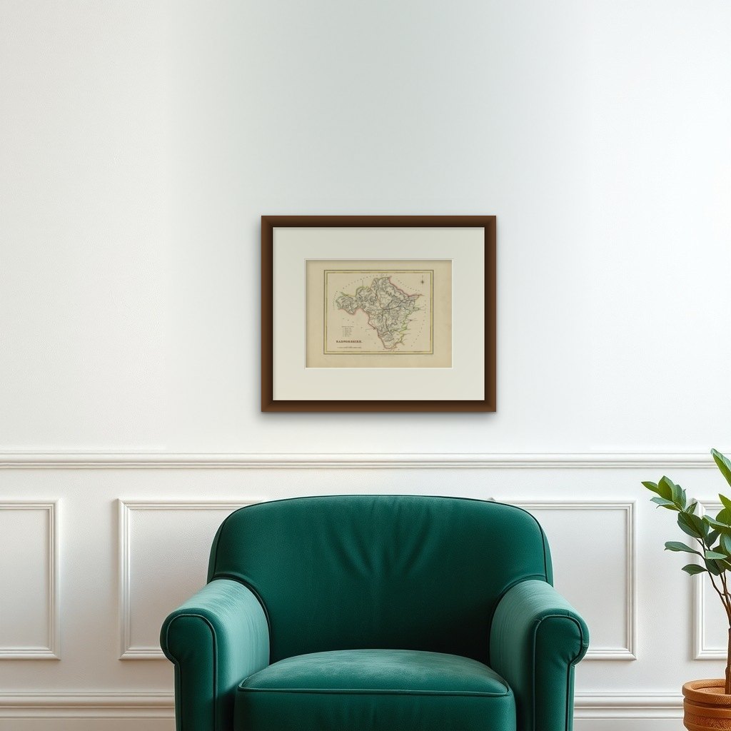
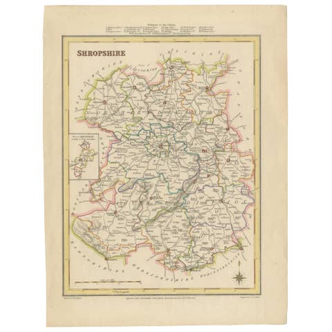
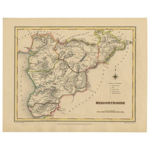
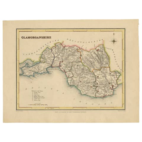
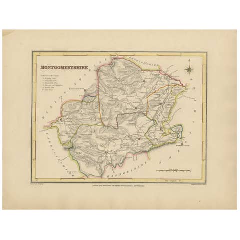
Old Map of Radnorshire 1844 – Presteigne Rhayader Knighton Llandrindod Wells
€ 240
Original antique · The actual sheet photographed · Certificate of authenticity on request · Sold unframed · Worldwide shipping from € 15 (rates)
Date
1844
Sheet size
24.5 × 32 cm (9.6 × 12.6 in)
Condition
Good
Reference
BG-02723
What the condition grades mean
Excellent
Bright and clean, with no faults worth mentioning.
Very good
Only light signs of age, such as faint toning.
Good
Normal signs of age for a sheet of this period: toning, some foxing, small marks or neat old repairs.
Fair
Clear faults such as staining, tears or repairs, priced to match.
Every fault we see is written in the condition note, and the whole sheet is shown uncropped in the photos.
Condition
The map is in good condition with light toning and wide margins. The engraved lines remain crisp and the hand coloring is clear and unfaded. No tears or stains are present, with only minor age-related marks on the edges.
About this sheet
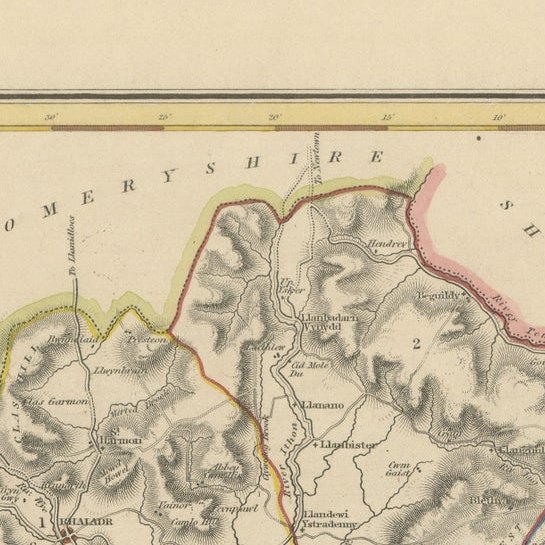
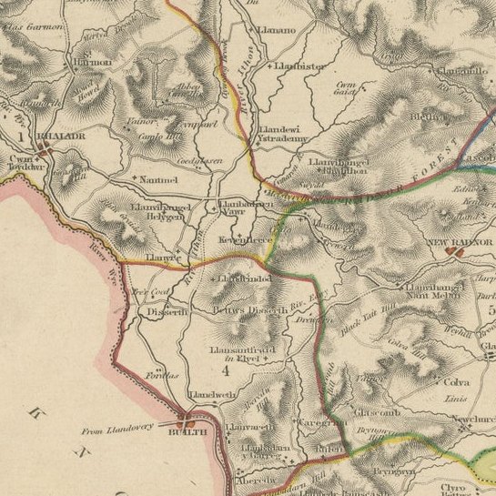
Old Map of Radnorshire by Samuel Lewis 1844 – Presteigne Rhayader Knighton Llandrindod Wells This original 1844 map of Radnorshire was engraved for Samuel Lewis’ Topographical Dictionary of Wales. It features key locations such as Presteigne, Rhayader, Knighton, Llandrindod Wells, and New Radnor. Hand-colored borders outline the county’s administrative divisions, and the map includes topographical shading, roads, rivers, and a decorative compass rose. A union reference key is clearly listed in the lower left.
The map is in good condition with light toning and wide margins. The engraved lines remain crisp and the hand coloring is clear and unfaded. No tears or stains are present, with only minor age-related marks on the edges.
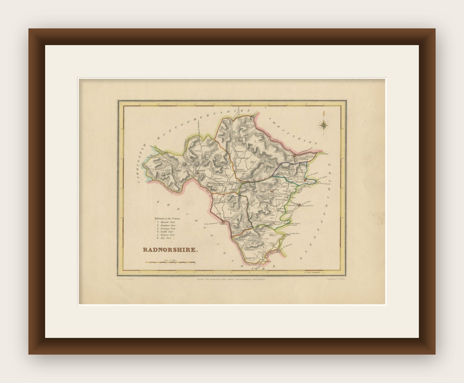
Framing suggestions: Pair with an acid-free mat in cream or soft beige to match the aged tone of the paper. A dark wood or antique gold frame will enhance the historical feel. UV-protective glass is recommended. This piece is ideal for framing in a study, office, or heritage-themed space.