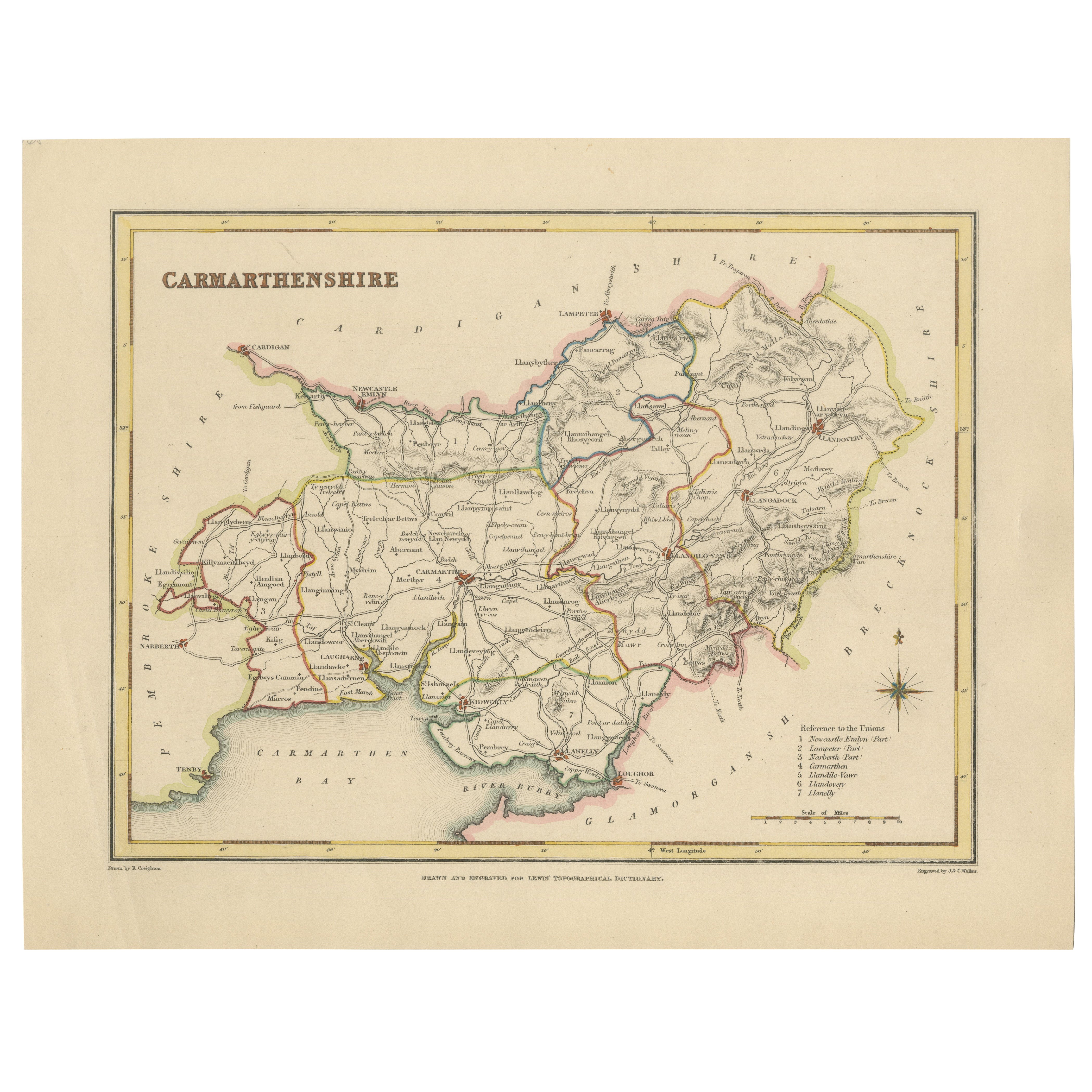
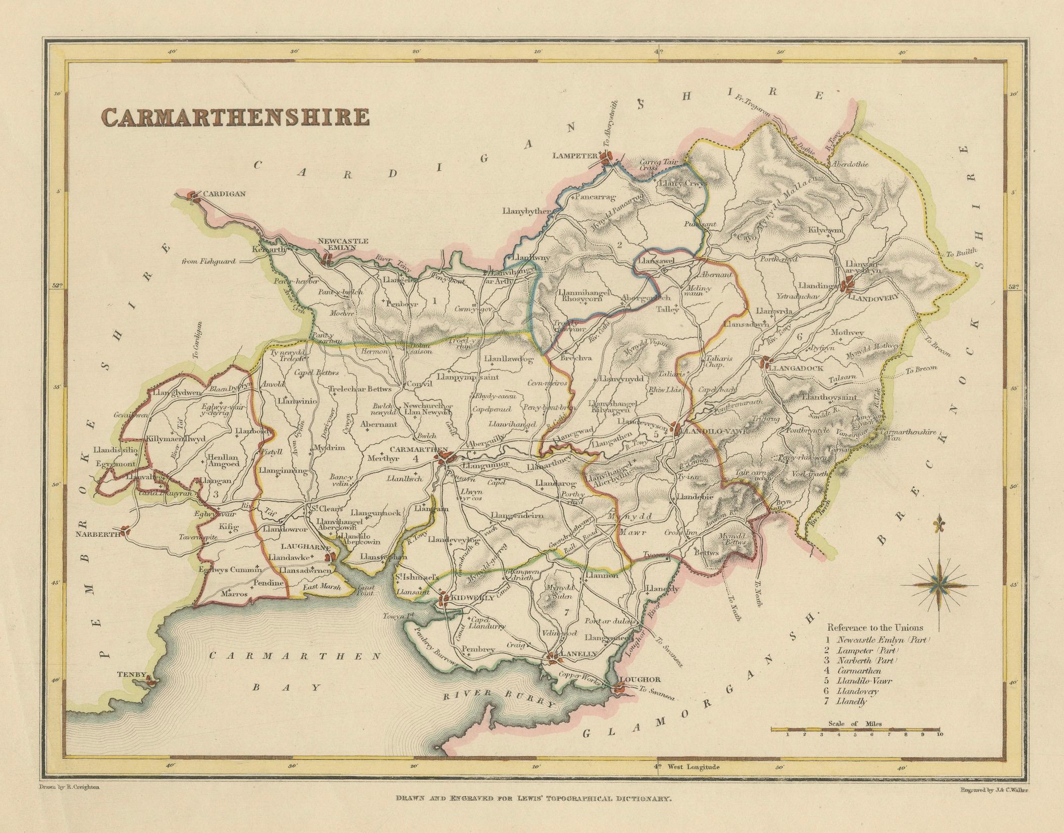
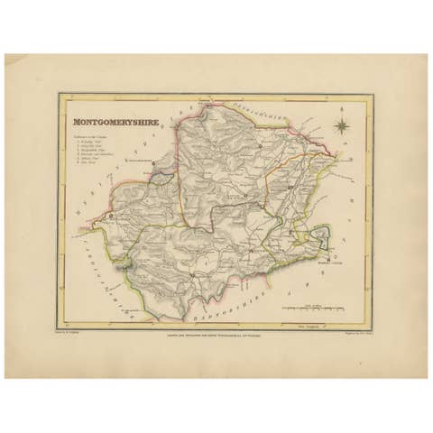
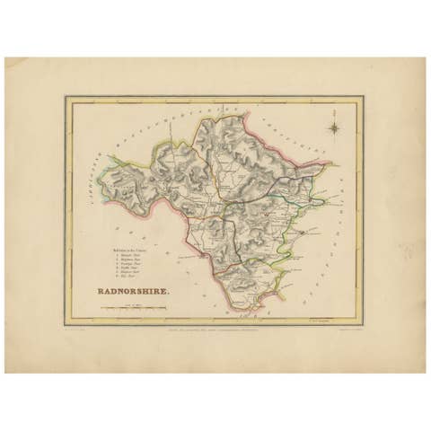
Map of Carmarthenshire 1844 – Carmarthen Llandeilo Llanelli Laugharne Llandovery
€ 240
One of a kind: this is the sheet in the photographs. Ships from Langweer, the Netherlands.
Date
1844
Sheet size
22.2 × 28.5 cm (8.7 × 11.2 in)
Condition
Good
Reference
BG-02729
Condition
The map is in very good antique condition with minimal age toning and wide clean margins. The engraving is crisp and the hand coloring remains bright and accurate. There are no tears or major defects.
About this sheet
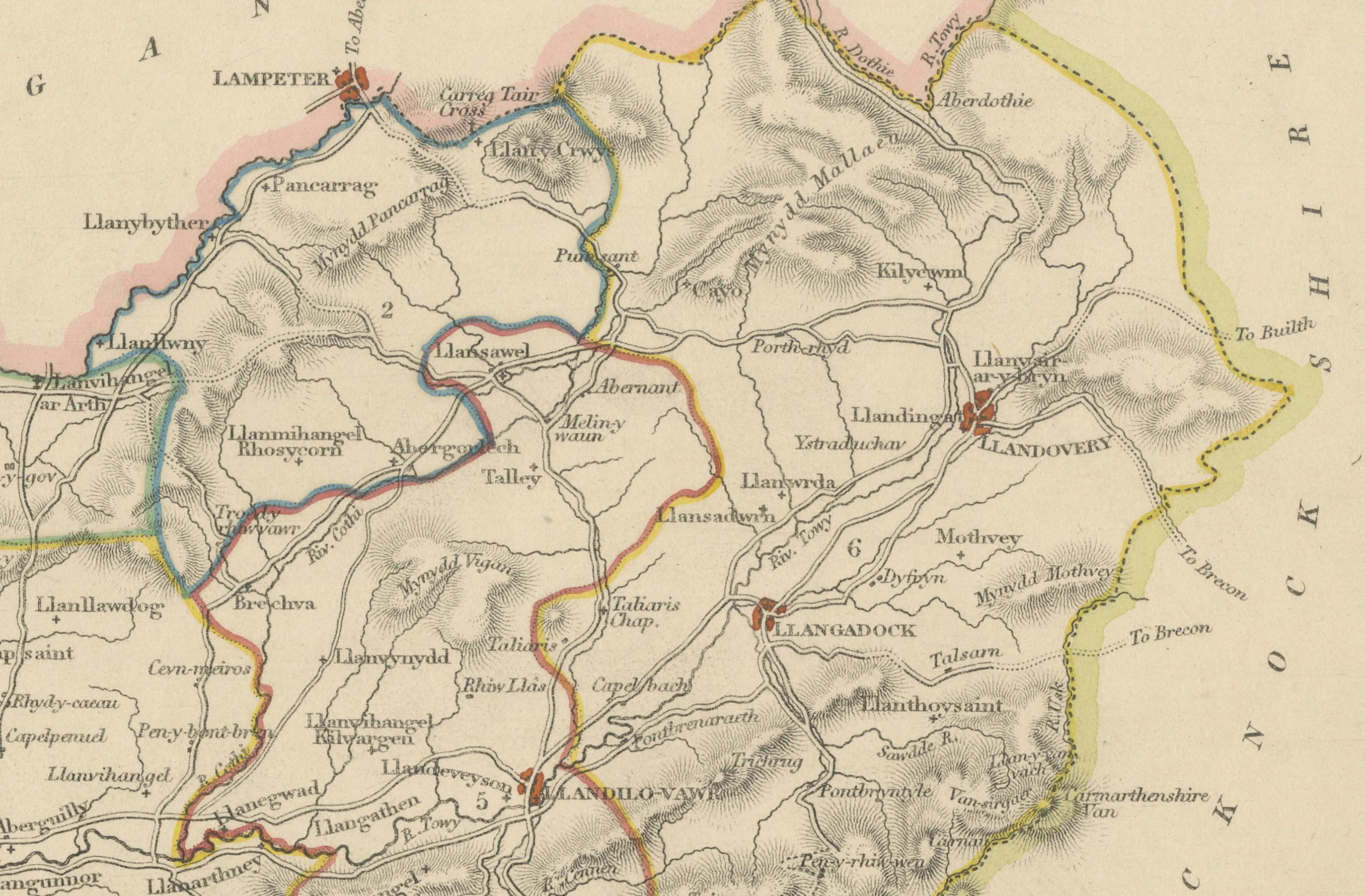
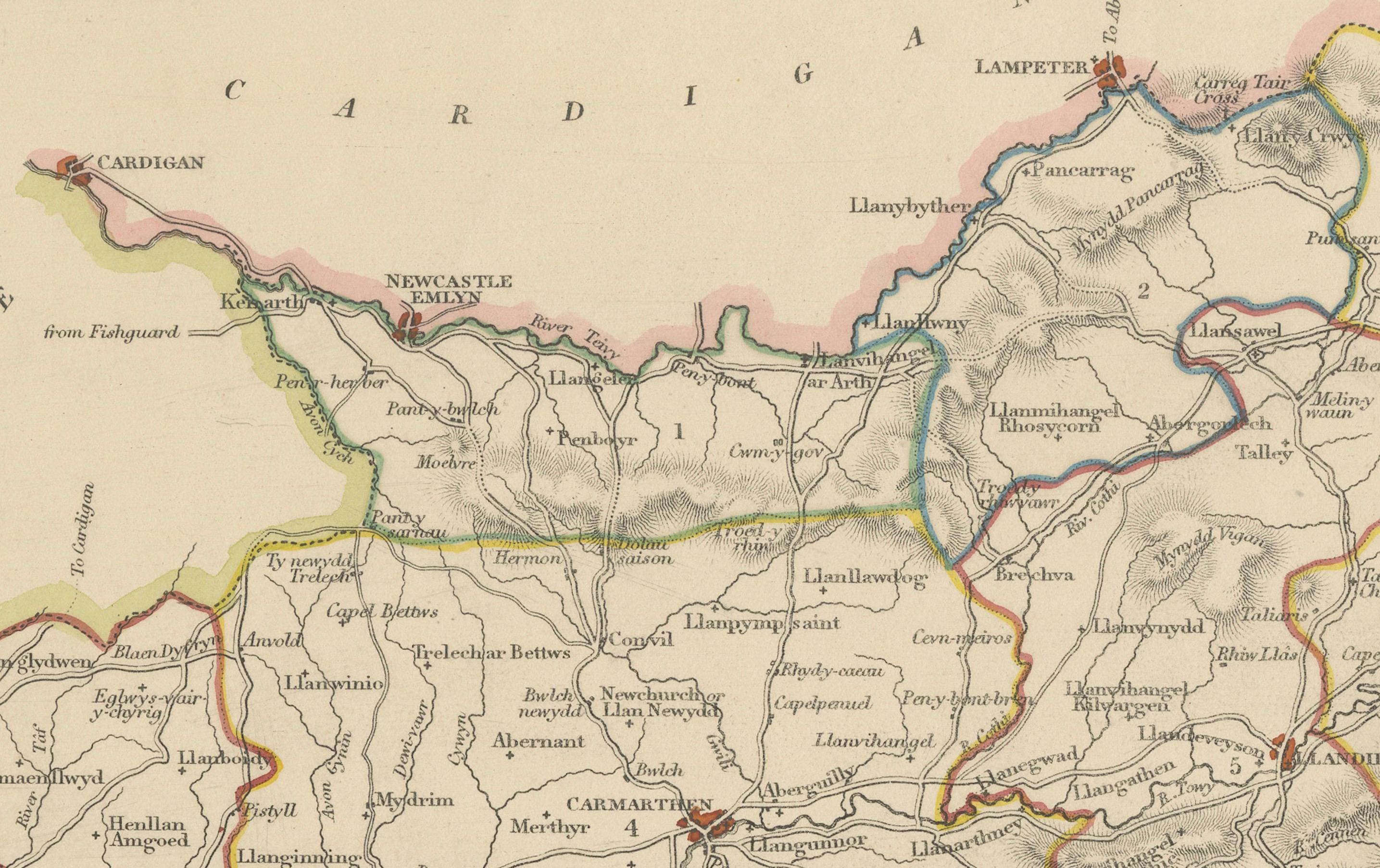
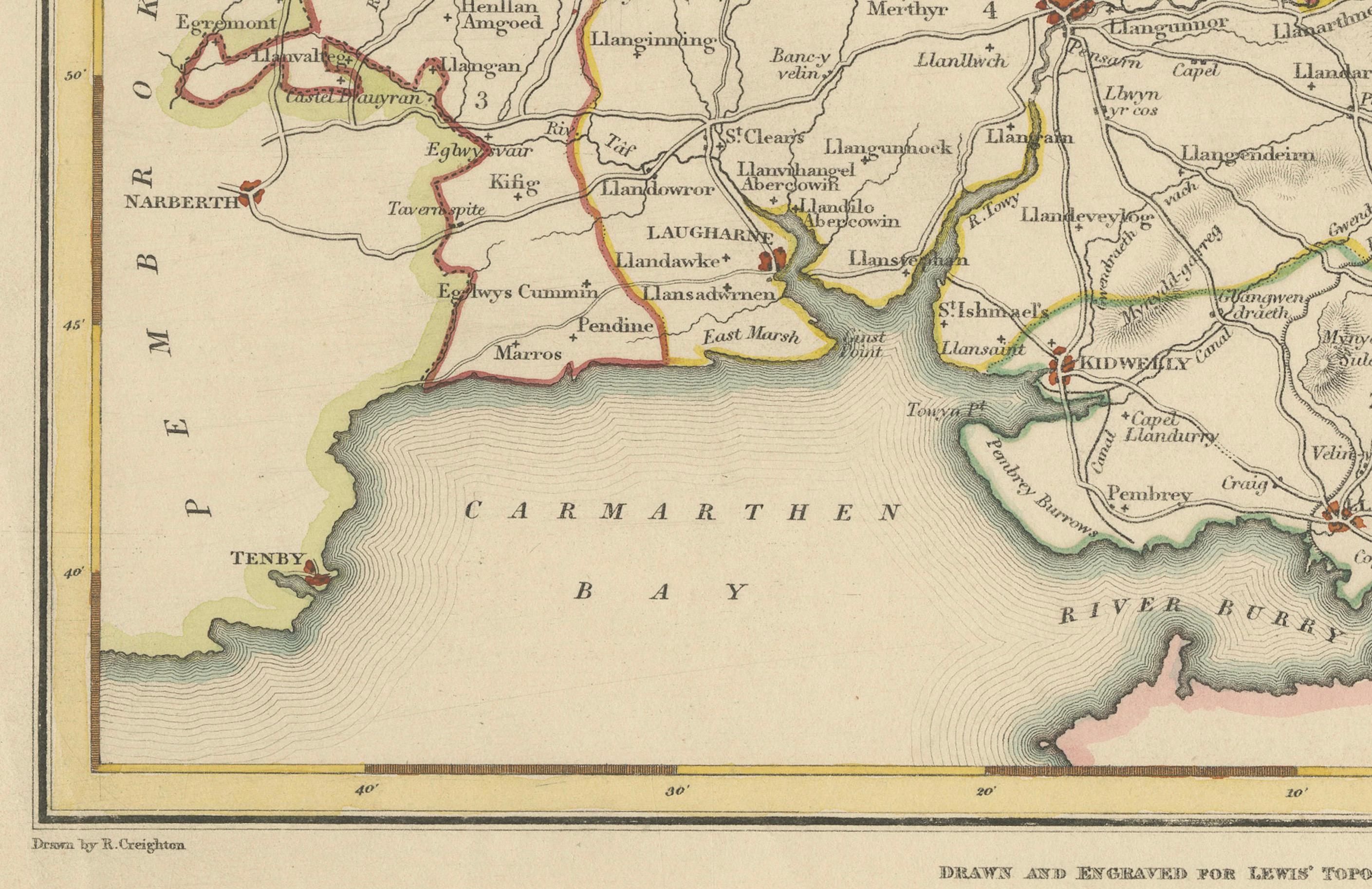
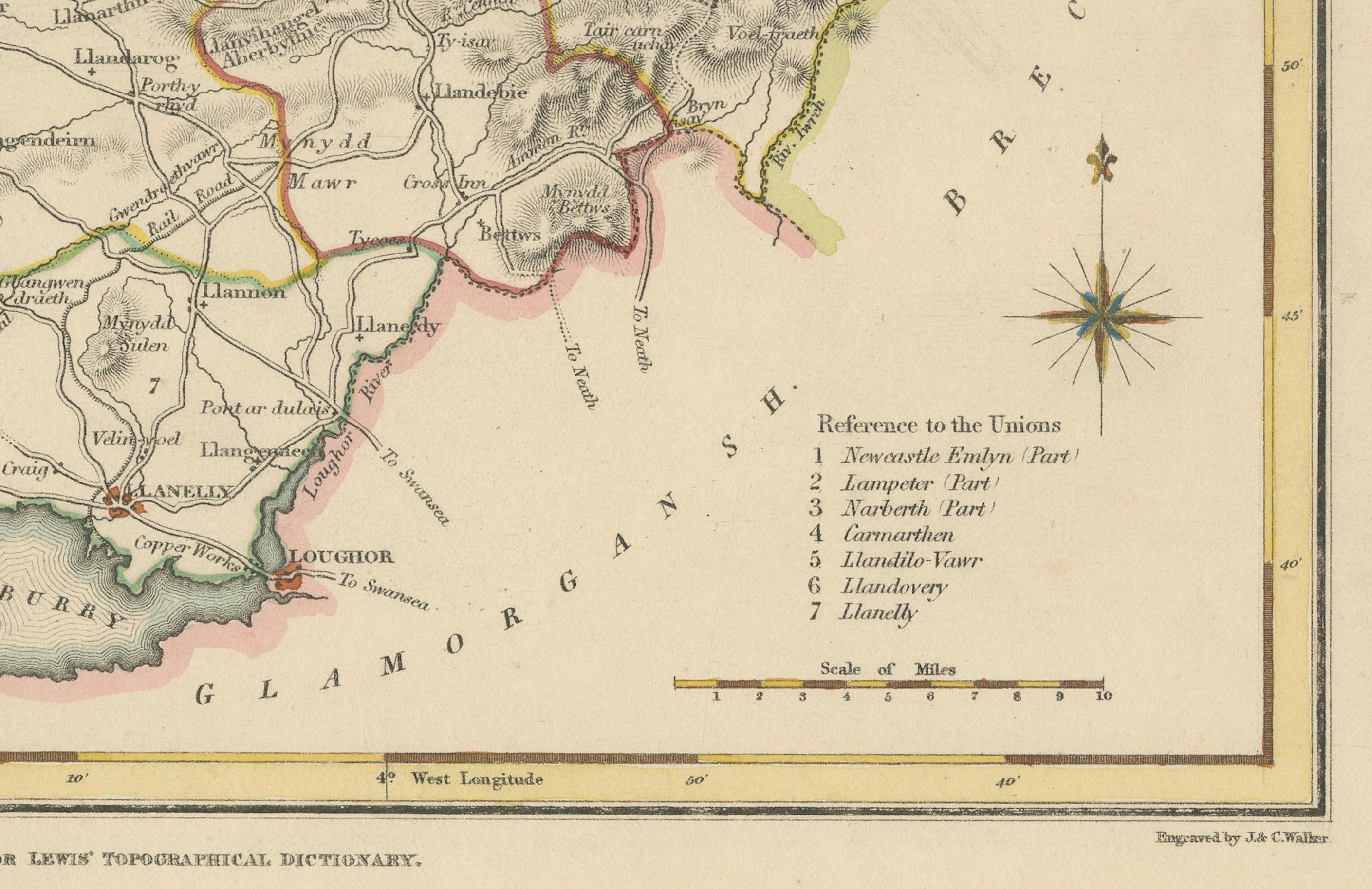
This detailed 1844 map of Carmarthenshire was drawn and engraved for Samuel Lewis’ Topographical Dictionary of Wales. It highlights major towns such as Carmarthen, Llandeilo, Llanelli, Laugharne, and Llandovery. The county's roads, rivers, and hilly terrain are finely engraved and shaded, while original hand coloring outlines the administrative divisions. The map includes a compass rose and a reference to the seven unions within the county.
Condition: The map is in very good antique condition with minimal age toning and wide clean margins. The engraving is crisp and the hand coloring remains bright and accurate. There are no tears or major defects.
Framing suggestions: A cream or soft beige acid-free mat will complement the aged paper and hand coloring. Frame in dark wood, antique gold, or a muted black to highlight the historical character. Use UV-protective glass to preserve the colors. Suitable for traditional interiors, libraries, or as a heritage gift.
Keywords: Carmarthenshire map 1844 Samuel Lewis antique map Wales Carmarthen Llanelli Llandeilo Llandovery Laugharne Victorian map Welsh counties hand-colored historical cartography Carmarthen Bay