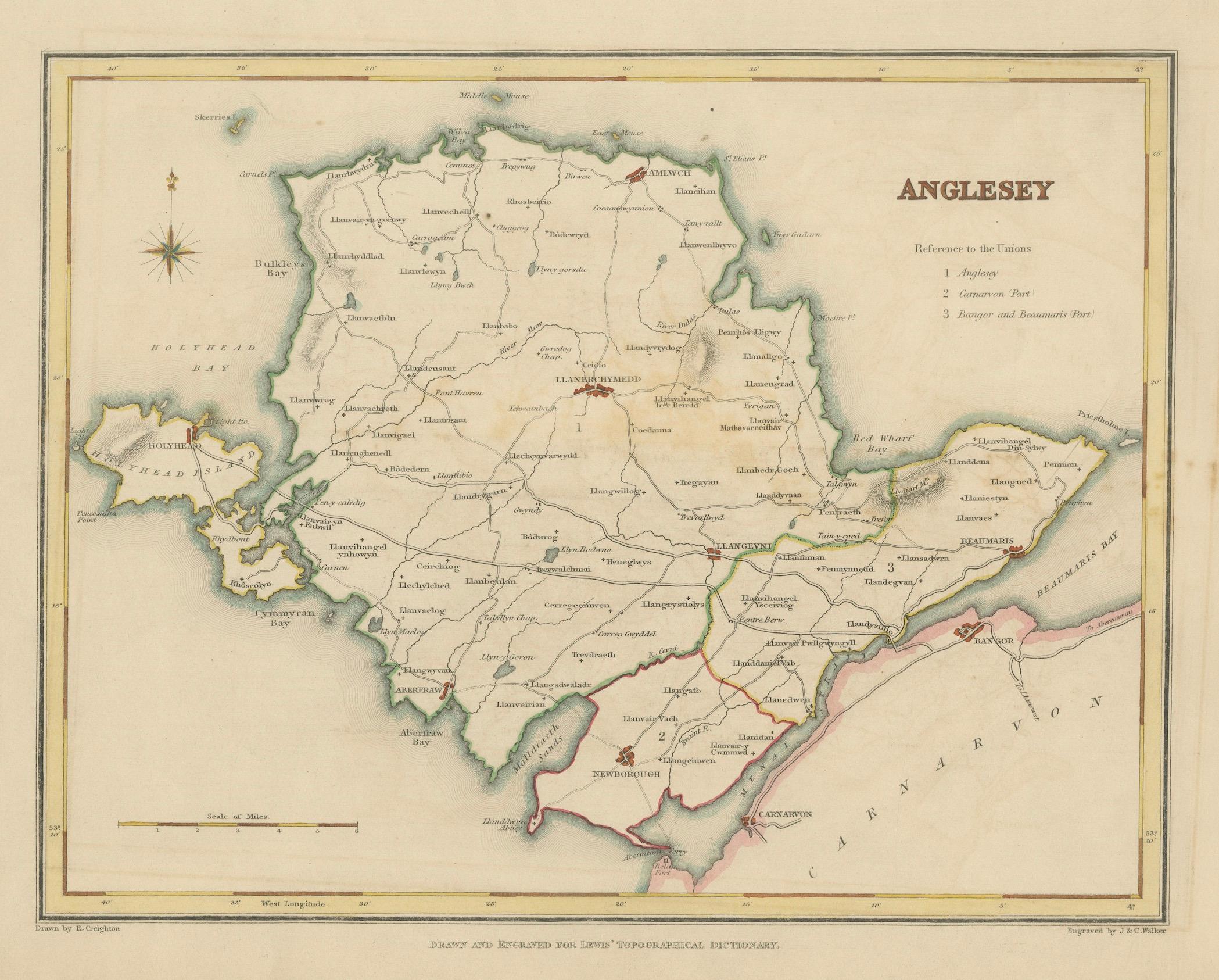
Old Map of Anglesey 1844 – Beaumaris Holyhead Llanerchymedd Amlwch Llangefni
€ 220
One of a kind: this is the sheet in the photographs. Ships from Langweer, the Netherlands.
Date
1844
Sheet size
22.2 × 28.5 cm (8.7 × 11.2 in)
Condition
Good
Reference
BG-02736
Condition
The map is in good condition but with light toning and a few small marks near the right edge. The engraved details are sharp and the original hand coloring is well preserved. There are no tears or significant damage.
About this sheet
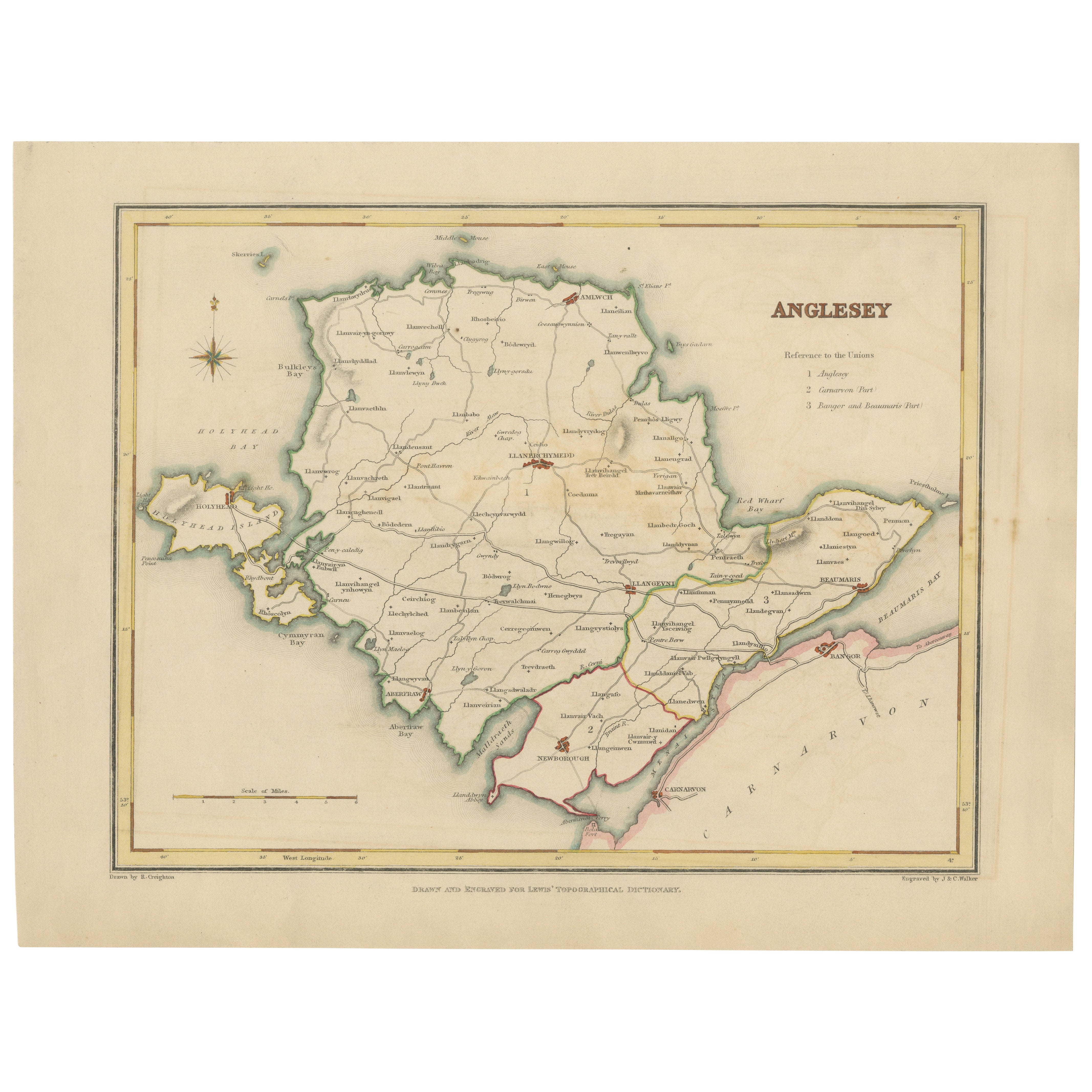
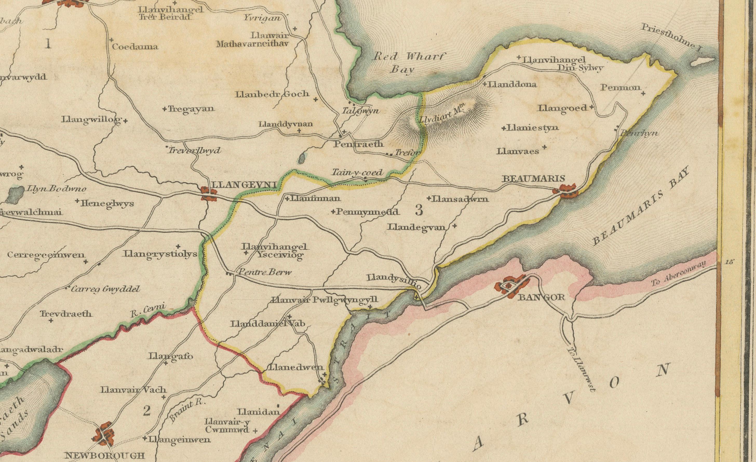
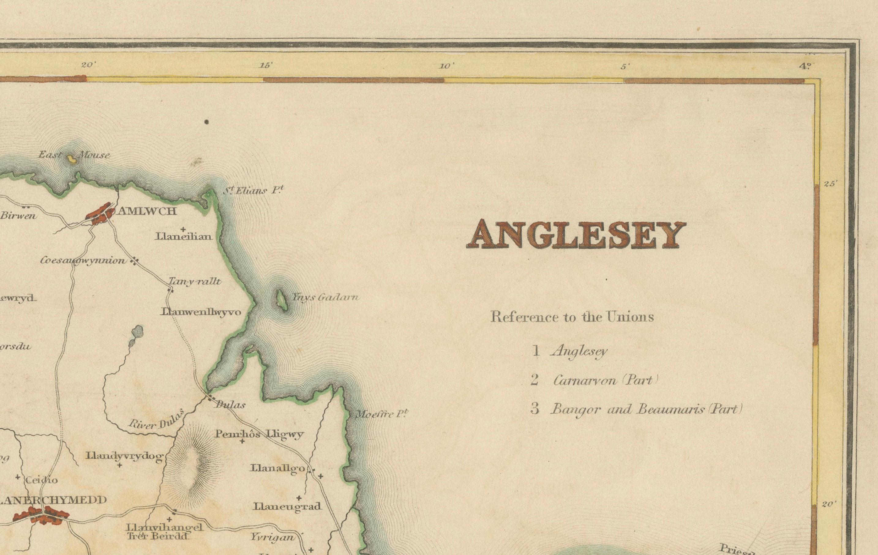
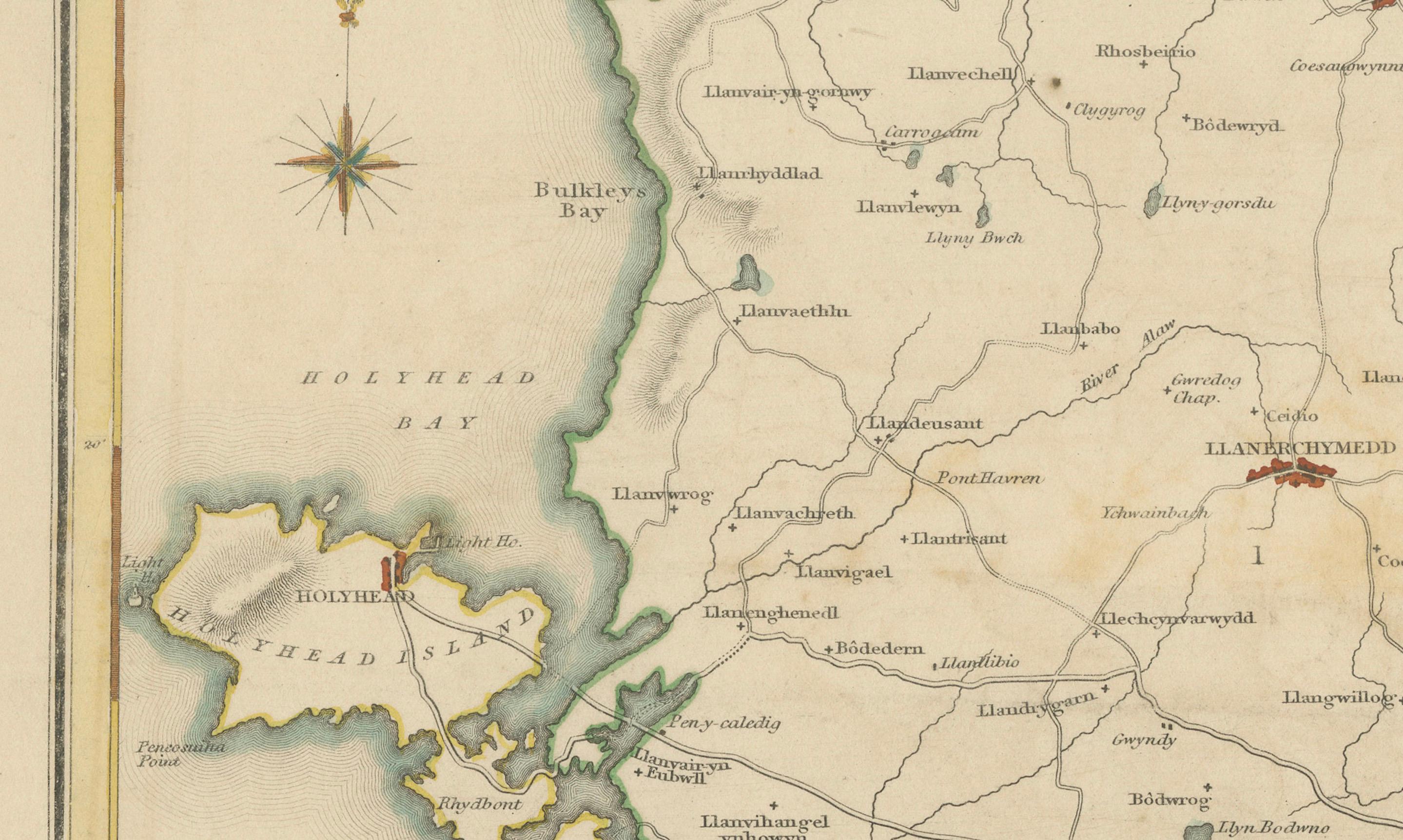
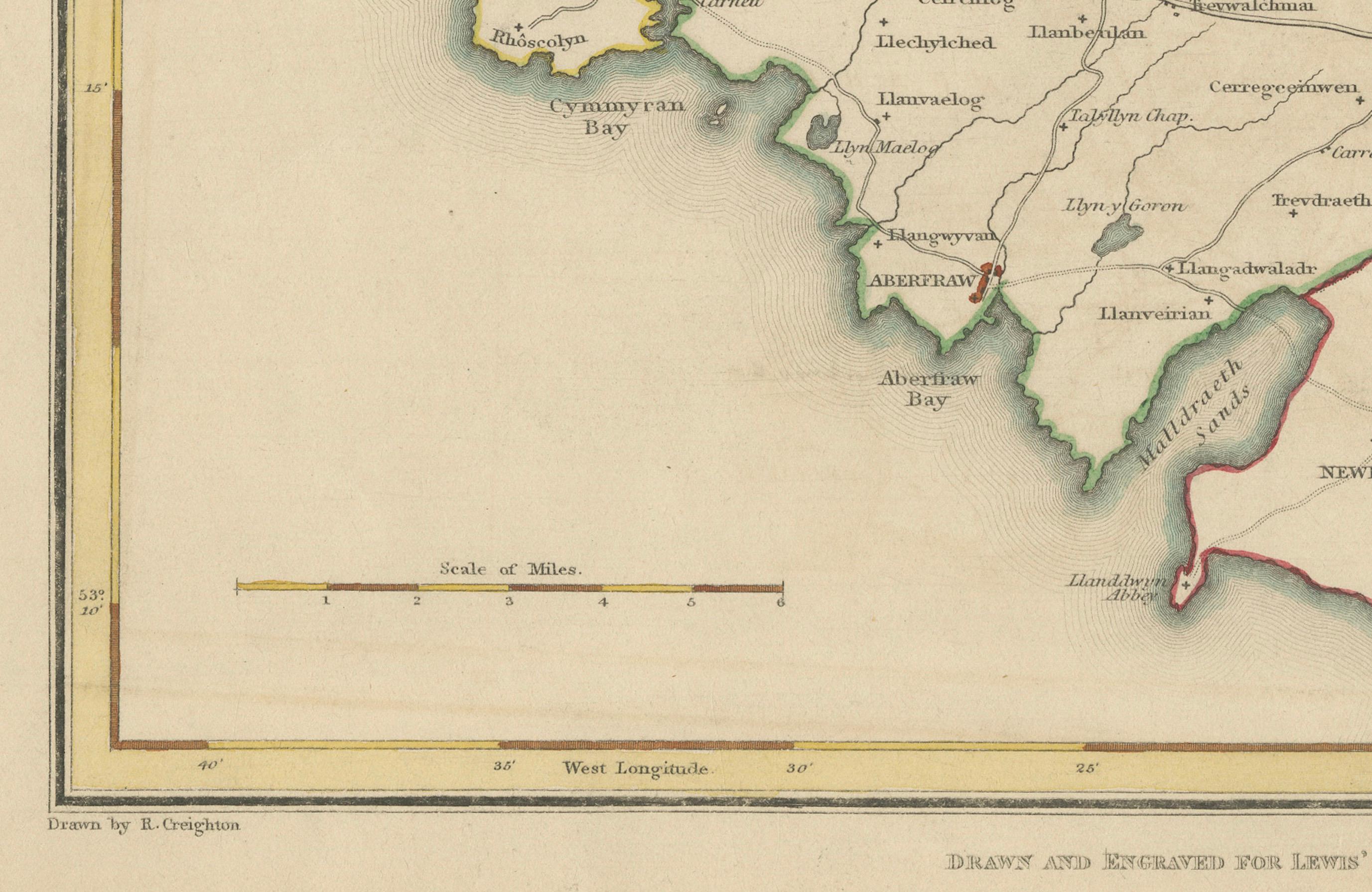
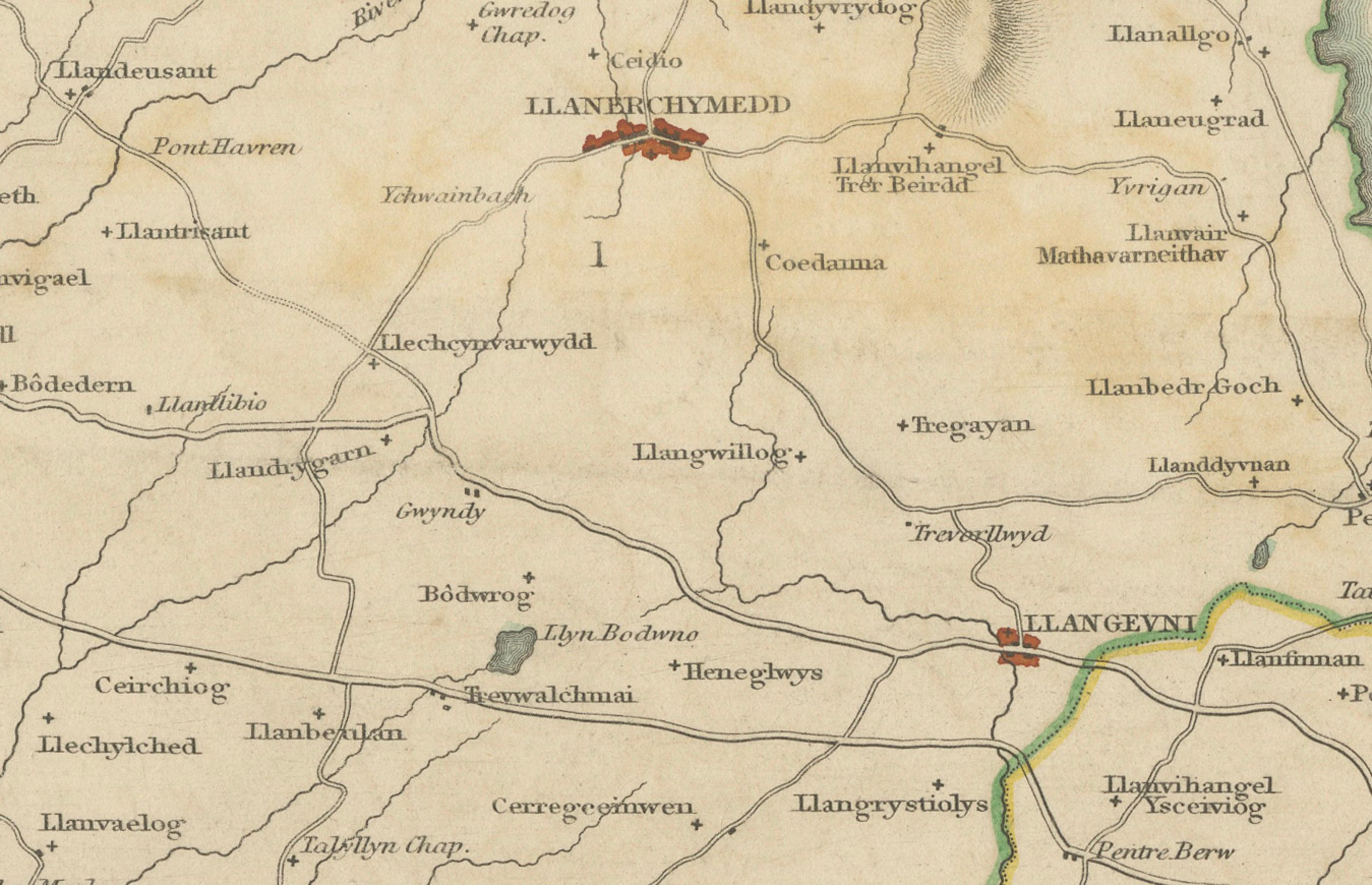
This antique 1844 map of Anglesey was drawn and engraved for Samuel Lewis’ Topographical Dictionary of Wales. It features key towns such as Beaumaris, Holyhead, Amlwch, Llangefni, and Llanerchymedd. The map clearly outlines coastal features including Beaumaris Bay, Red Wharf Bay, Holyhead Bay, and Cymyran Bay. County borders are hand-colored and a decorative compass rose enhances the visual appeal. A reference to the administrative unions adds historical context.
Condition: The map is in good condition but with light toning and a few small marks near the right edge. The engraved details are sharp and the original hand coloring is well preserved. There are no tears or significant damage.
Framing suggestions: Use a cream or light tan acid-free mat to highlight the natural paper tone. A dark wood or antique gold frame will bring out the period style, while UV-protective glass will help preserve the colors. A perfect display piece for collectors of Welsh maps or those with a connection to Anglesey.
Keywords: Anglesey map 1844 Samuel Lewis antique map Wales Beaumaris Holyhead Llangefni Amlwch Llanerchymedd Victorian cartography historical Welsh counties hand-colored map Holyhead Bay Beaumaris Bay