About this sheet
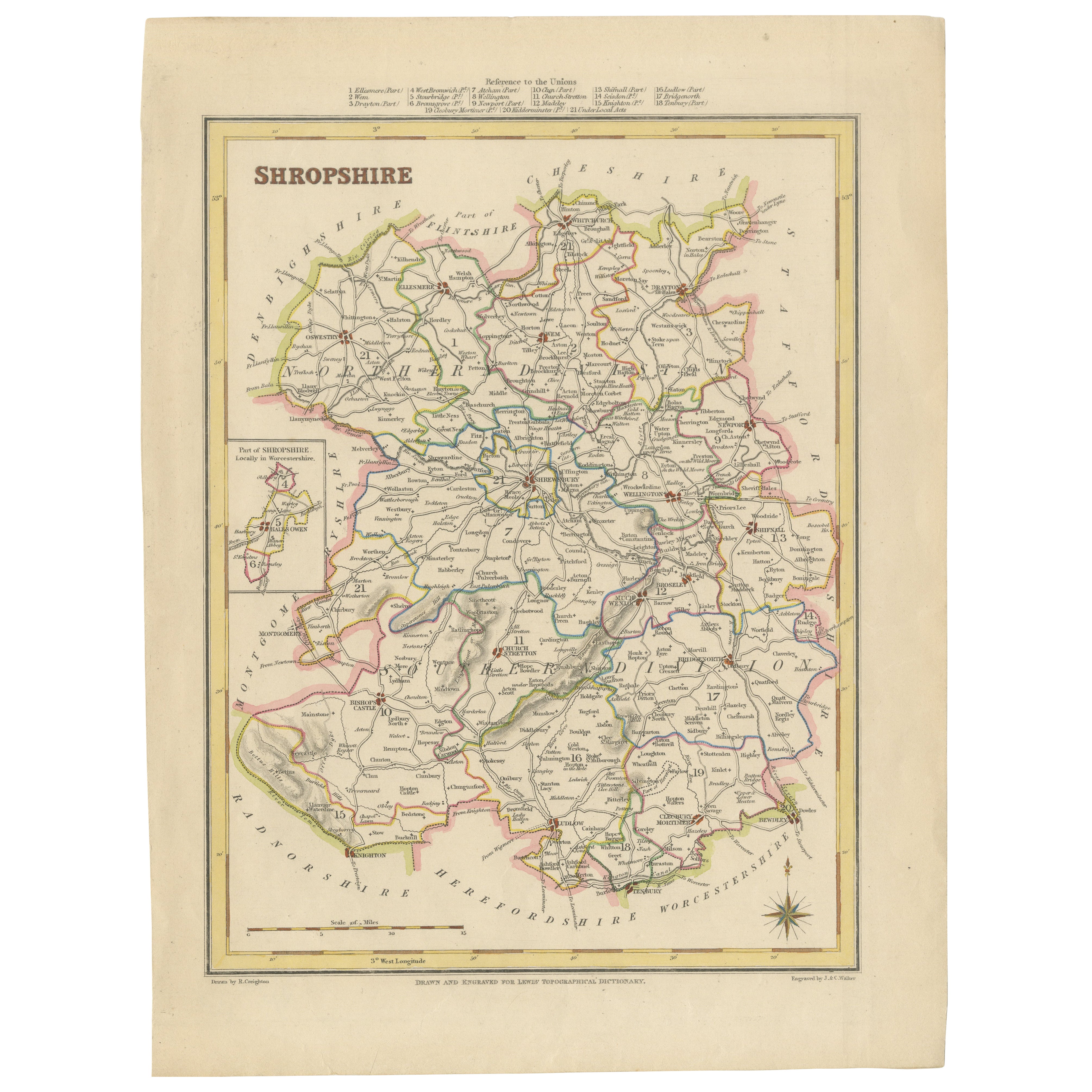
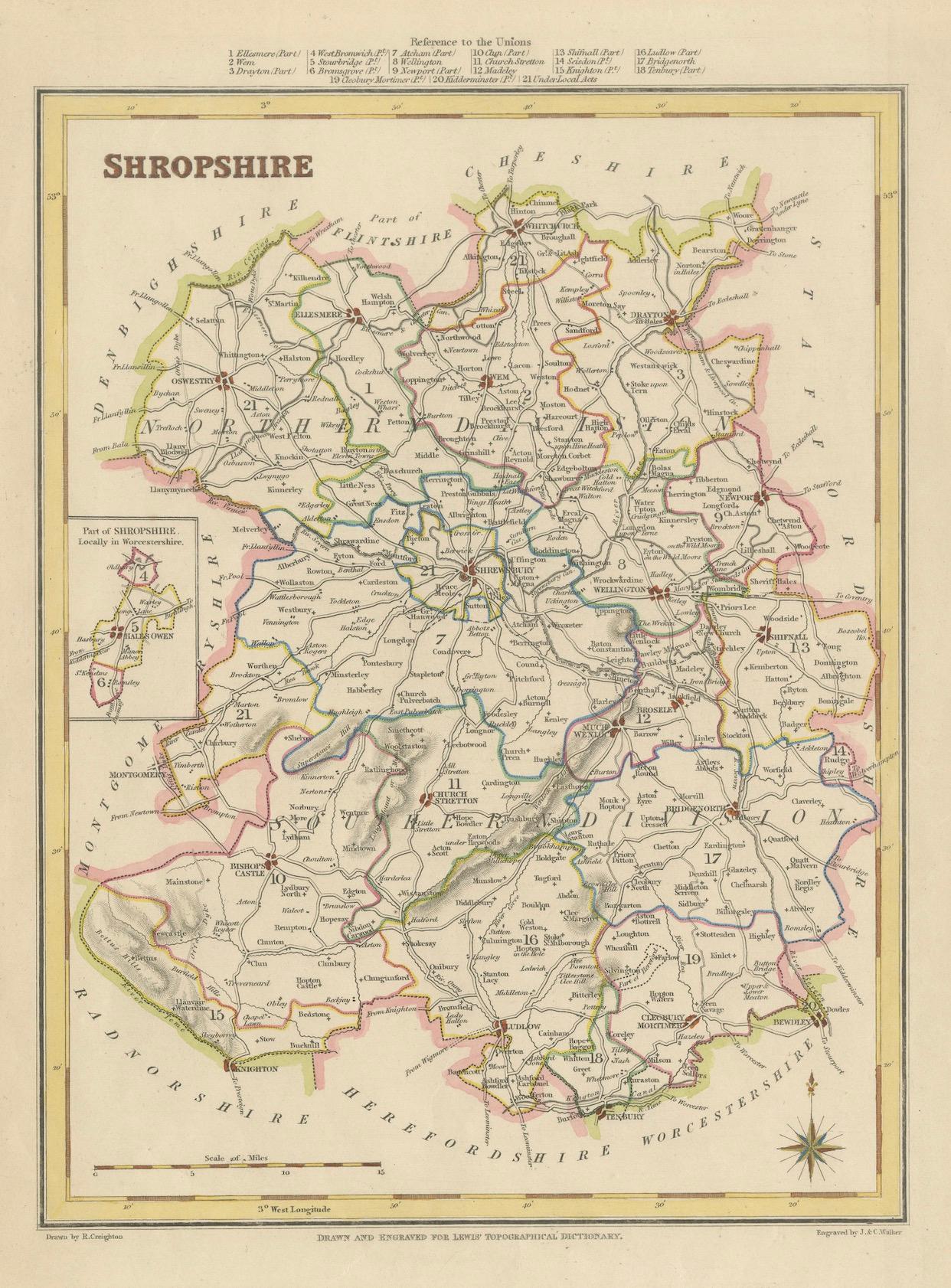
Old Map of Shropshire by Samuel Lewis, 1844: Telford, Shrewsbury, Oswestry, Bridgnorth, and Wellington
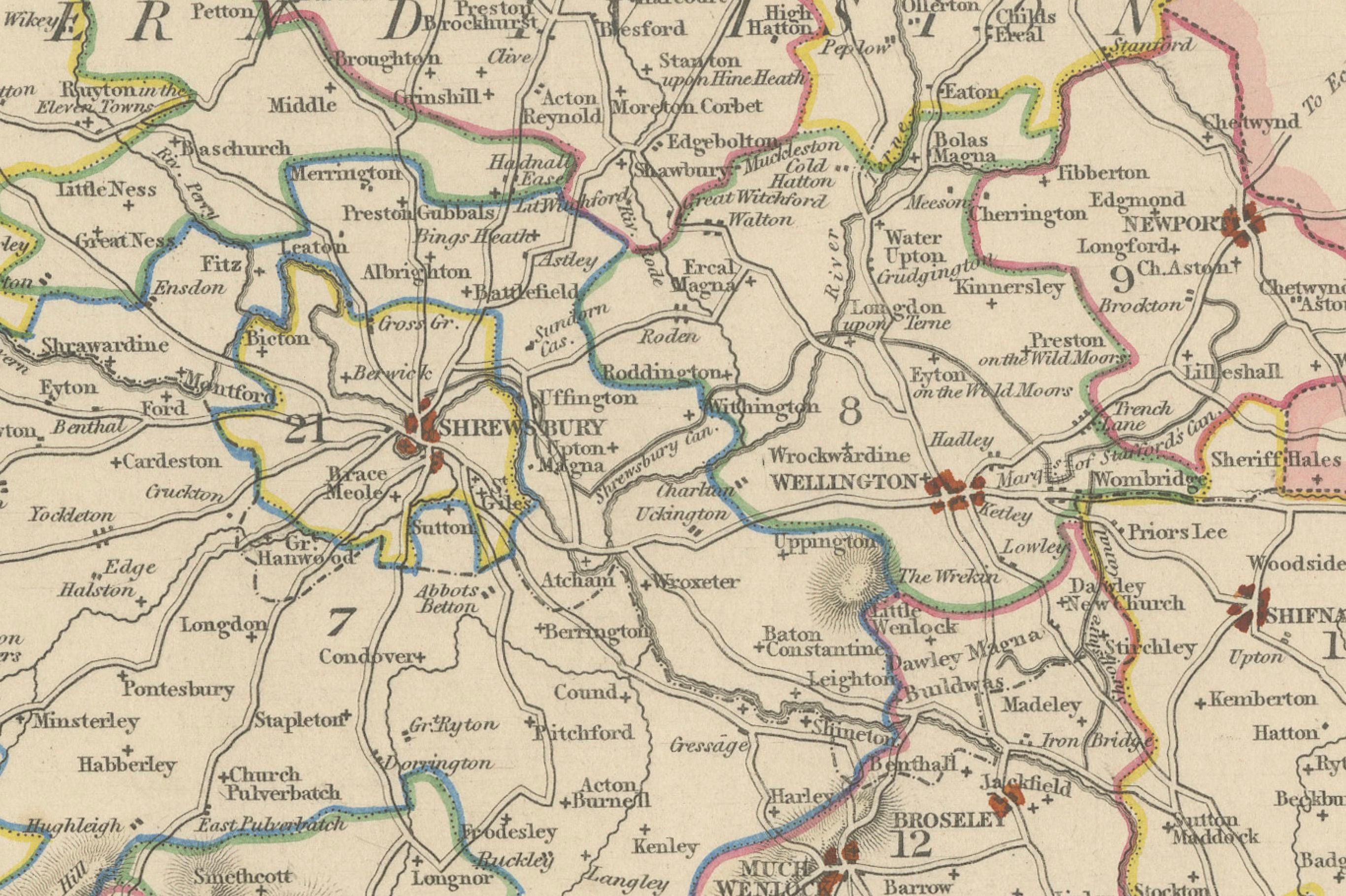
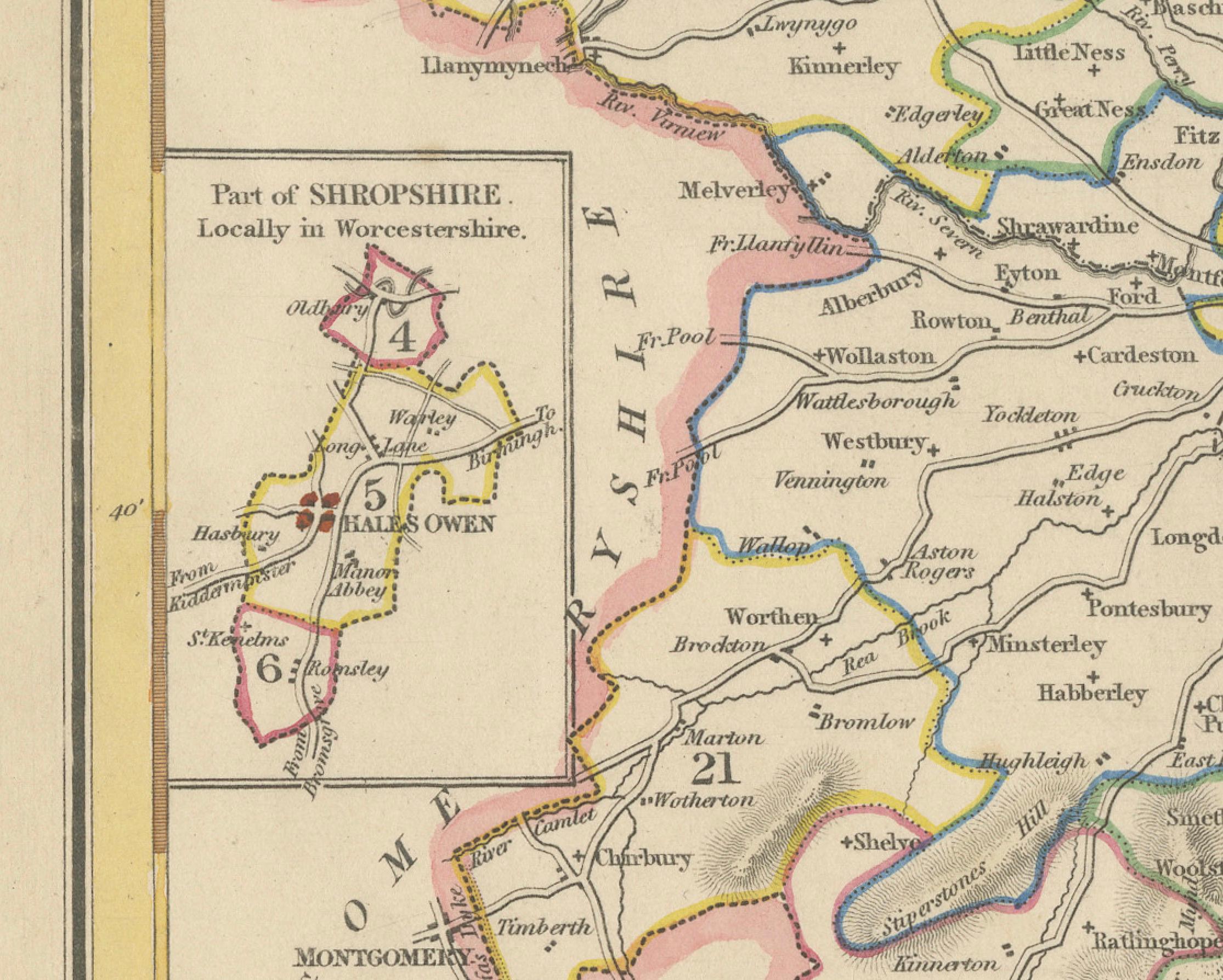
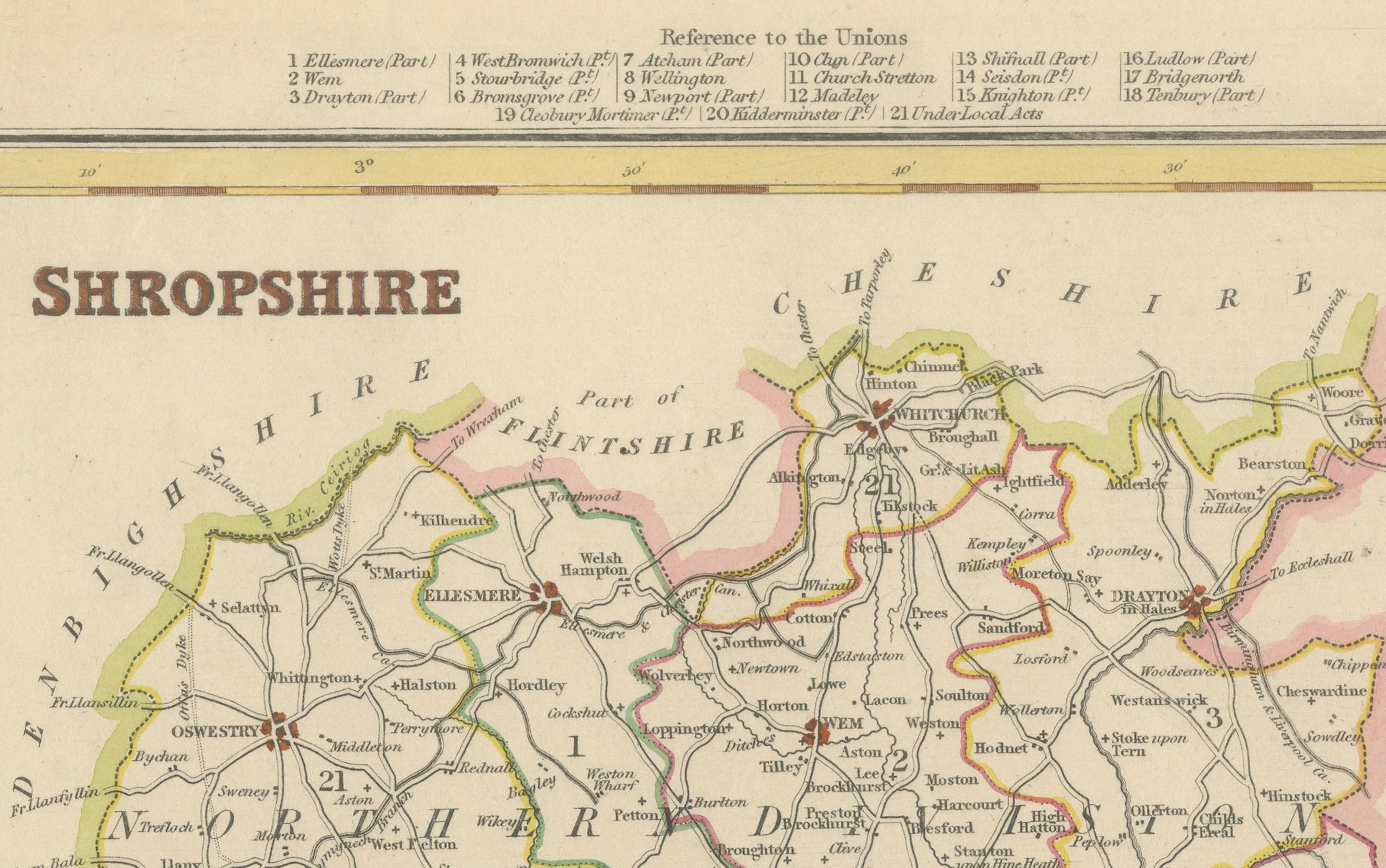
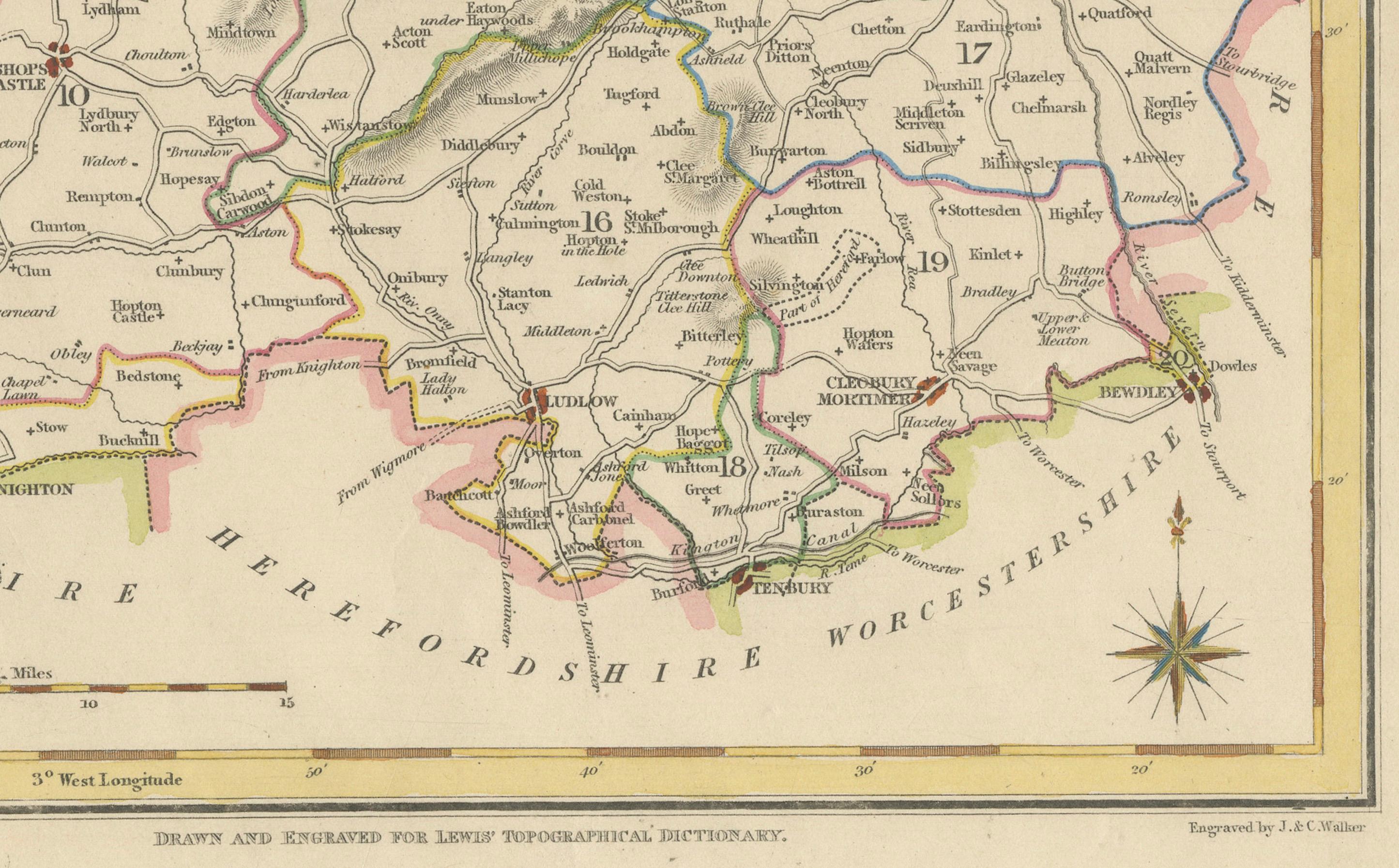
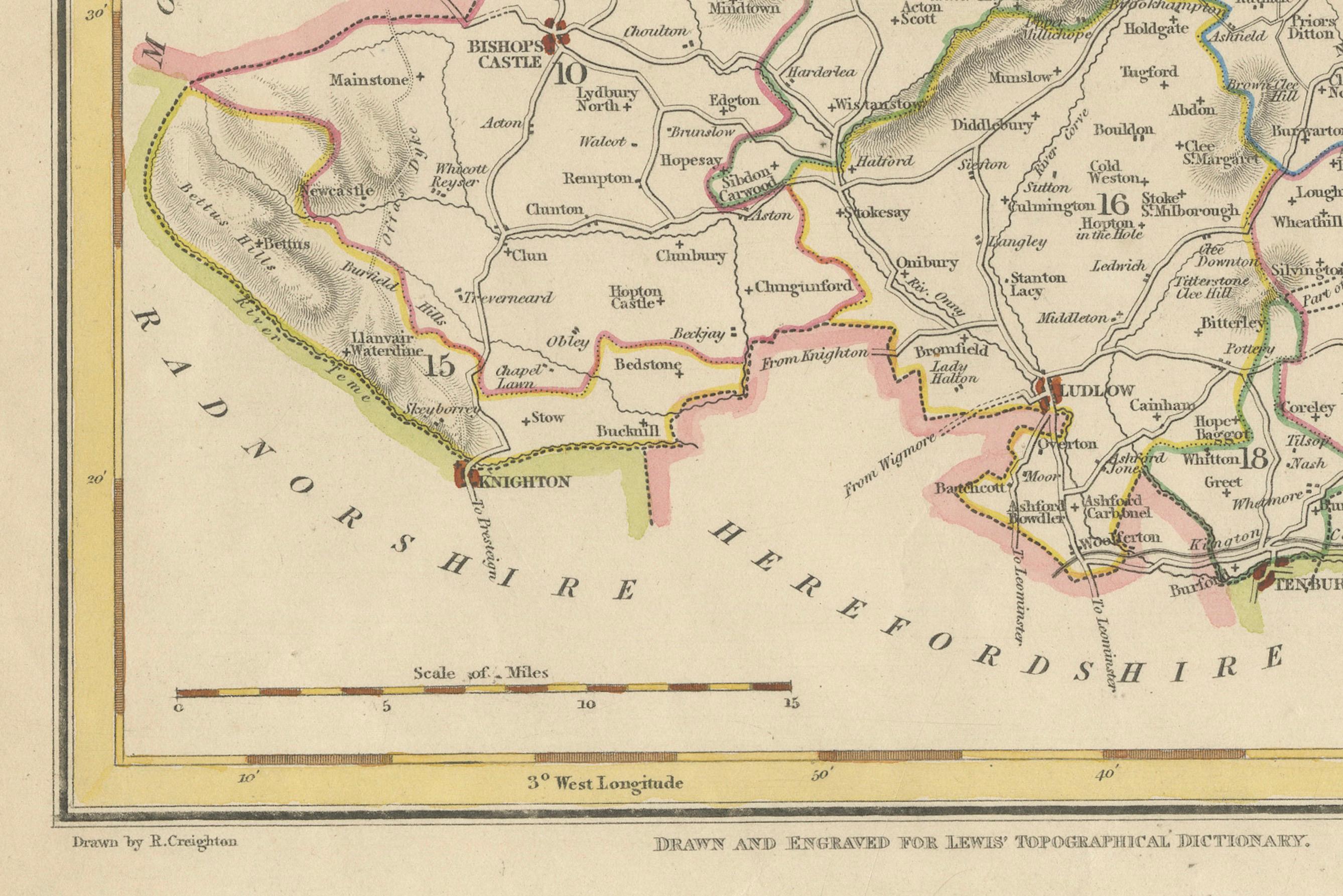
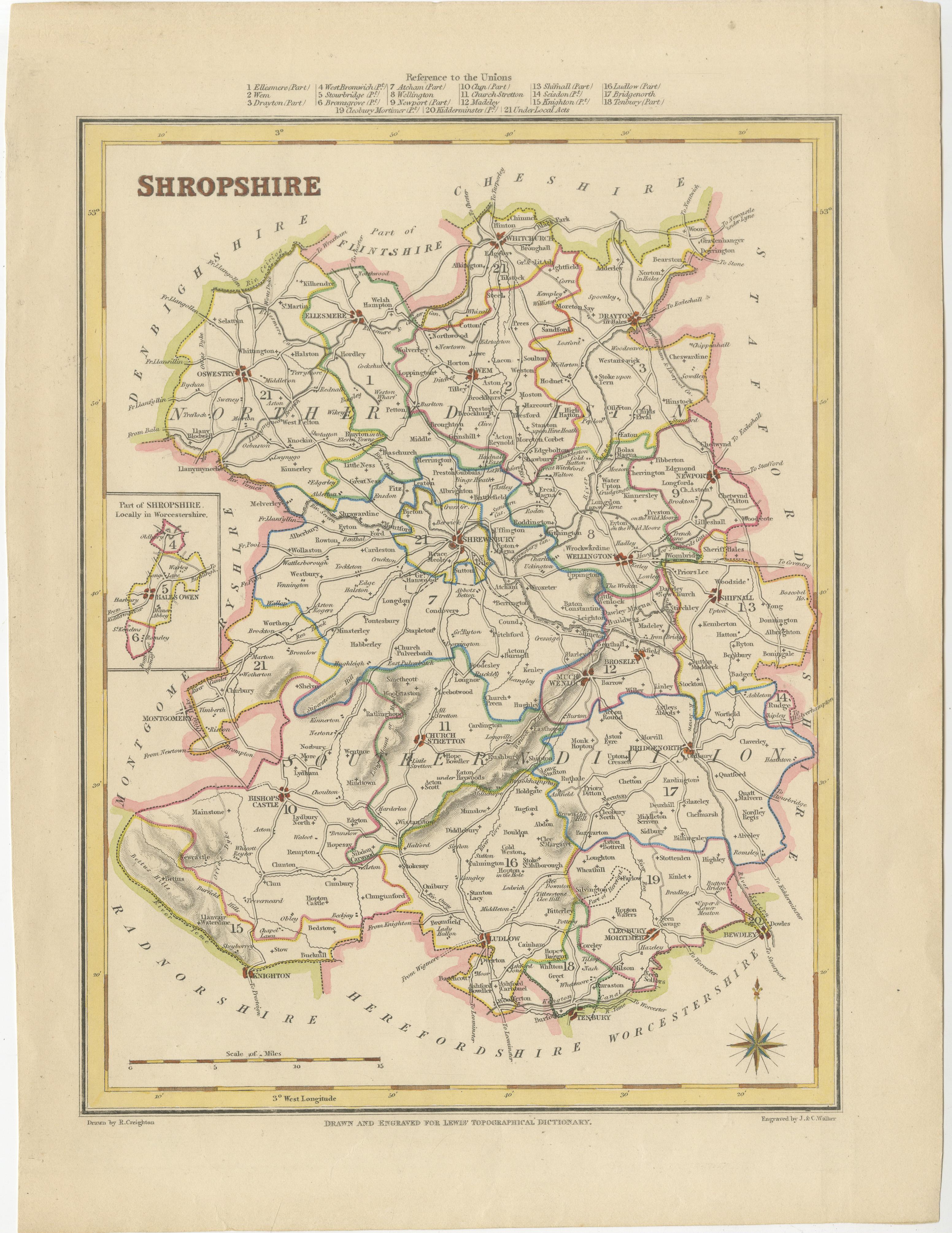
This 1844 map of Shropshire is an antique engraving from Samuel Lewis' Topographical Dictionary. It features a detailed depiction of the county's towns, roads, and divisions, with notable places including Telford, Shrewsbury, Oswestry, Bridgnorth, and Wellington. The map is hand-colored to show county borders and includes an inset of a detached portion of Shropshire. It is finely drawn and engraved, with a decorative compass rose and a reference to the various hundreds (administrative divisions) at the top.
Condition:
The map is in good antique condition with minor age toning and some light edge wear. The engraving is sharp, and the original hand coloring remains vibrant. Small imperfections consistent with age are present but do not detract from the overall appearance.
Framing Suggestions:
For framing the 1844 Shropshire map, use a soft cream, ivory, or light beige acid-free mat to complement the antique paper and hand-coloring. Pair it with a dark wood, antique gold, or black distressed frame for a classic look. A double mat with a subtle inner accent (like olive or burgundy) can enhance the colored borders without overwhelming the map.
Keywords:
Shropshire map, Samuel Lewis, antique map, 1844 map, old English map, Shrewsbury, Oswestry, Bridgnorth, Telford, historical cartography, hand-colored map, Victorian map, topographical map, Wellington, 19th-century map of England.