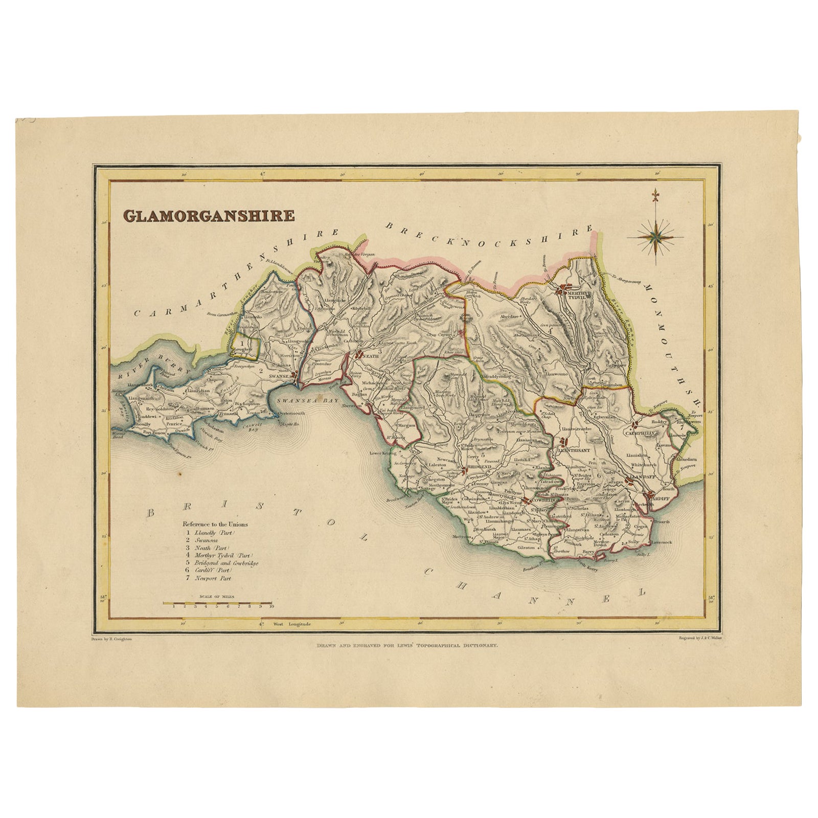
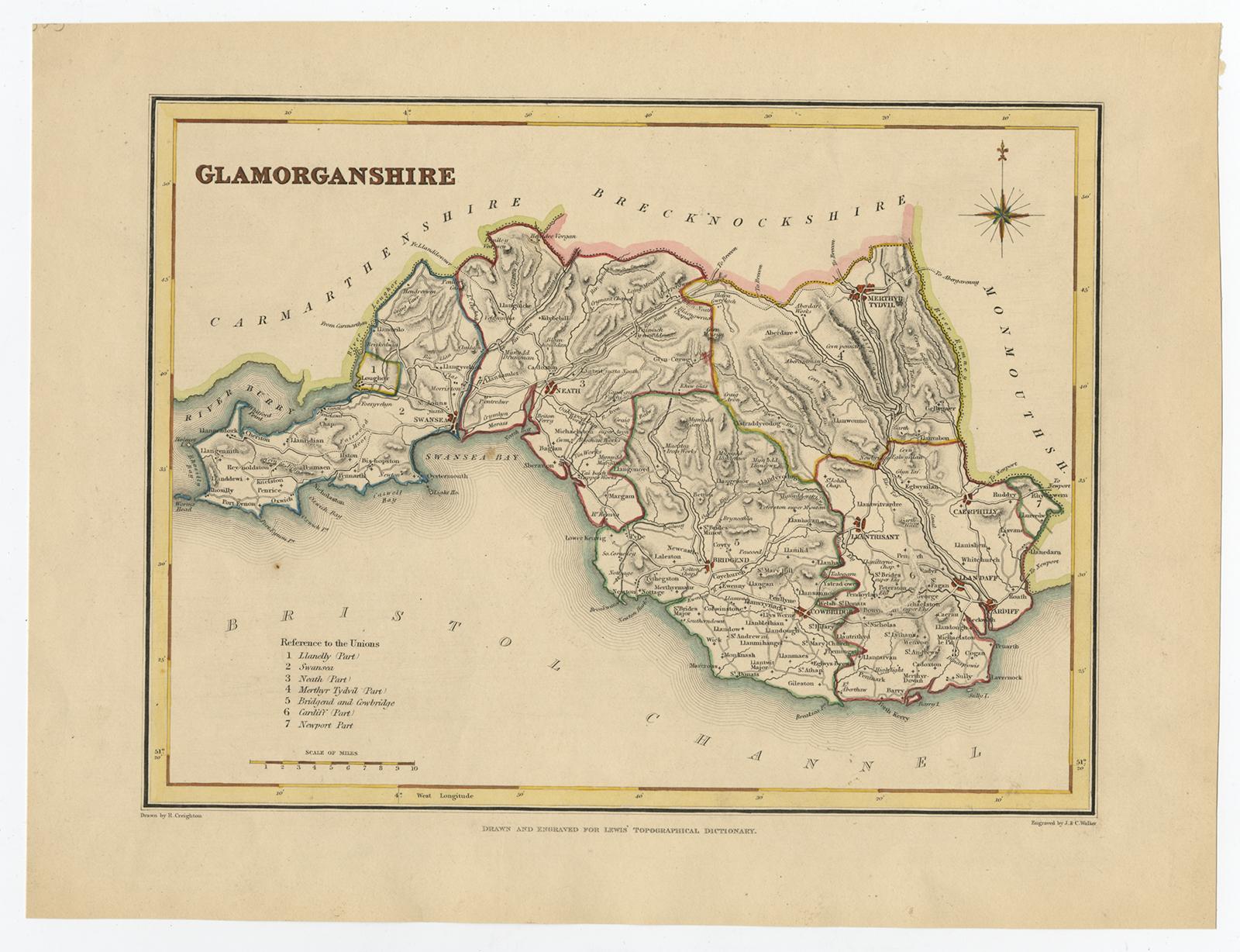
Old Map of Glamorganshire by Lewis 1844 – Swansea Cardiff Merthyr Tydfil Neath
€ 240
One of a kind: this is the sheet in the photographs. Ships from Langweer, the Netherlands.
Date
1844
Sheet size
22.2 × 28.5 cm (8.7 × 11.2 in)
Condition
Good
Reference
BG-02732
Condition
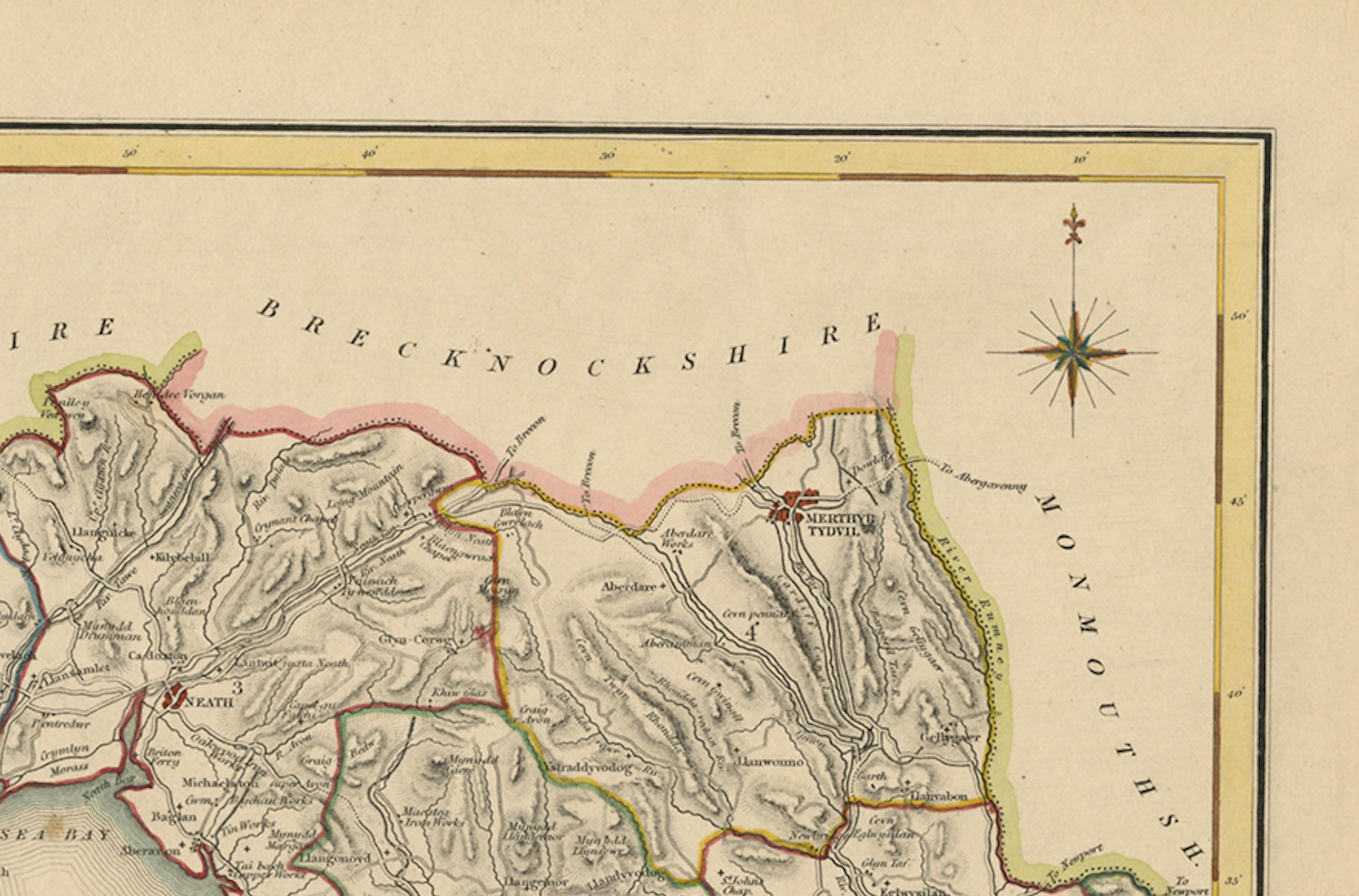
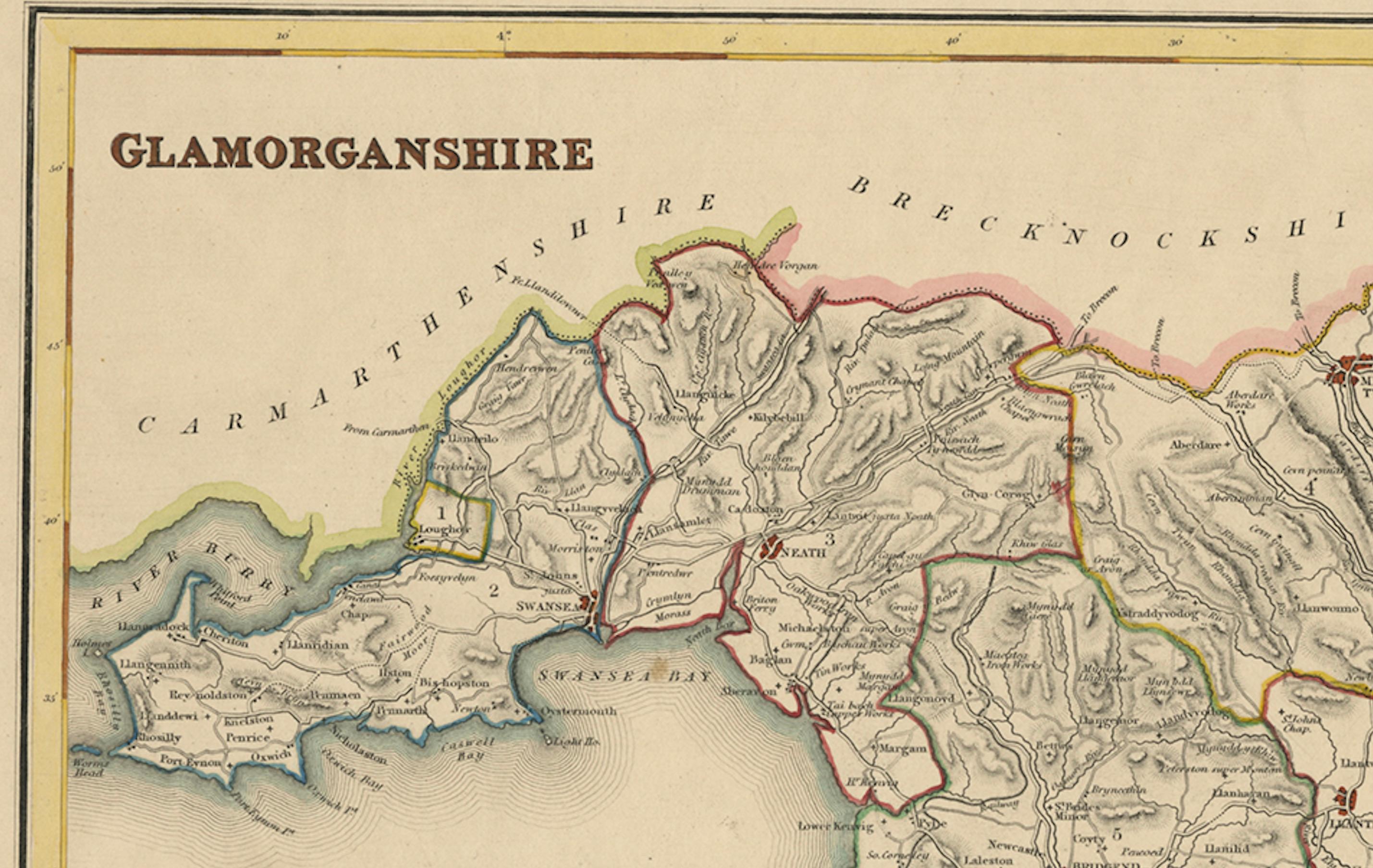
The map is in good antique condition with minor age toning and clean margins. The engraving remains sharp and the original colors are clear and unfaded. No major damage or repairs are visible.
About this sheet
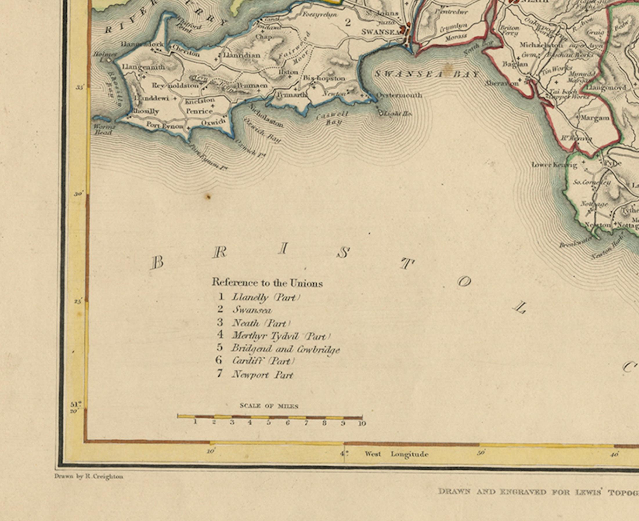
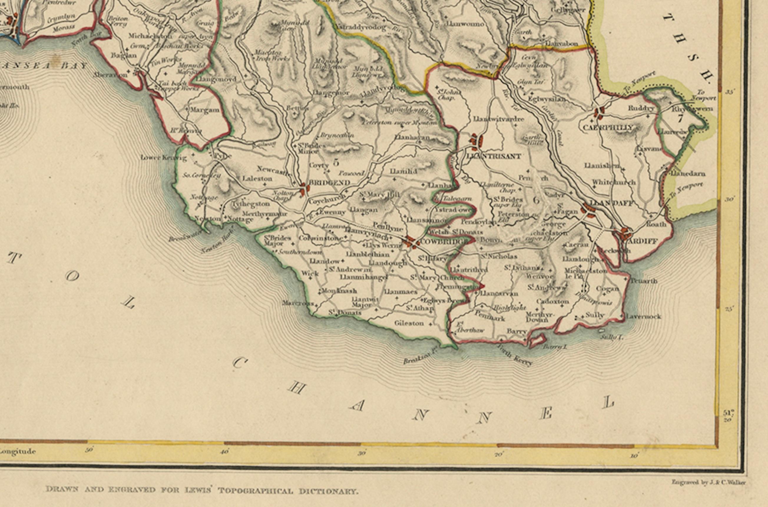
This detailed map of Glamorganshire was published in 1844 for Samuel Lewis’ Topographical Dictionary of Wales. It showcases major towns such as Swansea, Cardiff, Merthyr Tydfil, Neath, and Bridgend. The map features original hand coloring that outlines the county borders and includes shaded topographical elements to show the landscape. A decorative compass rose and a reference to the seven unions add both style and historical context.
Condition: The map is in good antique condition with minor age toning and clean margins. The engraving remains sharp and the original colors are clear and unfaded. No major damage or repairs are visible.
Framing suggestions: Use a soft cream or ivory acid-free mat to match the natural tone of the paper. Choose a dark wood, antique gold, or black frame with a soft patina to enhance the historical feel. UV-protective glass is recommended to preserve the colors. This map is ideal for a home office, study, or as a thoughtful gift for those with Welsh heritage.
Keywords: Glamorganshire map 1844 Samuel Lewis antique map Wales Swansea Cardiff Neath Merthyr Tydfil Bridgend historical map hand-colored Victorian cartography Welsh counties