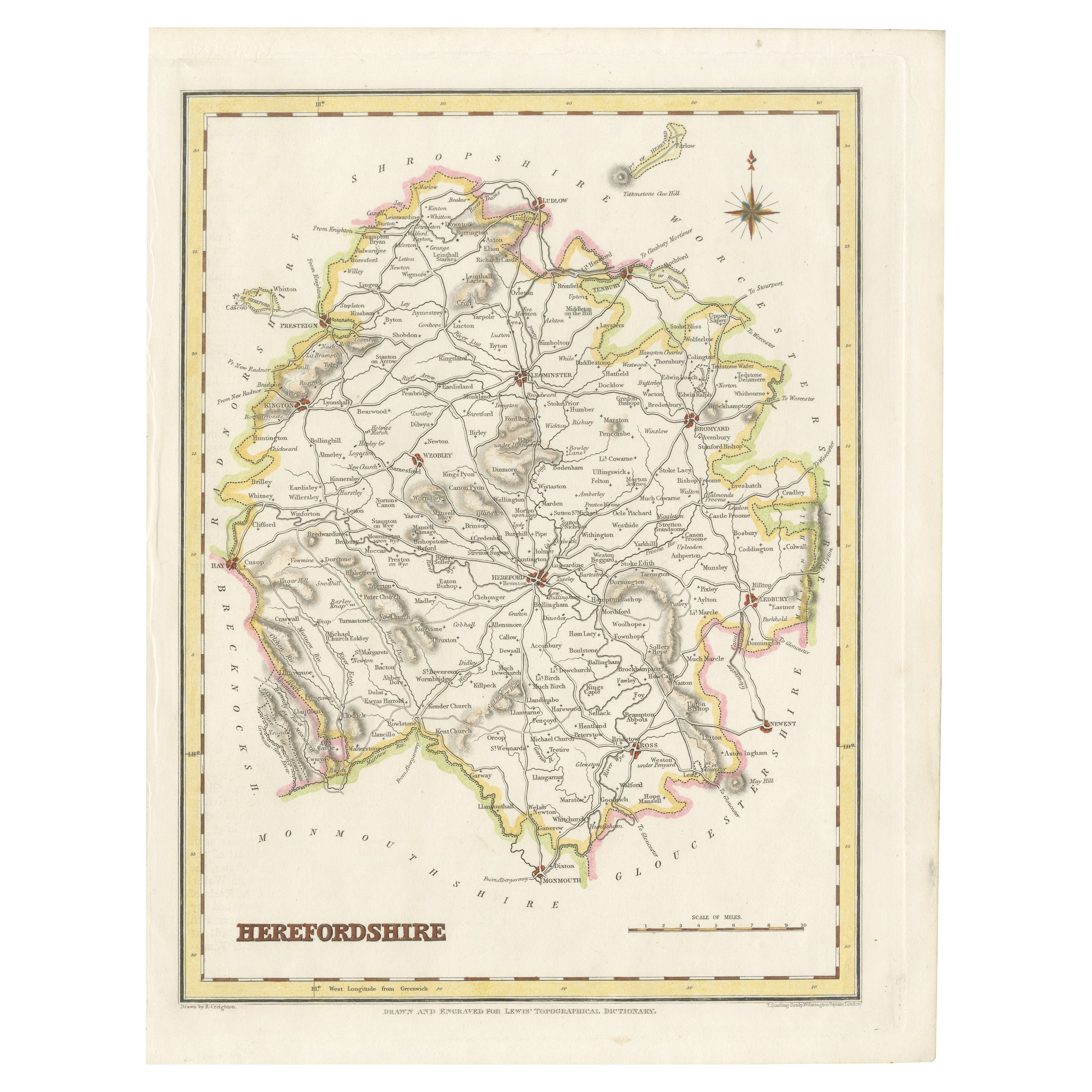
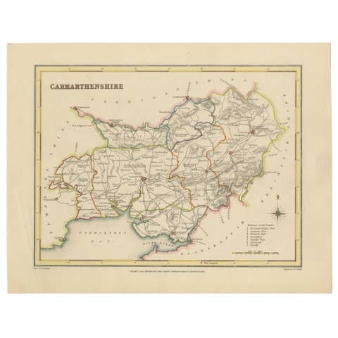
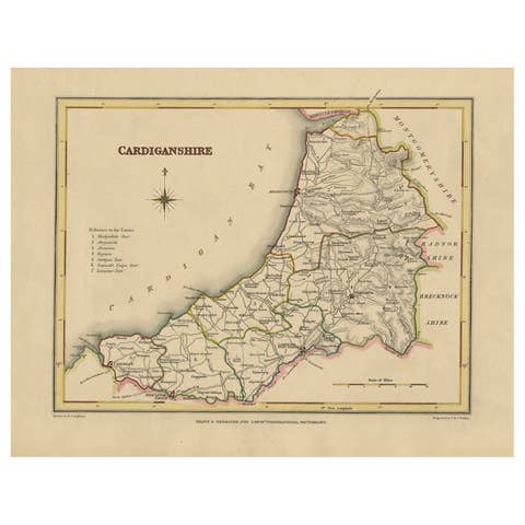
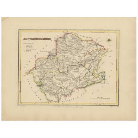
Old Map of Herefordshire 1844 – Hereford Leominster Ross-on-Wye Kington Bromyard
€ 190
One of a kind: this is the sheet in the photographs. Ships from Langweer, the Netherlands.
Date
1844
Sheet size
27.2 × 21 cm (10.7 × 8.3 in)
Condition
Good
Reference
BG-02726
Condition
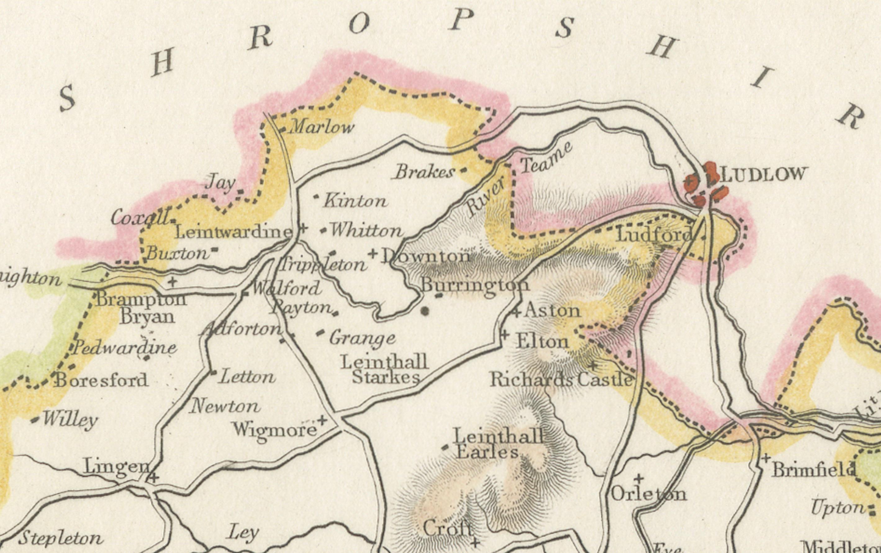
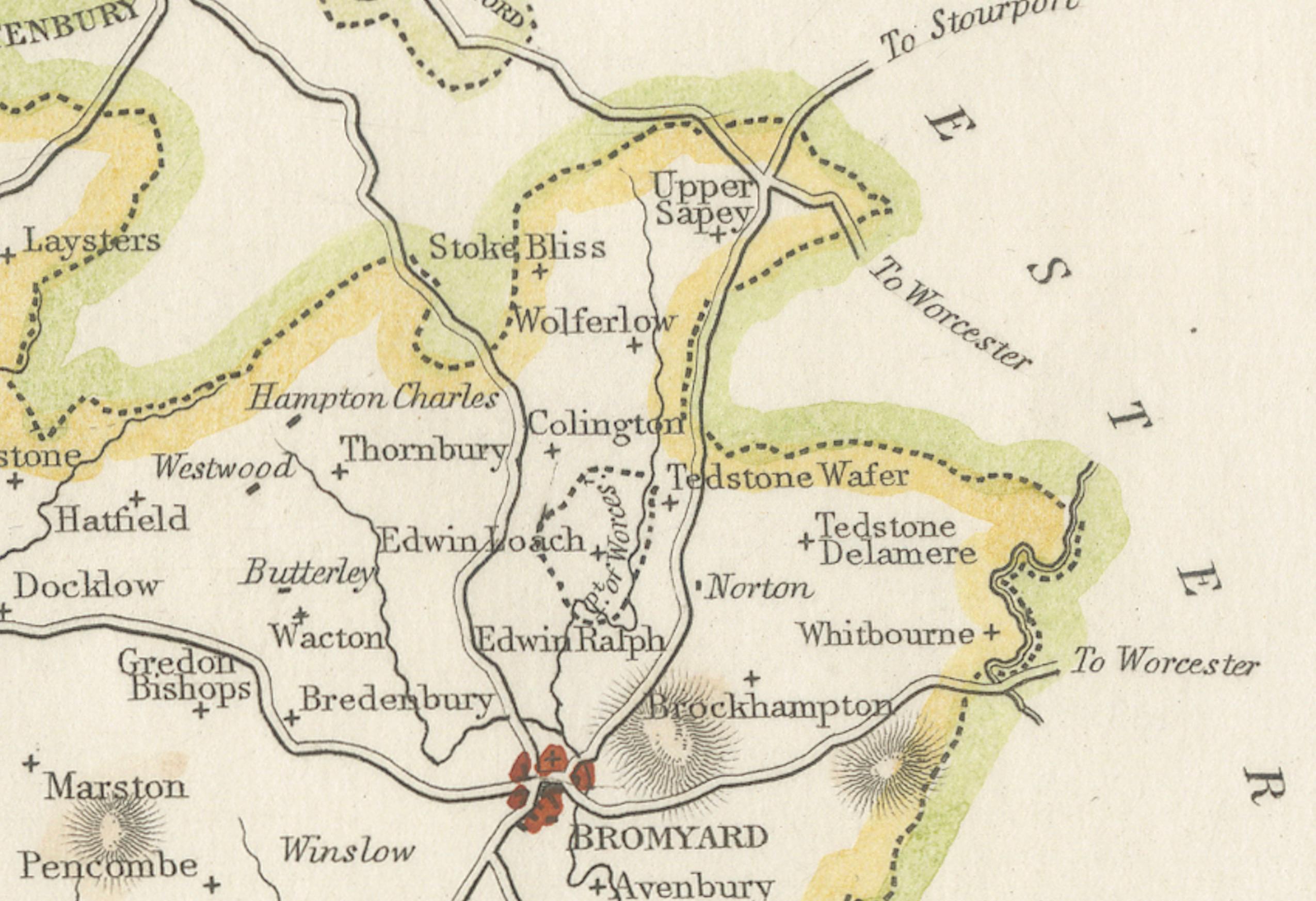
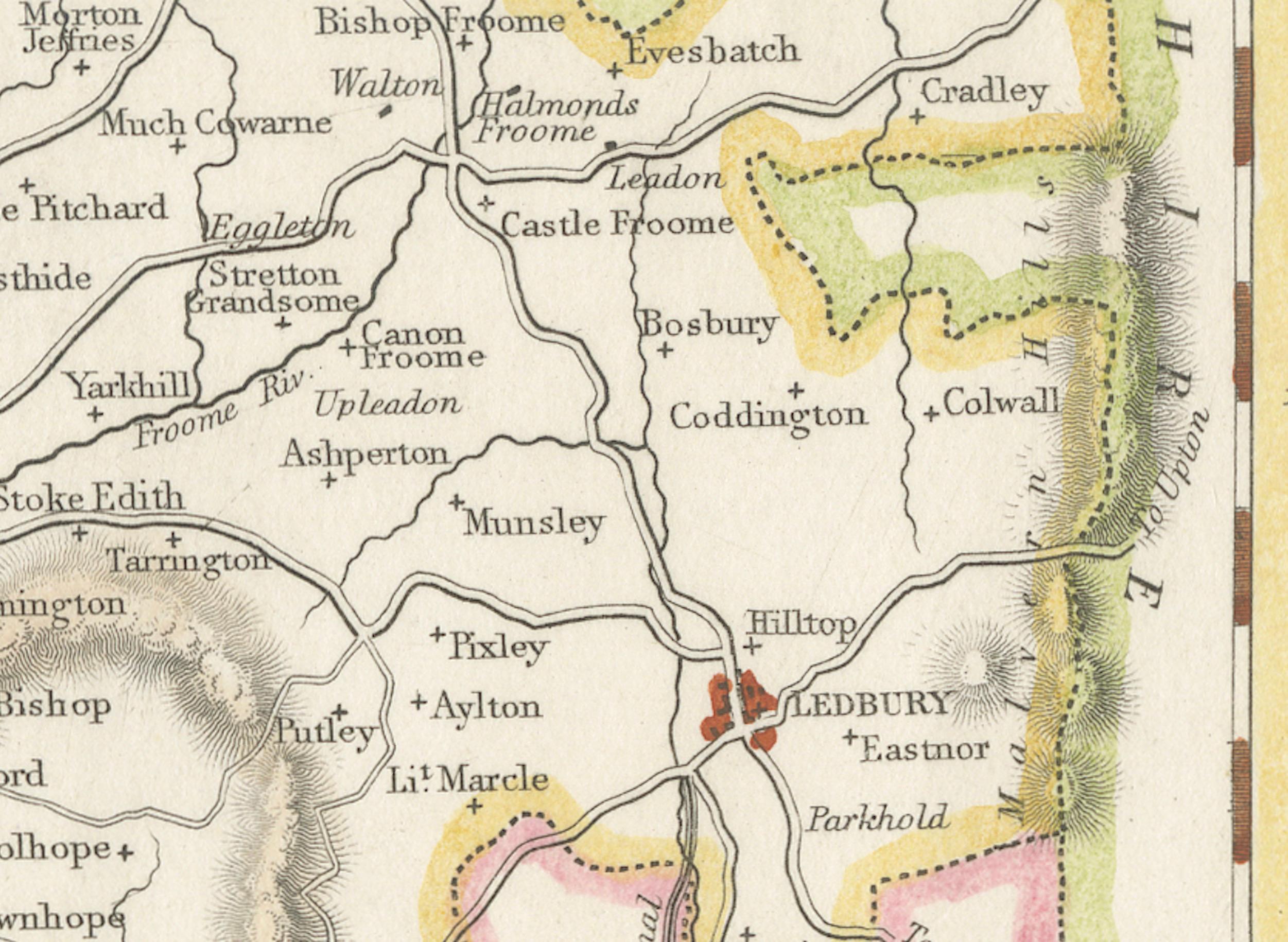
The map is in good antique condition with light even toning and wide margins. The engraving is sharp and the hand coloring remains bright. There are no tears or significant blemishes.
About this sheet
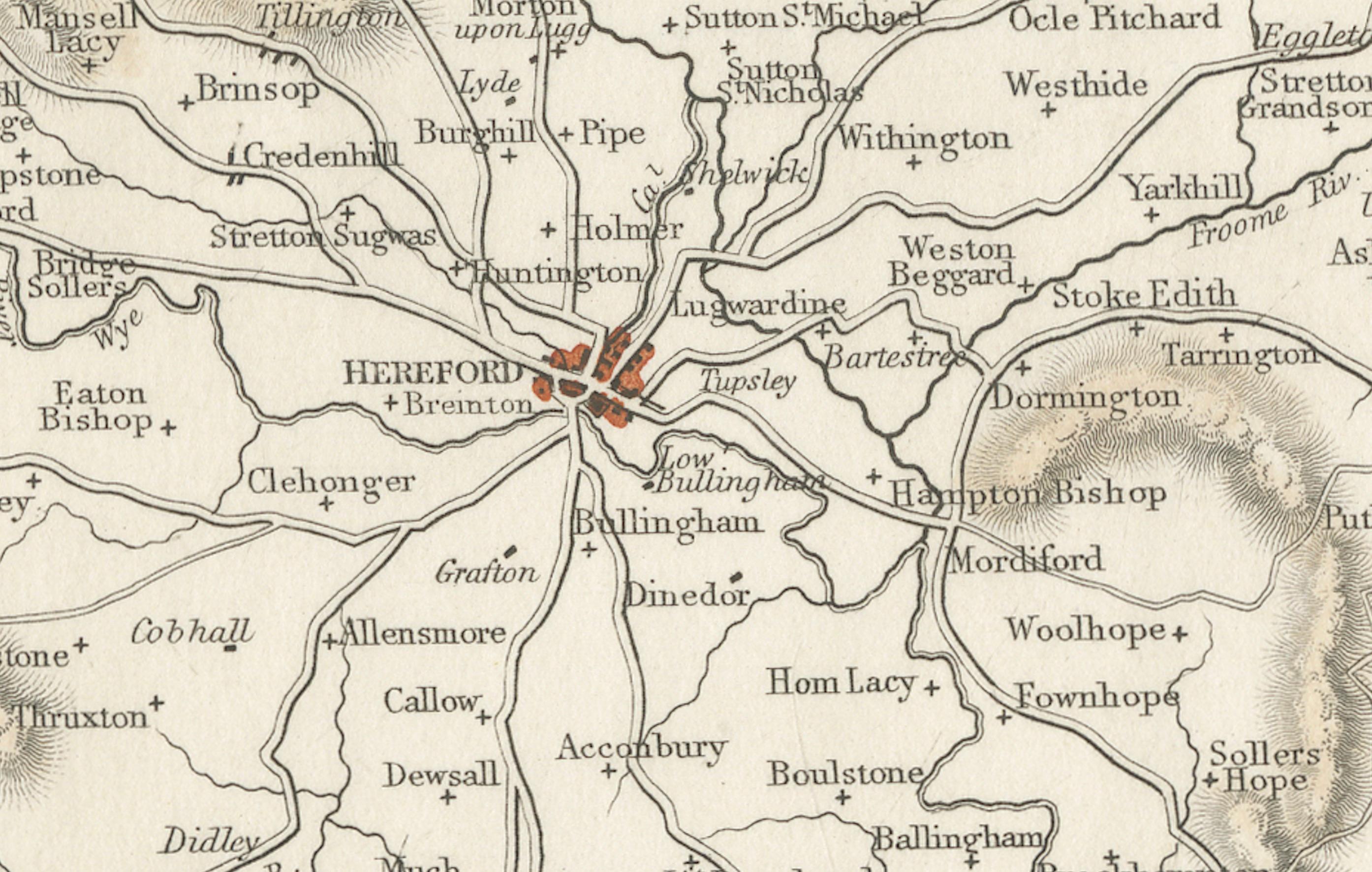
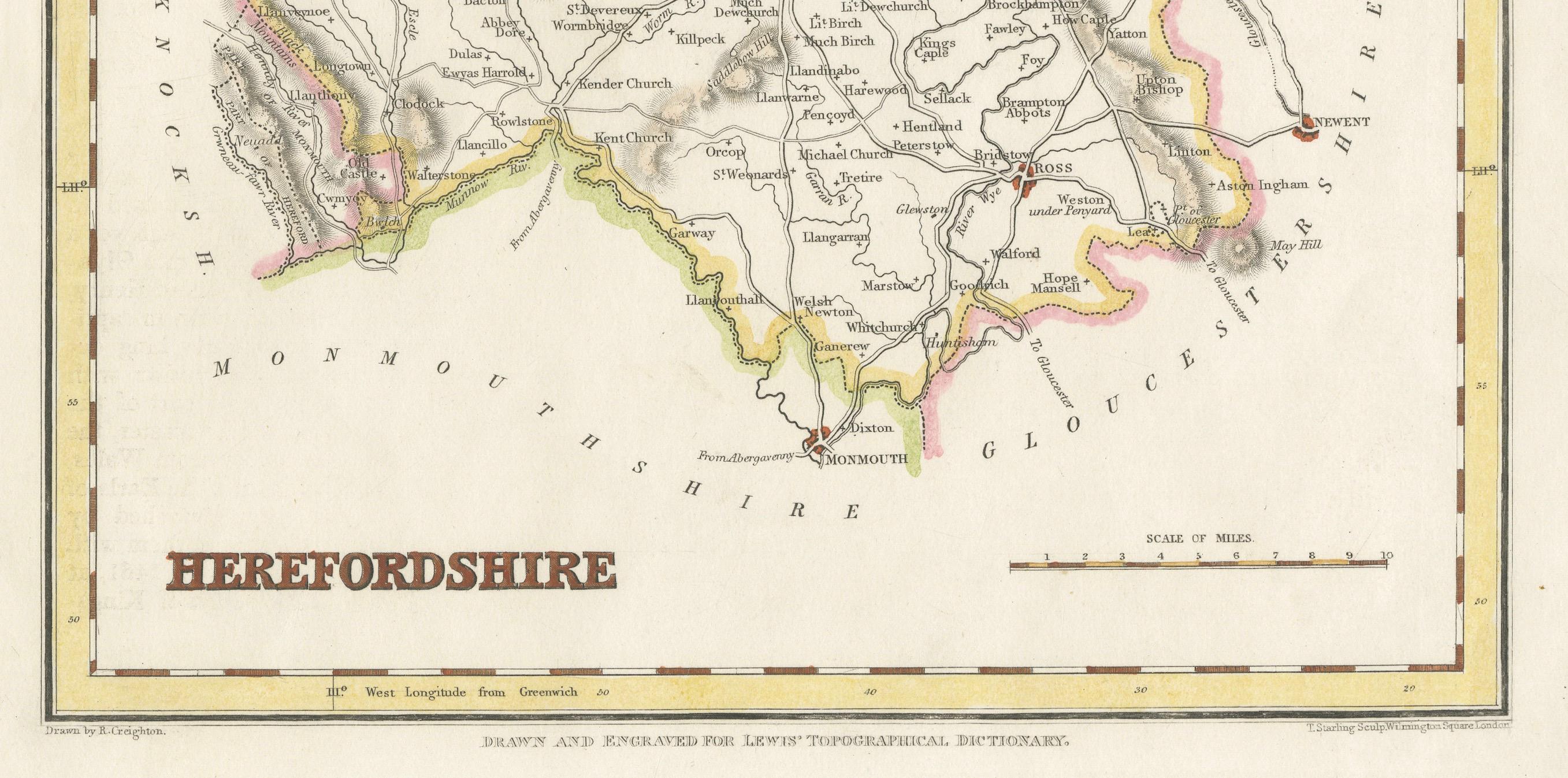
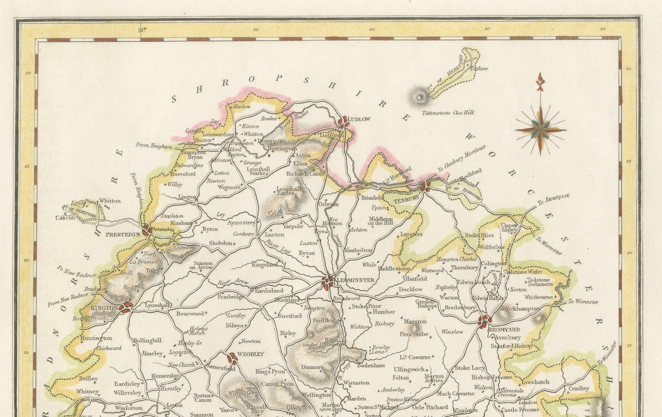
Old Map of Herefordshire by Samuel Lewis 1844 – Hereford Leominster Ross-on-Wye Kington Bromyard This 1844 map of Herefordshire was drawn and engraved for Samuel Lewis’ Topographical Dictionary of England. It features major towns including Hereford, Leominster, Ross-on-Wye, Kington, and Bromyard. The map shows roads, rivers, topographical features, and surrounding counties such as Shropshire, Gloucestershire, and Monmouthshire. Hand-colored borders outline the county and a decorative compass rose enhances its historical charm.
Condition: The map is in good antique condition with light even toning and wide margins. The engraving is sharp and the hand coloring remains bright. There are no tears or significant blemishes.
Framing suggestions: Use an ivory or soft beige acid-free mat to complement the aged paper. A dark wood, antique gold, or soft black frame will bring out the map's classic style. UV-protective glass is recommended to preserve color and detail. A fine choice for traditional interiors, libraries, or heritage-themed décor.
Keywords: Herefordshire map 1844 Samuel Lewis antique map England Hereford Leominster Ross-on-Wye Kington Bromyard Victorian map historical cartography hand-colored county map