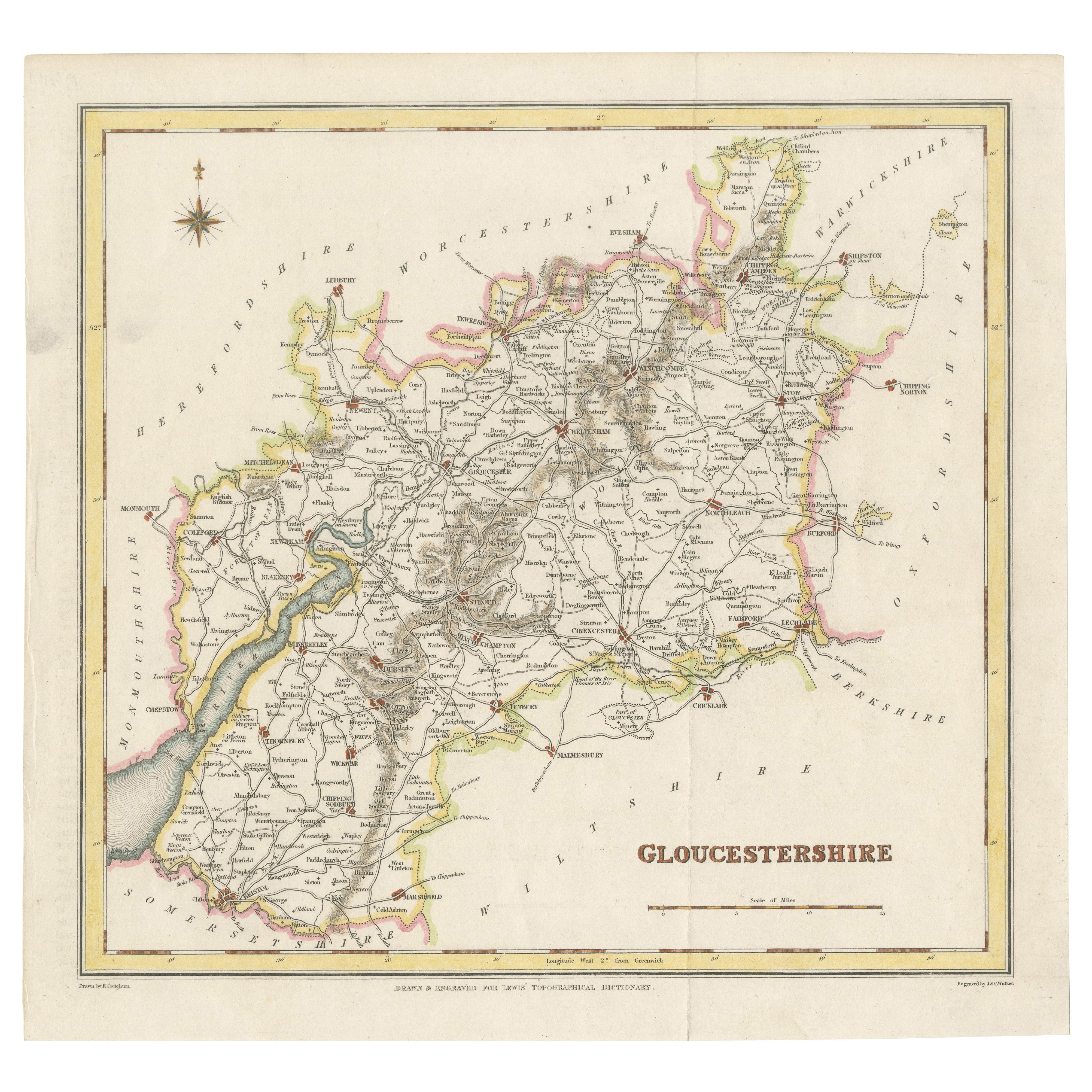
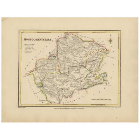
Old Map of Gloucestershire by Samuel Lewis 1844 – Gloucester, Cheltenham, Bristo
€ 190
One of a kind: this is the sheet in the photographs. Ships from Langweer, the Netherlands.
Date
1844
Sheet size
26.5 × 28 cm (10.4 × 11.0 in)
Condition
Good
Reference
BG-03356
Condition
The map is in good condition with slight age toning and wide clean margins. The engraved lines remain sharp and the original hand coloring is well preserved. Folding line as issued. No tears or stains are visible.
About this sheet
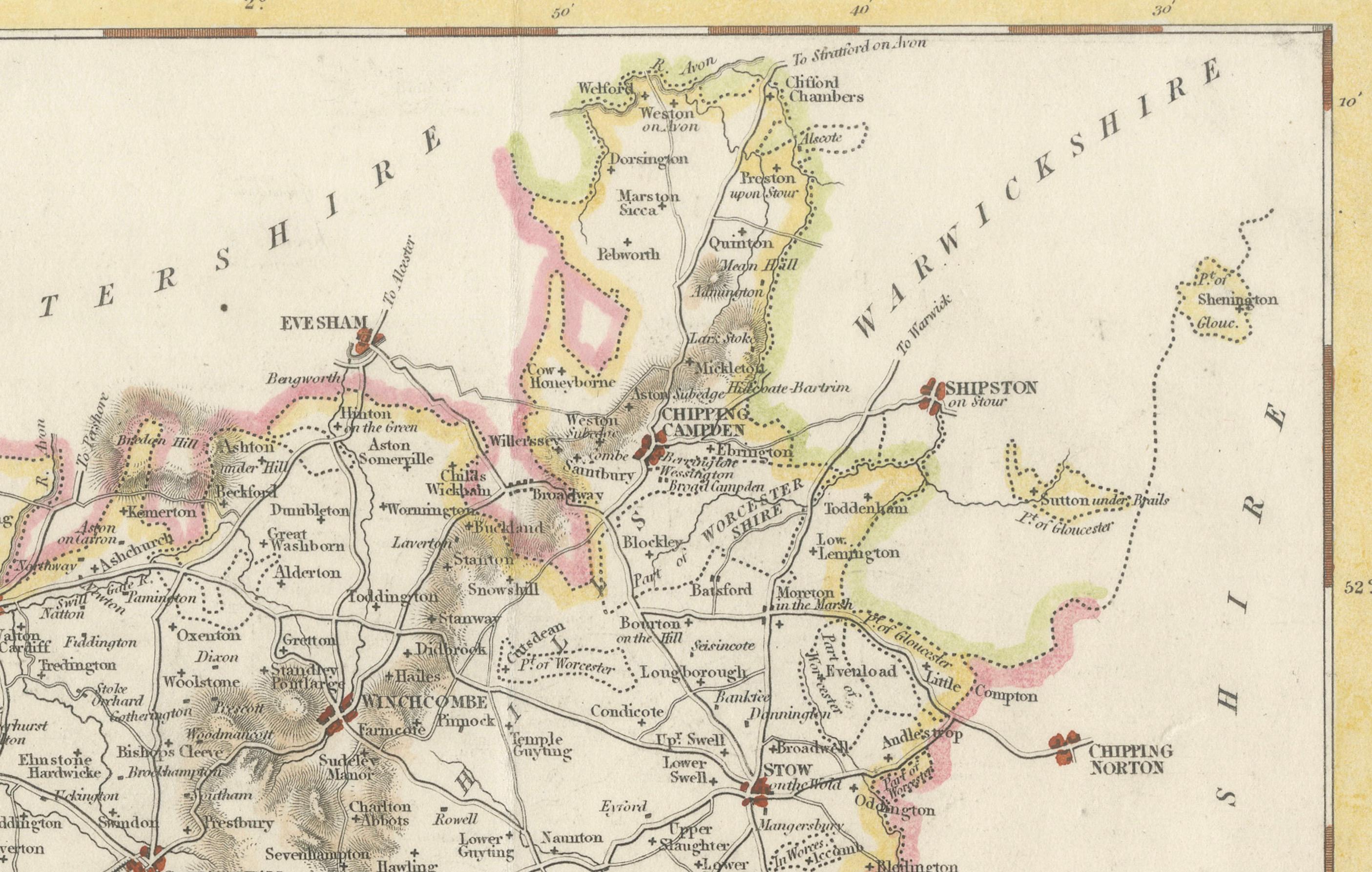
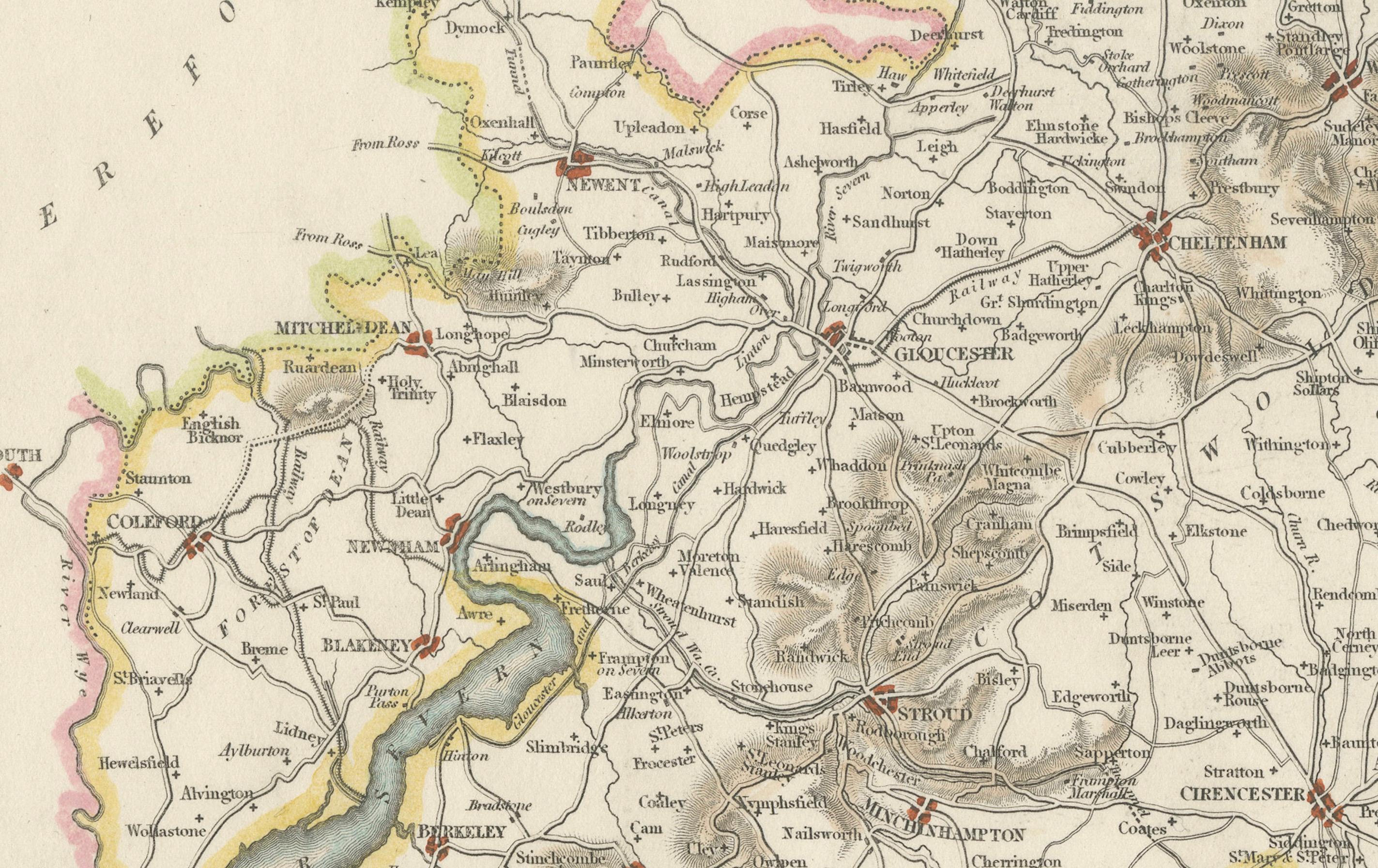
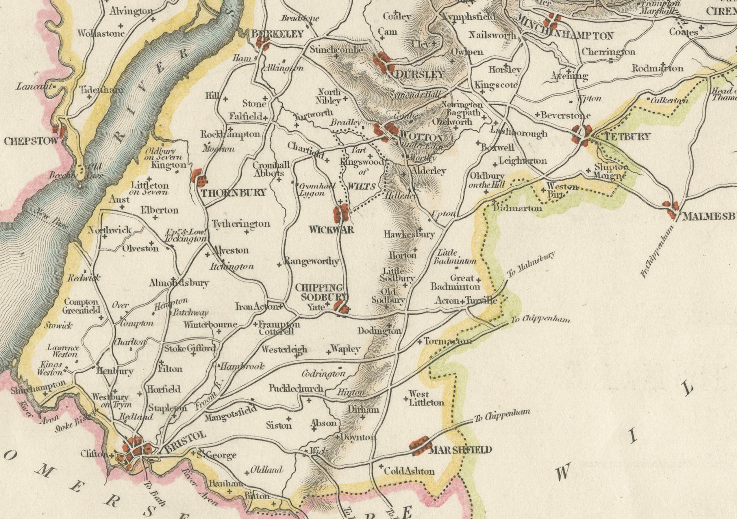
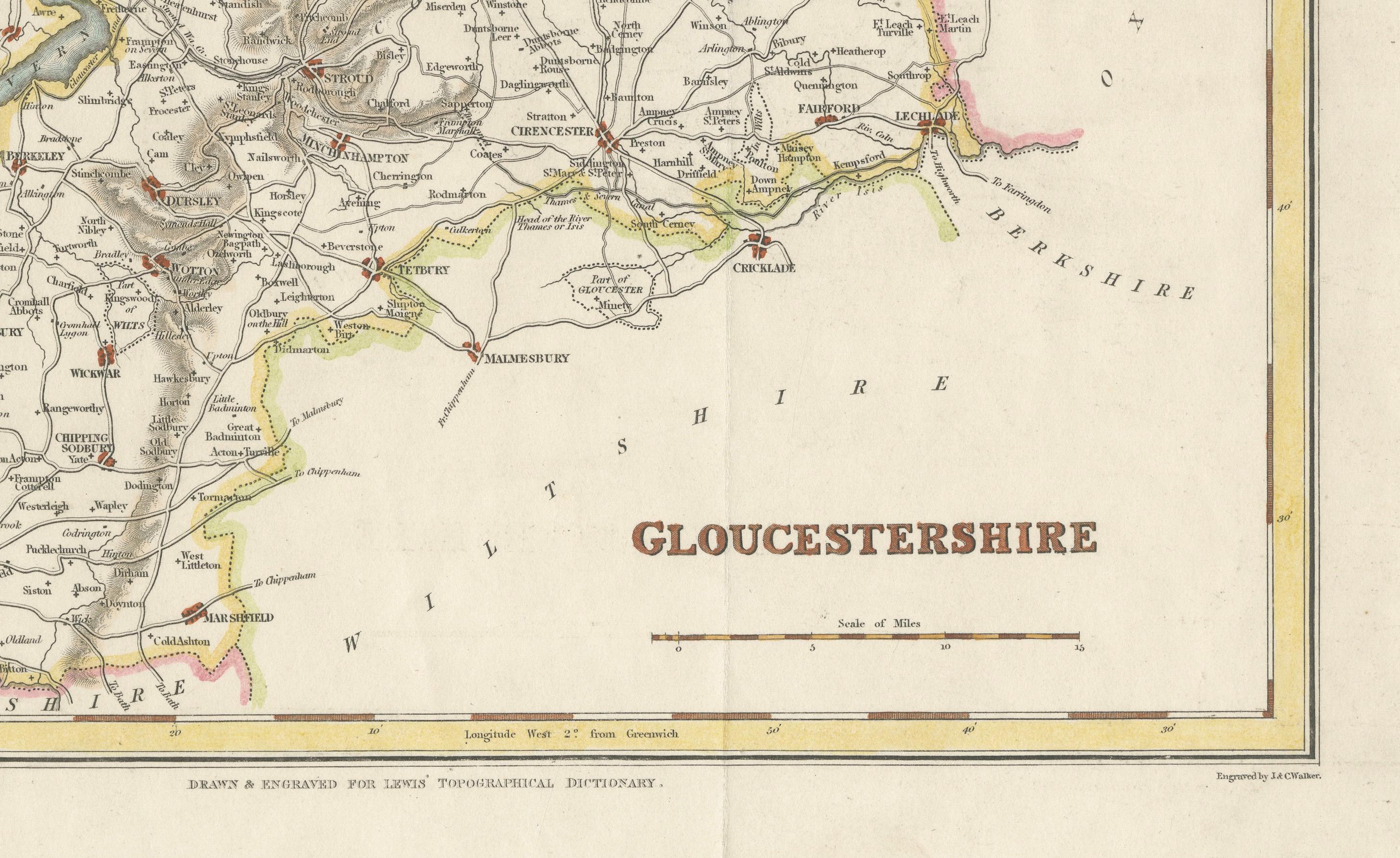
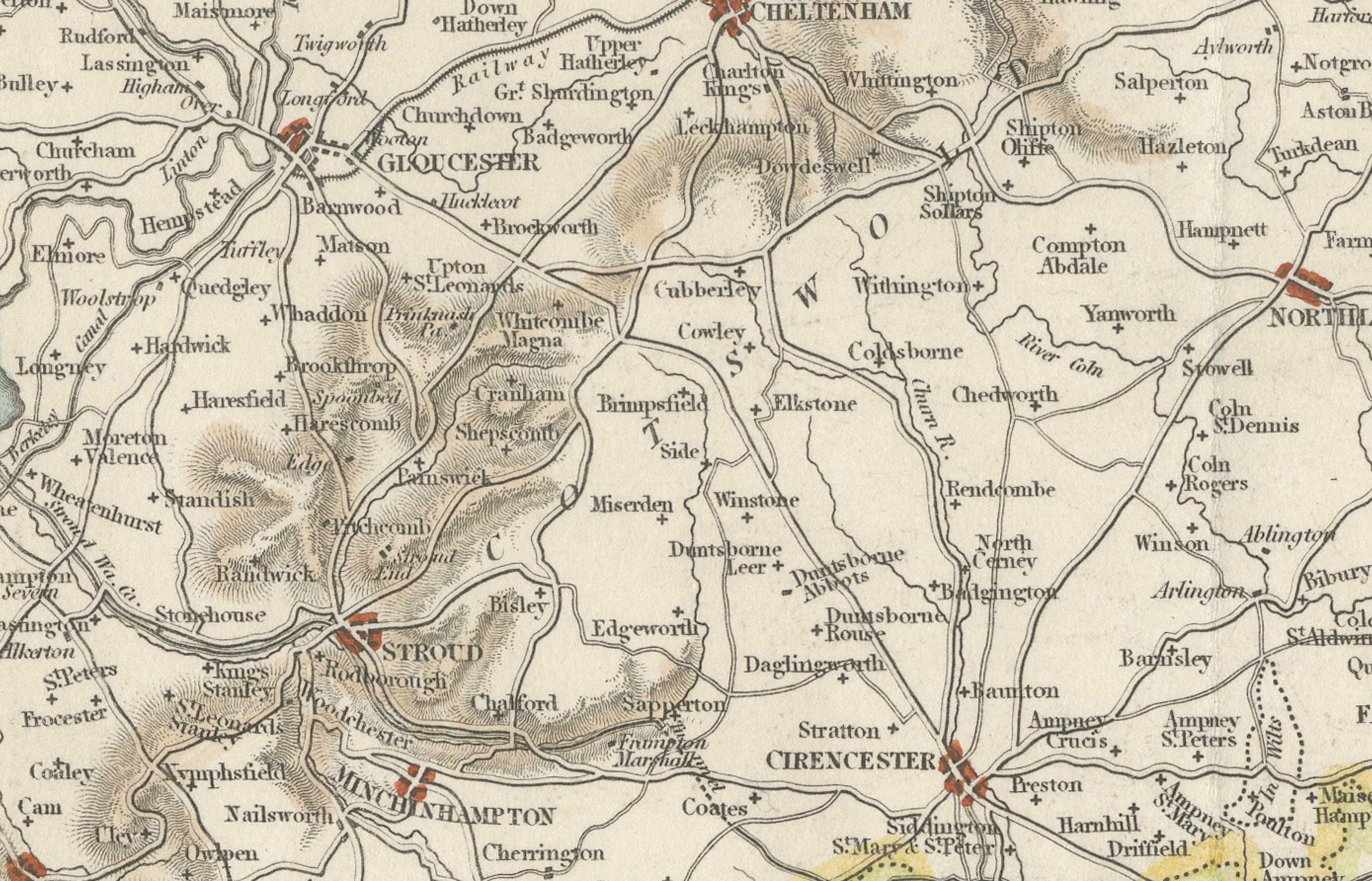
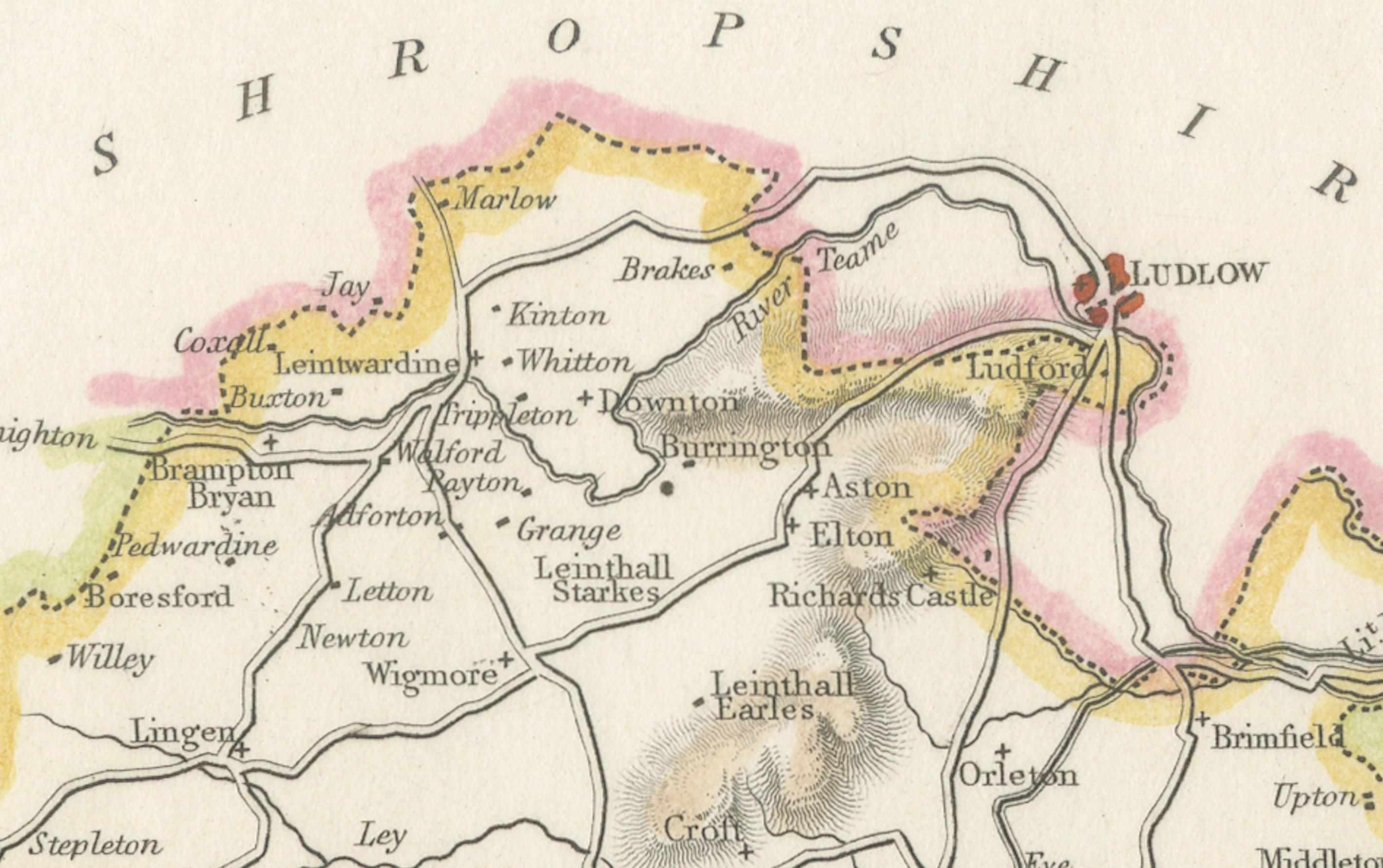
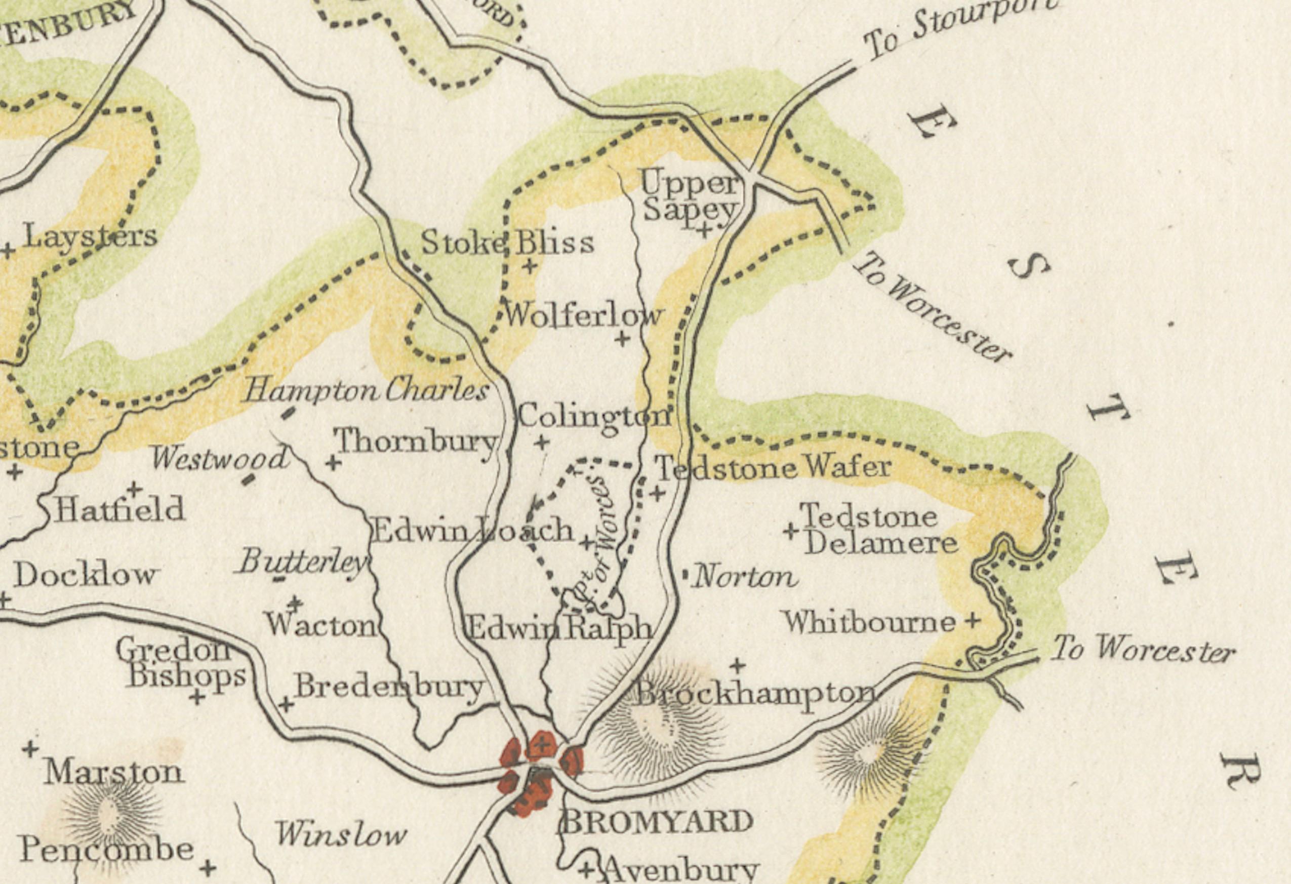
This antique 1844 map of Gloucestershire was engraved for Samuel Lewis’ Topographical Dictionary of England. It includes major towns such as Gloucester, Cheltenham, Bristol, Cirencester, and Tewkesbury. Roads, rivers, and topographical details are finely engraved, with hand-colored borders marking the county boundaries. The map also shows neighboring counties including Herefordshire, Somerset, Wiltshire, and Oxfordshire. A decorative compass rose completes the elegant composition.
Condition: The map is in good condition with slight age toning and wide clean margins. The engraved lines remain sharp and the original hand coloring is well preserved. Folding line as issued. No tears or stains are visible.
Framing suggestions: Use an acid-free mat in ivory or light beige to complement the map’s aged tone. A dark wood, black, or antique gold frame will enhance the historic style. UV-protective glass is recommended for long-term preservation. Ideal for display in a home library, study, or office with a classic interior.
Keywords: Gloucestershire map 1844 Samuel Lewis antique map England Gloucester Cheltenham Bristol Cirencester Tewkesbury historical map Victorian cartography hand-colored county map Cotswolds