About this sheet
Antique map of Roermond and the Duchy of Guelders with rich detail, c.1667
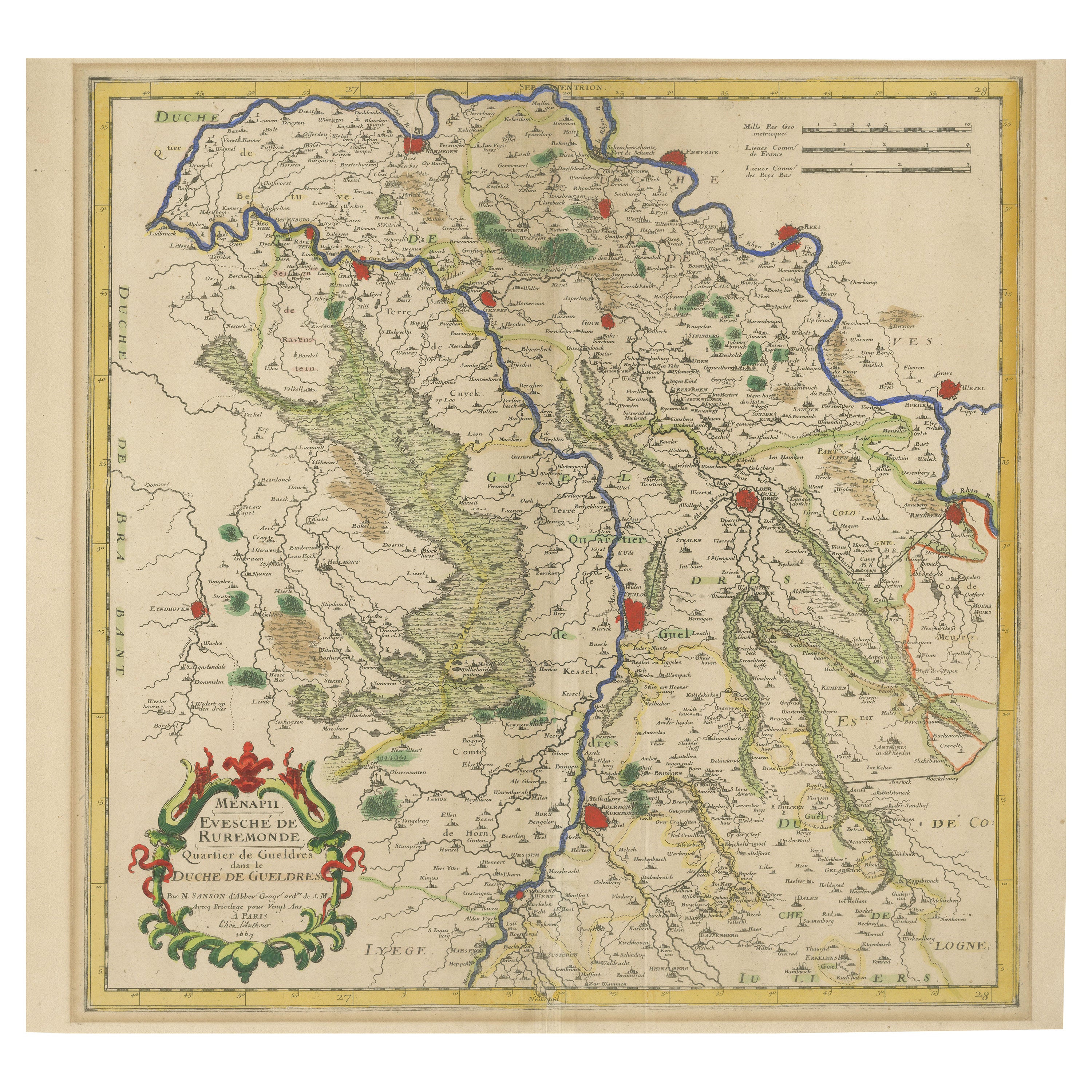
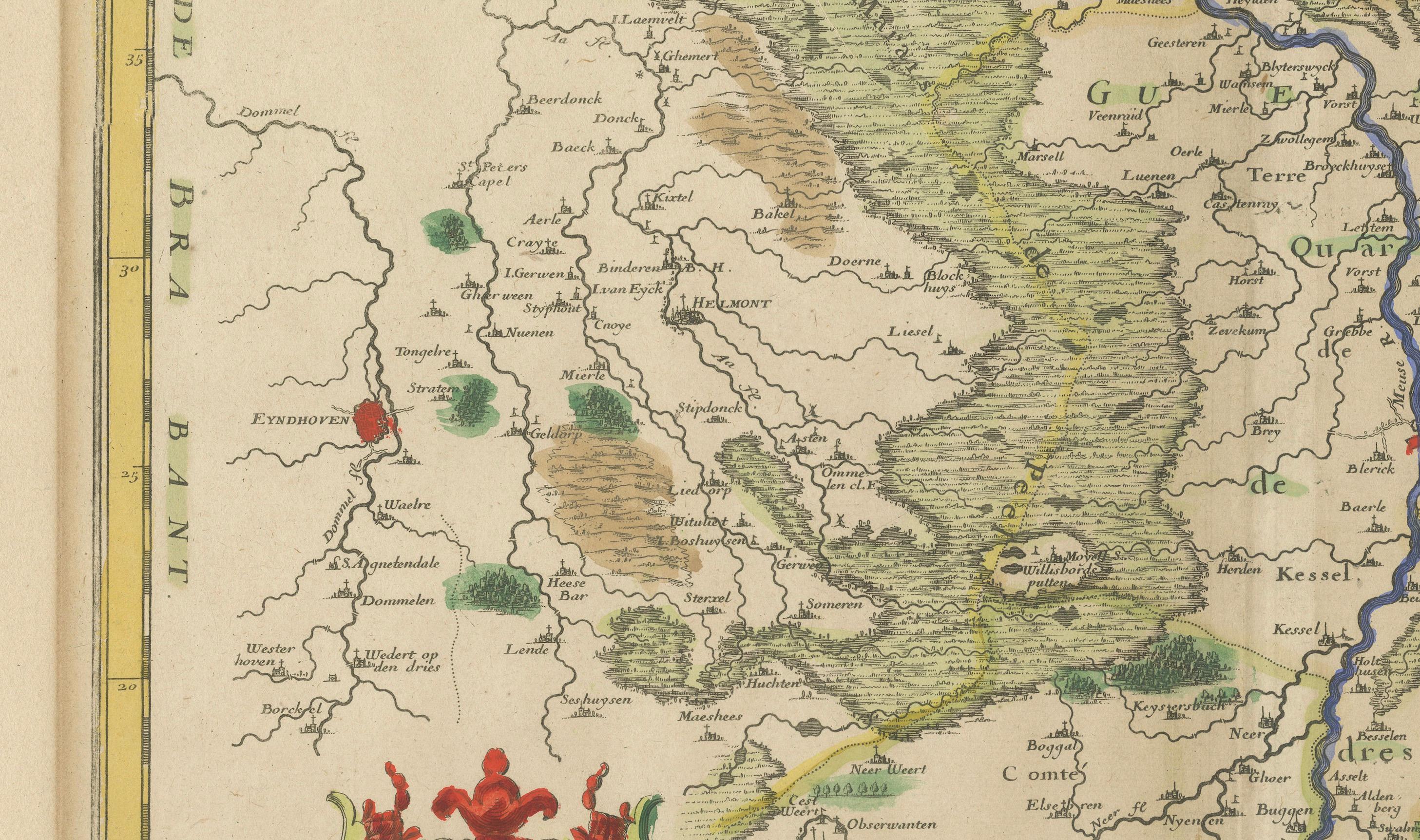
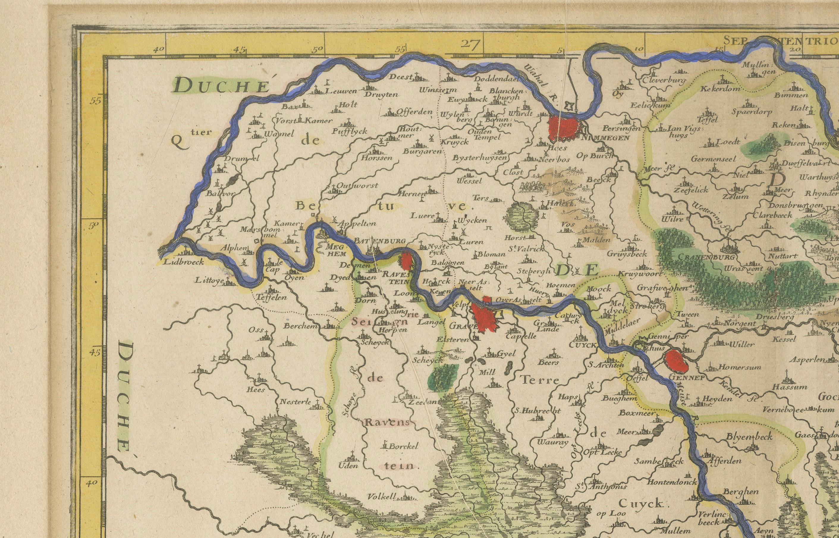
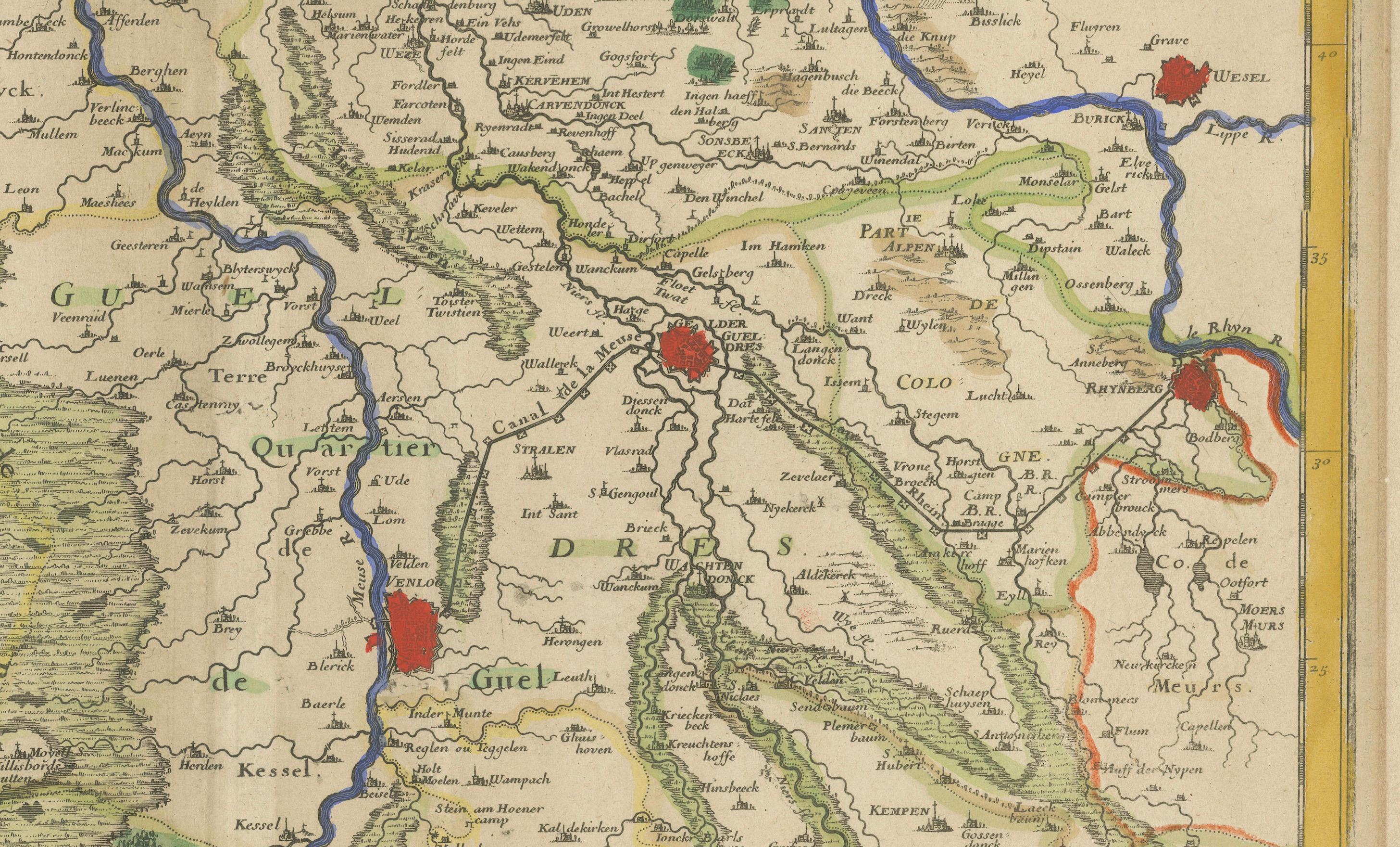
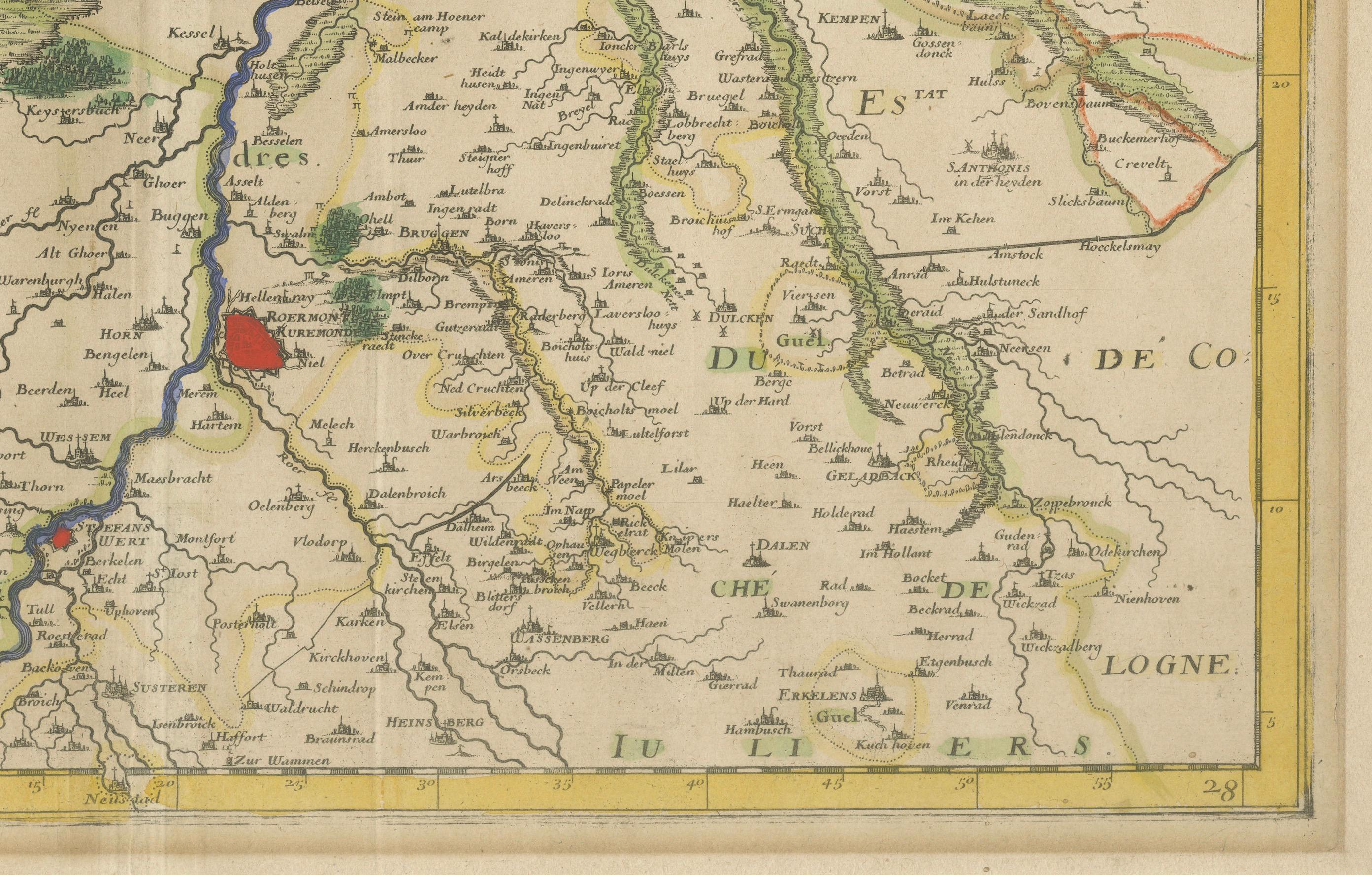
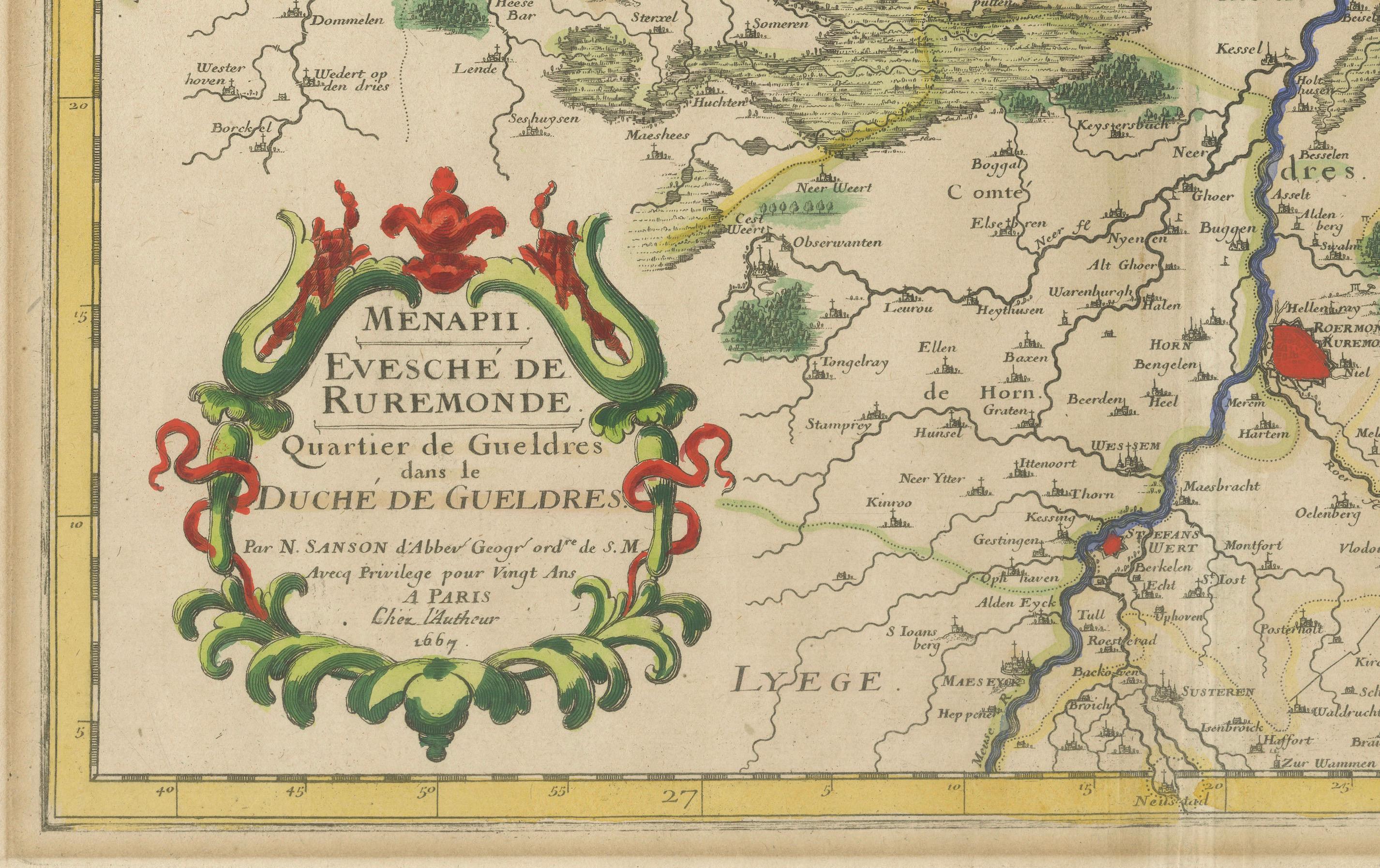
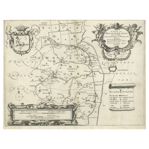
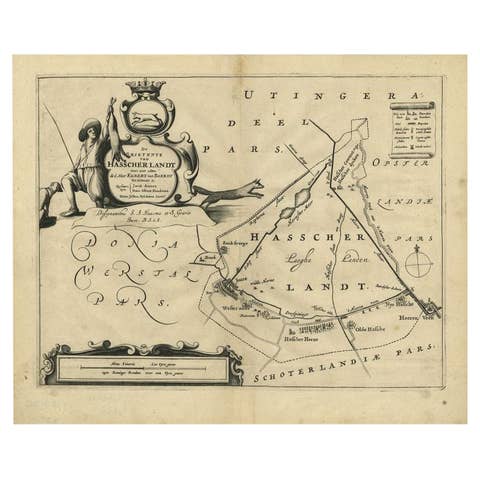
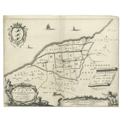
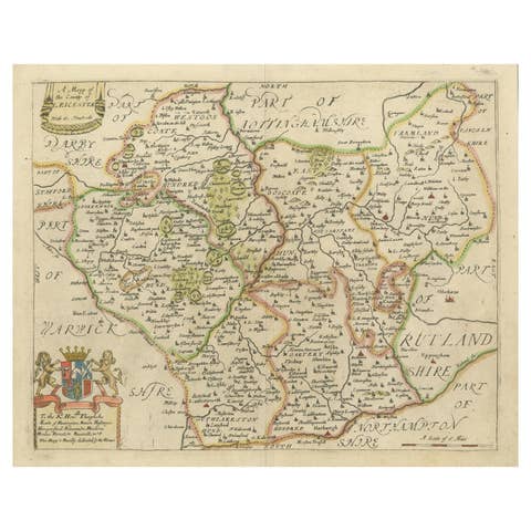
This beautifully hand-colored 17th-century map presents the region of Roermond and the broader Duchy of Guelders (Gelderland), a historically significant area in what is now the southeastern Netherlands. The map, engraved with fine detail and artistic embellishment, provides a striking glimpse into the political and geographic landscape of the time. It includes not only Roermond but a wide swath of surrounding towns, rivers, and territorial boundaries.
The map is titled Menapil Evesché de Ruremonde Quartier de Gueldres du Duché de Gueldres and showcases the ecclesiastical and administrative divisions with great clarity. The winding river Maas (Meuse), which forms a natural boundary in several places, is prominently featured in dark blue, drawing the viewer's eye through the composition. Cities and towns are marked with red symbols, and shaded relief indicates mountain ranges and forests. This stylistic approach helps to visualize the region's terrain and its natural barriers, which played a key role in historical conflicts and trade routes.
The artistic cartouche in the lower left corner is elegantly decorated in red and green flourishes, framing the map’s title in classic 17th-century French. The attention to topographical accuracy, political subdivisions, and decorative elements make this print not only historically significant but also a work of art in its own right.
This map would appeal to collectors of Low Countries cartography, historians interested in the Duchy of Guelders, and interior decorators seeking a sophisticated and authentic antique centerpiece. Its geographic focus on a part of Europe where borders were frequently contested gives it added value for those intrigued by historical shifts in power, religion, and trade.
Condition:
Good condition overall. The hand-coloring remains vibrant, with only minor age-toning. Plate mark is strong. This map has been framed before, hence the difference in the border color outside the image. No tears or major foxing visible.
Framing tips:
To enhance its decorative appeal, consider a classic gold or dark wood frame with a wide, off-white acid-free mat to offset the strong colors. UV-protective glass is recommended to preserve the hand-coloring. The map’s vertical composition and balanced detailing make it ideal for display in studies, libraries, or entrance halls. A float-mount frame could also be an elegant option, showcasing the plate mark and original paper edges.