About this sheet
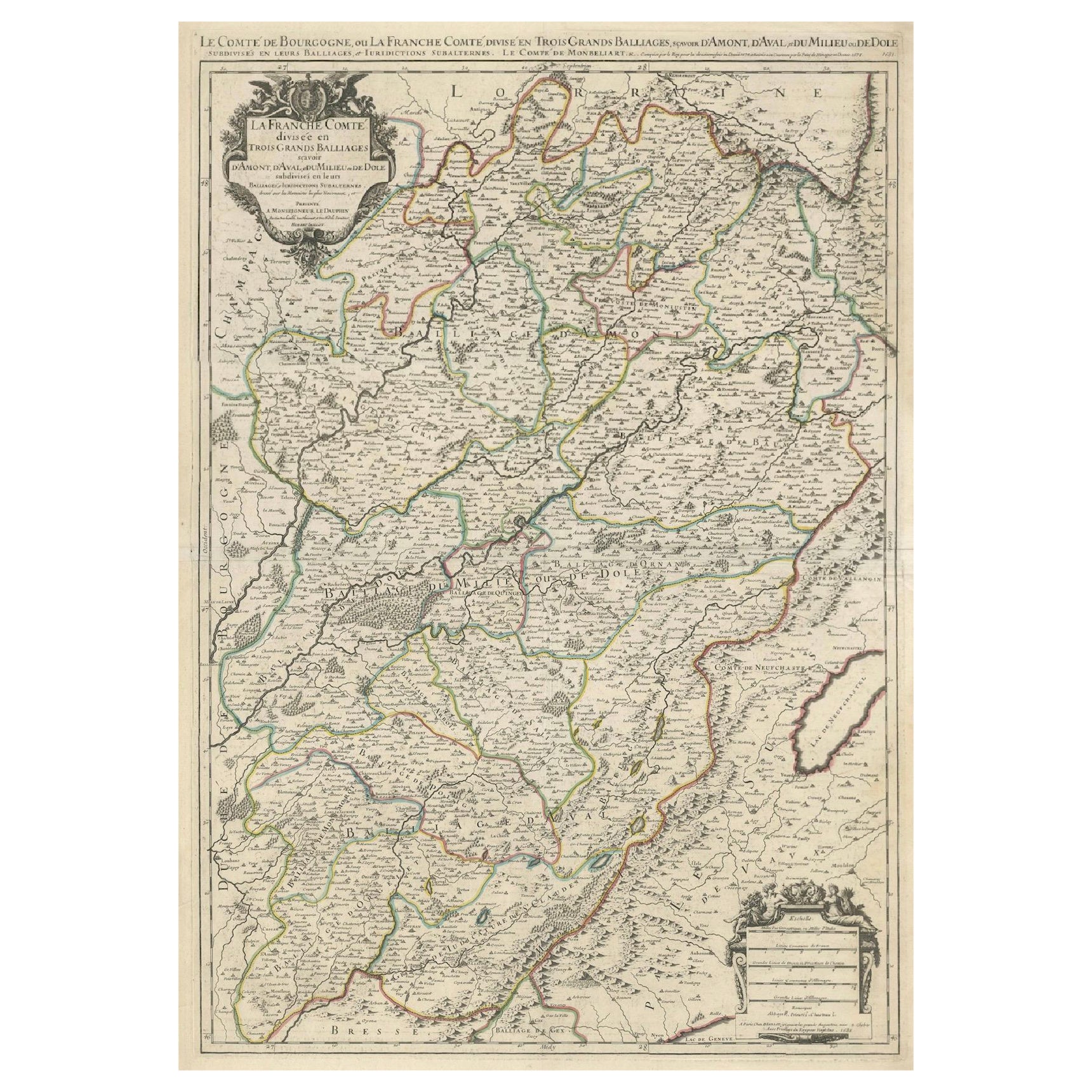
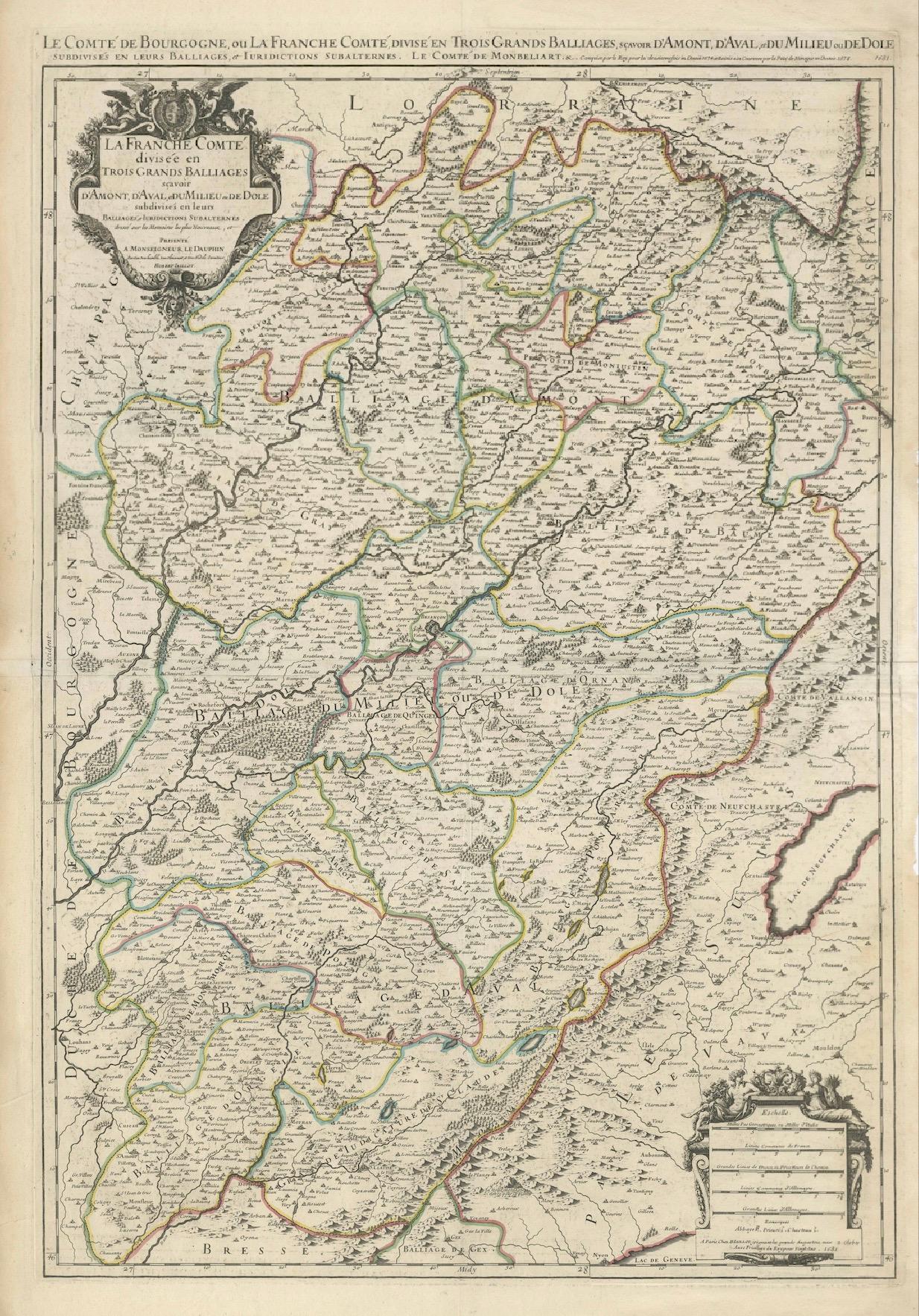
Antique Map of Franche-Comté – “La Franche Comté divisée en Trois Grands Bailliages” by Jaillot, 1681
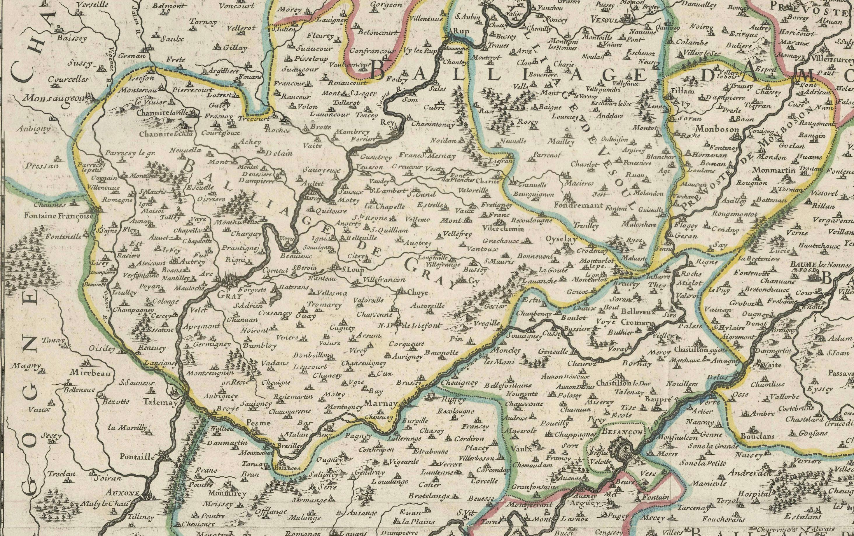
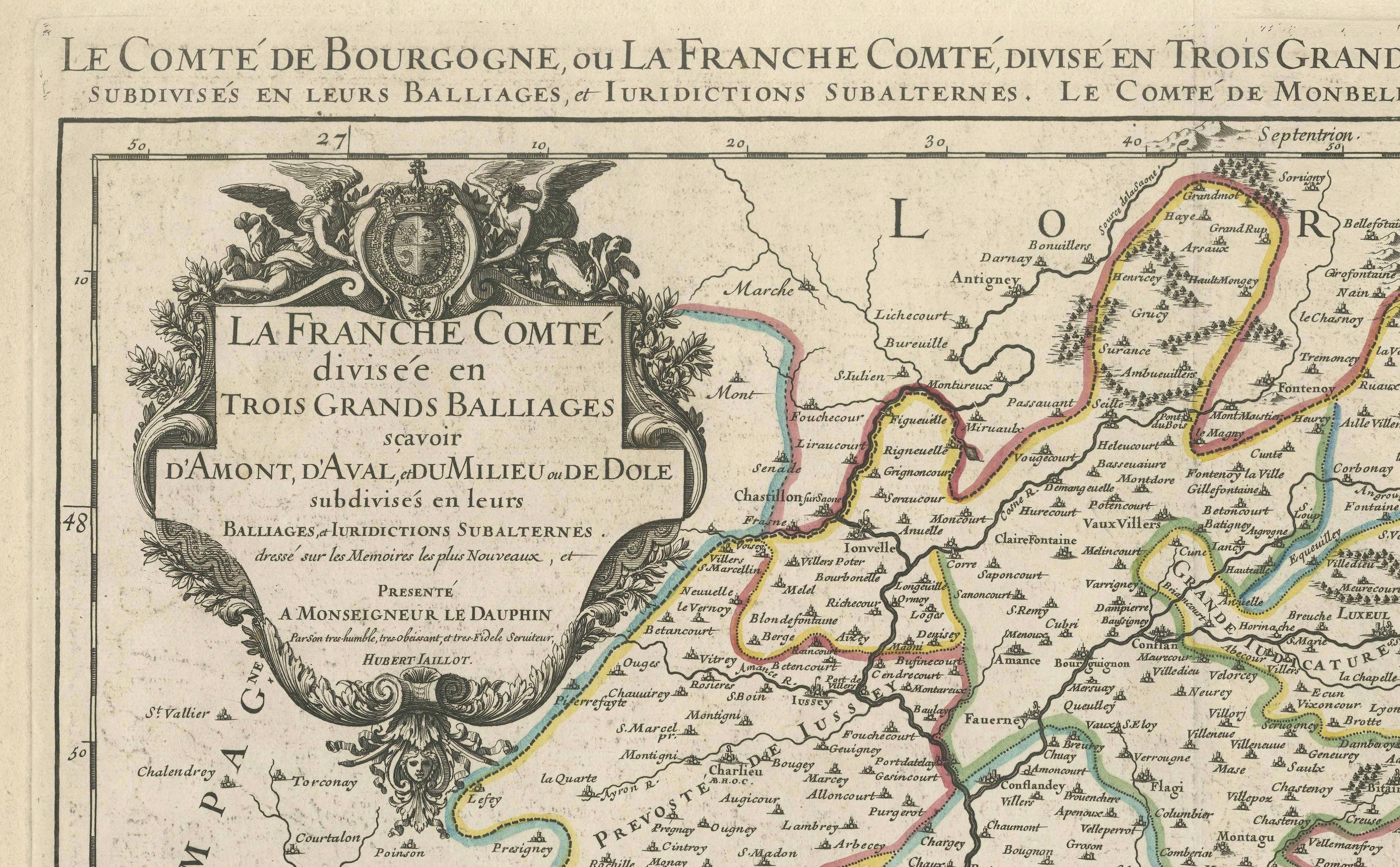
This richly detailed antique map, titled “La Franche Comté divisée en Trois Grands Bailliages,” was published in Paris in 1681 by Alexis-Hubert Jaillot, one of the most prominent French cartographers of the late 17th and early 18th centuries. The map depicts the historical province of Franche-Comté in eastern France, divided into its three principal jurisdictions: Amont, d’Aval, and du Milieu (or de Dole), along with their subordinate bailiwicks and jurisdictions.
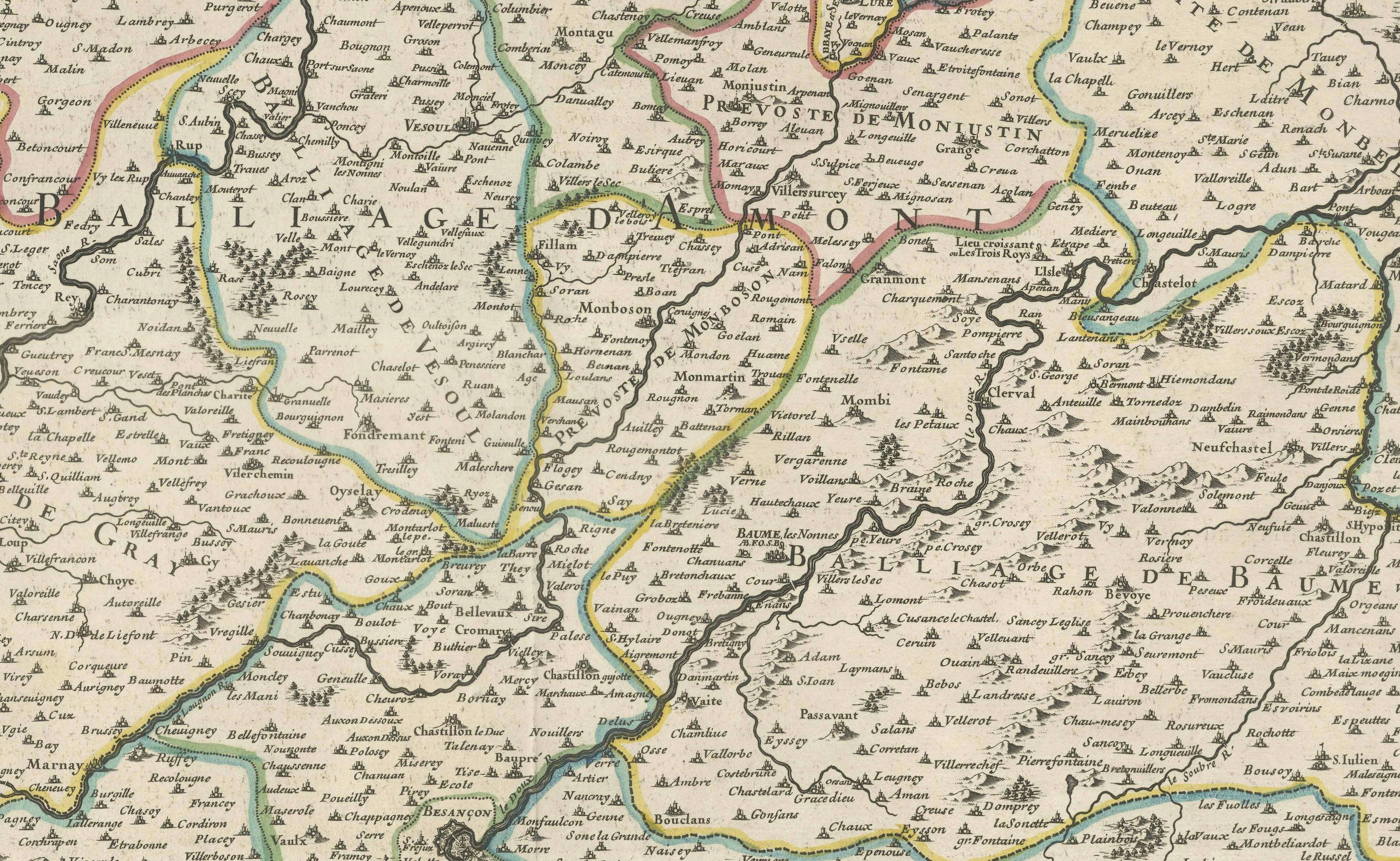
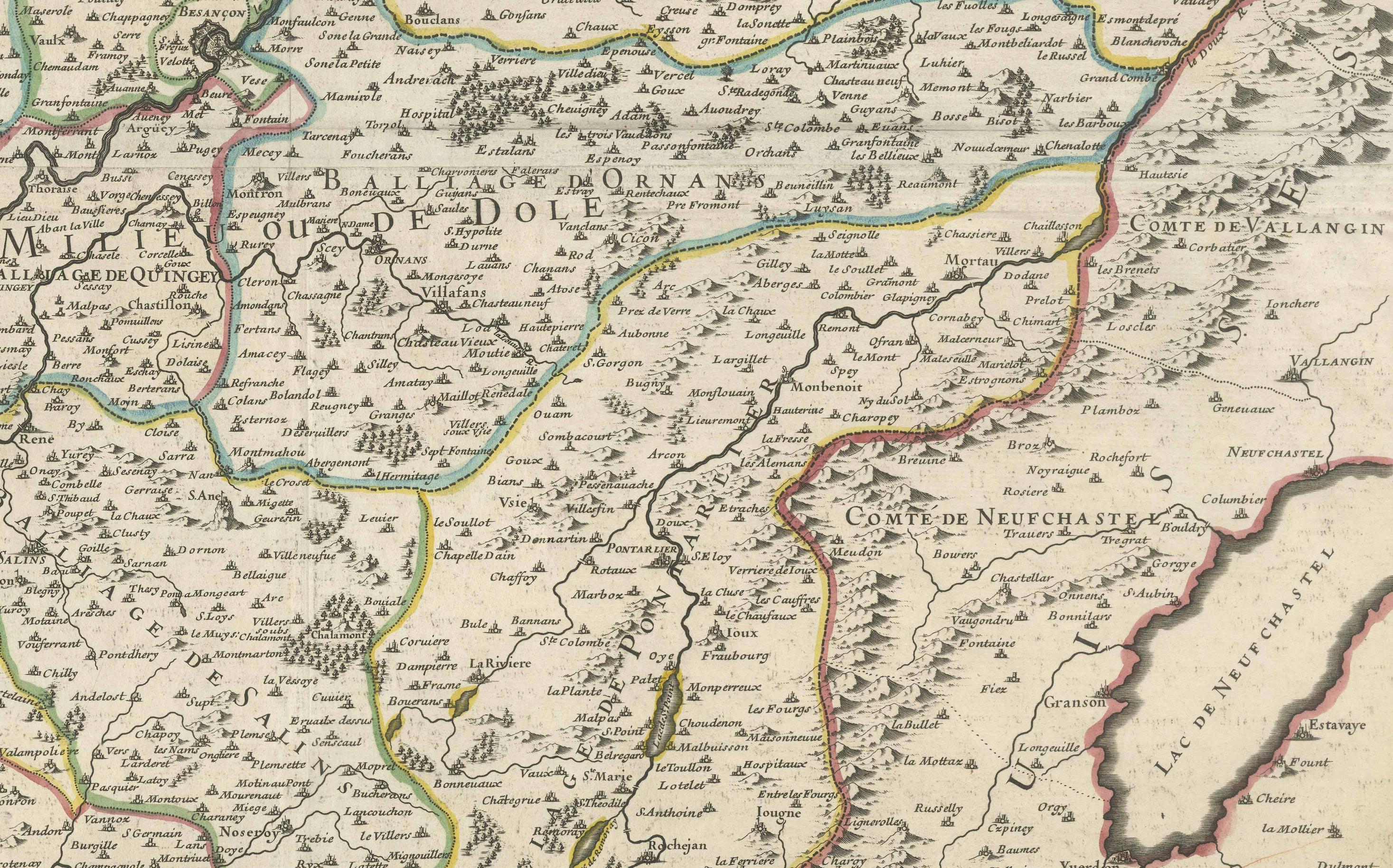
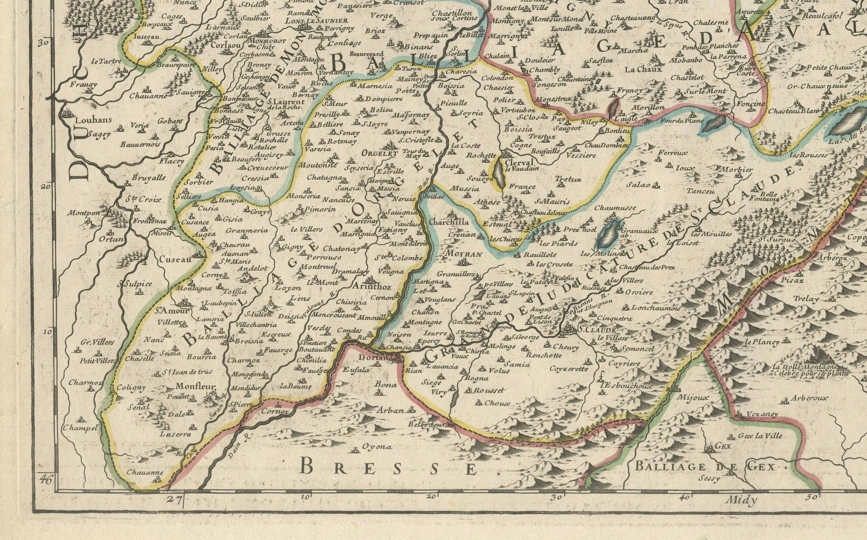
Drawn with exceptional clarity and artistry, the map showcases the complex administrative and judicial divisions of Franche-Comté under the Ancien Régime. Towns, rivers, forests, mountains, and fortifications are meticulously engraved, and political borders are hand-colored in outline. The region’s notable cities—such as Besançon, Dole, Vesoul, and Lons-le-Saunier—are prominently labeled. The cartouche in the upper left is adorned with decorative scrollwork, royal arms, and a dedication to Monseigneur le Dauphin, indicating its official and prestigious character.
Geographically, the map extends from Lorraine in the north to Bresse and Savoy in the south, and from Burgundy in the west to the Swiss territories of Neuchâtel and Geneva in the east. This includes part of the Jura Mountains and the area around Lake Neuchâtel. The inclusion of neighboring counties such as Neufchastel and Montbéliard offers a broader view of the region’s strategic position between France and the Swiss Confederacy.
Jaillot was known for reworking the earlier maps of Nicolas Sanson, often enlarging and enriching them for royal and scholarly audiences. This map, engraved by order of the King and revised by the cartographic academy, reflects both scholarly rigor and decorative finesse, making it highly desirable for collectors of French regional cartography.
Condition: Good condition. Strong impression on laid paper with wide margins. Original hand color in outline. Minor age toning and some marginal staining; centerfold as issued, with no tears or repairs.
Framing tips: Ideal for a classic frame in black, walnut, or giltwood. Use a cream or antique white mat to enhance the fine linework and period coloring. This piece suits libraries, studies, or spaces with historical or French provincial themes.
Technique: Copperplate engraving with original hand color
Maker: Alexis-Hubert Jaillot, Paris, 1681