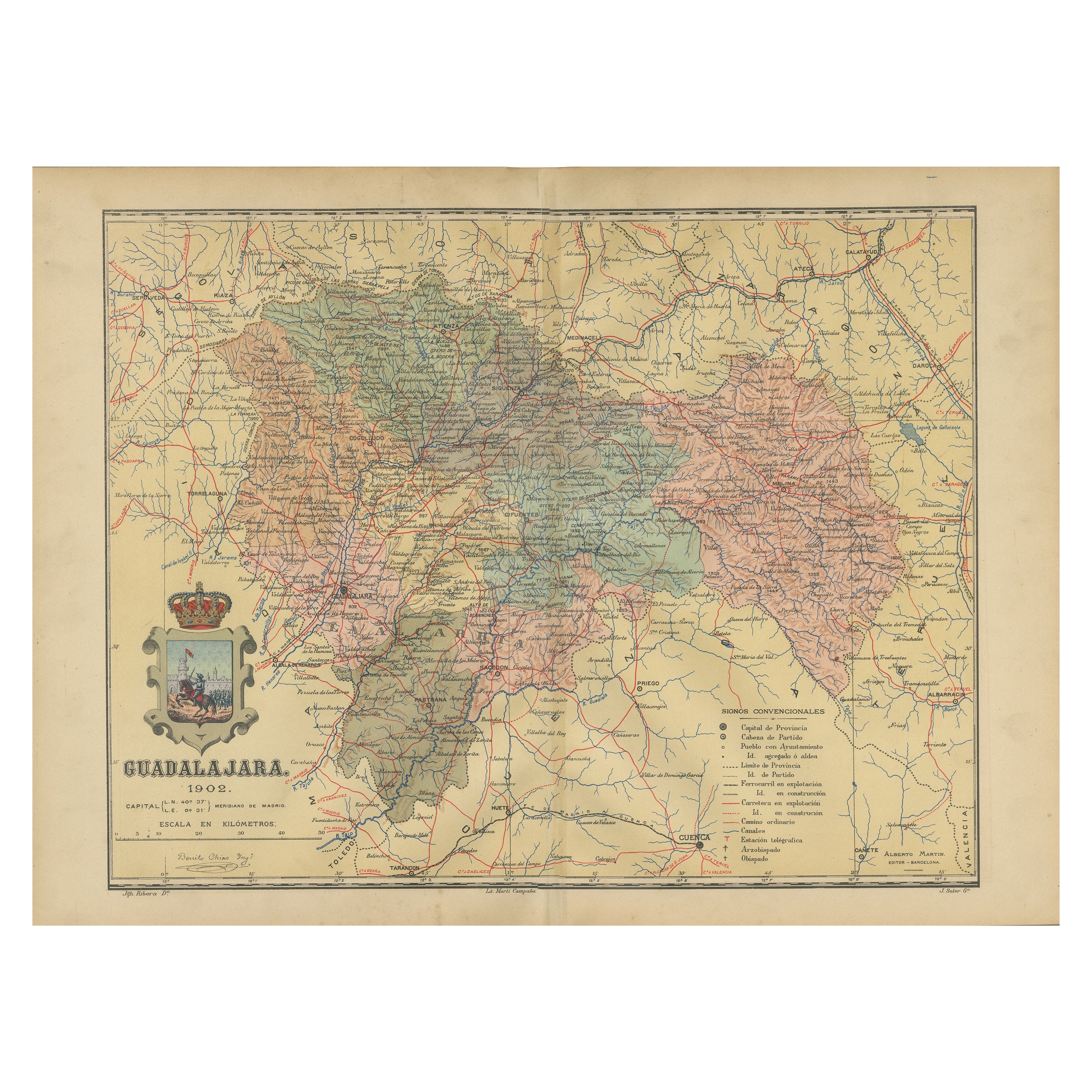
Guadalajara 1902: A Cartographic Image of Castilla-La Mancha's Northern Province
€ 290
One of a kind: this is the sheet in the photographs. Ships from Langweer, the Netherlands.
Date
1902
Sheet size
37.5 × 51 cm (14.8 × 20.1 in)
Condition
Good
Reference
BG-13642-18
Condition
Good condition. Central vertical folding lines as issued. Aged paper with typically warm, yellowish-brown hue, especially around the edges. Some soiling on the borders and one small tear, not affecting the image. Check the images carefully.
About this sheet
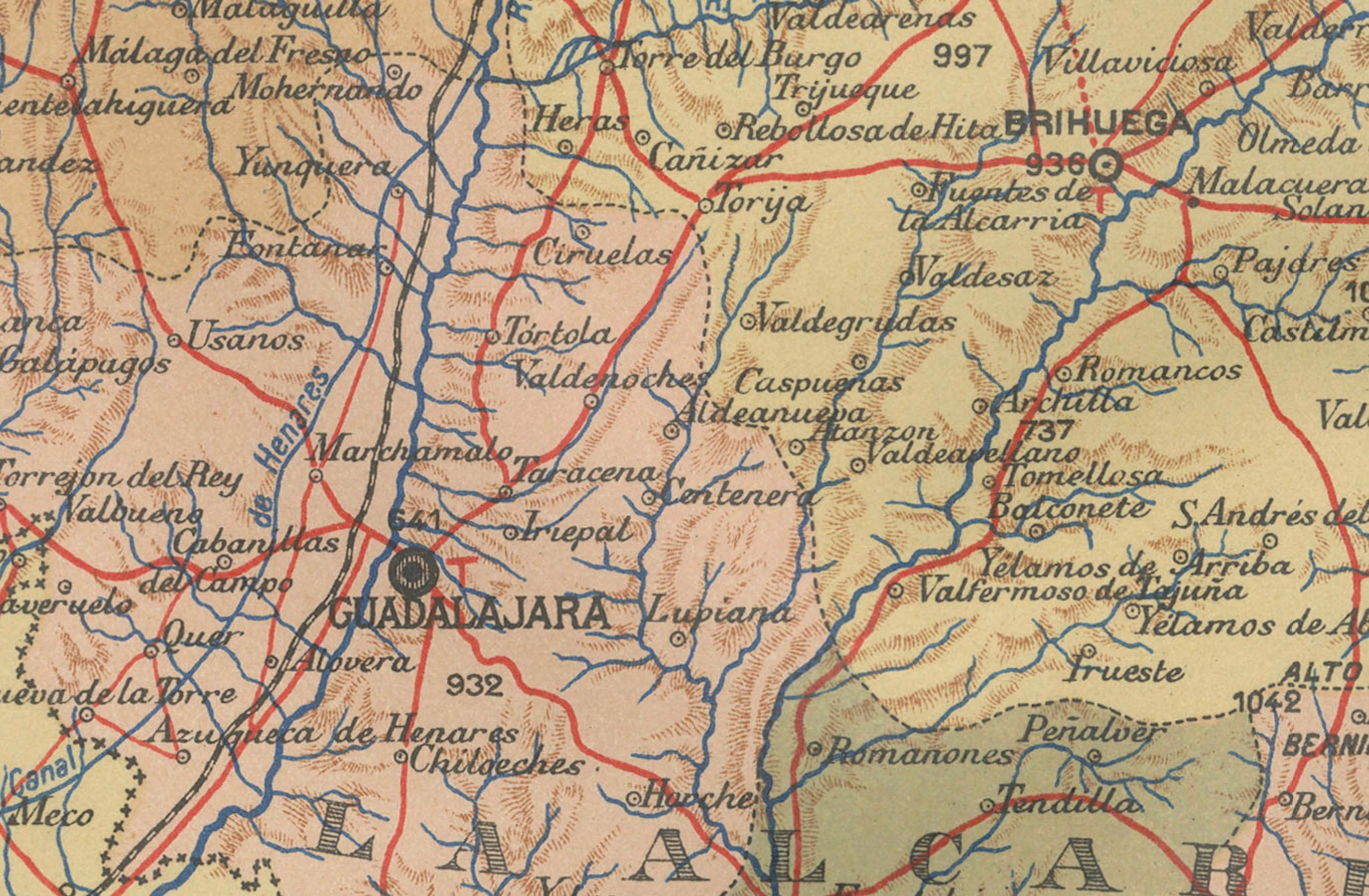
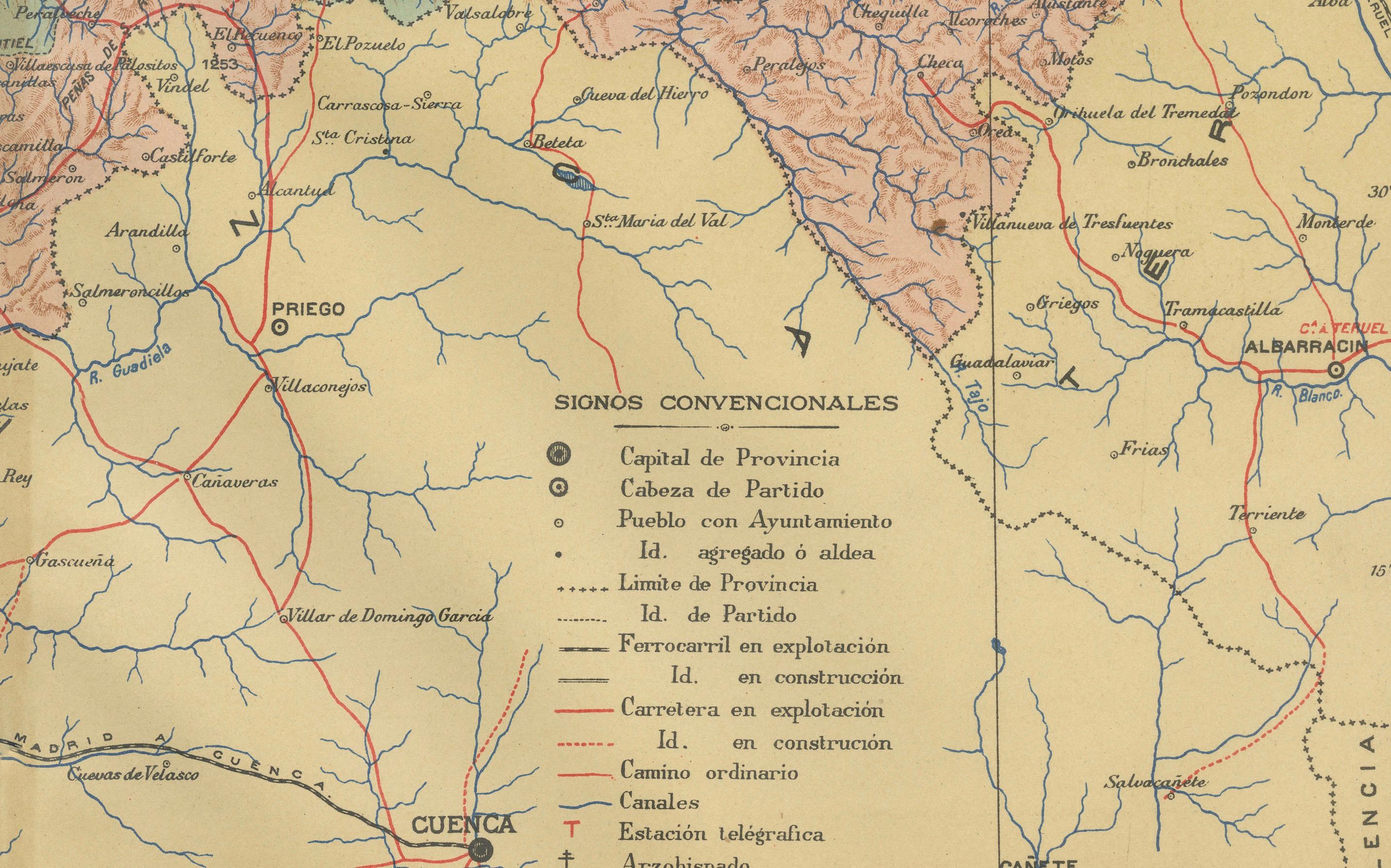
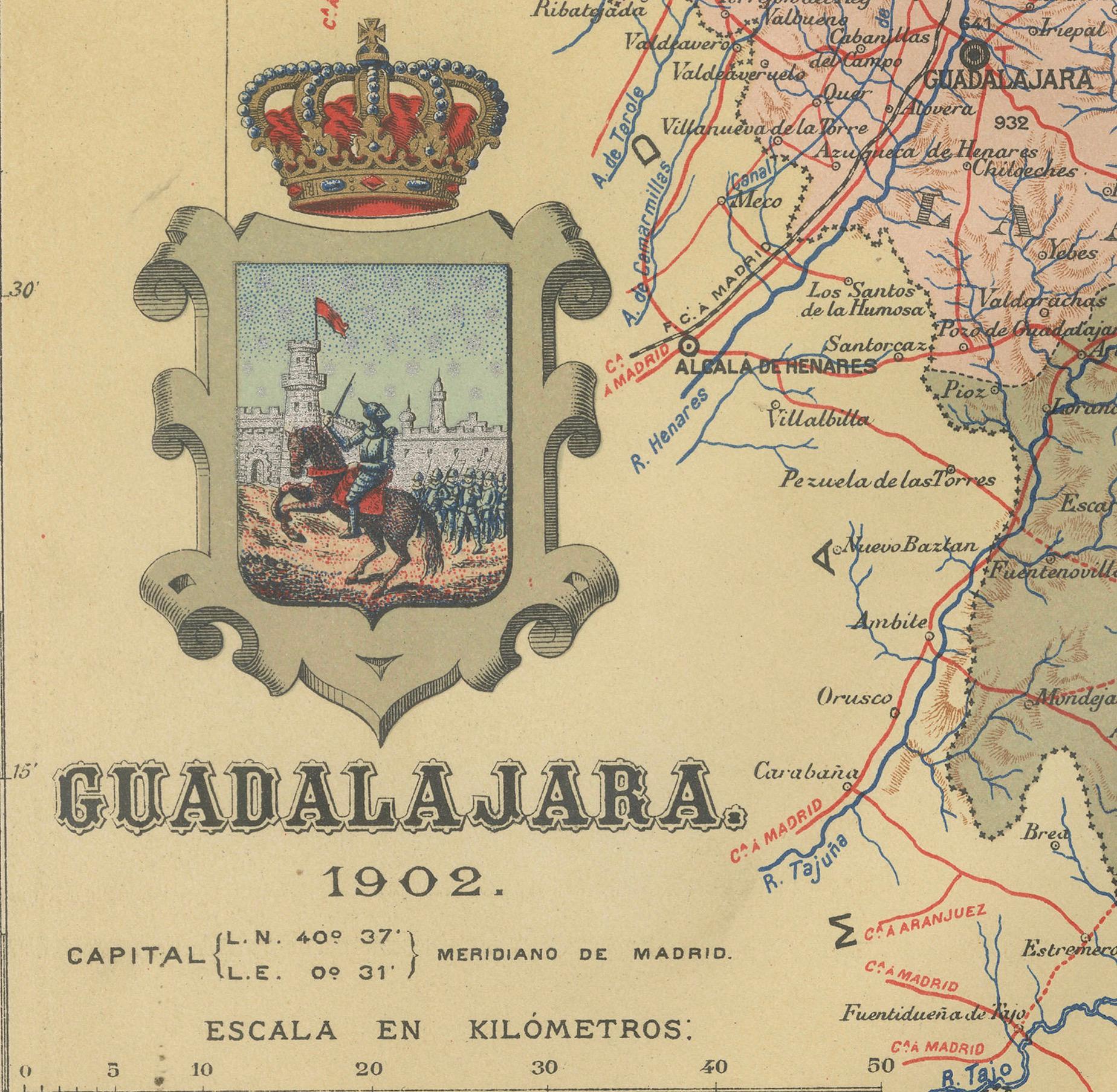
The map illustrates the province of Guadalajara, part of the autonomous community of Castilla-La Mancha in Spain, as of 1902. The map includes various geographic and infrastructural features:
It highlights the diverse landscape, which includes part of the Iberian System mountain range. Blue lines likely represent rivers, including the Henares, which runs through the province. Red lines indicate the roads and railways, showing the infrastructure that connects Guadalajara's towns and cities both internally and with neighboring regions. Symbols mark the locations of cities, towns, and villages, with the capital city of Guadalajara indicated.
The coat of arms of Guadalajara is prominently featured, reflecting the historical significance of the region with symbols like the castle and the lion.
About the province of Guadalajara:
Guadalajara is known for its rich history and cultural heritage, which includes medieval castles, churches, and the walled town of Sigüenza. The province's geography features significant natural spaces, such as the Alto Tajo Natural Park. Guadalajara's economy has traditionally been based on agriculture and livestock, but also includes industry and services, partly due to its proximity to Madrid. The area is known for its traditional festivals, such as La Caballada de Atienza, and for crafts like black pottery from Cogolludo. The architecture of the province bears witness to various cultural influences over the centuries, including Romanesque and Cistercian monuments.