Cartographic Survey of Pontevedra, 1902: Crossroads of Galicia"
€ 320
One of a kind: this is the sheet in the photographs. Ships from Langweer, the Netherlands.
Date
1902
Sheet size
51 × 37.5 cm (20.1 × 14.8 in)
Condition
Good
Reference
BG-13642-34
Condition
Good condition. Central vertical folding lines as issued. Aged paper with typically warm, yellowish-brown hue, especially around the edges. A light brown discoloring along the fold. Check the images carefully.
About this sheet
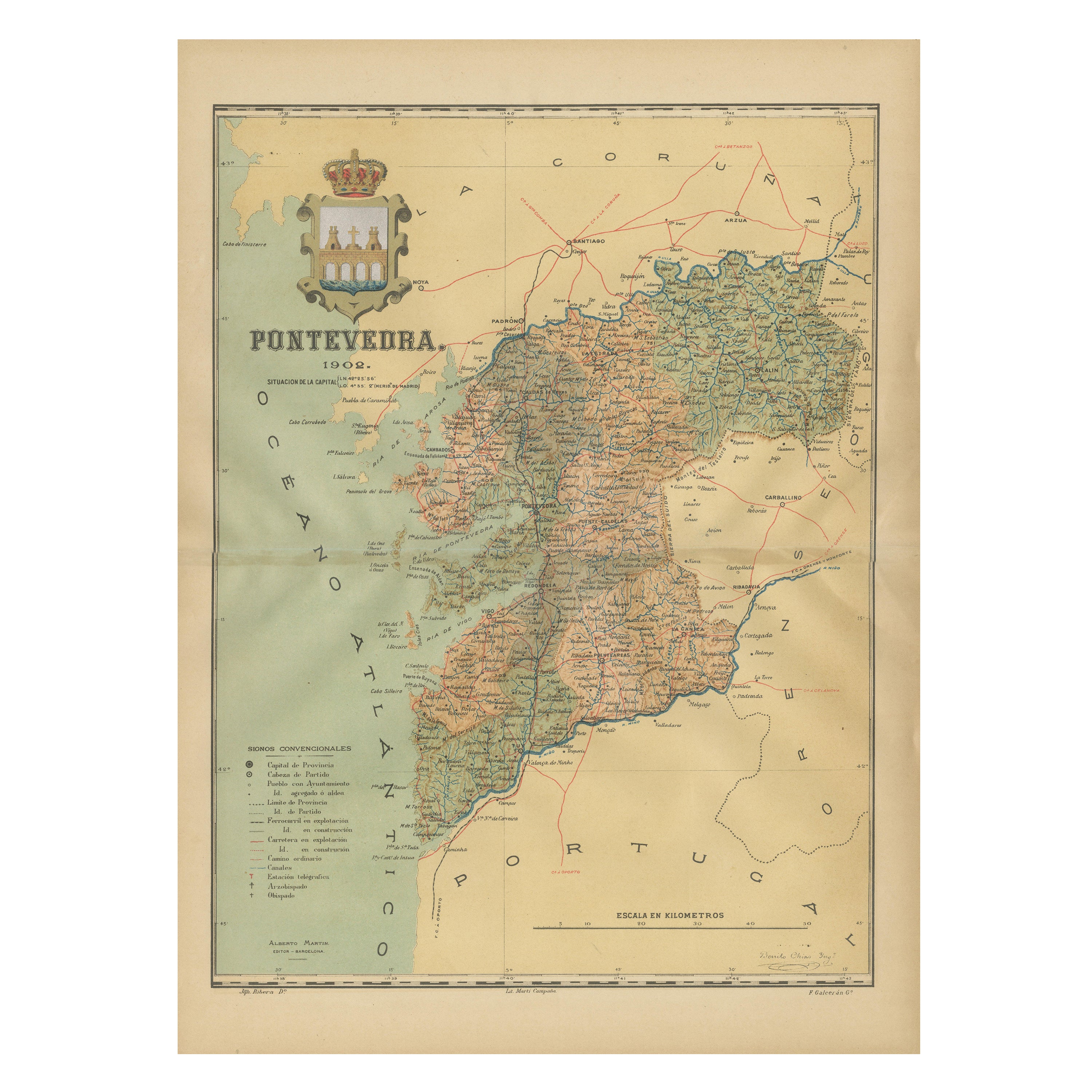
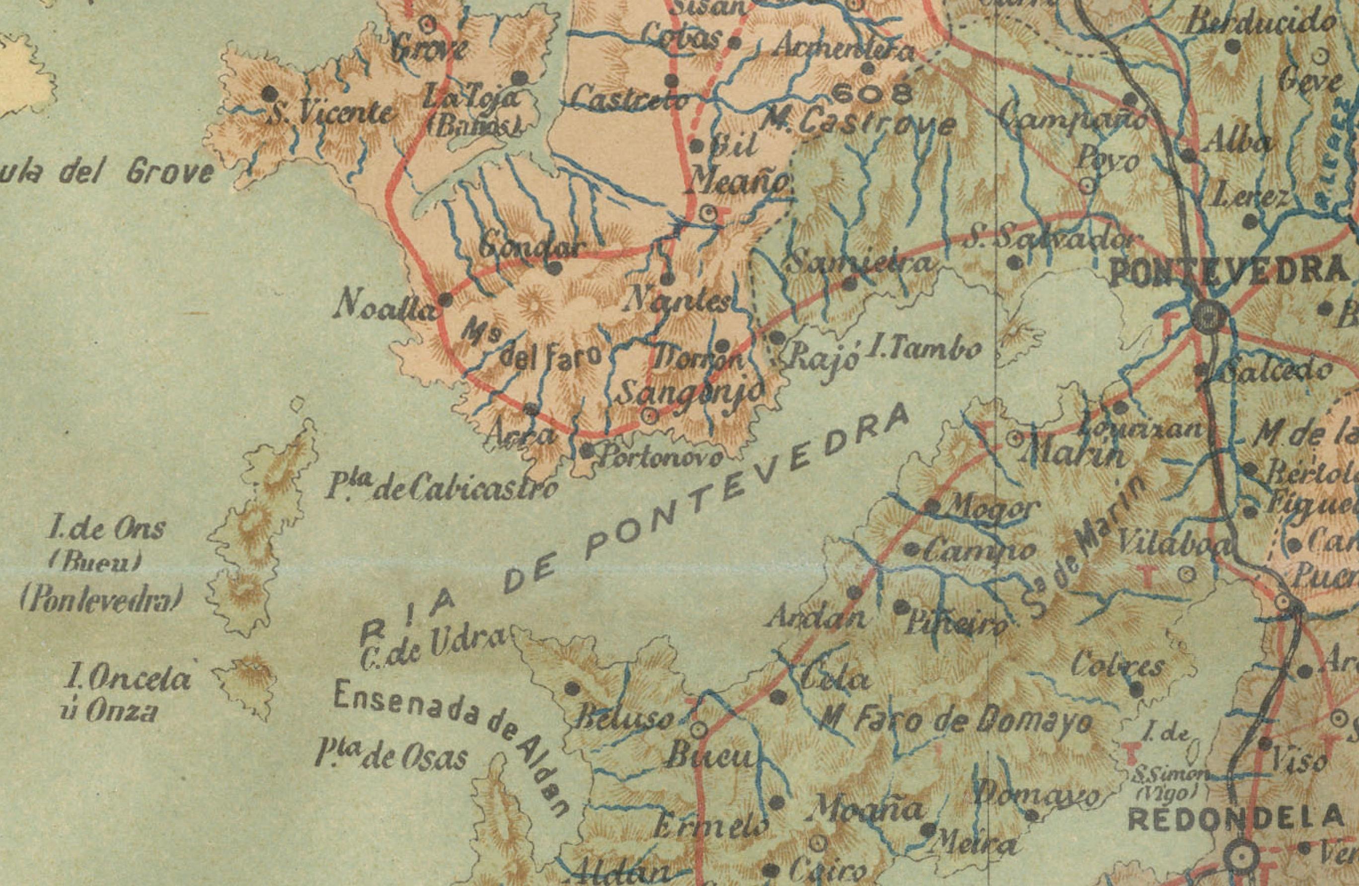
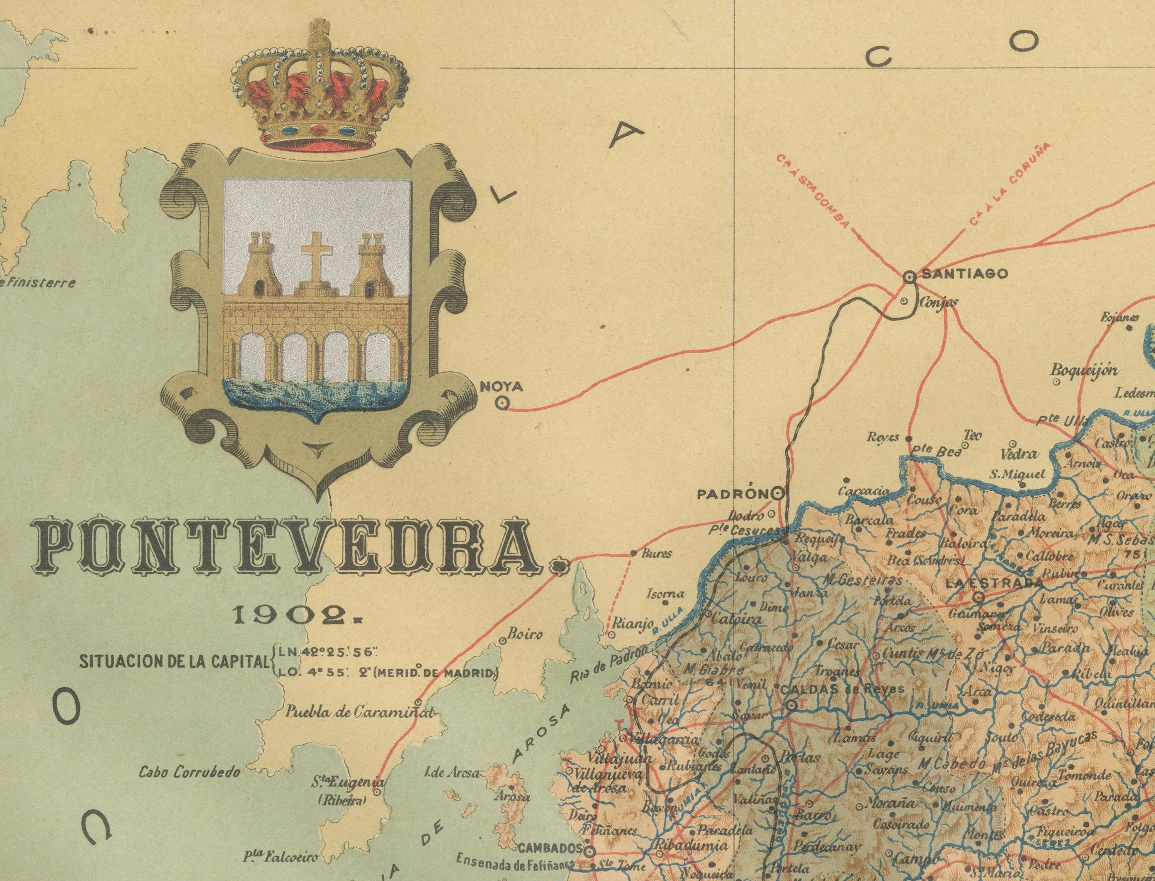
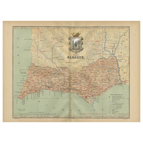
This original old map of over 100 years old depicts the province of Pontevedra as it was in 1902. Pontevedra is located in the northwest of Spain, in the autonomous community of Galicia. This coastal province is bordered by the Atlantic Ocean to the west and Portugal to the south. It is a region known for its rugged coastline, which includes the famous Rías Baixas, a series of four estuarine inlets that are known for their scenic beauty, beaches, and seafood. The interior of the province is characterized by a hilly landscape that gradually rises from the coast to the interior.
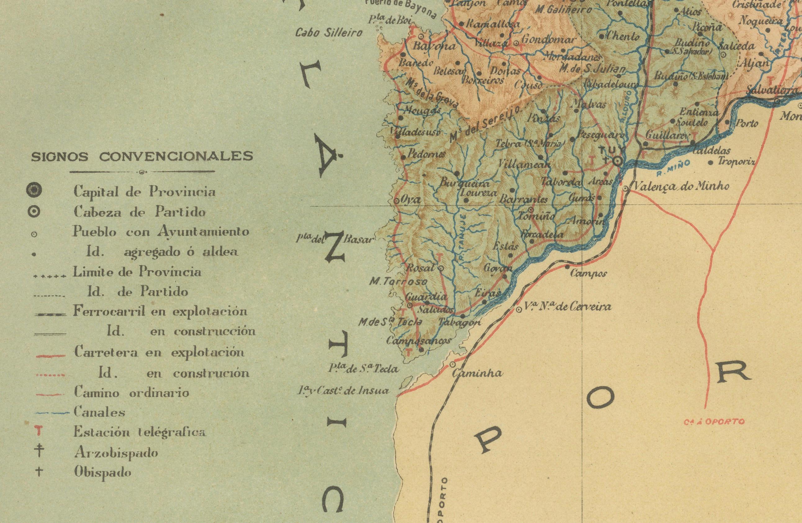
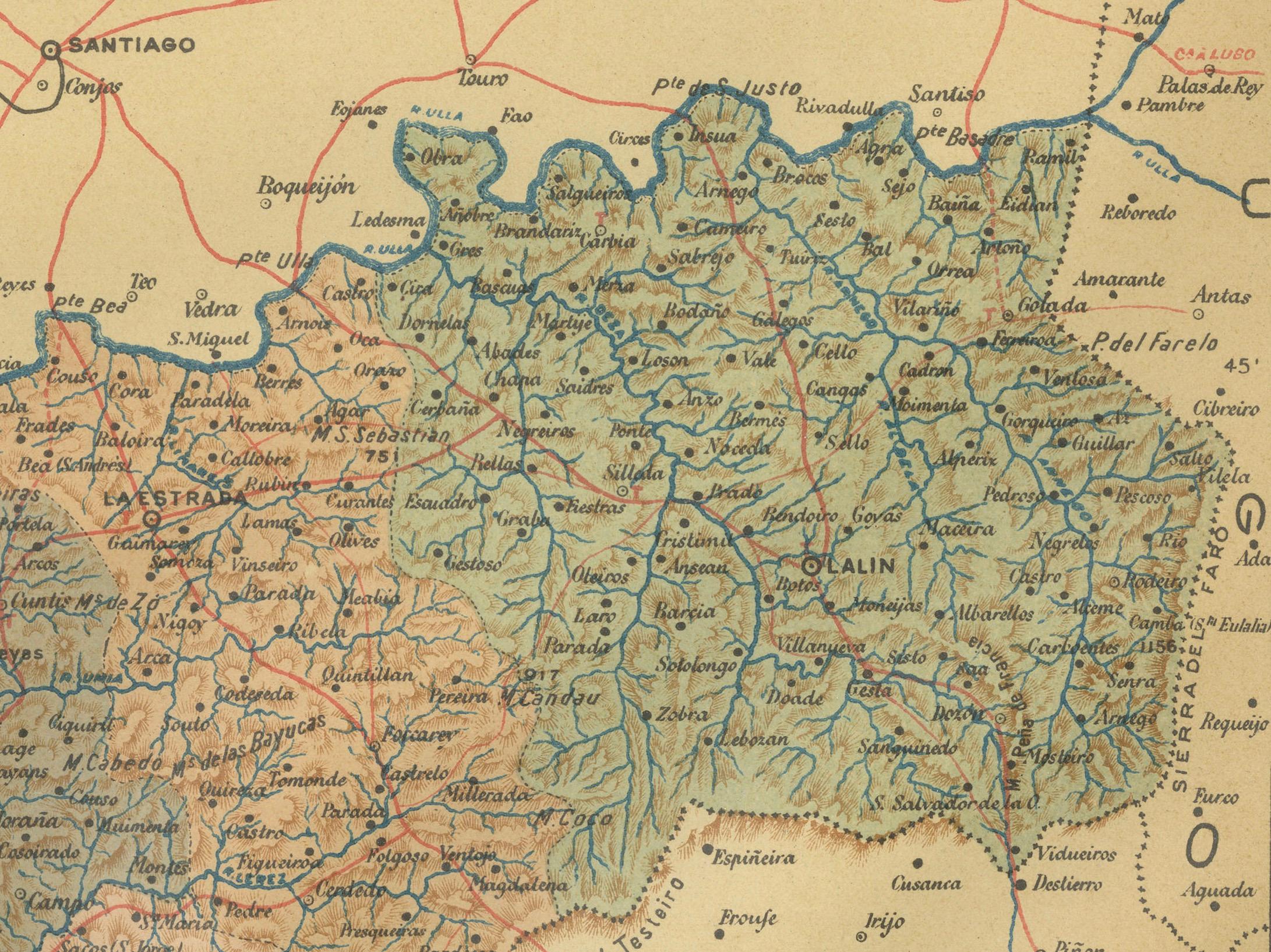
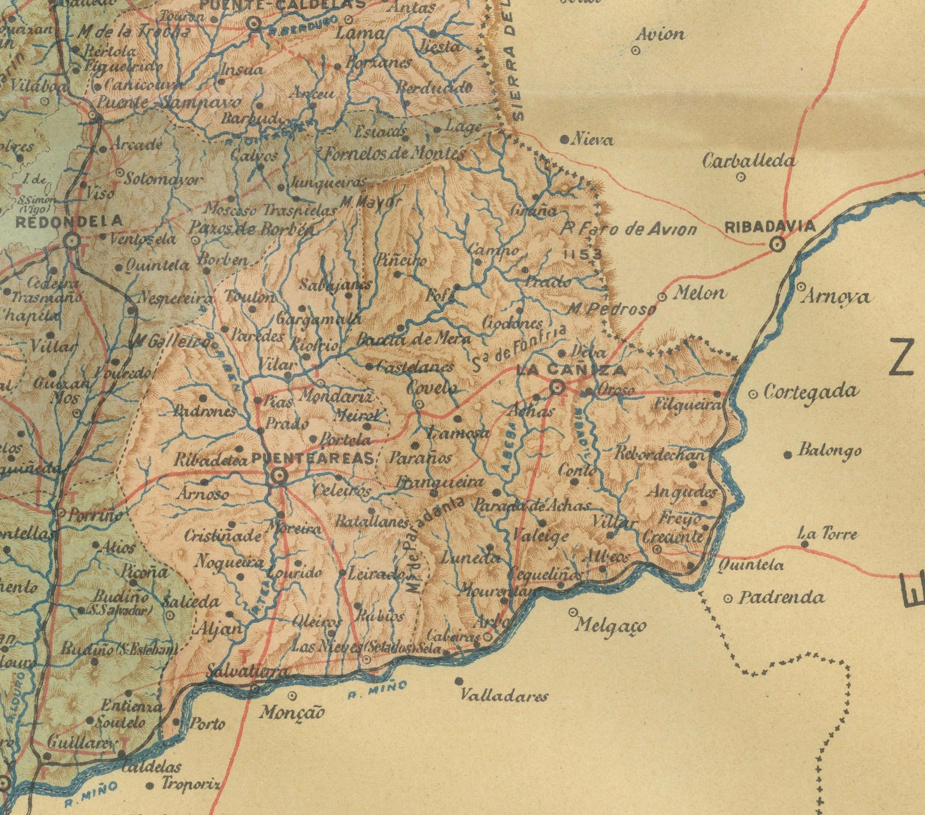
Pontevedra's capital, which shares the same name, is renowned for its well-preserved old town, rich medieval history, and the iconic Sanctuary of the Pilgrim Virgin. The map likely details various geographical features such as rivers, mountain ranges, and infrastructures like roads and railways, marking a snapshot of the province's topography and human geography at the beginning of the 20th century.
This title captures the essence of Pontevedra as a key maritime province with significant land features and cultural intersections.