About this sheet
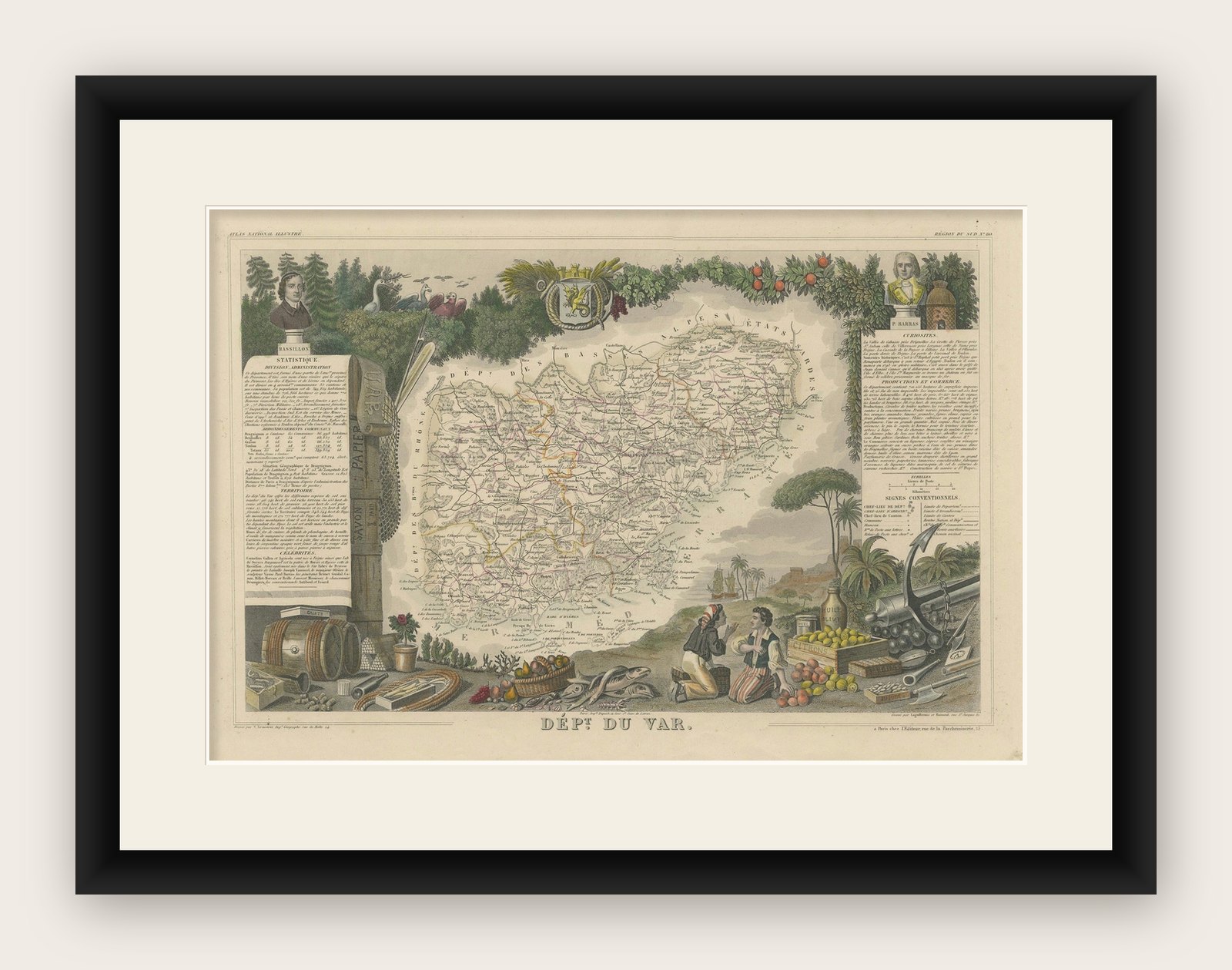
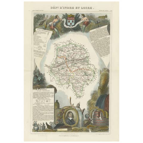
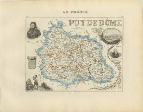
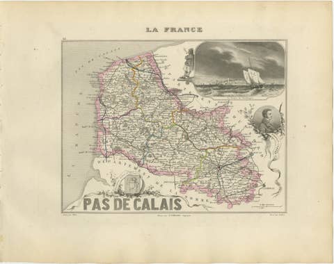
This original hand-colored map is from the "Atlas National Illustré," a work by Victor Levasseur, a French geographer and cartographer known for his richly illustrated maps.
The map of 'Dépt. du Var' from 1856 is a steel engraving, which was a common and precise method for creating maps at the time. The inclusion of the publisher's name, A. Combette from Paris, and the addresses of the various contributors to the map's creation, like the engravers Laguillermie and Rainaud, adds to the historical context of the piece.
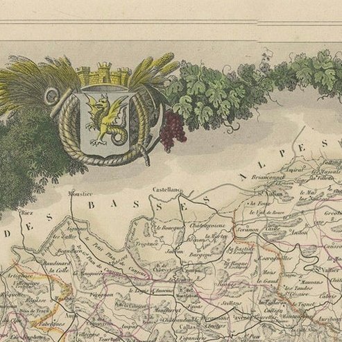
The margins of the map are adorned with detailed illustrations that serve as a visual encyclopedic reference to the region's geography, economy, and notable figures. The use of color along the boundaries makes the map not only a tool for navigation but also an educational resource, providing insights into the Var department's landscape, economy, and cultural significance.
The text included in the map's design provides statistical information, a map legend, and discussions about the land, local curiosities, notable personalities, products, and commerce, which would have been invaluable for education and reference at the time.
The 'Atlas National Illustré' is celebrated for its combination of cartographic detail and artistic embellishment, making it a valuable cultural artifact. It represents the height of decorative map-making in the 19th century, alongside the works of John Tallis and Archibald Fullarton.
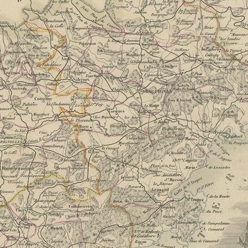
The map of the 'Département du Var' from the Atlas National Illustré would typically highlight various important towns, cities, and geographical features that make the region famous.
1. Toulon: As the prefecture (capital) of the Var, Toulon is a significant military port on the Mediterranean coast and home to the French Navy's main base.
2. Saint-Tropez: This town is renowned worldwide for its beaches and nightlife, historically a fishing village and later a resort for the European and American jet set and a destination for tourists.
3. Hyères: Often referred to as Hyères les Palmiers due to the palm trees that characterize its streets, Hyères is known for its medieval core and as a gateway to the beautiful Îles d'Hyères.
4. Draguignan: This town was historically the administrative center of the Var and is known for its traditional Provençal culture.
5. Fréjus: An ancient town with Roman ruins, Fréjus is also recognized for its beautiful beaches and as a summer resort.
6. The Massif de l'Esterel: This mountain range is famous for its red rocks and dramatic landscape, offering numerous hiking trails and stunning views of the Mediterranean.
7. The Gorges du Verdon: Often called France's Grand Canyon, it's a river canyon that is considered to be one of Europe's most beautiful. It may or may not be shown on the map, depending on the scope, as it lies on the border of the Var and the Alpes-de-Haute-Provence departments.
8. The Îles d'Hyères: Including Porquerolles, Port-Cros, and the Île du Levant, these islands are known for their natural beauty and serve as popular destinations for boating, hiking, and swimming.
9. The vineyards: Var is known for its wine production, with vineyards that are part of the Côtes de Provence and Bandol AOCs (Appellations d'Origine Contrôlée).