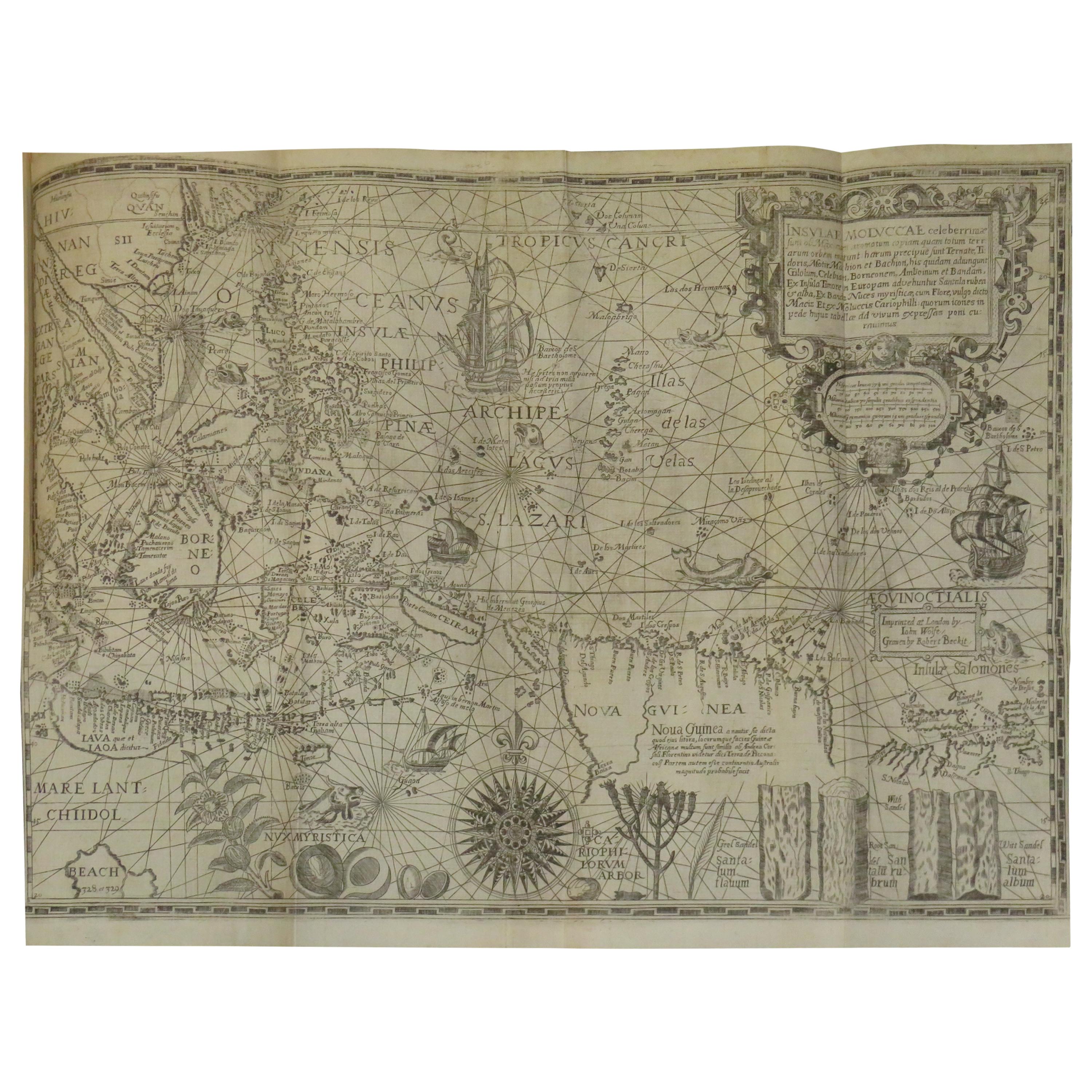
Antique Map of the Spice Islands by Van Linschoten, 1598
€ 116 150
One of a kind: this is the sheet in the photographs. Ships from Langweer, the Netherlands.
Date
1598
Sheet size
37.8 × 53.5 cm (14.9 × 21.1 in)
Condition
Good
Condition
Repaired: Map backed onto Japan paper. Very good; strong dark impression: professional repair to small tear left-hand border middle with small horizontal tear (2 cm) just below on left-hand border (not repaired); no map loss in either case: left and right margins closely croppe.
About this sheet
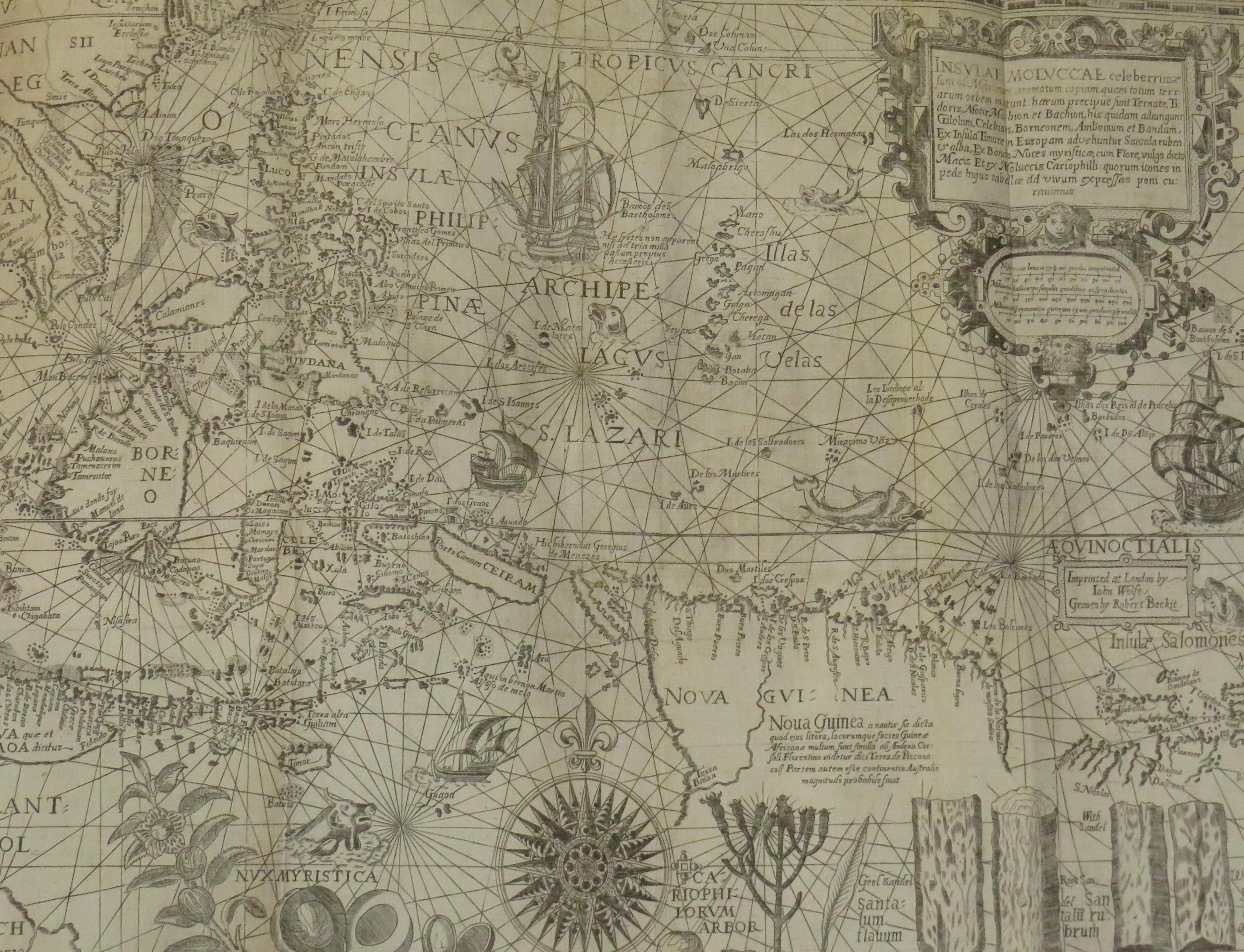
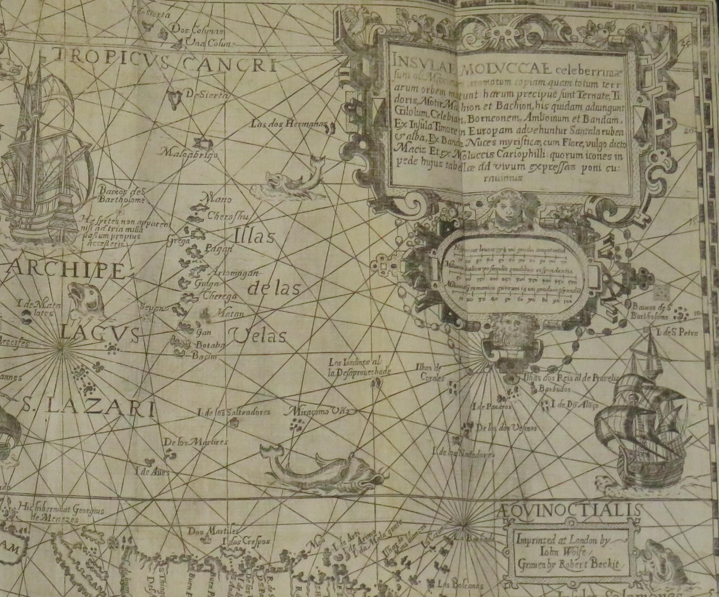
Antique map titled 'INSVLAE MOLVCCAE celeberrimae/funt ob Maximan aromatum copiam quam totum terr:/arum orbem mittunt: harum precipue funt Ternate, Ti:/doris, Motir machion et Bachion, his quidam adiungunt/Giloolum, Celebiant, Borneonem, Amboinum et Bandam,/Ex Infula Timore in Europam adevehuntur Santala rubea/& alba , Ex Banda Nuces myrifticae, cum Flore, vulgo dicto/Macis Et ex Moluccis Cariophilli:quorum icons in/pede hujus tabellae ad vivum expreffas poni cu:rauimus'.
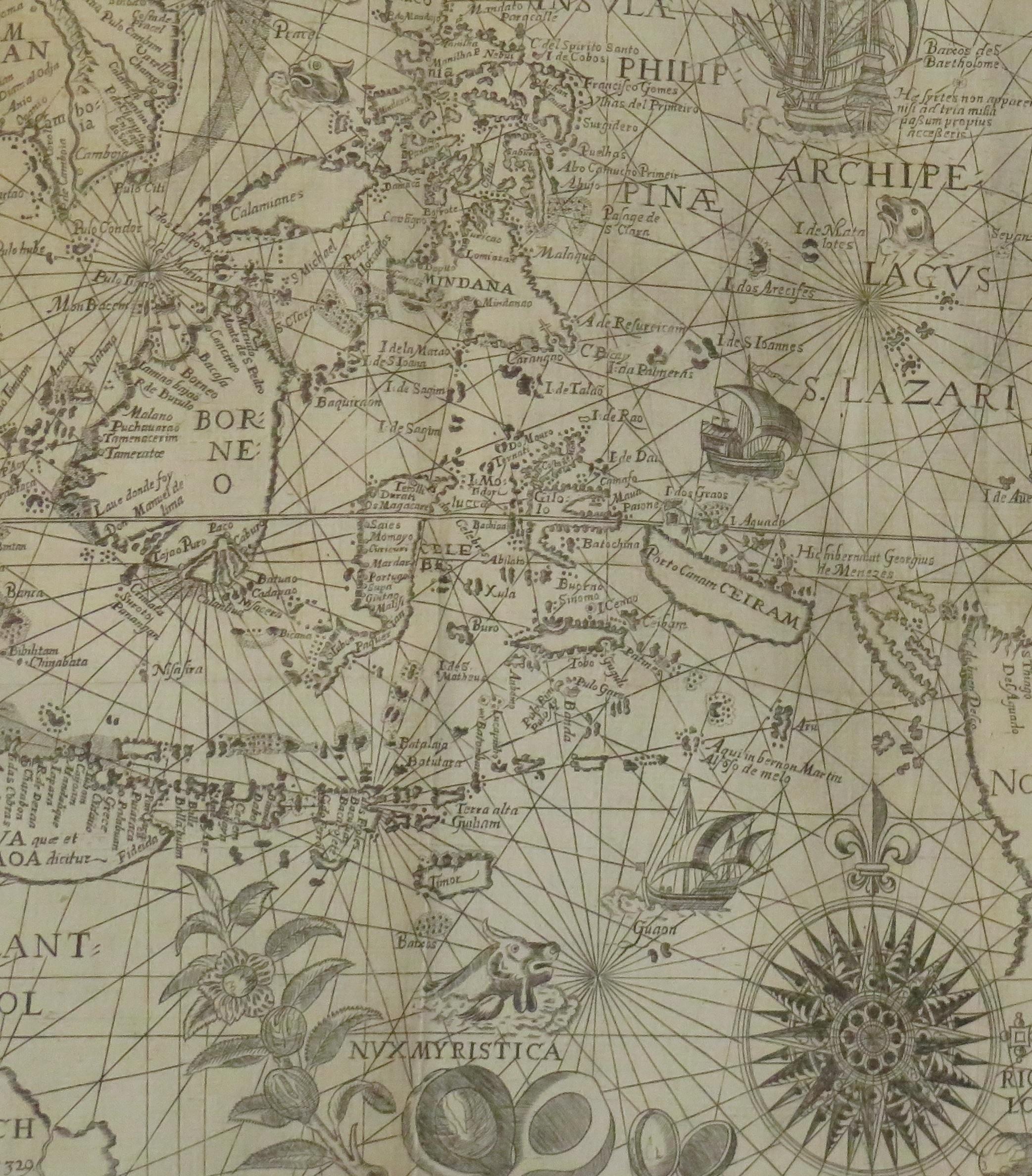
The map, Insulae Moluccae, is the rarest and most valuable of the printed maps of the Spice Islands. It is estimated that only some 20 original prints exist in the world of which more than 50 percent are found in museums and National Libraries. The beauty and interest of the map is greatly enhanced by the engravings along the bottom margin of the main commodities that brought Europeans to the region: nutmeg, mace, cloves and sandalwood. The bulk of the north coast of New Guinea is included as well as the Solomon Islands indicating that the source maps contained the results of Portuguese and Spanish exploration in the mid-16th century. The kingdom of Beach, believed to have been created by Mercator from a corruption of Marco Polo’s Lochac (Siam), appears in the southwest corner of the map.
The map is a magnificent tribute to the map makers’ art showing the latest geography of an area of the world that became the Holy Grail for the Renaissance explorers, the Spice Islands, the only islands in the world where nutmeg, mace, clove and a variety of sandal woods grew. The value and importance of these products in world trade is emphasized on the map by the beautiful engravings of these expensive and desirable exotic products of the Orient.
This original antique map originates from the 1598 edition of Van Linschoten's 'ITINERARIO'.