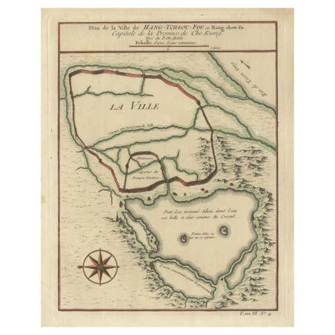
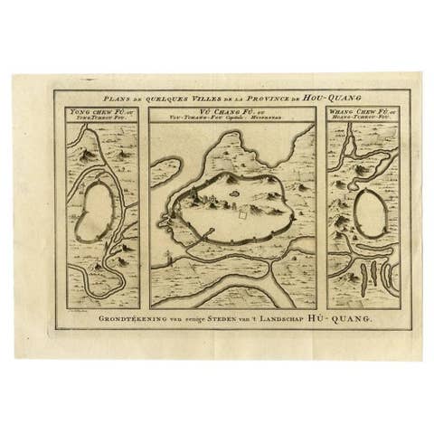
About this sheet
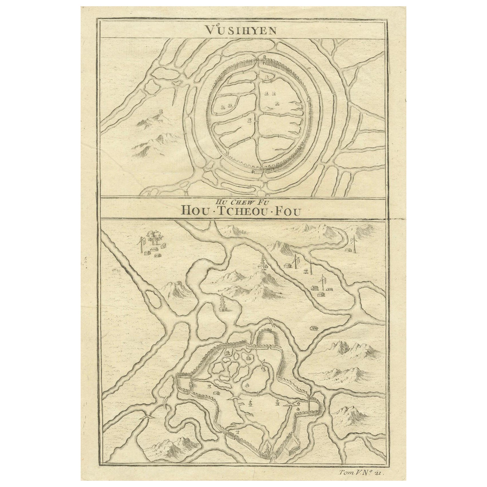
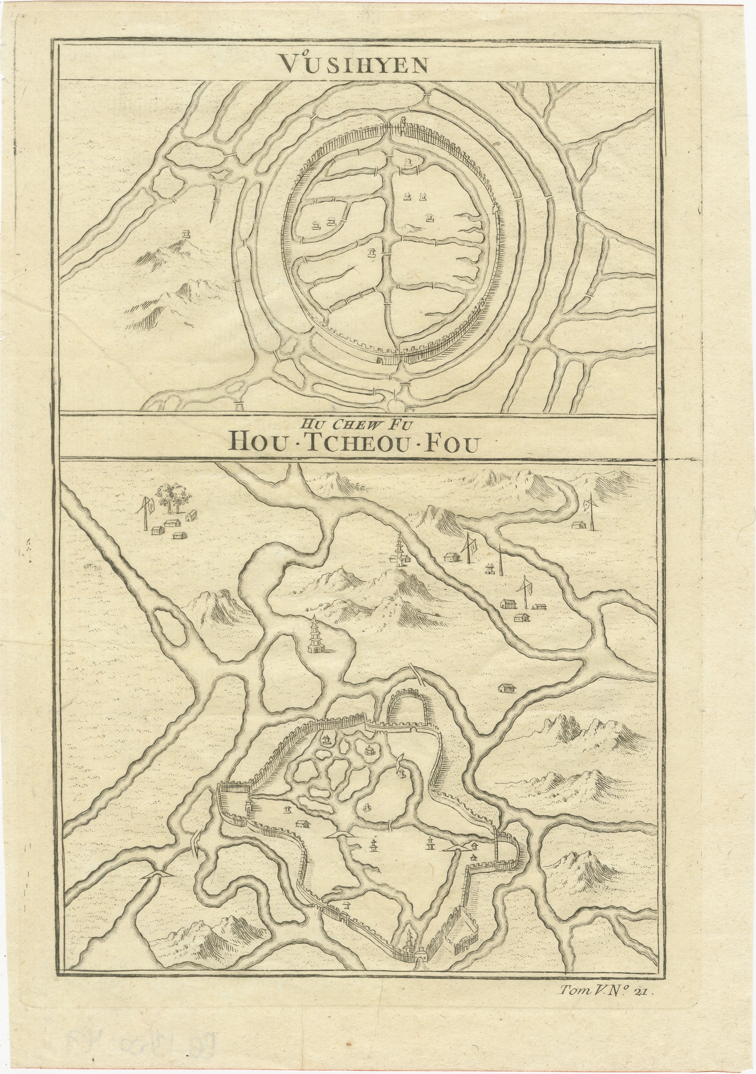
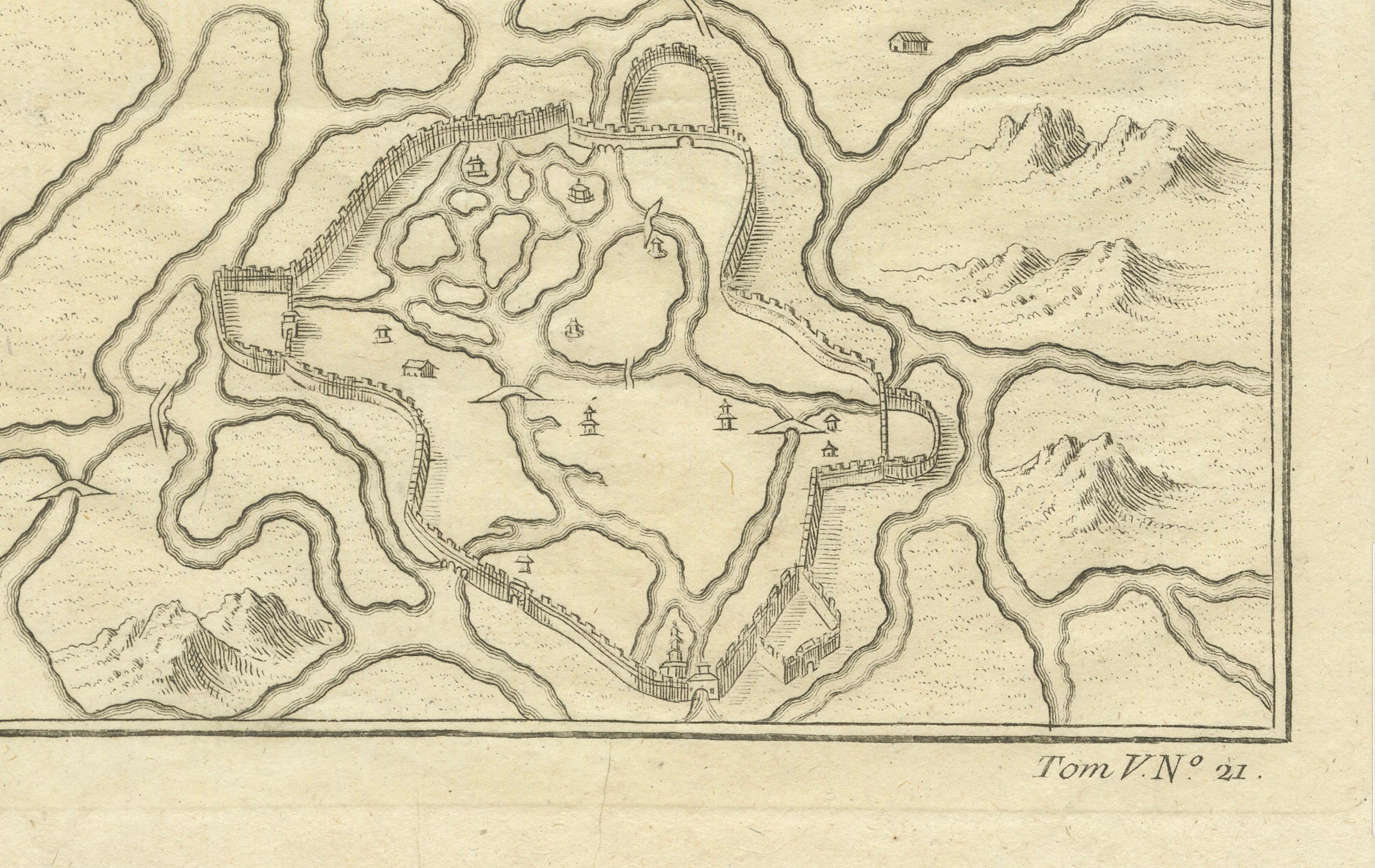
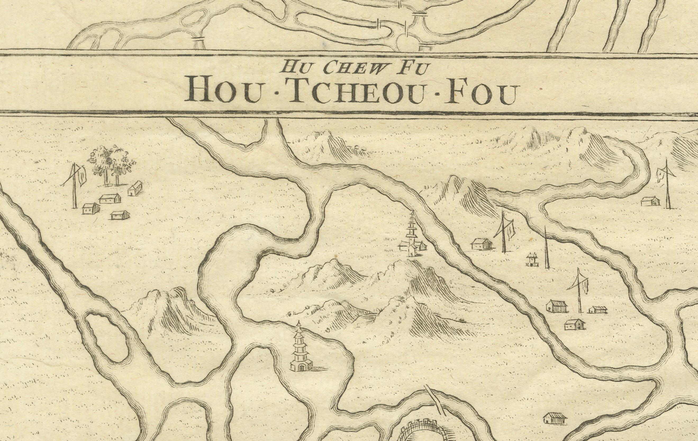
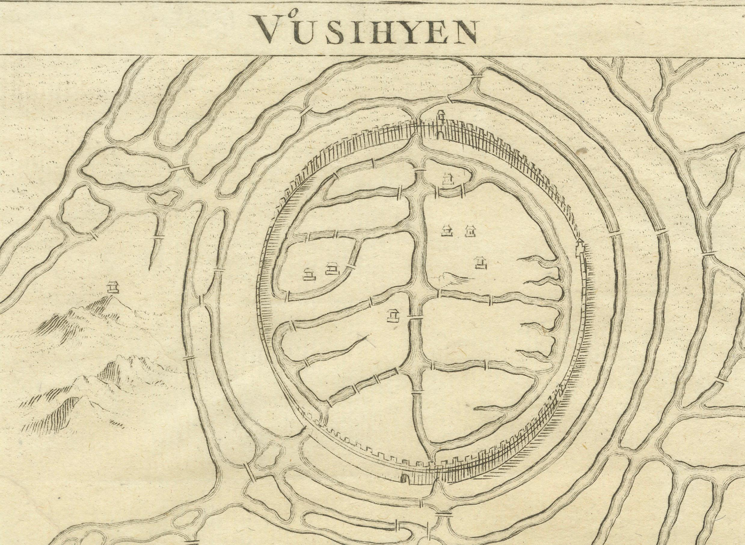
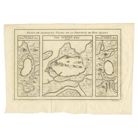
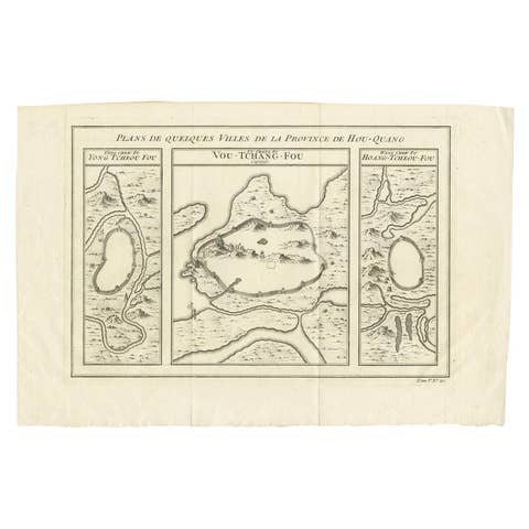
Given these specific names—Vusihyen, Hu Chew Fu, and Hou-Tcheou-Fou—it appears that the map depicts historical Chinese locations. These names are likely transliterations of Chinese names from the period. "Hu Chew Fu" might be an old Western spelling for what is known in modern pinyin as Huzhou, a city near Lake Tai in China. "Hou-Tcheou-Fou" could refer to a historical name for another city or region, also located in China.
More research needed.
More about the maker:
Jacques-Nicolas Bellin's contributions to cartography and hydrography set a precedent in mapmaking during the 18th century. His role as Hydrographer to the French Navy and later as the Official Hydrographer to the French King placed him at the forefront of maritime charting and exploration. The detail and accuracy of Bellin's maps reflected not only the scientific rigor of the time but also the French government's commitment to navigation, exploration, and colonial expansion.
His work on the "Neptune Francois," "Atlas Maritime," and "Hydrographie Francaise," among other important collections, helped to improve the accuracy of sea navigation and fostered a greater understanding of the world's geography. The fact that his maps were widely republished and copied is a testament to their value and the respect he commanded across Europe.
Bellin's smaller format maps, like those in the "Petit Atlas Maritime," and his contributions to Prévost's "Histoire Generale des Voyages," were invaluable to navigators, explorers, and scholars. His influence was such that it not only advanced French cartography but also the European cartographic tradition as a whole, leaving a legacy that would endure well beyond his lifetime.