Maps & PrintsBartele Gallery · Langweer
Home / Antique Maps / Asia / East Asia / China

China · 18th century

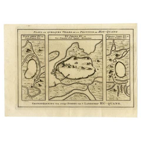
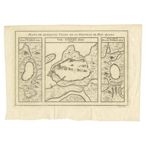
Antique Map of Three Cities of China's Hubei and Hunan Provinces by Bellin, 1755

€ 165

One of a kind: this is the sheet in the photographs. Ships from Langweer, the Netherlands.

Date
1755
Mapmaker / artist
Jacques-Nicolas Bellin (Artist)
Sheet size
25.5 × 39 cm (10.0 × 15.4 in)
Condition
Good
Reference
BGJC-00135

Condition

Please study images carefully.
About this sheet

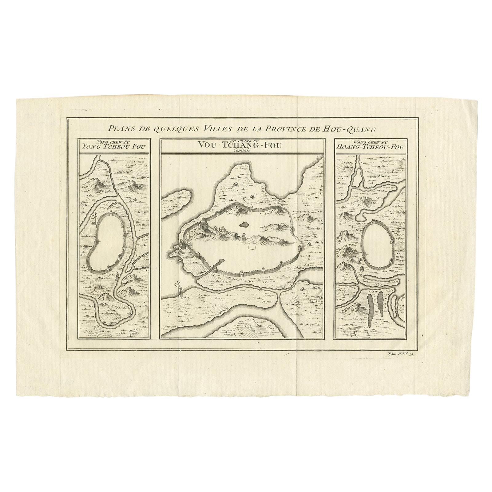
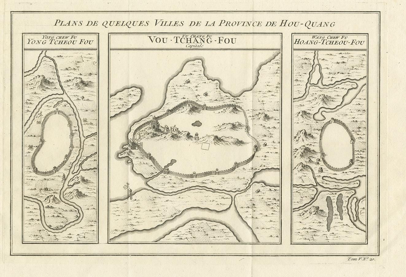
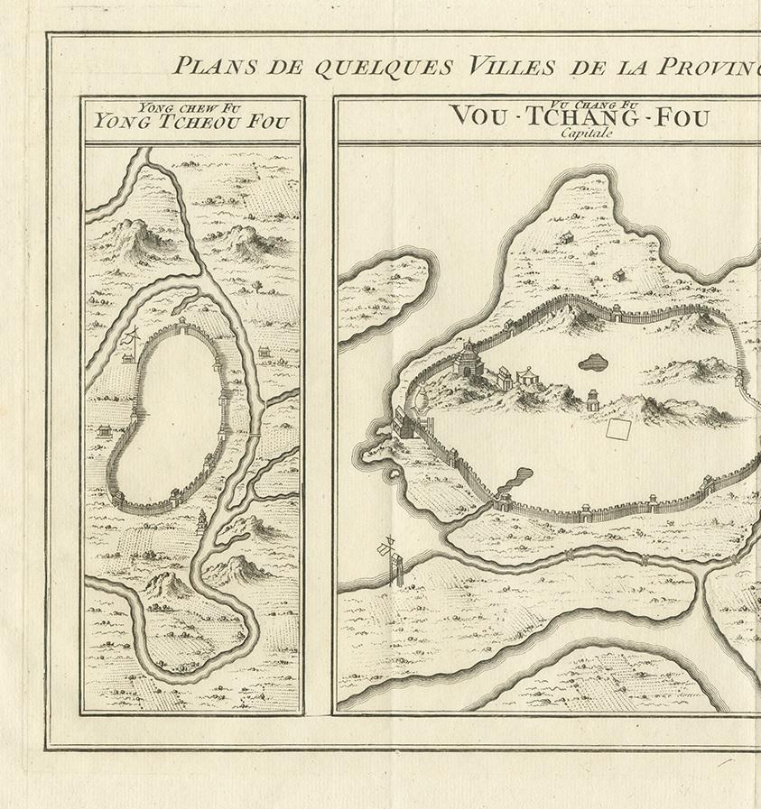
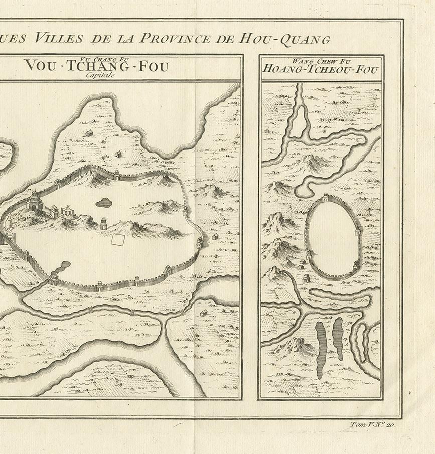
Antique print titled 'Plans de Quelques villes de la province de Hou-Quang.'

Three bird's-eye view plans of walled cities in what are now China's Hubei (Hou-Quang) and Hunan Provinces on a single plate from Prevost d'Exiles' influential collection of travel narratives, Histoire Generale des Voyages. From left to right, the plans are of Yongzhou (Yong Tcheou Fou), now in Hunan Province; Wuhan (Vou-Tchang-Fou), capital of Hubei Province; and Huangzhou (Hoang-Tcheou-Fou), now an urban district of the Hubei city of Huanggang.

More from China

Ask about this sheet

Antique Map of Three Cities of China's Hubei and Hunan Provinces by Bellin, 1755
1755 · Ref. BGJC-00135 · € 165
We reply by email, usually within one working day.