About this sheet
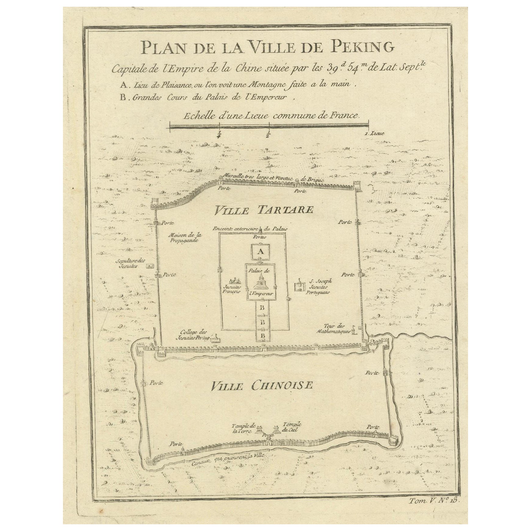
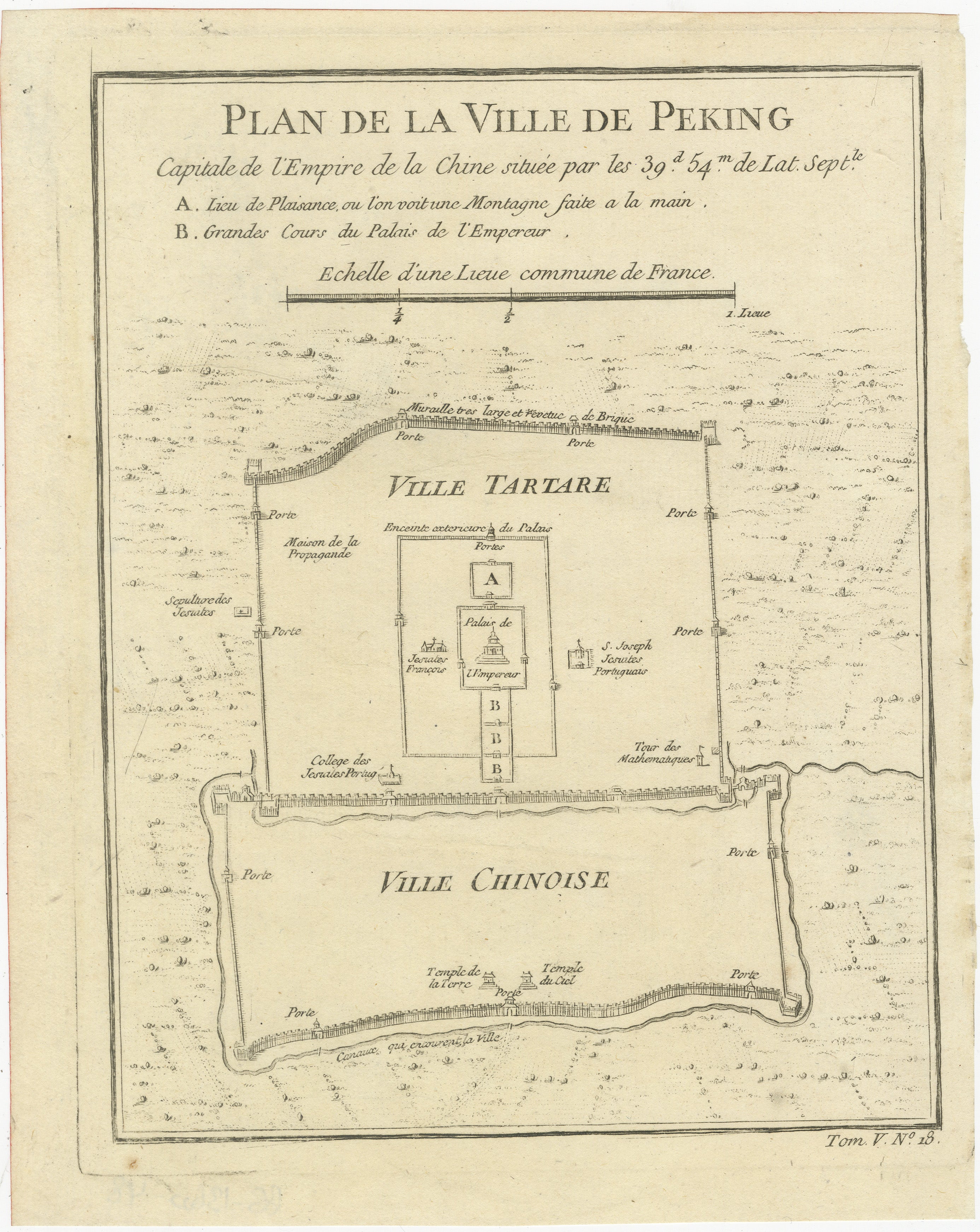
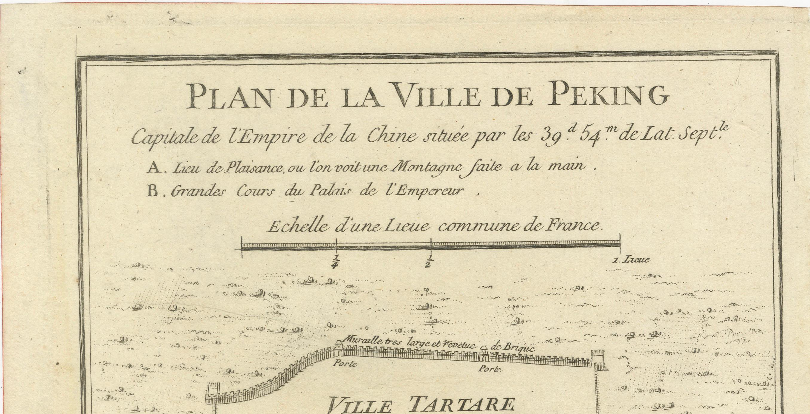
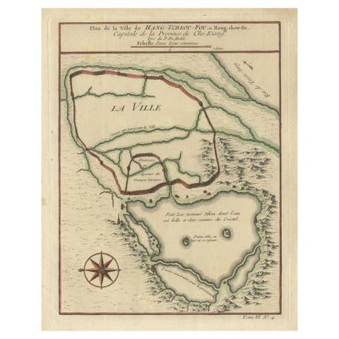
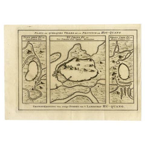
An antique map by Jacques Nicolas Bellin titled "Plan de la Ville de Peking Capitale de l'Empire de la Chine," published in Paris in 1754.
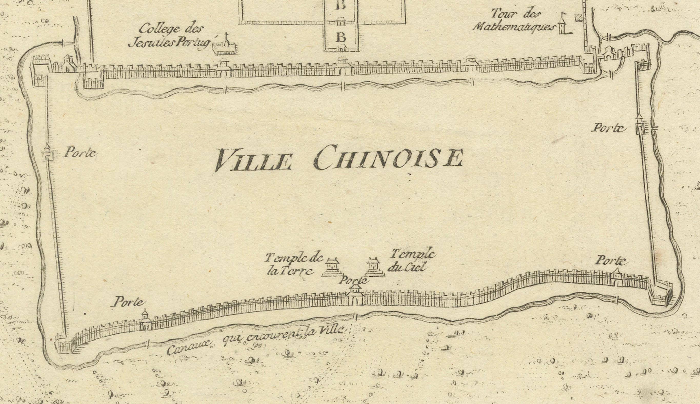
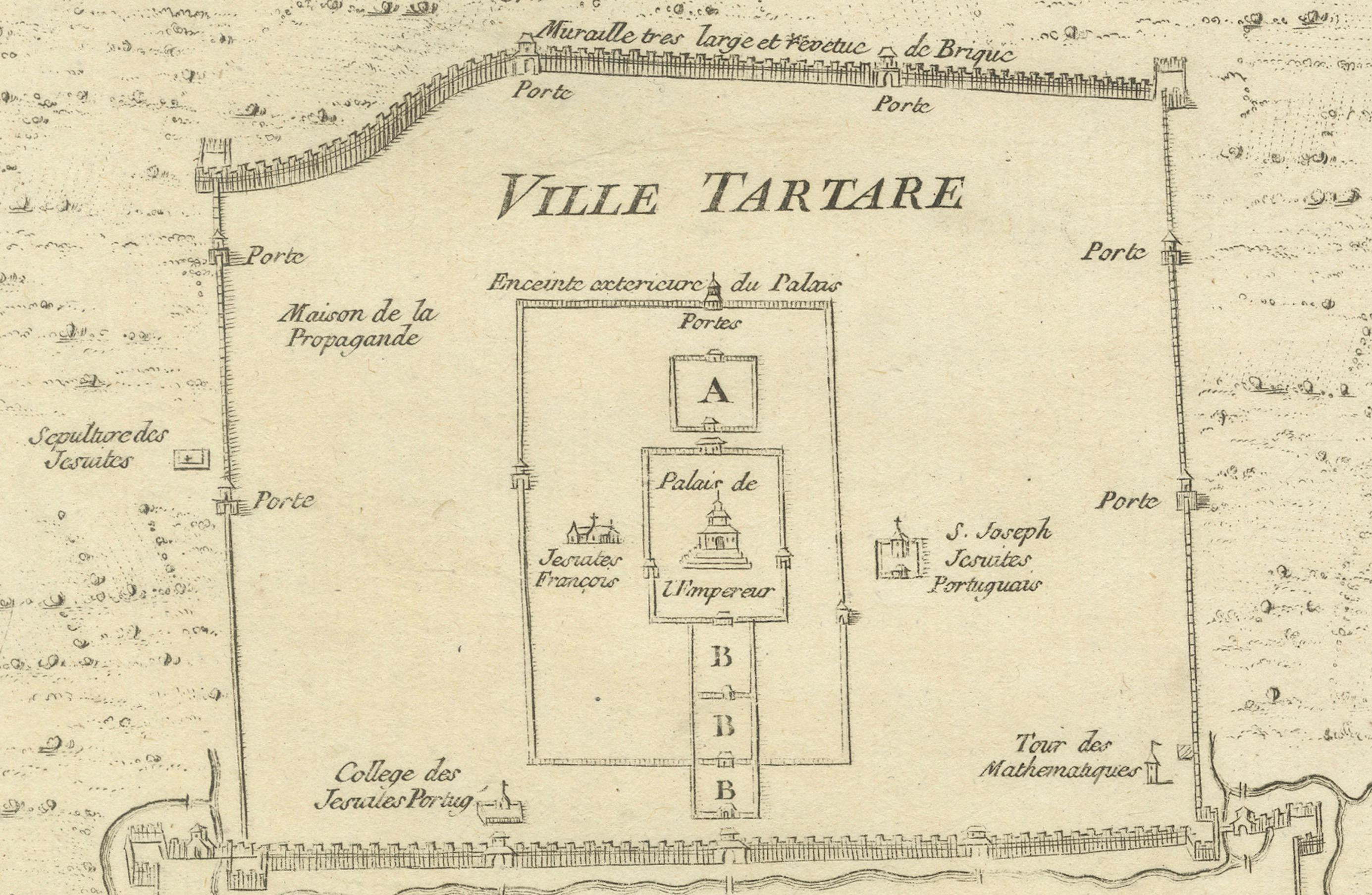
This finely engraved plan shows the detailed layout of the city of Peking (now known as Beijing), the capital of China. The map distinctly divides the city into the "Ville Tartare" (Tartar City) and "Ville Chinoise" (Chinese City), indicating the segregated living areas during that period. Notable features on the map include the Emperor's Palace and the French Jesuit and Portuguese Jesuit missions located in the Tartar City, as well as the Temples of the Earth and Sky marked in the Chinese City.
This kind of map is a valuable historical document, offering insight into the urban planning and social geography of Beijing in the mid-18th century. It reflects the European interest in the far reaches of the world during the age of exploration and the importance of Jesuit missions in cultural exchanges between the West and China. The presence of religious missions on the map underscores the role of European powers in the spread of Christianity in China at the time.