About this sheet
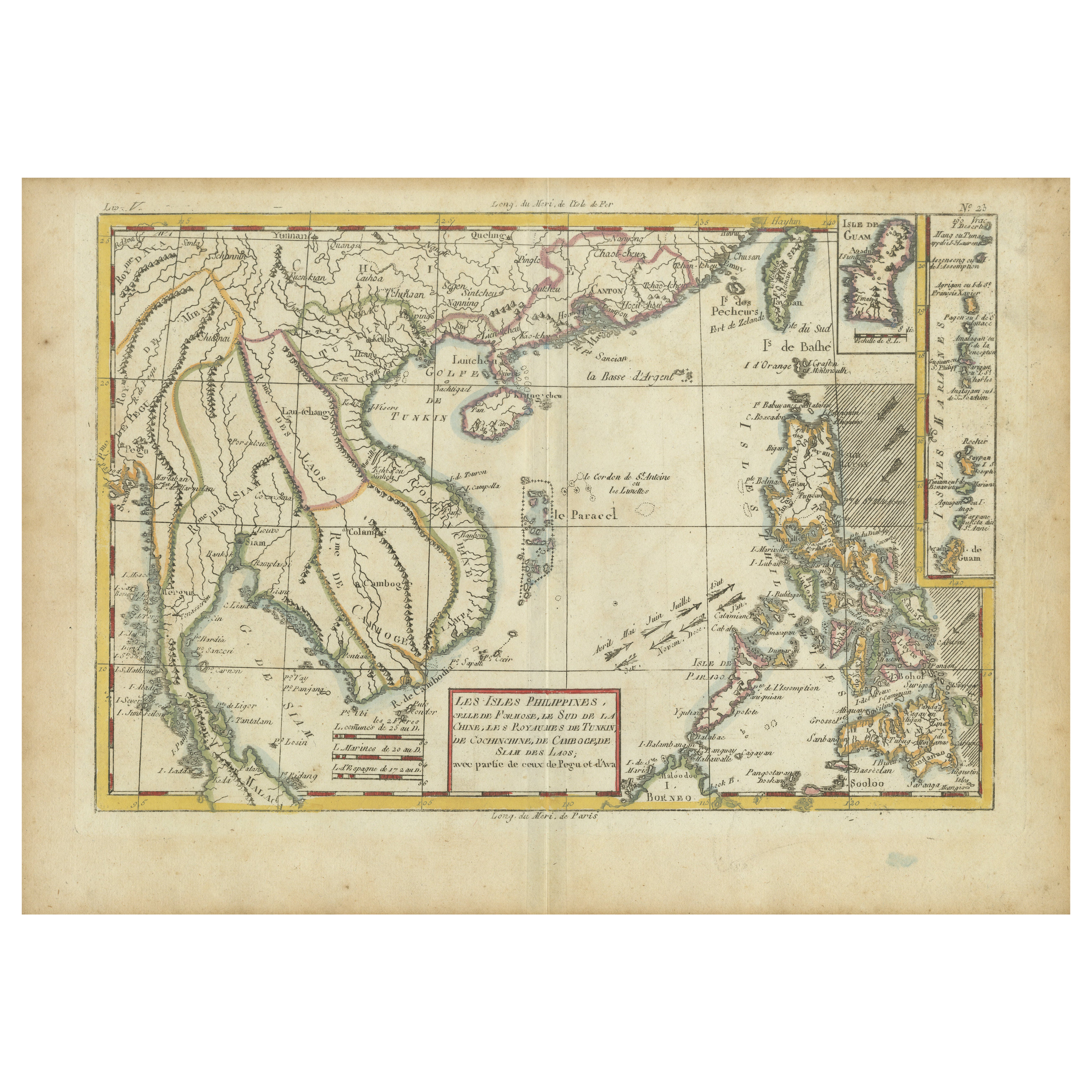
Bonne Map of Philippines, Formosa, Siam, Indochina & South China, 1780
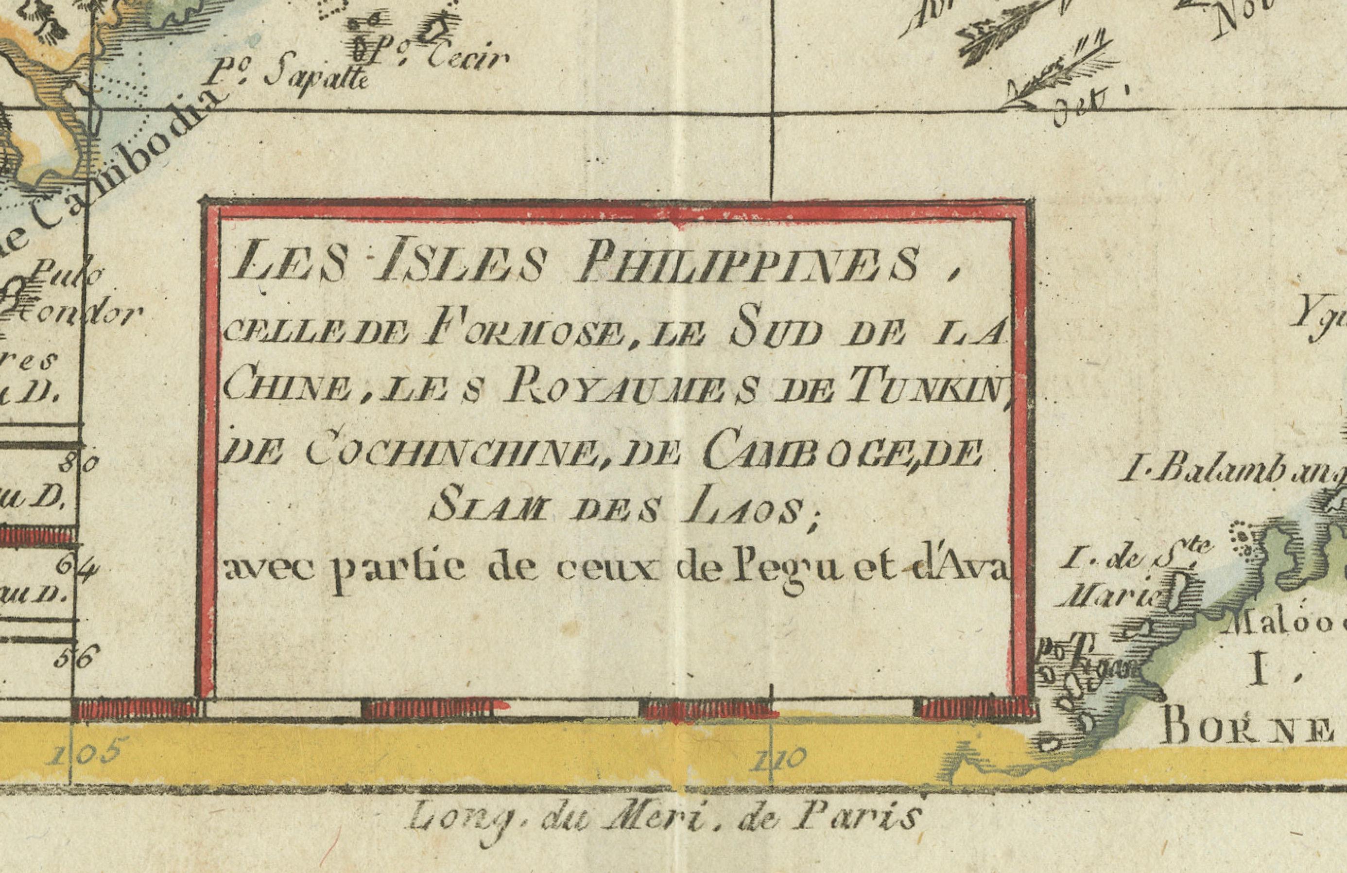
Les Isles Philippines, celle de Formose, le Sud de la Chine, les Royaumes de Tunkin, de Cochinchine, de Camboge, de Siam des Laos.
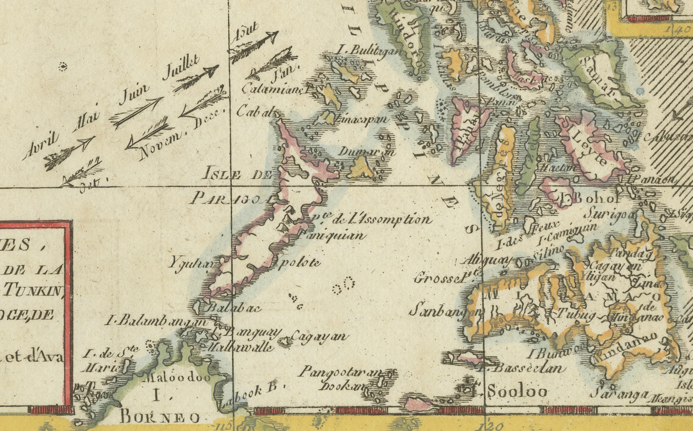
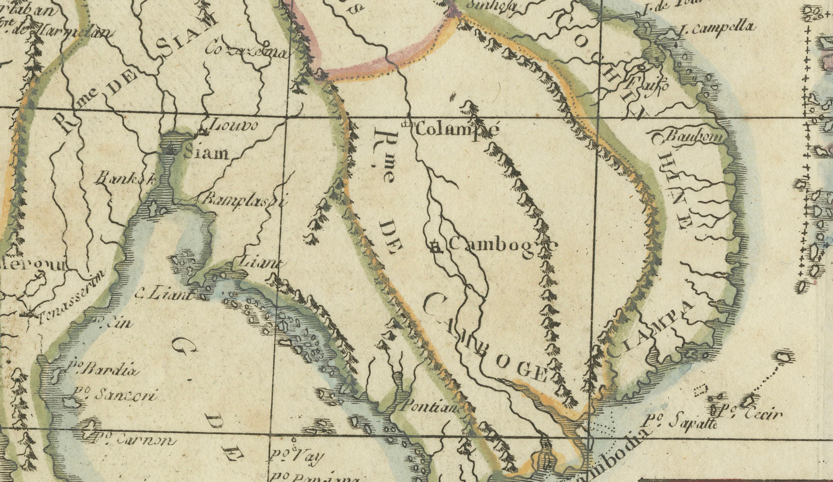
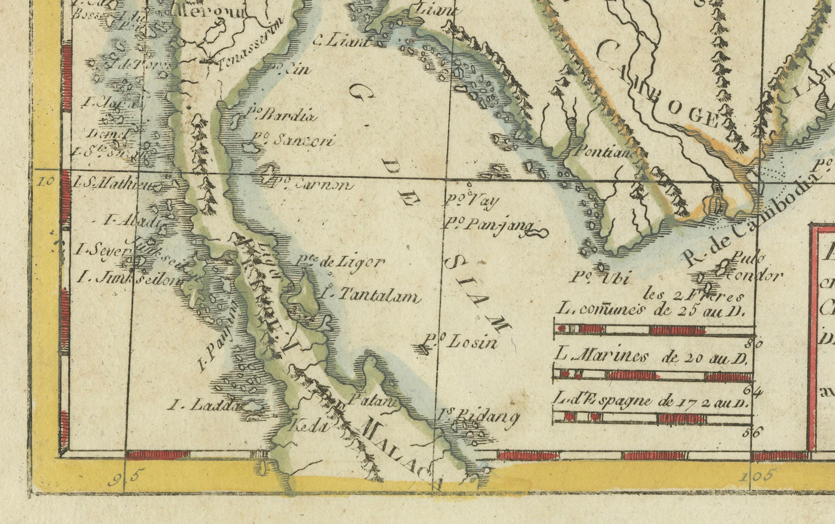
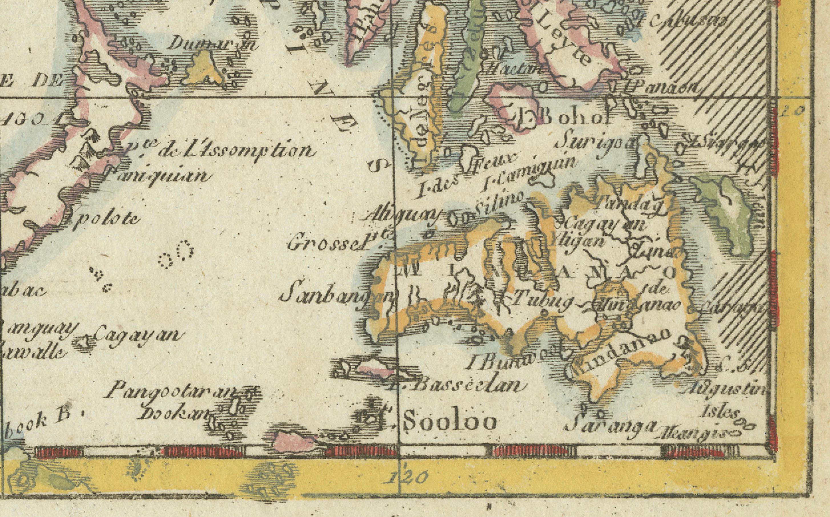
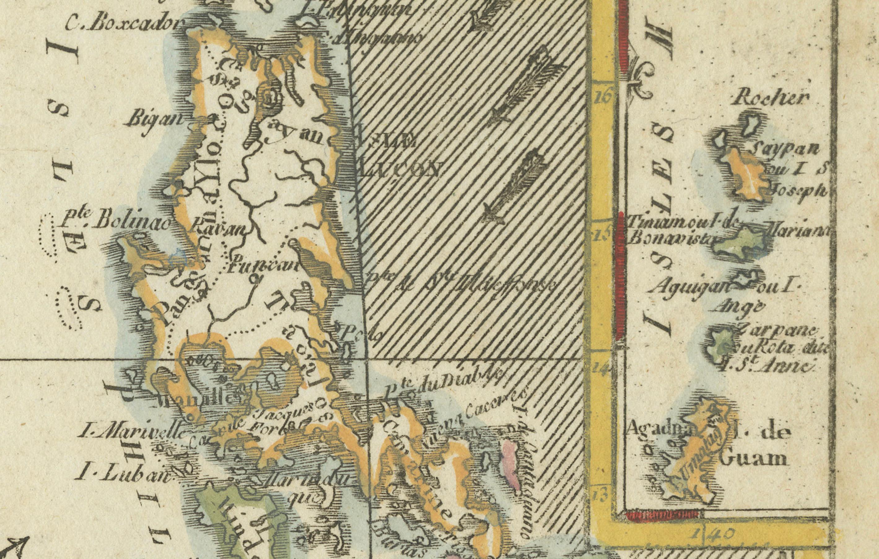
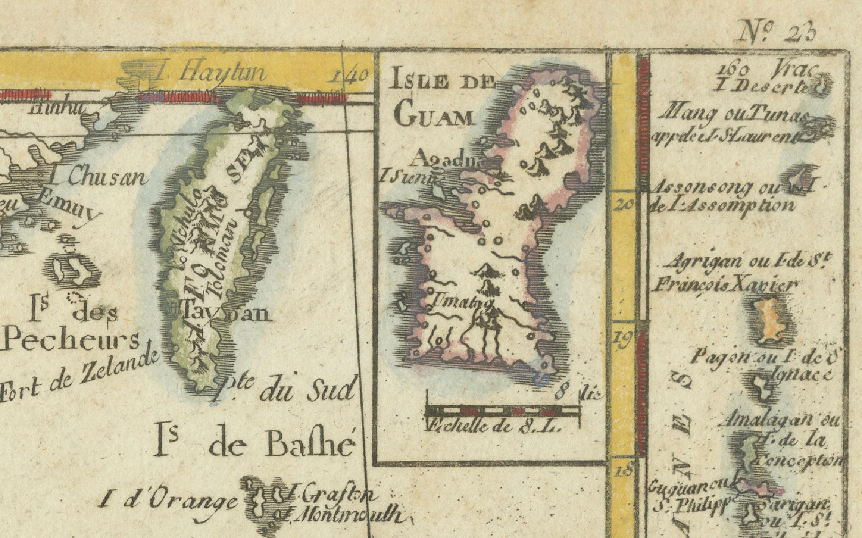
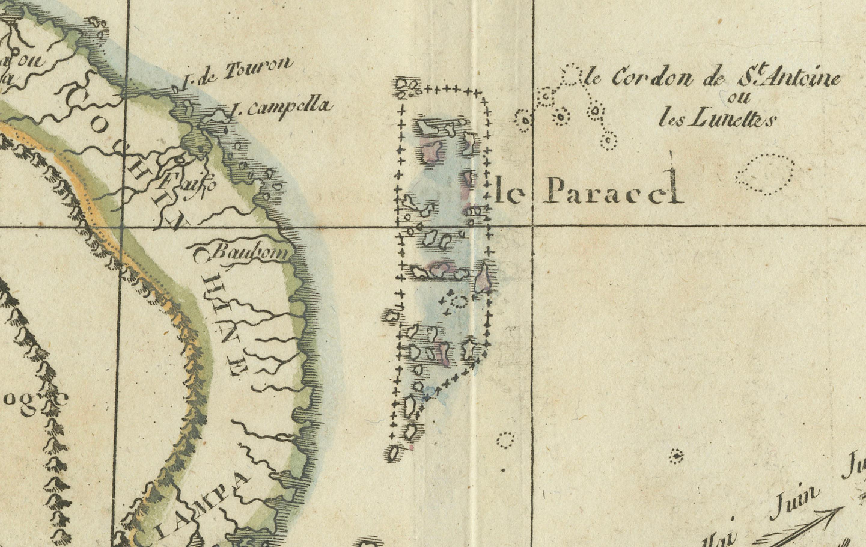
Original 1780 copperplate-engraved map with hand coloring by renowned French cartographer Rigobert Bonne (1727–1795), hydrographer to the French Navy. This detailed and elegant map spans the Philippines, Formosa (Taiwan), southern China, and much of mainland Southeast Asia, including the kingdoms of Siam (Thailand), Laos, Cambodia, Cochinchina, and Tonkin (Vietnam).
Praised for its geographical accuracy and refined engraving style, Bonne’s map features coastlines, mountain ranges, rivers, and settlements, along with inset maps of the Isle de Guam and surrounding Pacific islands. The use of color and shading highlights territorial divisions and topography.
A fine and historically significant map, now a valued reference for historians, collectors, and researchers of 18th-century Southeast Asia.
Condition: Good condition. Original hand coloring. Light age toning and minor foxing to margins. Centerfold as issued. A few small edge nicks not affecting image. Paper remains strong with good plate impression and no restoration.
Framing Tips:
- Use UV-protective glass to prevent fading of hand coloring.
- Acid-free mat and backing to preserve paper quality.
- Float-mount if edges or plate mark should remain visible.
- Choose a classic wooden or gilt frame to match the antique aesthetic.
- Keep away from direct sunlight and humidity.