About this sheet
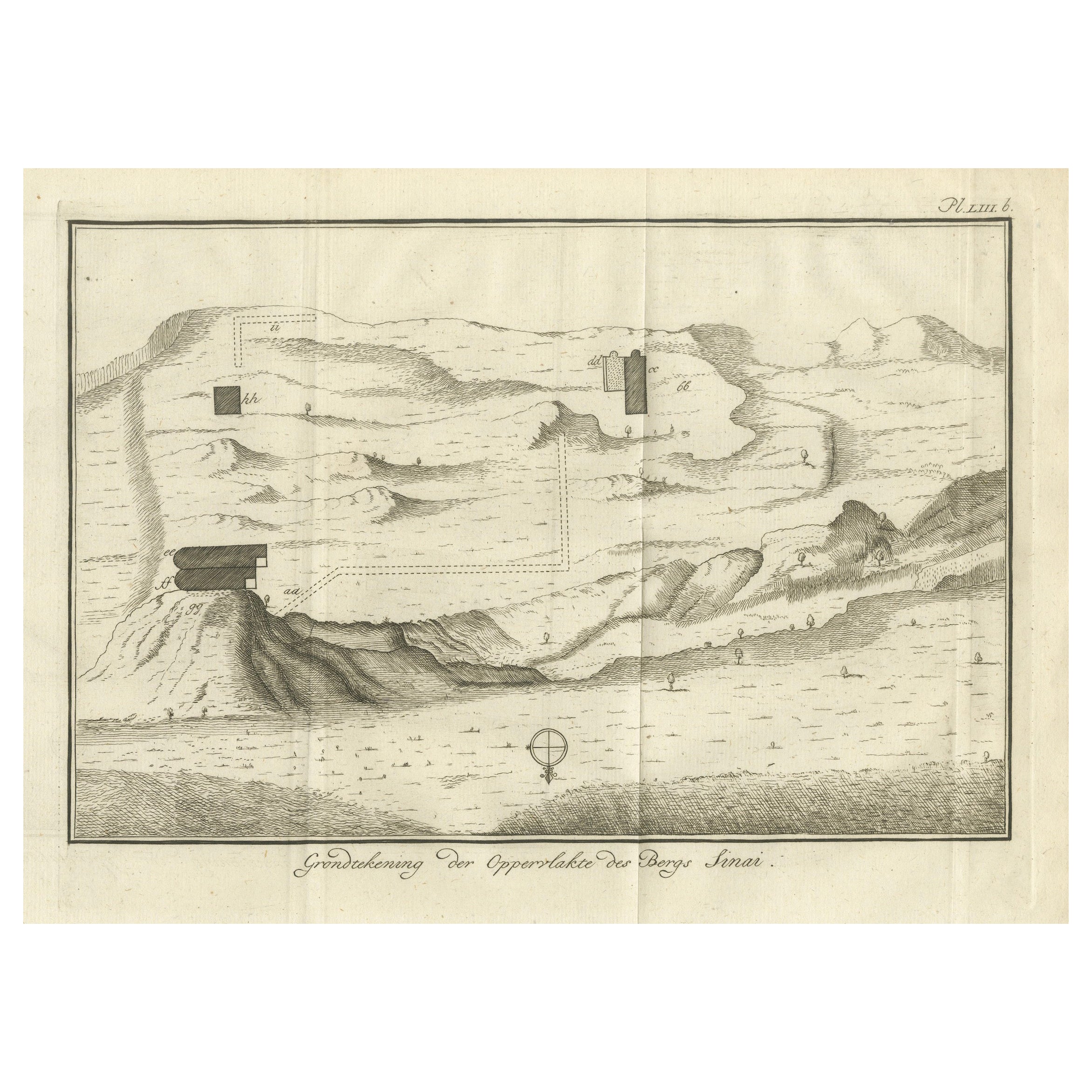
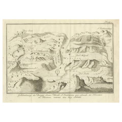
Topographic Map of Mount Sinai Summit – Antique Engraving by Pococke, 1776
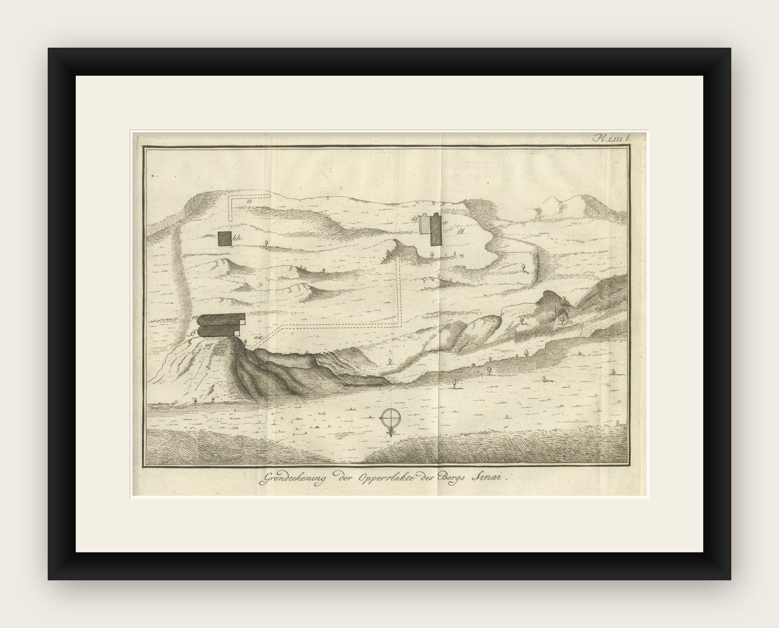
This antique engraving offers a rare and detailed view of the summit plateau of Mount Sinai, titled "Grondtekening der Oppervlakte des Bergs Sinai" (Ground Plan of the Summit of Mount Sinai). It originates from the Dutch edition of Richard Pococke's celebrated travel narrative, Beschryving van het Oosten (Description of the East), published in 1776 in Utrecht, Rotterdam, and Amsterdam.
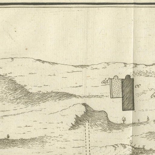
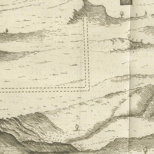
The print, marked Pl. LIII b., presents an aerial-style topographic rendering of the sacred mountain’s uppermost region, renowned as the traditional site where Moses received the Ten Commandments. Prominent buildings and features, including chapels and monastic enclosures, are delineated with shaded structures and labeled in lowercase script, possibly indicating cells, cisterns, or ecclesiastical constructions. The drawing employs delicate hachure lines to suggest elevation, slope, and rocky terrain, evoking the barren yet historically charged landscape of the Sinai Peninsula.
This map is part of Pococke’s wider survey of biblical lands and ancient topographies, which helped inspire Enlightenment-era interest in geography, sacred archaeology, and comparative history. Pococke, an English churchman and early explorer, traveled extensively in the Middle East, recording monuments, ruins, and religious sites with scholarly precision. His works were highly influential in European antiquarian circles and this Dutch edition, translated by Ernst Willem Cramerus, helped disseminate his findings further on the continent.
The engraving is both a cartographic document and a spiritual artifact, ideal for collectors of biblical history, Middle Eastern travel literature, or historical mapping.
Condition report:
Very good condition. Light age toning and a central fold as issued. A few minor creases and faint edge wear, particularly on the right side, but no tears or losses. The image is sharp with a strong impression.
Framing tips:
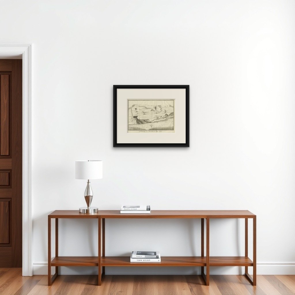
This engraving would look excellent in a dark wood or antique gilt frame with a cream or sand-colored mat to highlight its sepia tone. Suitable for display in a study, library, or alongside other religious or topographic prints.