Maps & PrintsBartele Gallery · Langweer
Home / Antique Maps / Asia / East Asia / China

China · 19th century

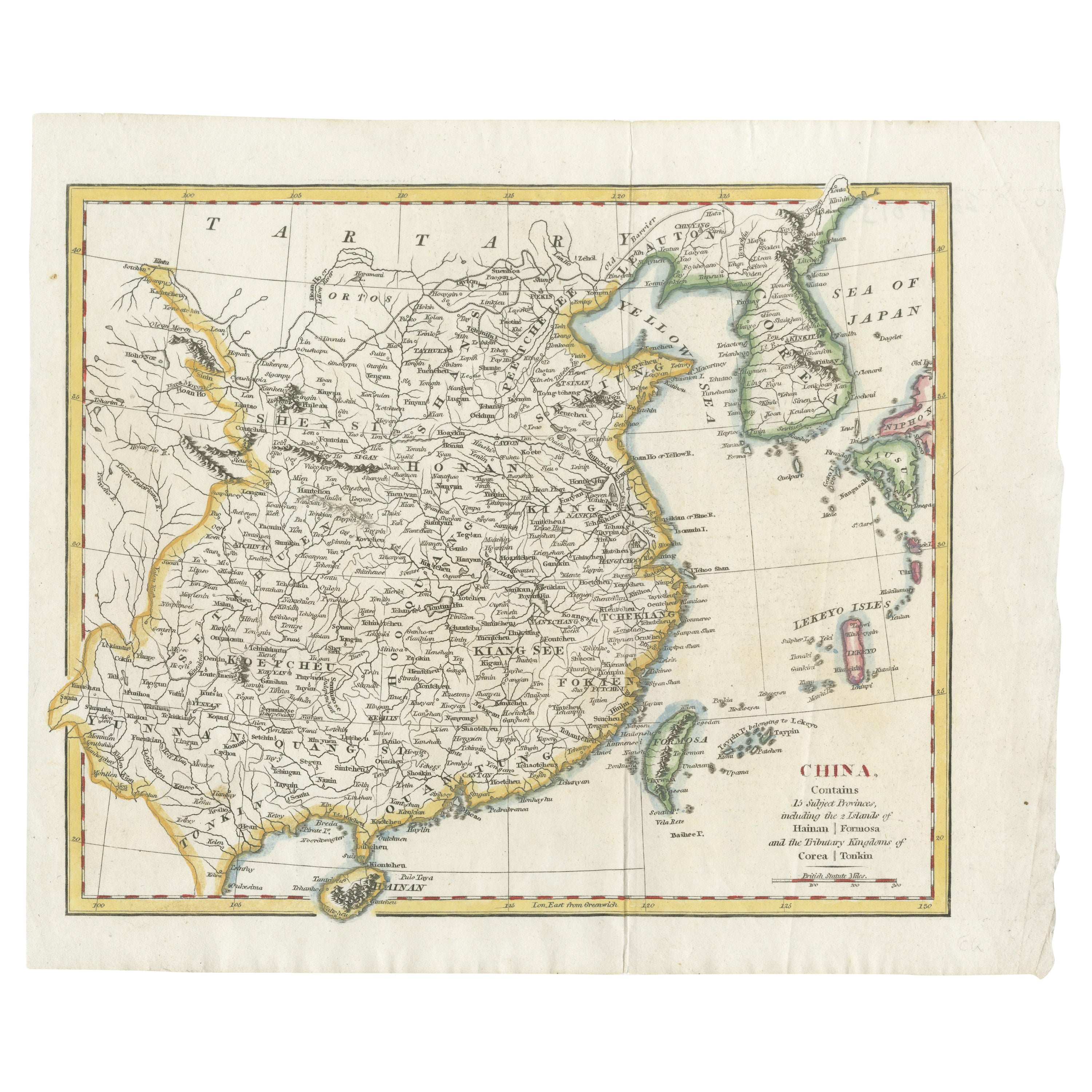
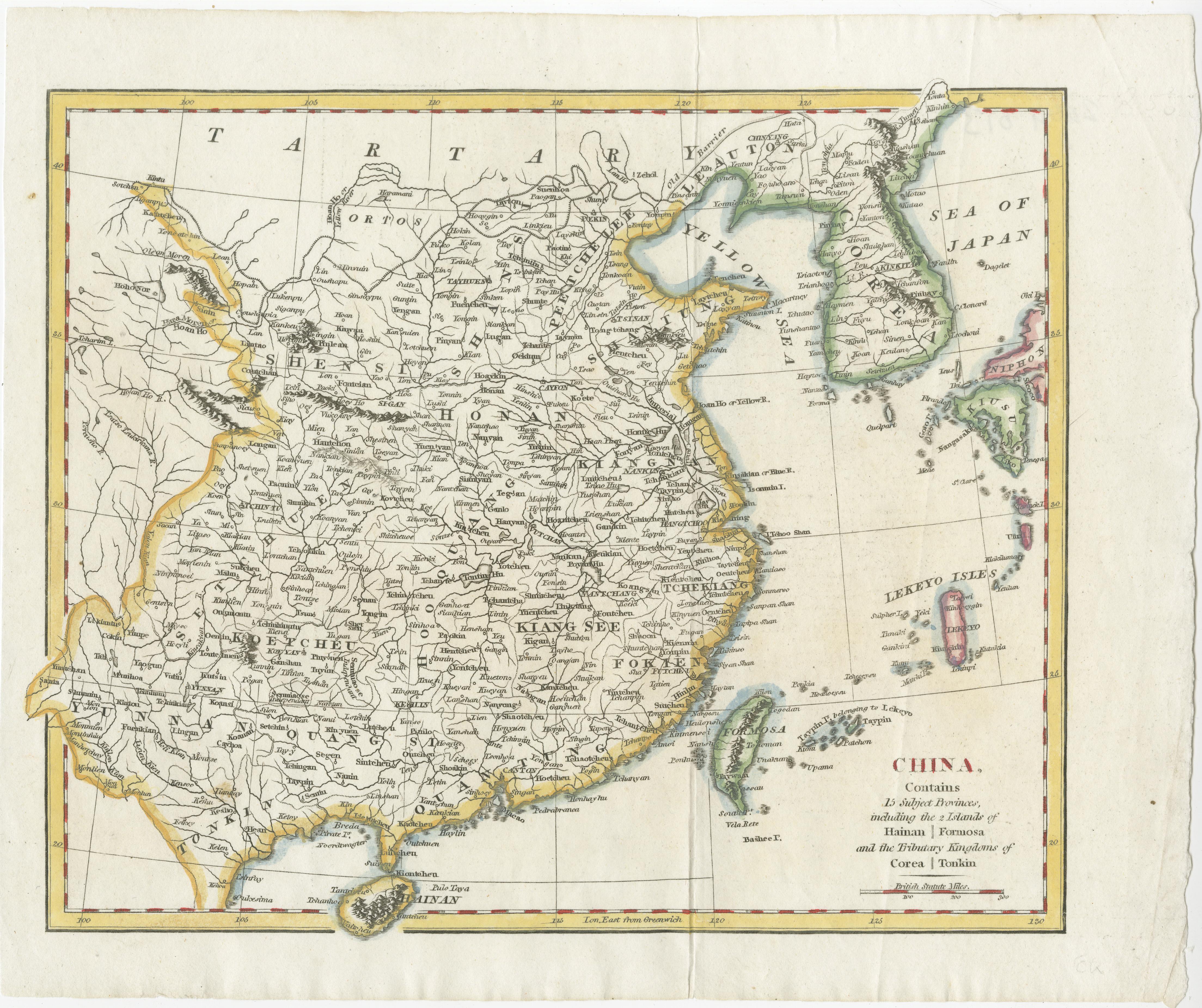
China with Hainan and Formosa Islands and the Kingdoms Corea and Tonkin, 1802

€ 290

One of a kind: this is the sheet in the photographs. Ships from Langweer, the Netherlands.

Date
1802
Sheet size
25.5 × 31 cm (10.0 × 12.2 in)
Condition
Good
Reference
BGSH-021

Condition

One corner with a tear but well outside the image in a wide margin. One vertical fold from the book in which the map was issued.
About this sheet

Antique map titled 'China, Contains 15 Subject Provinces Including the 2 Islands of Hainan, Formosa and the Tributary Kingdoms of Korea, Tonkin'.

Old map depicting China, extending from Korea and the Sea of Japan to Teypin Island in the south.

Originates from Wilkinson's 'A General Atlas, being a Collection of Maps of the World and Quarters the Principal Empires, Kingdoms &c. with their several Provinces & other subdivisions, correctly delineated'.

More from China

Ask about this sheet

China with Hainan and Formosa Islands and the Kingdoms Corea and Tonkin, 1802
1802 · Ref. BGSH-021 · € 290
We reply by email, usually within one working day.