Original Antique Map of the Western Part of NEW MEXICO & CALIFORNIA
€ 1 300
One of a kind: this is the sheet in the photographs. Ships from Langweer, the Netherlands.
Sheet size
32.5 × 34.8 cm (12.8 × 13.7 in)
Condition
Good
Reference
BG-13557
Condition
Good condition with some folds from the original work it was taken from. Please check the print carefully.
About this sheet
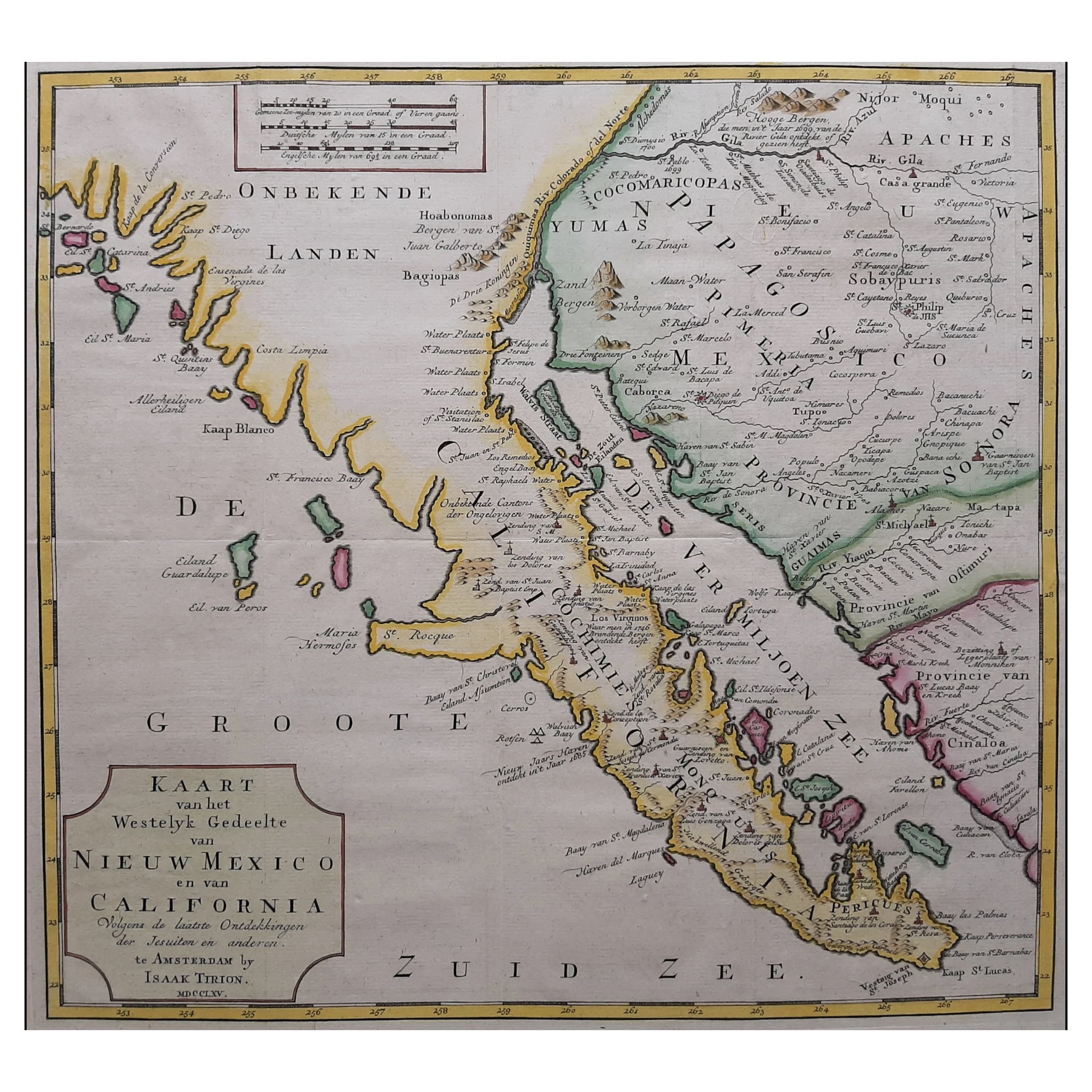
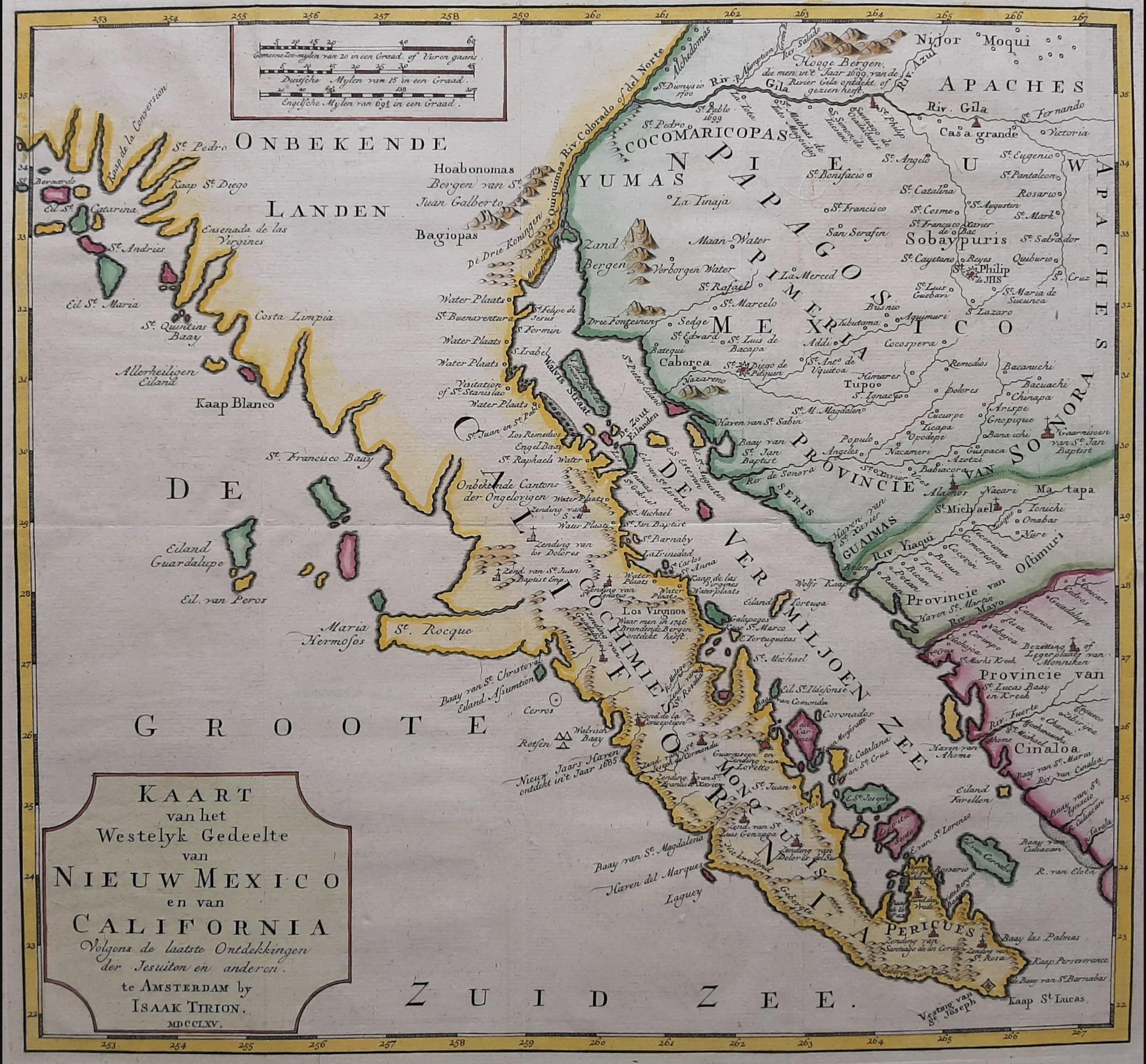
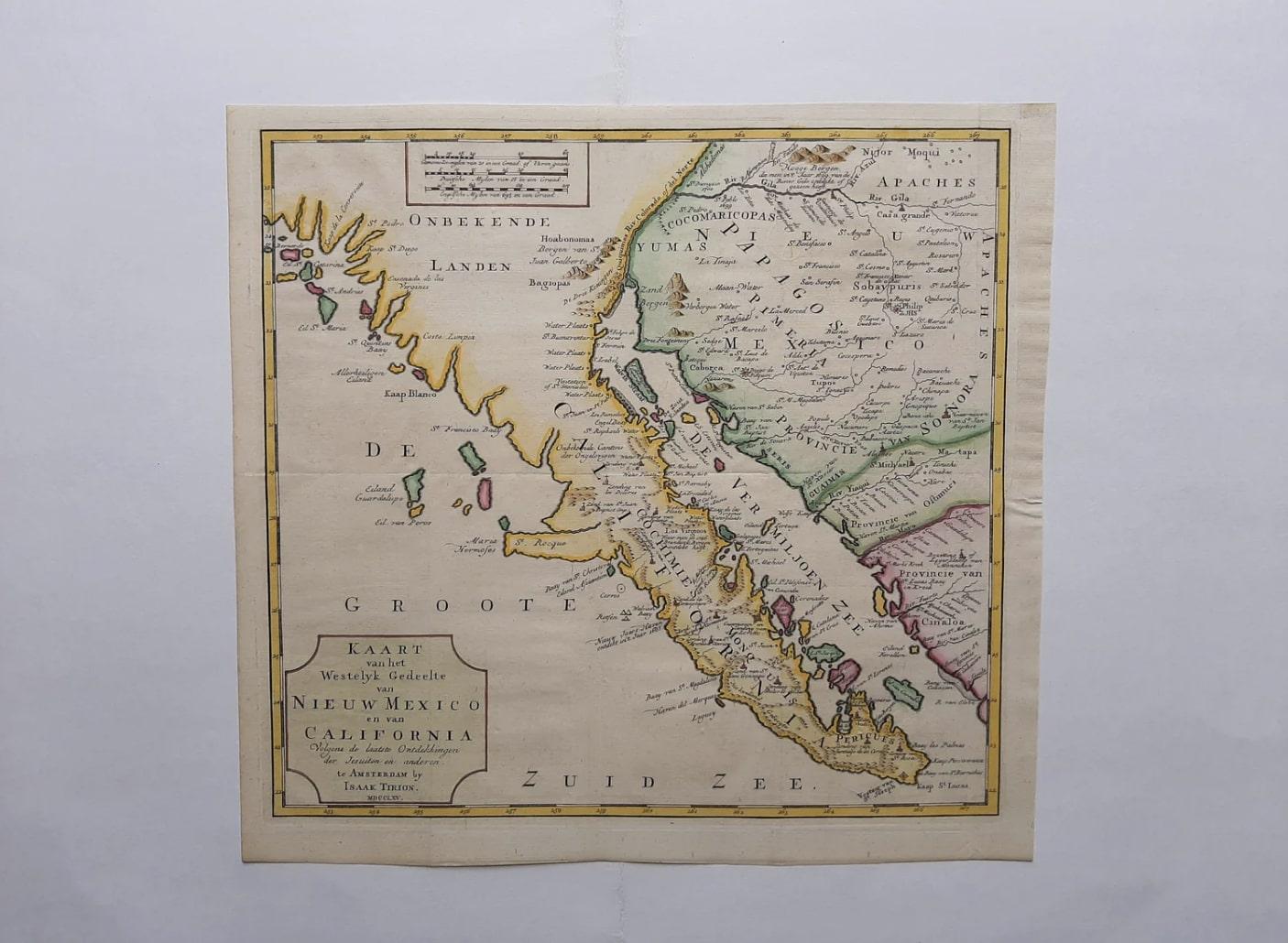
This exquisite original Dutch map, titled "KAART van het Westelyk Gedeelte van NIEUW MEXICO en van CALIFORNIA Volgens de laatste Ontdekkingen der Jesuiten en anderen," is a hand-colored copper engraving published in Amsterdam in 1765 by Isaak Tirion. It provides a captivating glimpse into the early exploration of the enchanting American region of New Mexico and California.
The craftsmanship of the copper engraving is evident in the precise lines and intricate details of the map. The addition of hand-colored elements brings a vibrant touch to the geographical features and topography of the area.
The "Map of the Western Part of NEW MEXICO and CALIFORNIA" showcases a vast territory extending from the Gulf of California in the west to the border of New Mexico in the east. The coastline of California is depicted in detail, featuring bays, inlets, and islands.
The map also highlights various settlements, villages, and missions, reflecting the colonization and influence of Spanish and European explorers. Names of important cities such as San Diego, Los Angeles, and San Francisco are proudly displayed, bearing witness to the early presence of European settlers in the region.
The "Map of the Western Part of NEW MEXICO and CALIFORNIA" is not only a historical document of geographical discovery but also an artwork in its own right. It seamlessly combines science, art, and history, making it a valuable piece for cartographic collectors and enthusiasts of historical and artistic works.
With its meticulous details, vibrant colors, and historical significance, this original hand-colored copper engraving by Isaak Tirion is a splendid addition to any collection, offering a captivating visual journey through the western part of New Mexico and California as observed in the 18th century.