Maps & PrintsBartele Gallery · Langweer
Home / Antique Maps / America / Central America & Caribbean

Central America & Caribbean

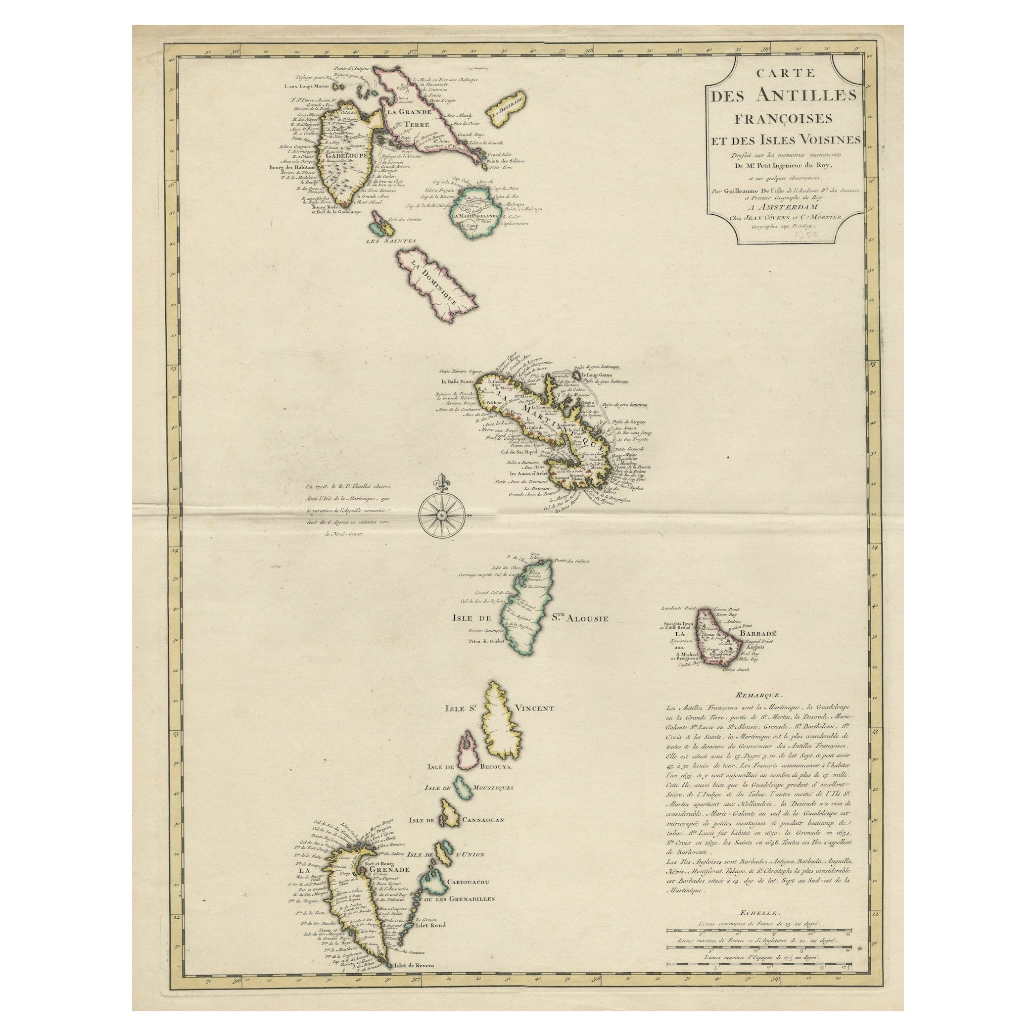
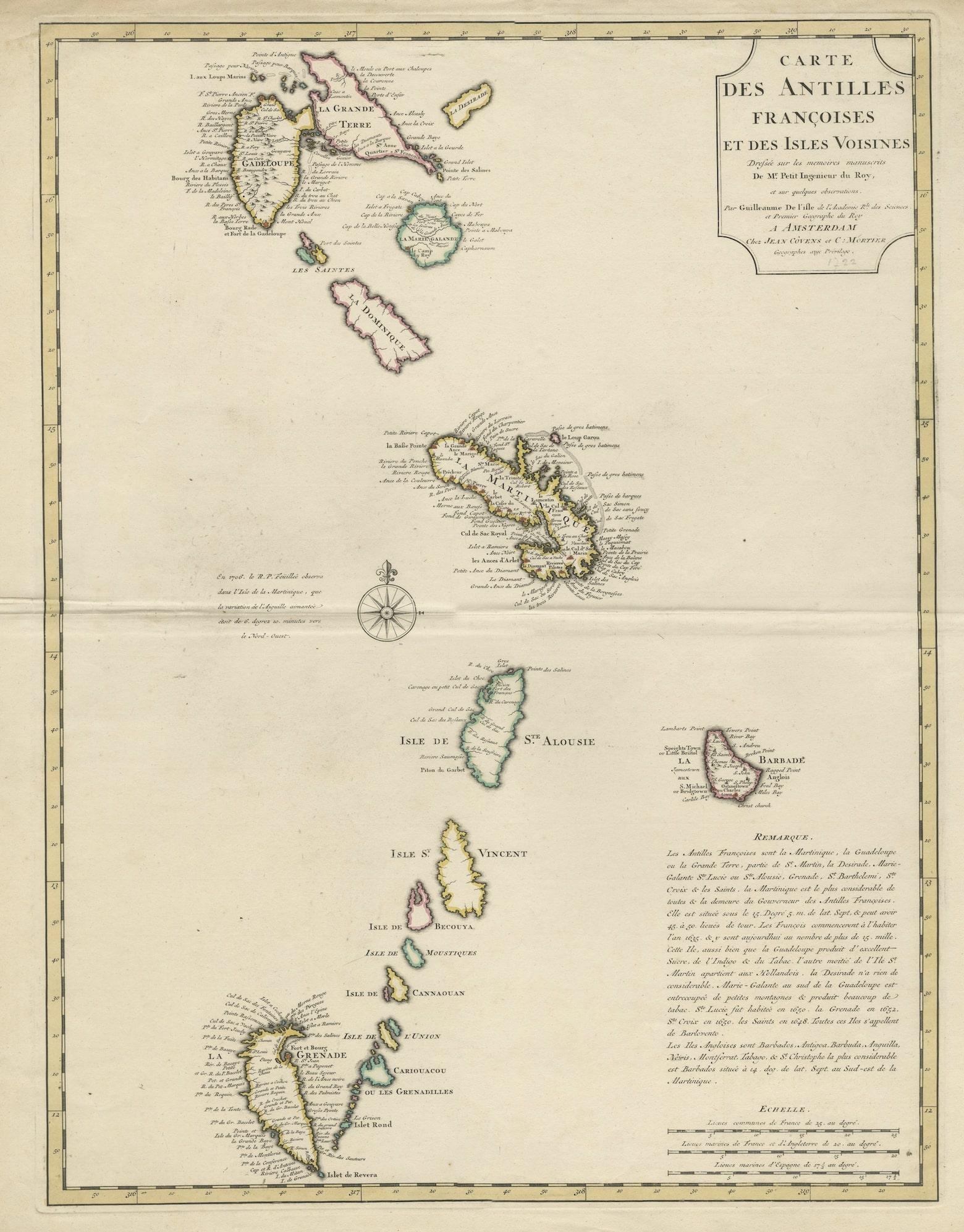

Detailed Antique Map of the Windward Islands in the Caribbean

€ 940

One of a kind: this is the sheet in the photographs. Ships from Langweer, the Netherlands.

Mapmaker / artist
Covens & Mortier
Sheet size
65 × 55.5 cm (25.6 × 21.9 in)
Condition
Good
Reference
BG-13252

Condition

Wear consistent with age and use. Original/contemporary outline color. General age-related toning. Shows some soiling and wear, mainly in margins. Blank verso. Please study images carefully.
About this sheet

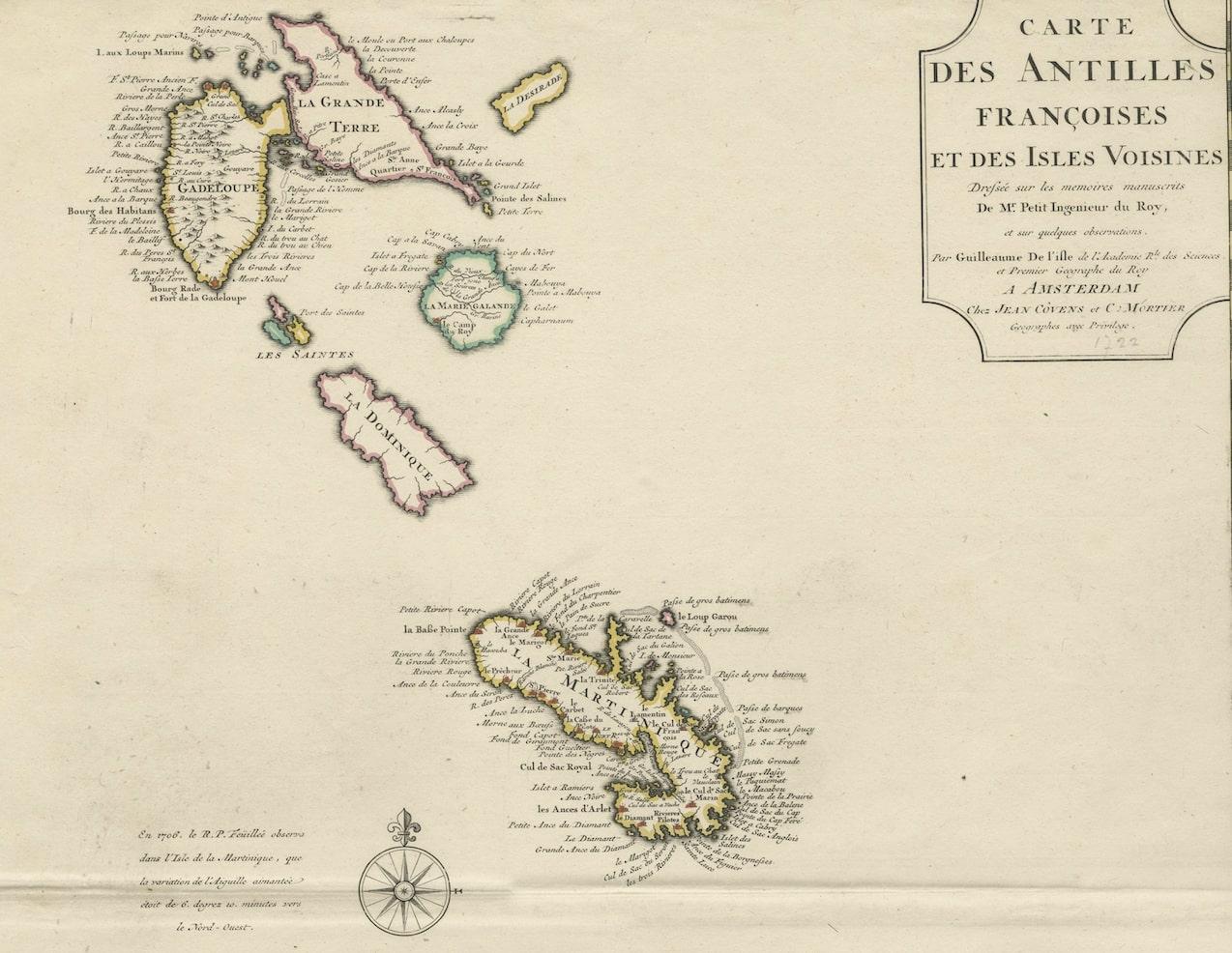
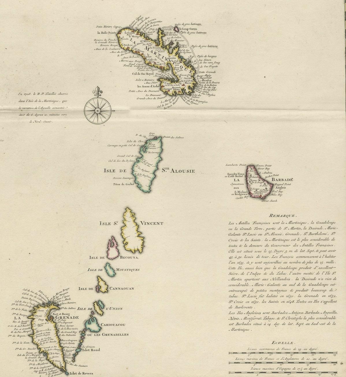
Antique map titled 'Carte des Antilles Francoises et des Isles Voisines'. Original antique map of the French Antilles, covering an area stretching from Guadeloupe in the north to Grenada in the south. This is the Amsterdam edition of the map, printed by Covens & Mortier. Published circa 1722.

More from Central America & Caribbean

Ask about this sheet

Detailed Antique Map of the Windward Islands in the Caribbean
Ref. BG-13252 · € 940
We reply by email, usually within one working day.