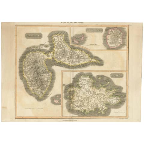
Old 18th Century Composite Map of Key Caribbean Islands with Descriptive Texts
€ 780
One of a kind: this is the sheet in the photographs. Ships from Langweer, the Netherlands.
Sheet size
54 × 61.5 cm (21.3 × 24.2 in)
Condition
Good
Reference
BG-13618-1
Condition
two small pieces of tape on the reverse. General age-related toning, a few stains and small tears outside the plate mark or image. Please study image carefully. Vibrant colors.
About this sheet
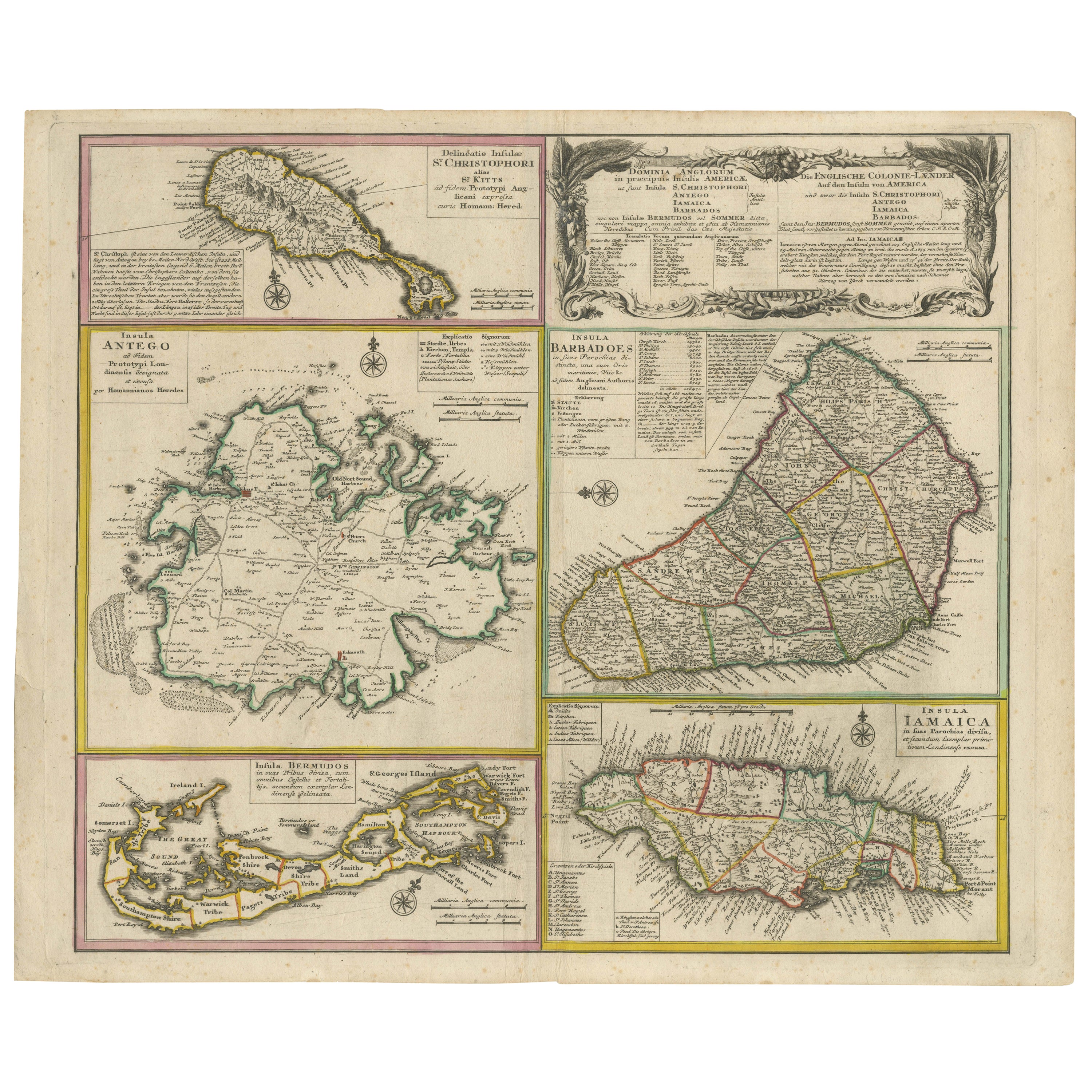
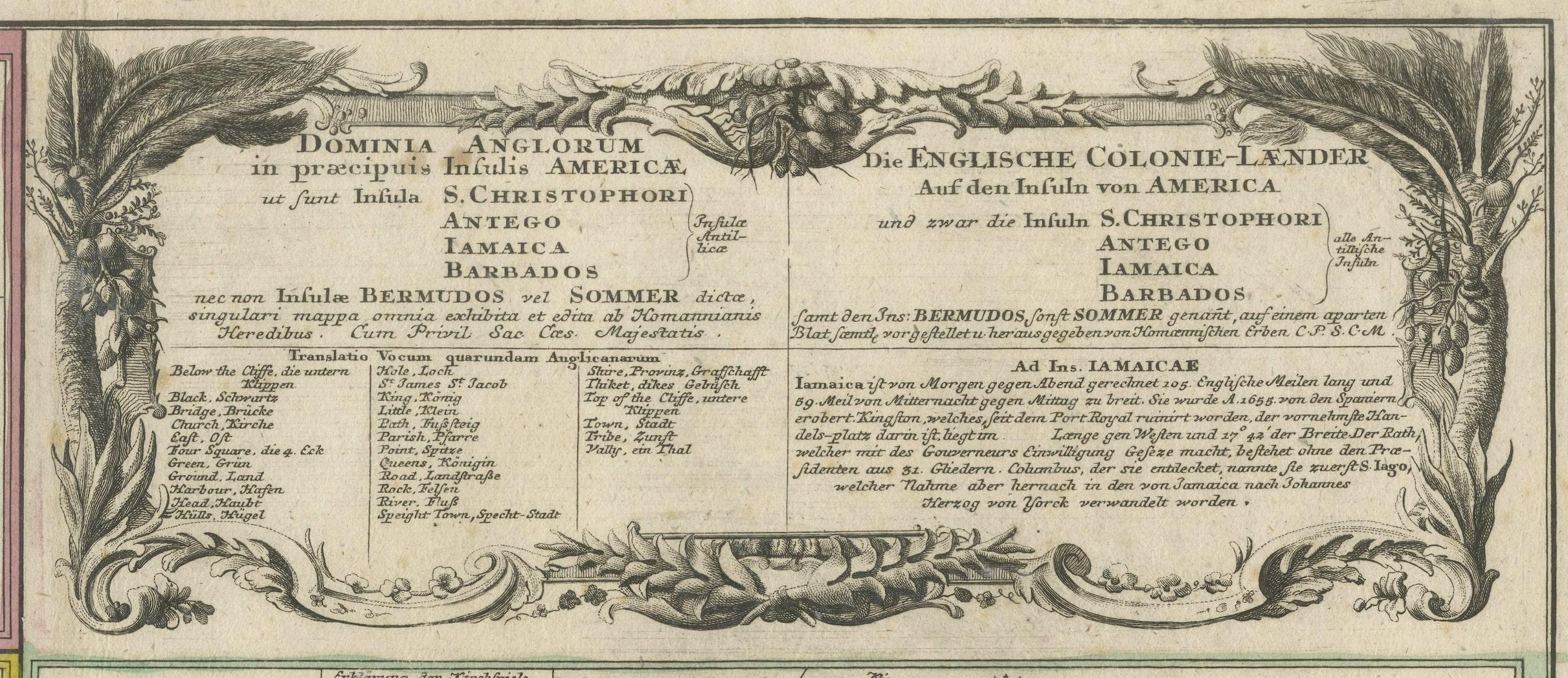
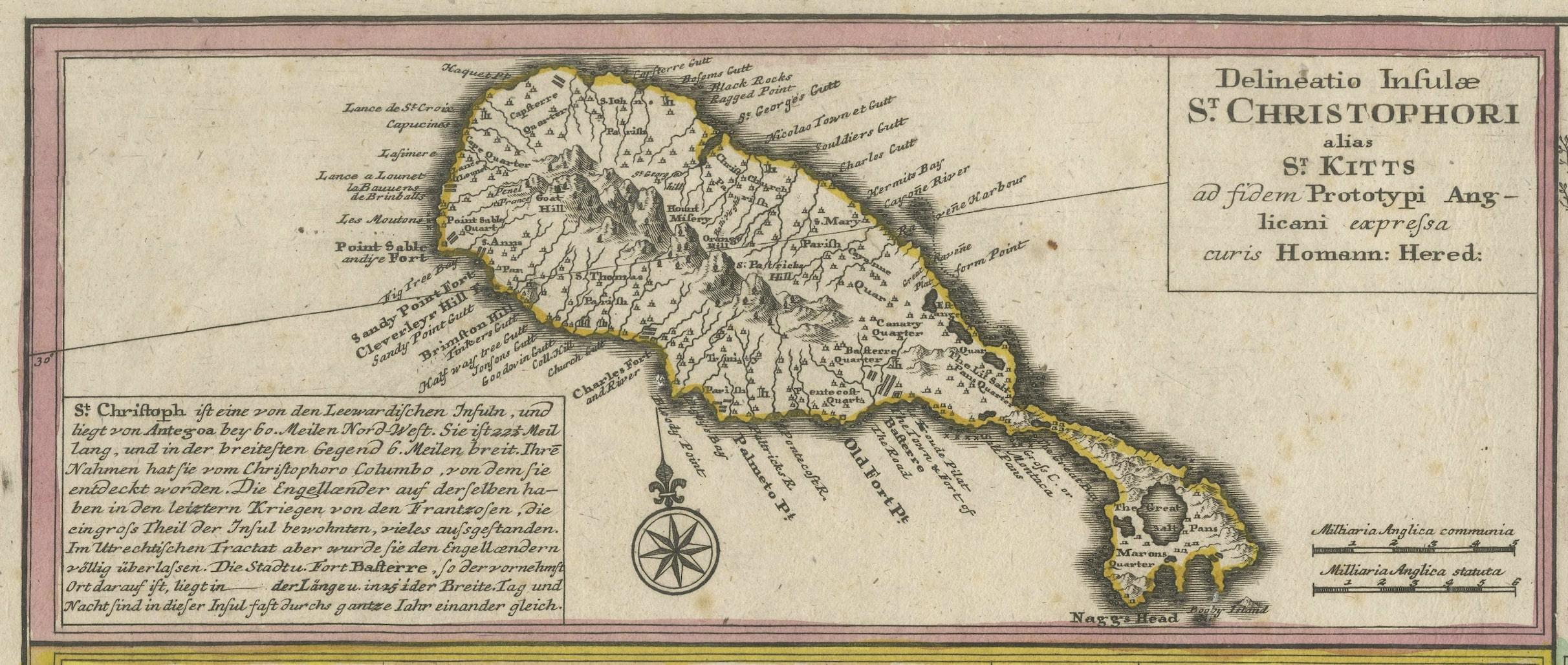
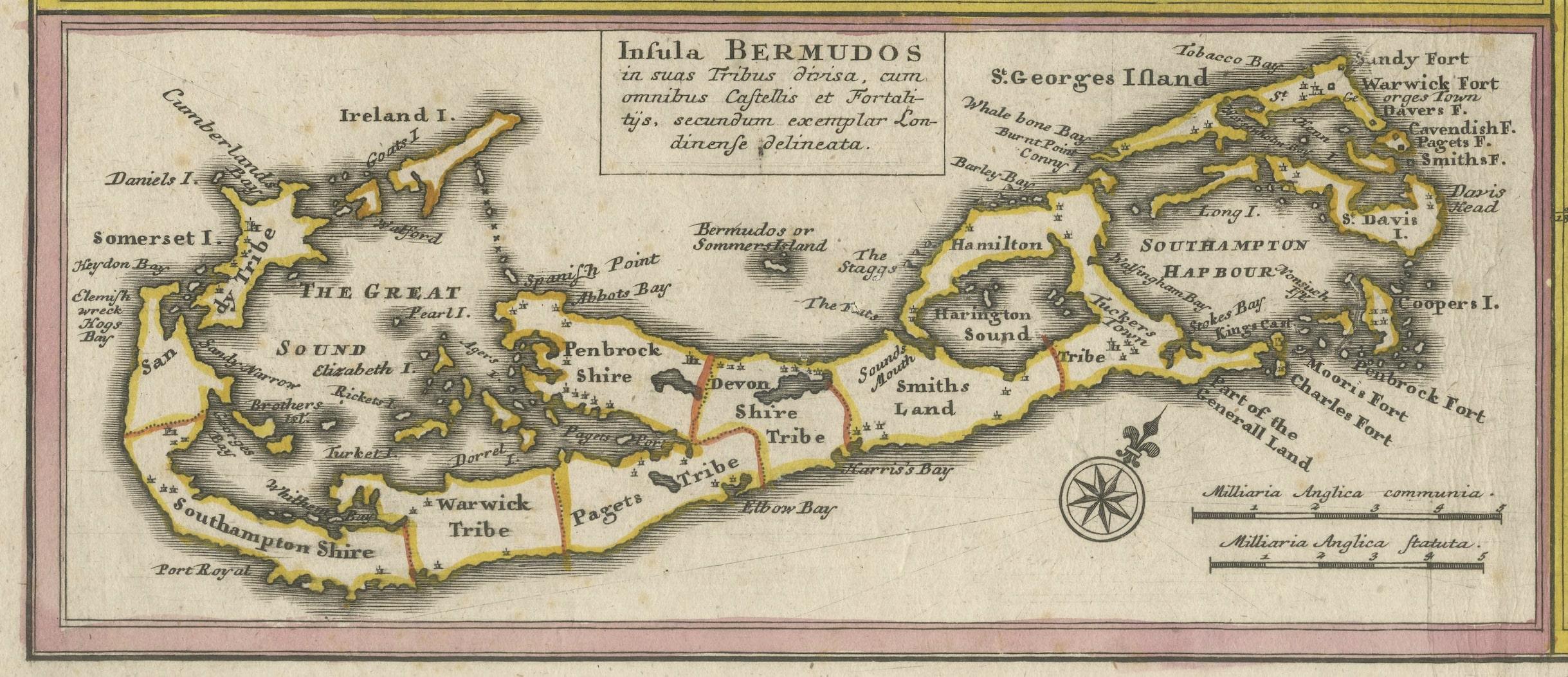
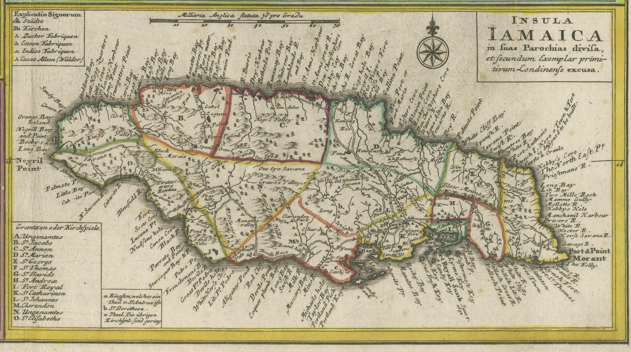
Antique map titled 'Dominia Anglorum in praecipuis Insulis Americae ut sunt Insula S. Christophori, Antegoa, Iamaica, Barbados nec non Insulae Bermudes vel Sommers dictae. Die Englische Colonie-Länder Auf den Insuln von America und zwar die Insuln S. Christophori, Antegoa, Iamaica, Barbados samt den Ins. Bermudes sonst Sommers genannt'.
Beautiful map of the British possessions in the Caribbean. Shows the islands of Saint Christopher or Saint Kitts, Antigua, Bermuda, Barbados, and Jamaica.
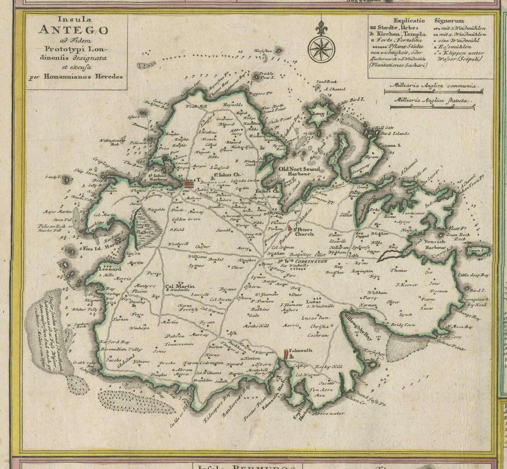
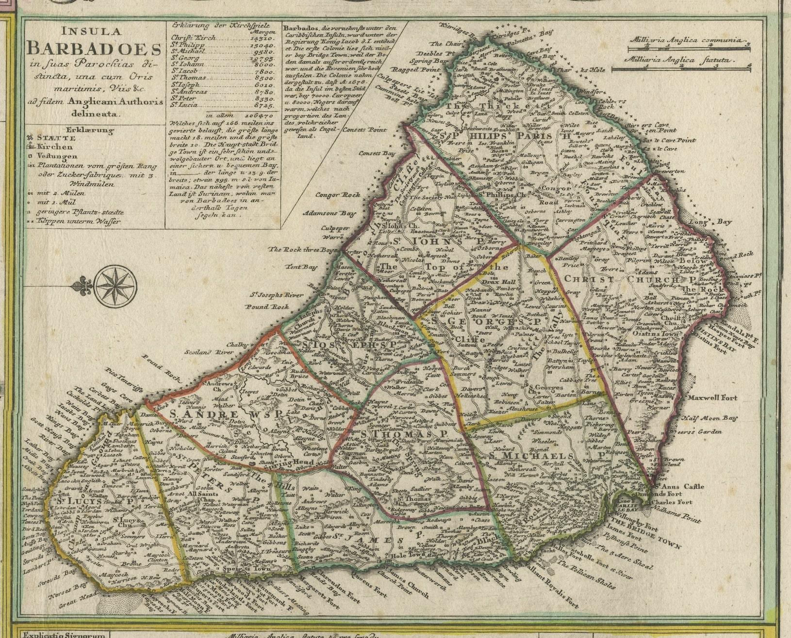
This is an elaborate composite map featuring several islands of the Caribbean, each framed within its own colored border and accompanied by descriptive text. The map includes the islands of St. Kitts, Antigua, Barbados, Bermuda, and Jamaica, each meticulously detailed with topographical features, parish borders, and notable settlements.
A prominent feature of this map is the extensive textual descriptions and tables accompanying each island, providing insights into the colonial administration, economic resources, and demographic information of the time. The maps are adorned with ornamental cartouches, which was a common stylistic element of maps from this era, showcasing the artistic flair of the cartographer.
The map is from the 18th century, as you can see by the style of the cartouches and the typography used in the descriptions. The hand coloring on each map is still vibrant, indicating careful preservation. The paper shows signs of age but with all text and cartographic details remaining legible.
Artists and Engravers: Following the long period of Dutch domination, the Homann family became the most important map publishers in Germany in the eighteenth century, the business being founded by J.B. Homann in Nuremberg about the year 1702. Soon after publishing his first atlas in 1707 he became a member of the Berlin academy of Sciences and in 1715 he was appointed Geographer to the Emperor. After the founder's death in 1724, the firm was continued under the direction of his son until 1730 and was then bequeathed to his heirs on the condition that it trades under the name of Homann Heirs. The firm remained in being until the next century and had a wide influence on map publishing in Germany.