About this sheet
North America Map with USA, Canada & Mexico – Nieuwe Hand-Atlas, 1876
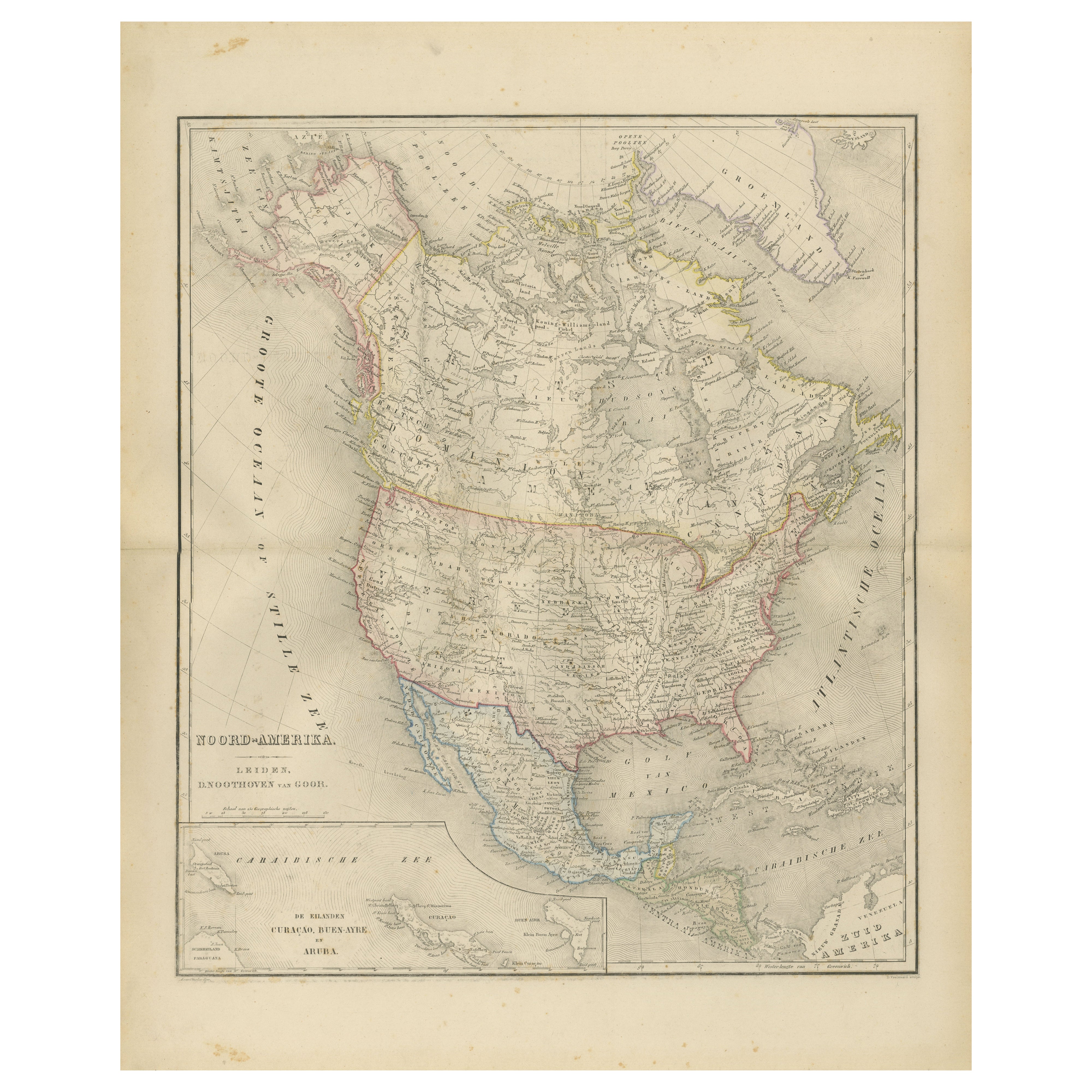
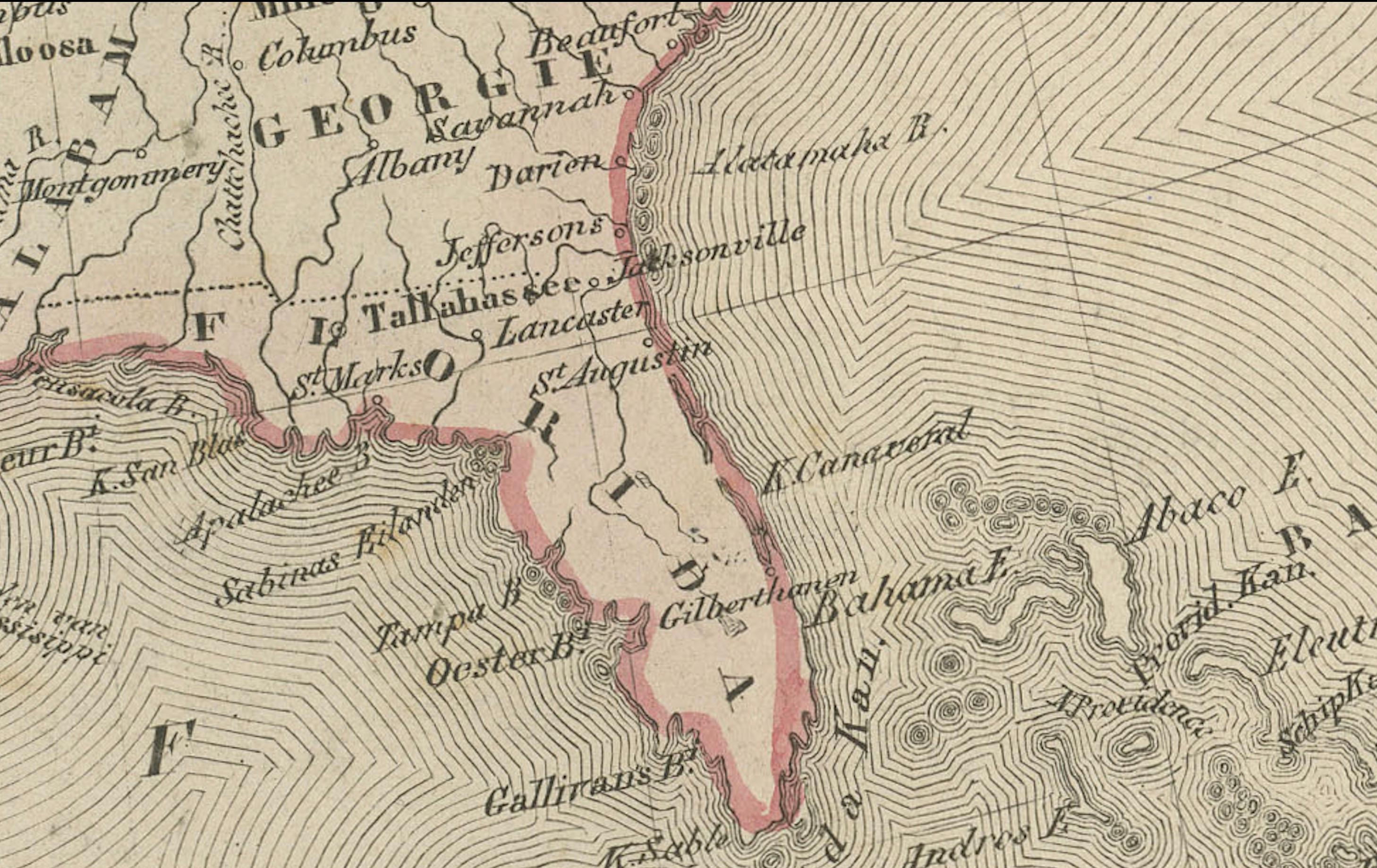
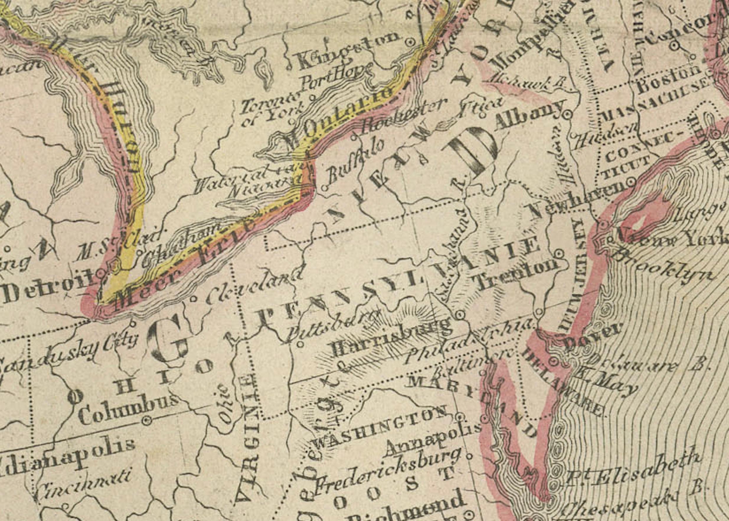
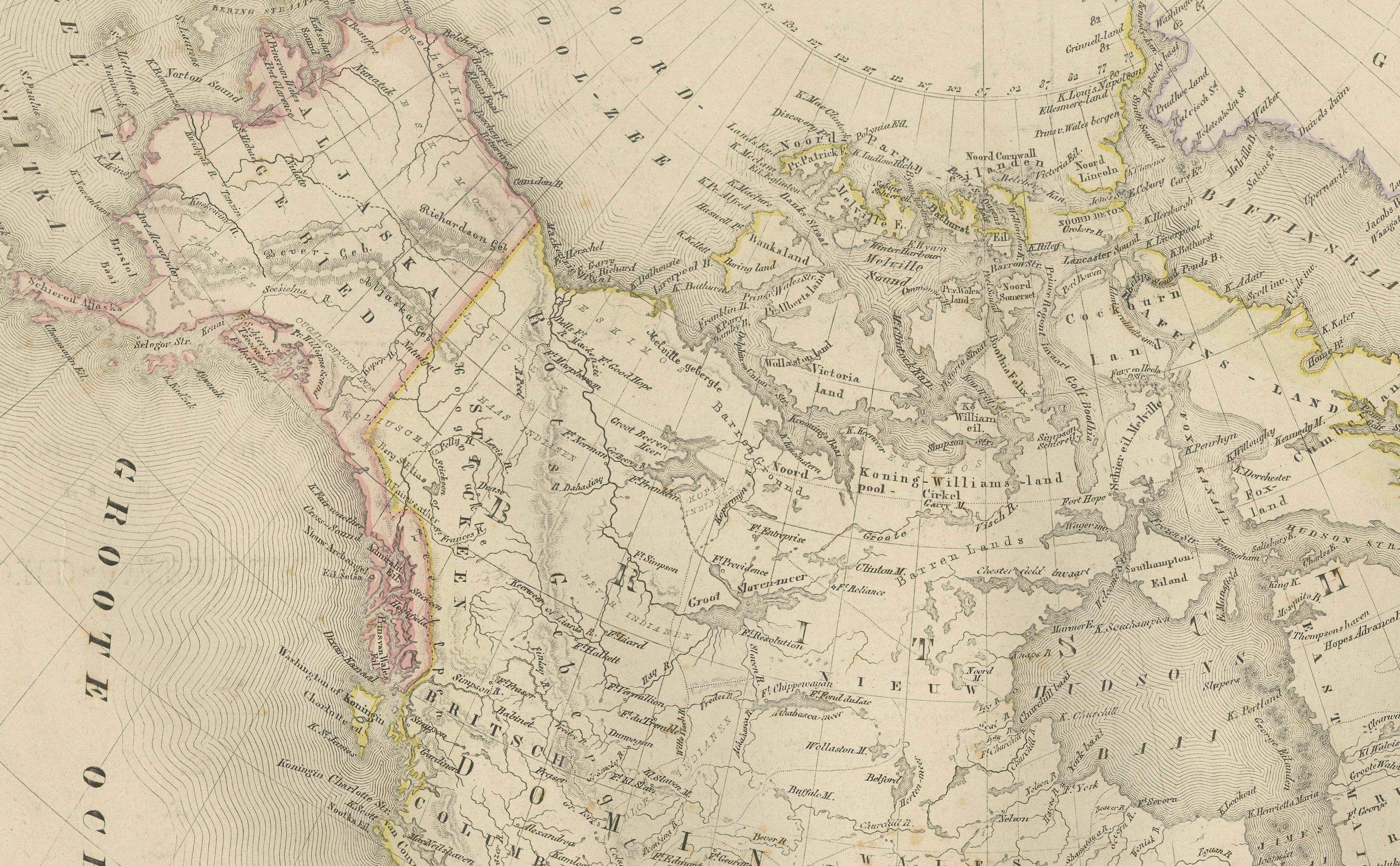
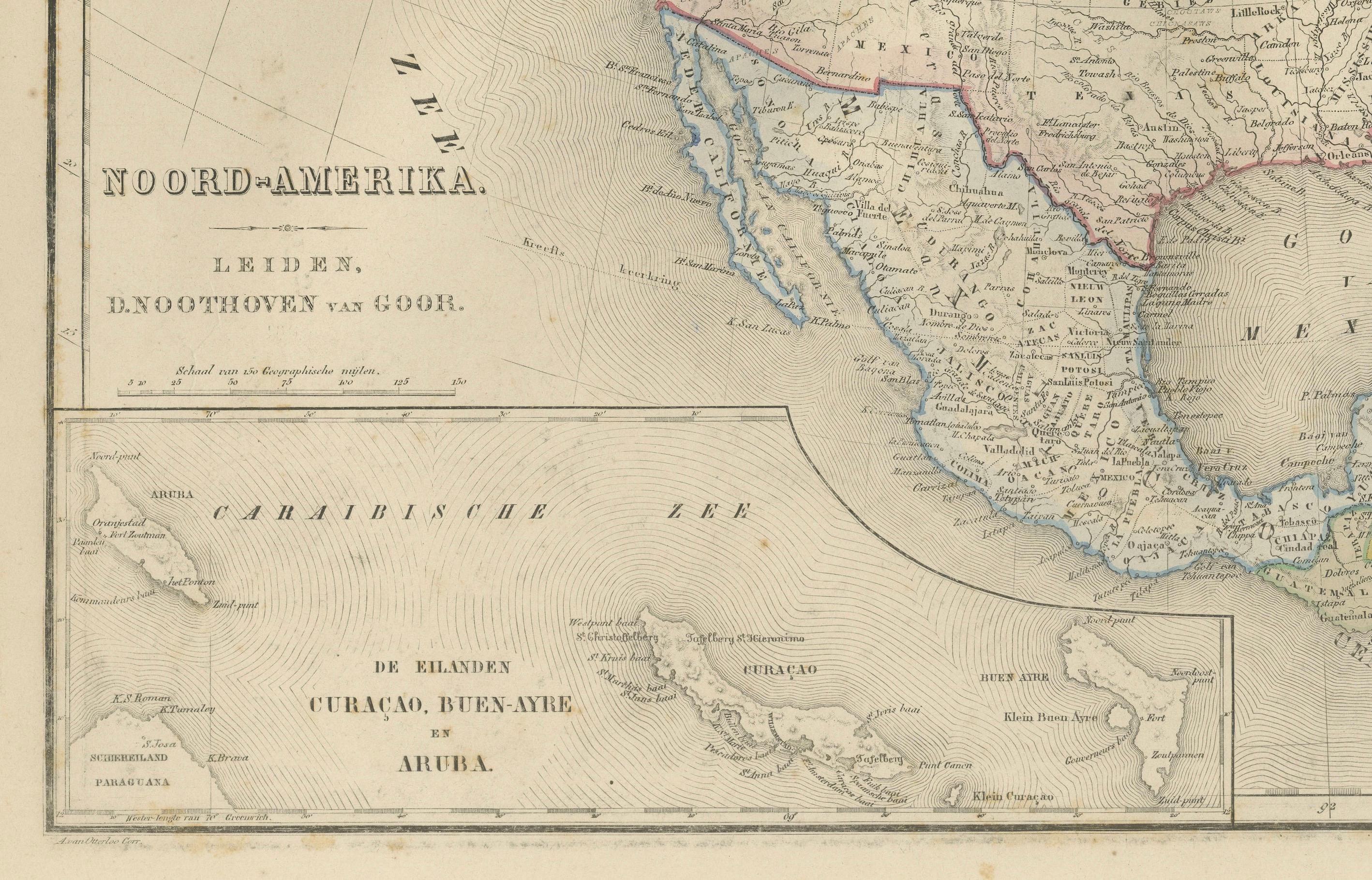
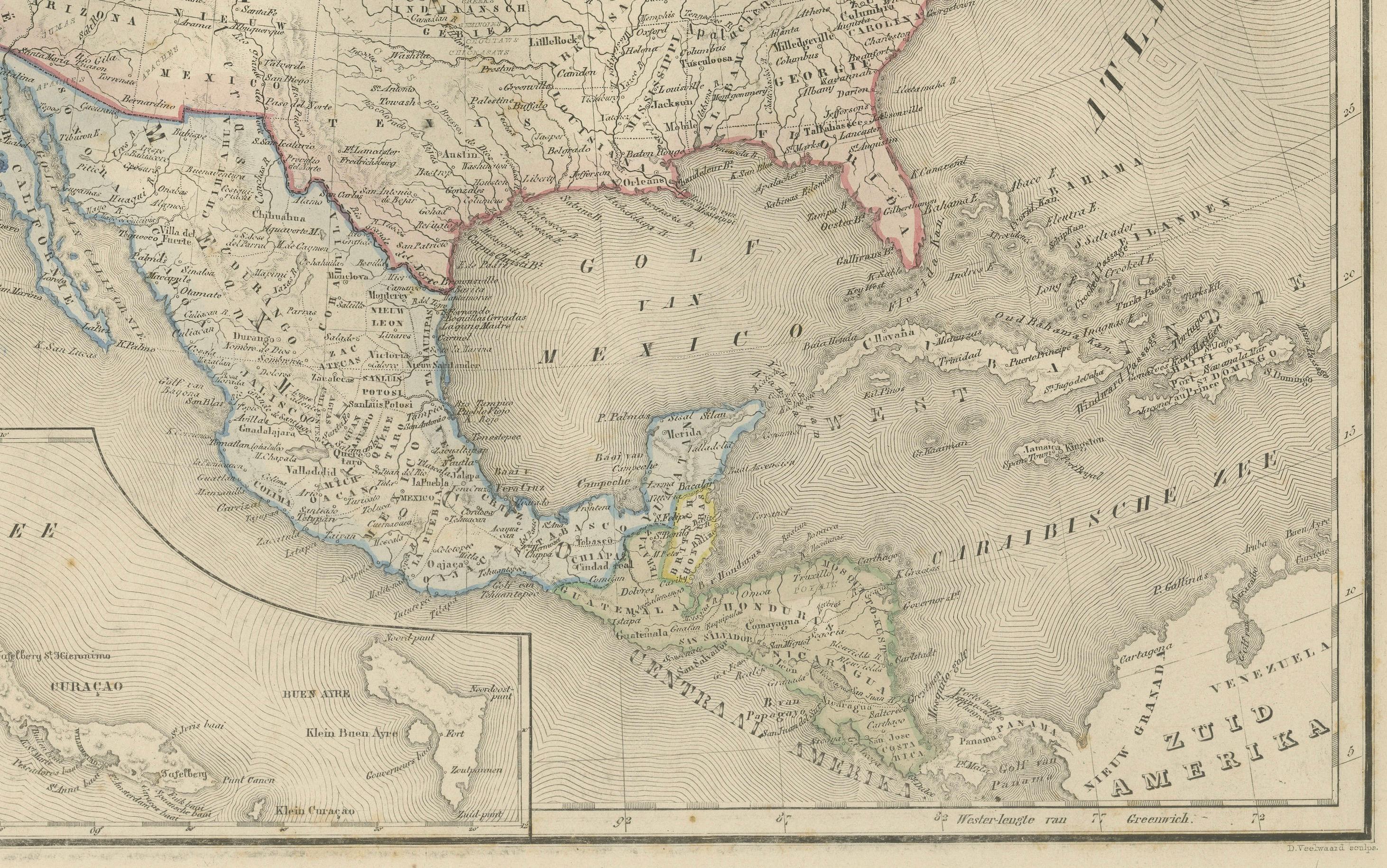
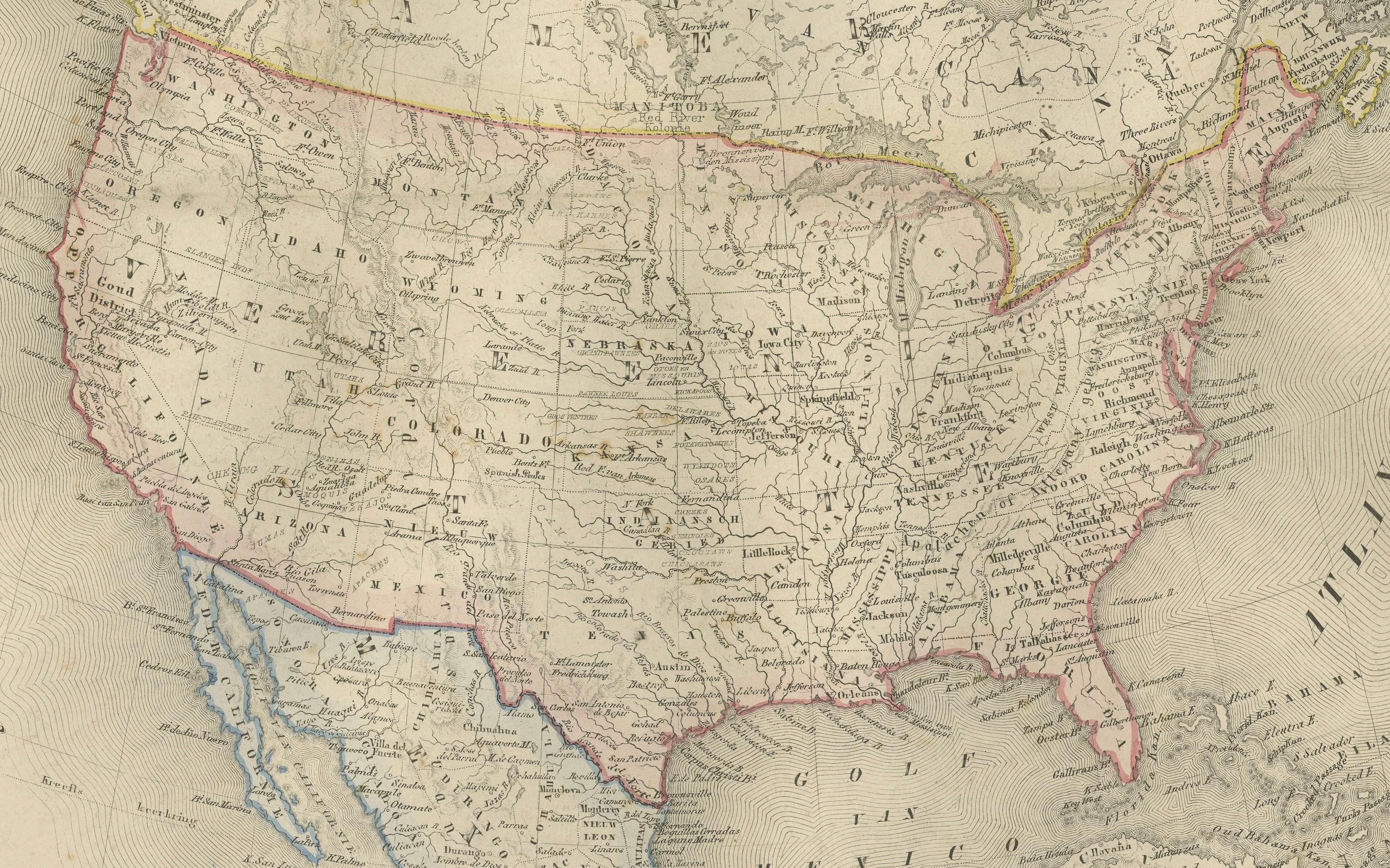
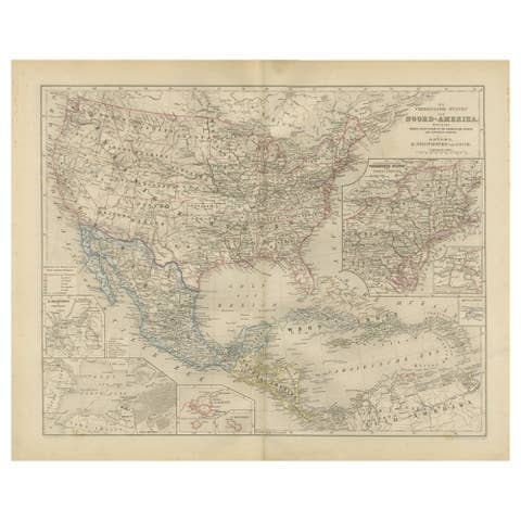
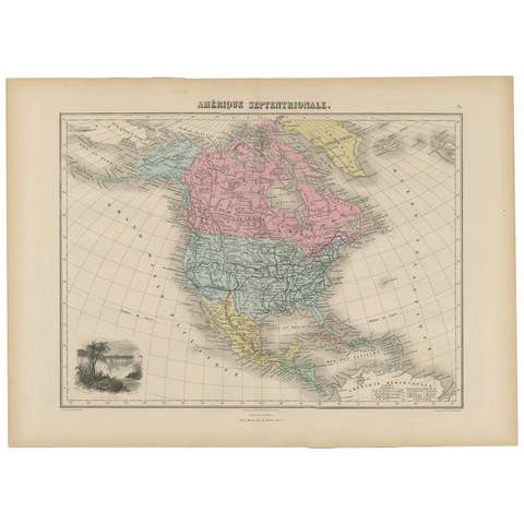
This finely engraved 19th-century map of “Noord-Amerika,” published in 1876 by D. Noothoven van Goor of Leiden for the Nieuwe Hand-Atlas der Aarde in haren Tegenwoordigen Toestand, presents a remarkably detailed view of the entire North American continent during a period of rapid territorial, political, and infrastructural development. Drawn and engraved in the precise Dutch cartographic style of the late 19th century, the map combines geographic clarity with subtle hand-coloring that outlines the major national and regional boundaries of the era.
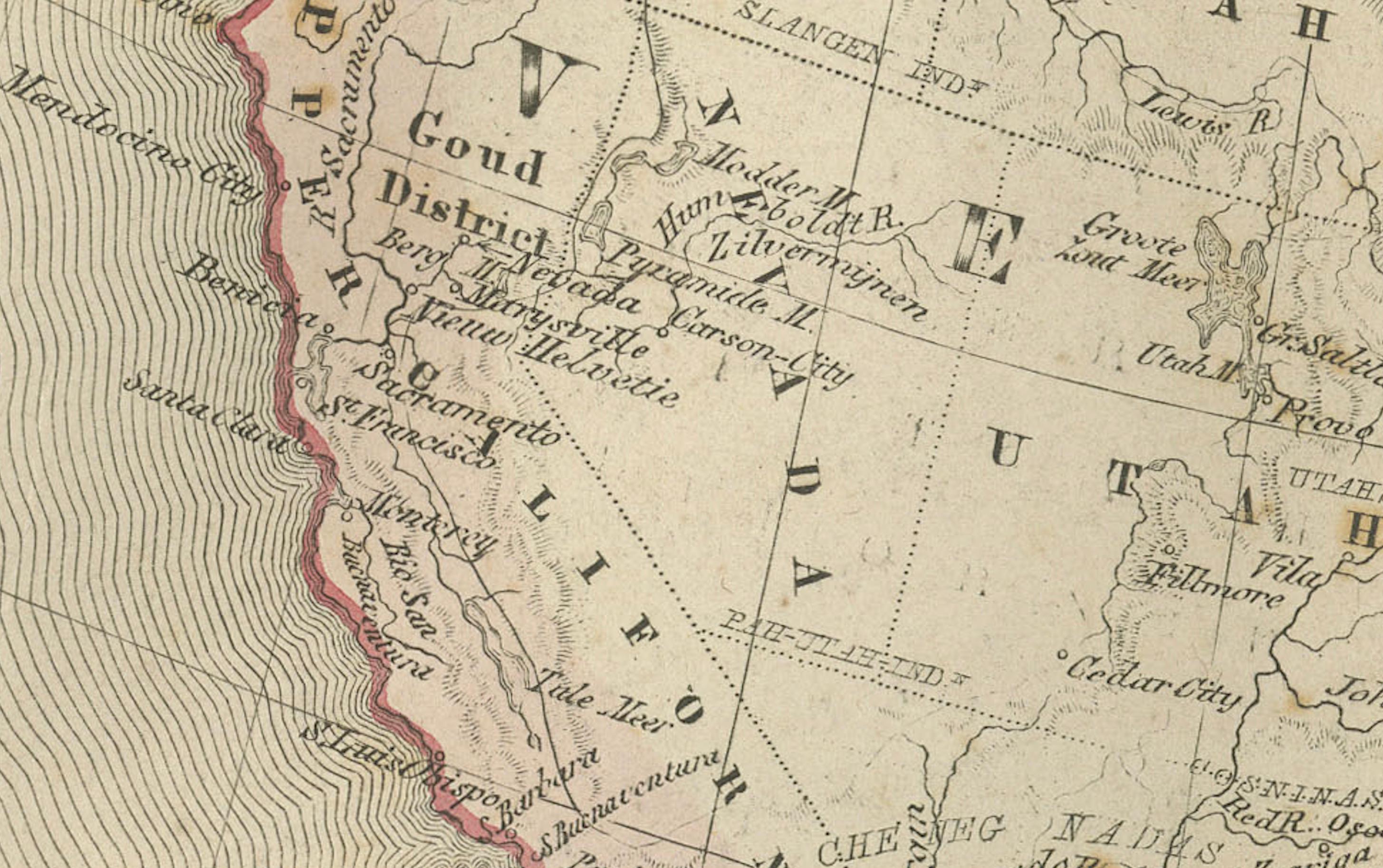
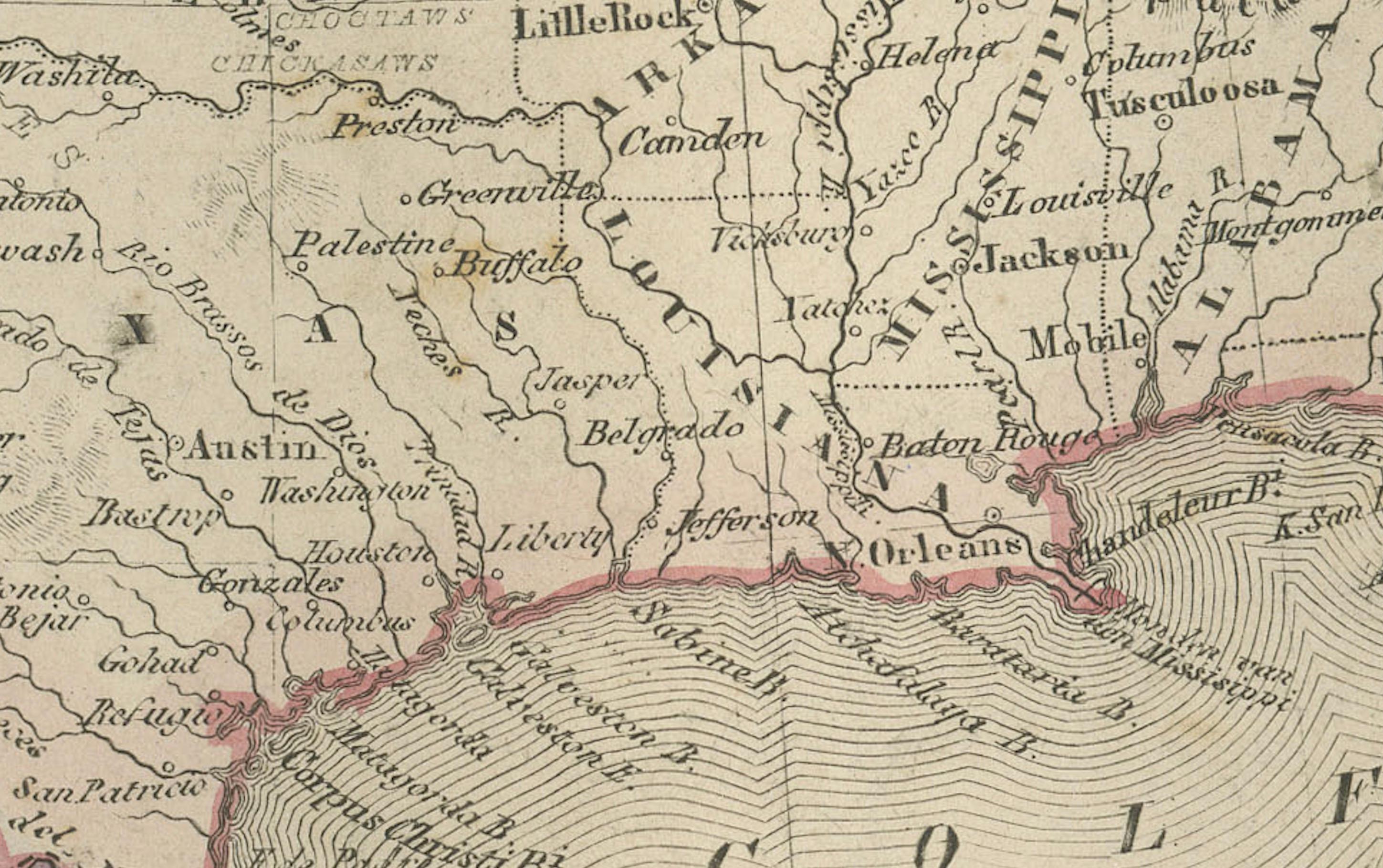
The United States is shown after its westward expansion had largely been consolidated, with clear state boundaries extending to the Pacific. The depiction includes major rail routes, rivers, and mountain systems that helped define both settlement patterns and commerce in the decades following the Civil War. The southern border with Mexico reflects the post–Gadsden Purchase configuration, while in Canada, the map presents the early provincial structures forming in the newly established Dominion (1867). Key cities such as New York, Washington, San Francisco, New Orleans, Chicago, Toronto, and Mexico City are clearly labeled.
Particularly fascinating is the representation of the American West and the Canadian North. Much of the interior of Alaska—purchased from Russia less than a decade earlier, in 1867—remains sparsely mapped, with indications of mountain ranges, indigenous territories, and exploratory routes. Northern Canada is labeled with large geographical regions rather than administrative divisions, reflecting the limited documentation available at the time. The Rocky Mountains, Sierra Nevada, and Appalachian ranges are rendered with fine engraved shading, giving the map strong topographical character.
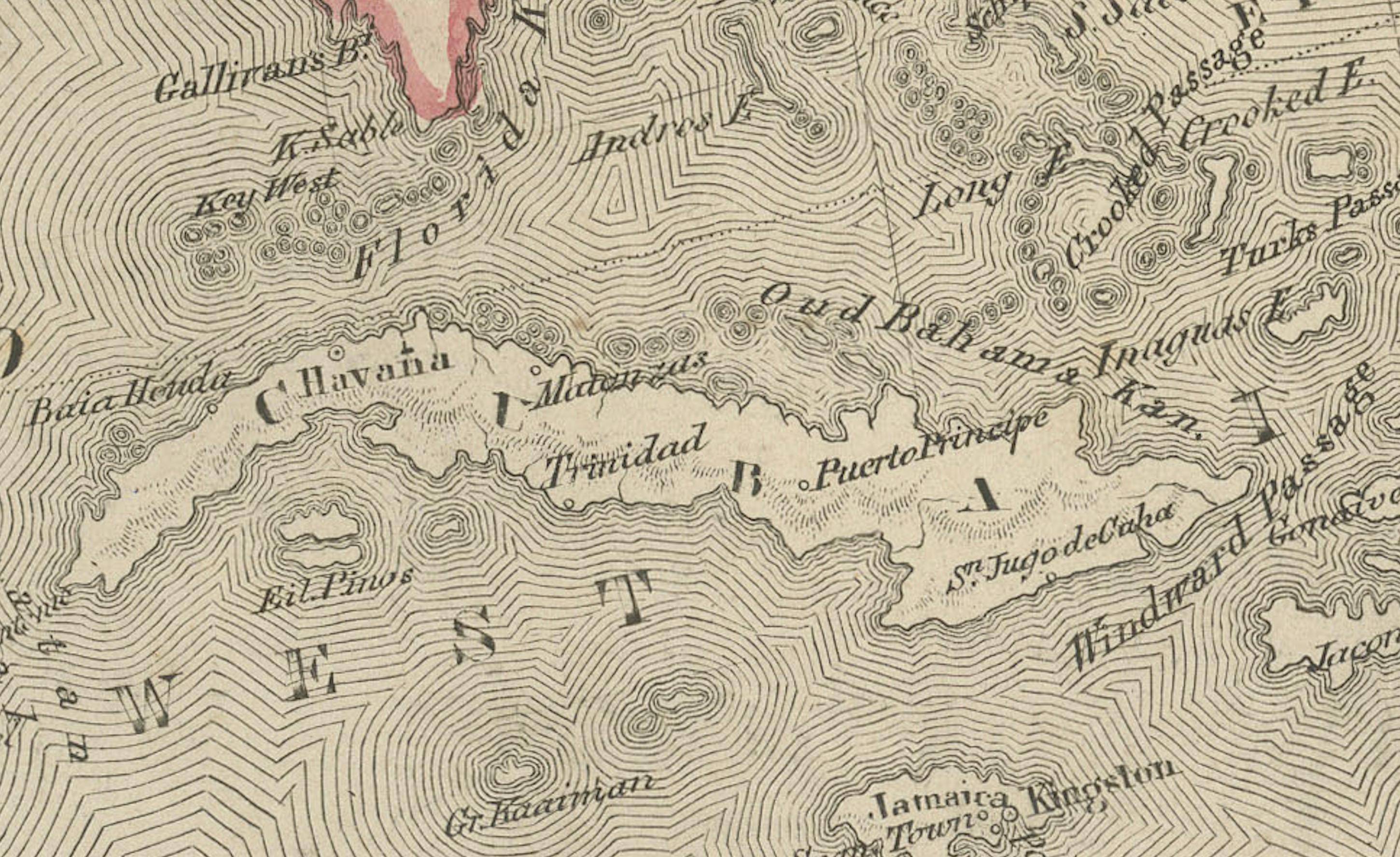
The Caribbean is also included, with an inset highlighting the Dutch Antilles: Curaçao, Bonaire, and Aruba. This adds a touch of colonial-era specificity and further strengthens the Dutch perspective of the atlas from which this map originates.
The engraving quality is crisp and balanced, and the hand-applied pastel border colors provide clarity without overpowering the geographic detail. As a historical document, the map captures North America during a transformative era—before the completion of full national railroad networks, before large western cities reached modern prominence, and before significant 20th-century border and infrastructural developments reshaped the continent.
This plate is highly suitable for collectors of Americana, early Canadian history, 19th-century Mexico, or cartography focused on continental development.
Condition report:
Good condition with light age toning and scattered foxing in the margins. Original center fold as issued. Image area clean and sharply printed with well-preserved hand-coloring. No tears or repairs.
Framing tips:
A classic ivory or warm cream mat enhances the soft hand-coloring. A dark walnut, black, or brushed silver frame works well for a clean, timeless presentation. Because of the strong vertical composition, a generous mat margin increases balance and visual impact.
Keyword block:
North America, United States, Canada, Mexico, Alaska, Caribbean, Dutch Antilles, Curaçao, Bonaire, Aruba, Rocky Mountains, Sierra Nevada, Appalachians, Great Lakes, Gulf of Mexico, Pacific Coast, Atlantic Coast, New York, Washington, San Francisco, Toronto, Mexico City, 19th century map, 1876 North America, Nieuwe Hand-Atlas, D. Noothoven van Goor, continental cartography.