Antique Map of the Antilles and Central America – 1872
€ 130
One of a kind: this is the sheet in the photographs. Ships from Langweer, the Netherlands.
Date
1872
Sheet size
25 × 33 cm (9.8 × 13.0 in)
Reference
BG-13039-28
Condition
Very good for its age, with no significant tears or losses. Top right a light crease, outside the image.
About this sheet
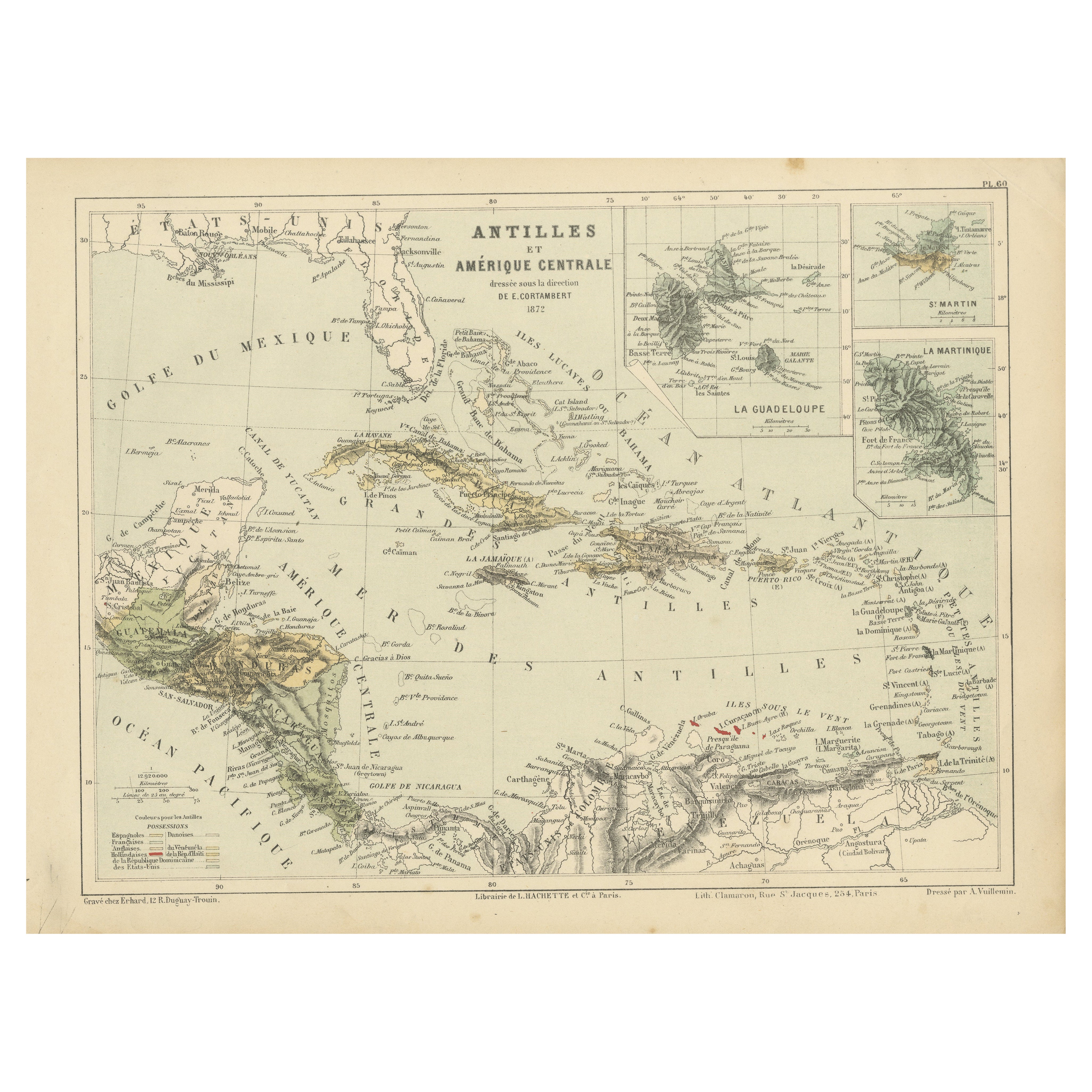
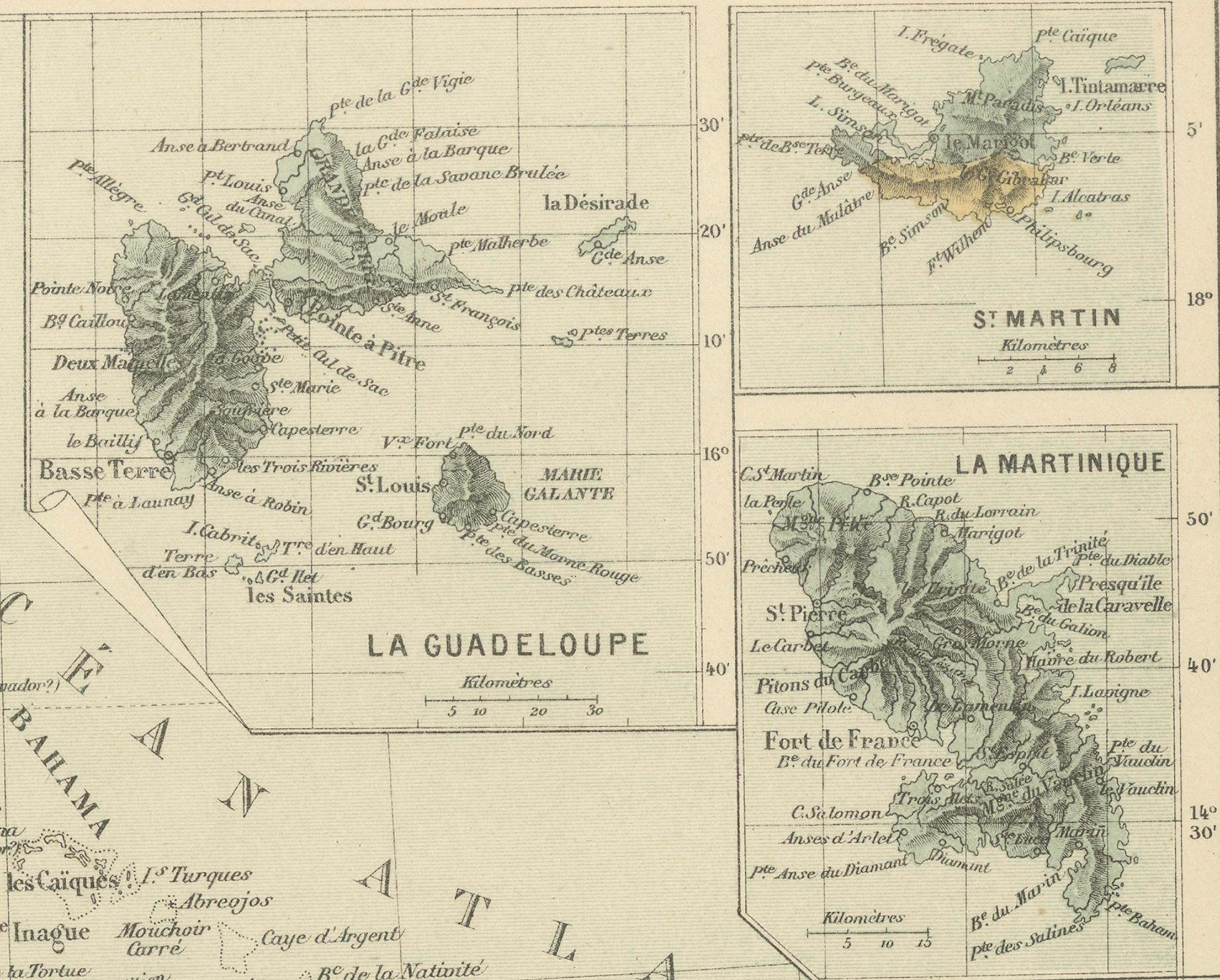
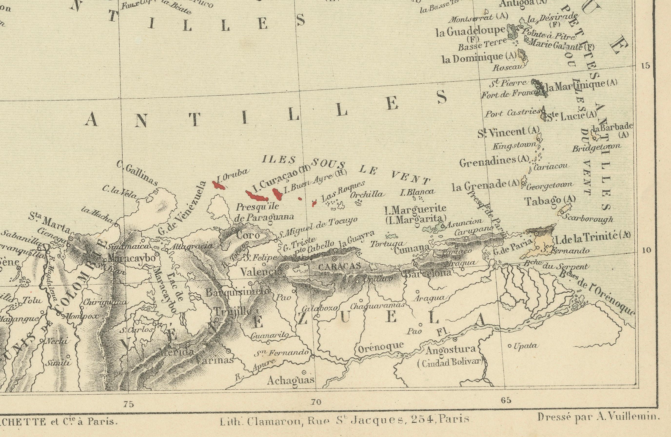
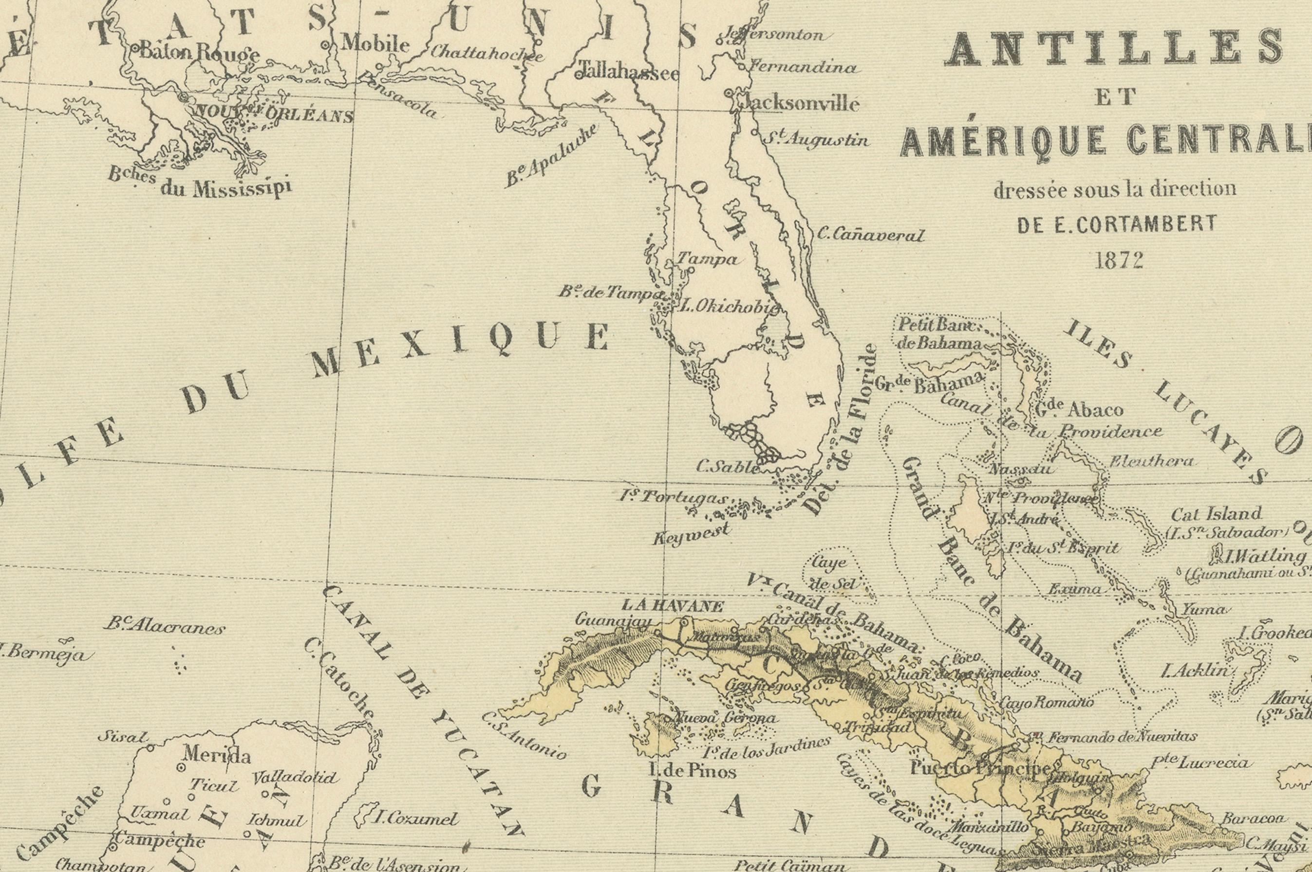
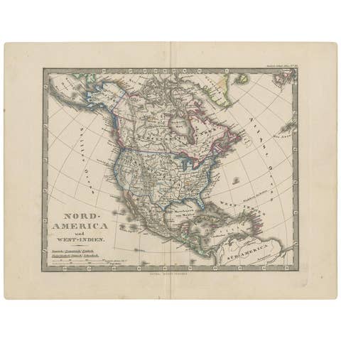
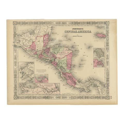
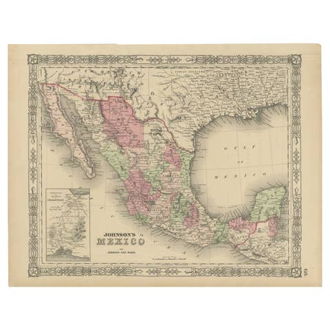
This finely detailed antique map, titled Antilles et Amérique Centrale, was published in 1872 under the direction of D.E. Cortambert. It provides a comprehensive cartographic representation of the Caribbean region and parts of Central America. The map features key locations such as Cuba, Hispaniola (Haiti and the Dominican Republic), Puerto Rico, the Bahamas, and the various island groups of the Antilles. Insets of Guadeloupe, Saint Martin, and Martinique offer more detailed views of these territories.
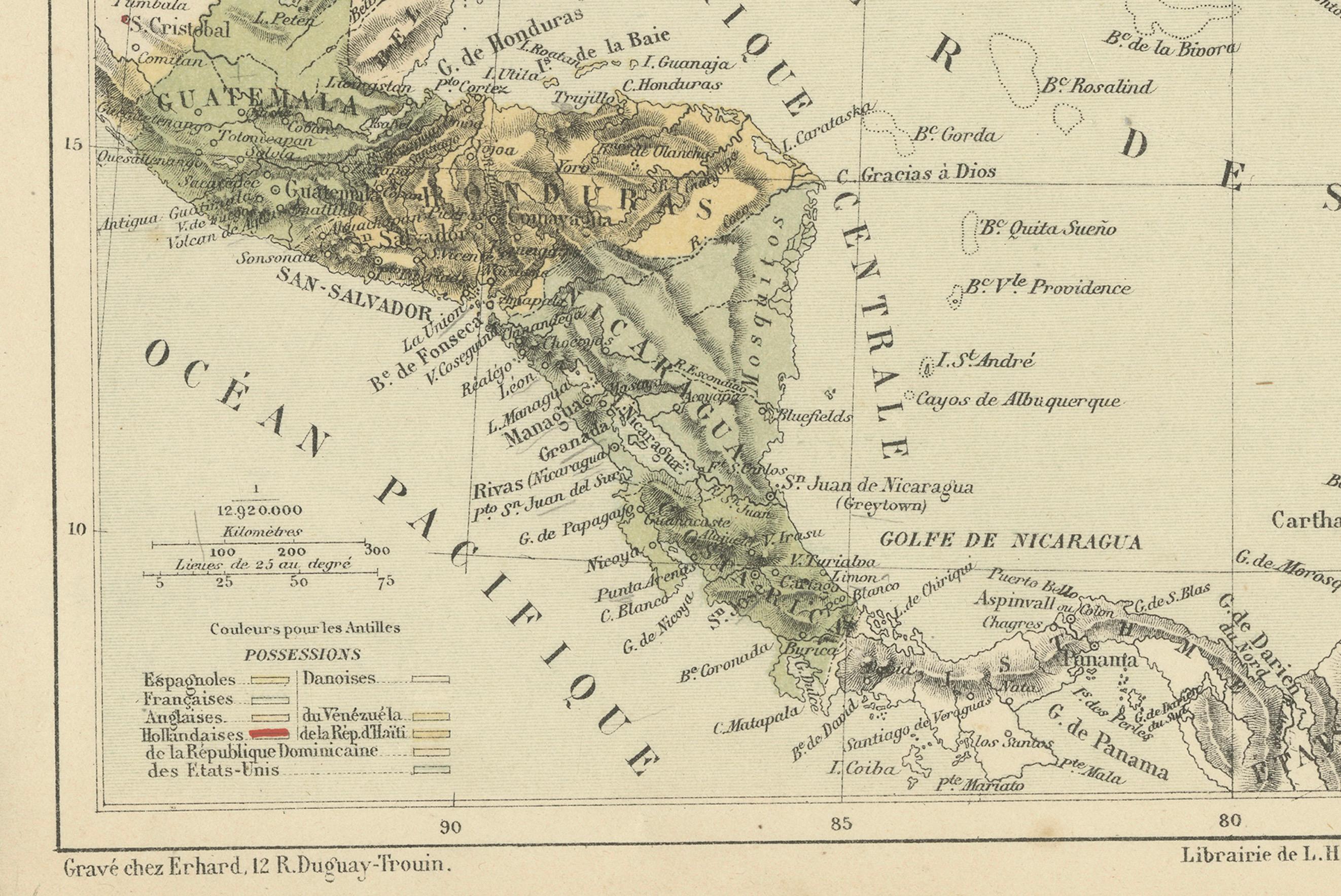
The map is color-coded to distinguish different colonial possessions, with a legend indicating Spanish, English, French, Danish, and Dutch territories. The fine engraving, executed by E. Andriveau-Goujon, is complemented by subtle hand-coloring that enhances the relief and topographical details. This map was printed by Librairie de L. Hachette & Cie, a renowned Parisian publisher.
Condition Report: Paper Quality: High-quality 19th-century paper with a warm patina. Engraving: Clear and well-defined with no significant fading. Coloring: Subtle original hand-coloring remains intact. Margins: Wide margins with some light age toning and minimal foxing. Overall Condition: Excellent for its age, with no significant defects.
Framing Tips: Matting: Use a cream or off-white acid-free mat to highlight the map’s historical character. Glass: UV-resistant glass to prevent fading and deterioration. Frame Style: A dark wood or gilt frame will provide a classic, museum-quality presentation. Mounting: Ensure conservation-grade mounting to protect the map from further aging.