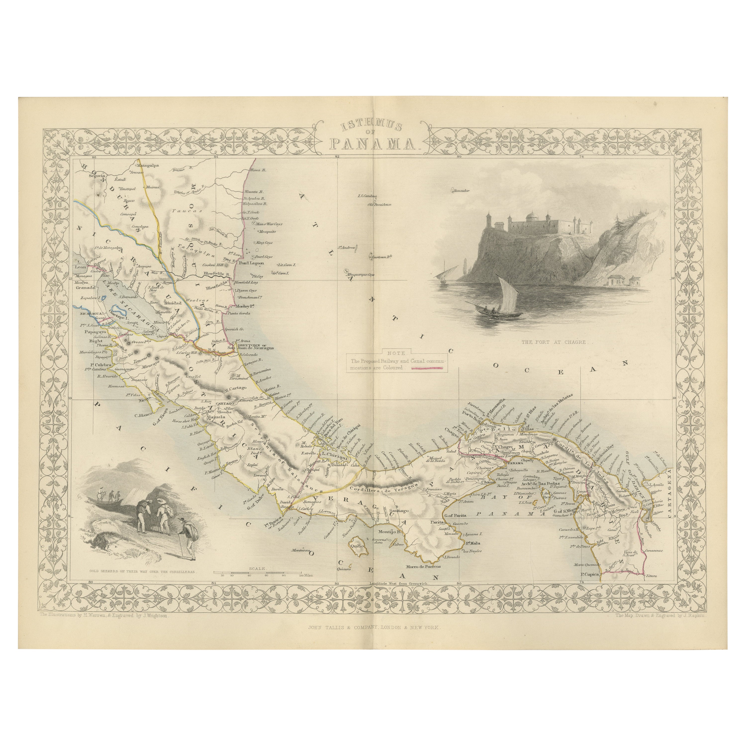
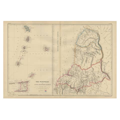
Crossroads of Empires: A John Tallis Map of the Isthmus of Panama, 1851
€ 290
One of a kind: this is the sheet in the photographs. Ships from Langweer, the Netherlands.
Date
1851
Sheet size
27.2 × 36.2 cm (10.7 × 14.3 in)
Condition
Good
Reference
BG-13736-3
Condition
Good given age. Original fold in middle as published. General age-related toning, please study scan carefully.
About this sheet
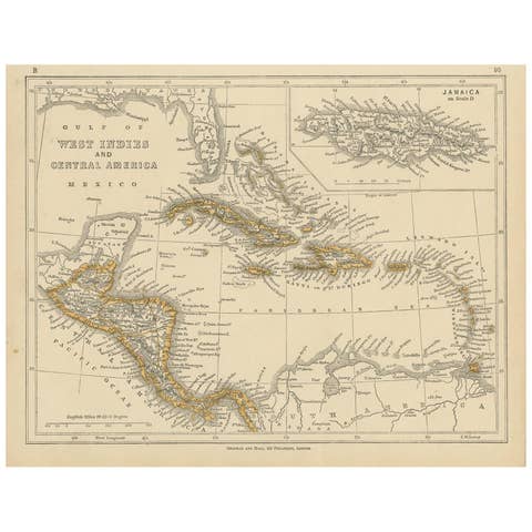
The Tallis map of the Isthmus of Panama is a beautifully detailed work, characteristic of the maps produced by John Tallis & Company, which was one of the last cartographic firms to decorate their maps with such intricate illustrations. John Tallis is known for his highly decorative maps of the 19th century, which were designed not only for practical use but also as works of art.
**The Maker - John Tallis & Company:** Tallis maps are appreciated for their elaborate borders and vignettes which make them stand out as a cartographic treasure. The company’s work is a reflection of the Victorian era's tastes and interests and is sought after by collectors for both its aesthetic and historical value.
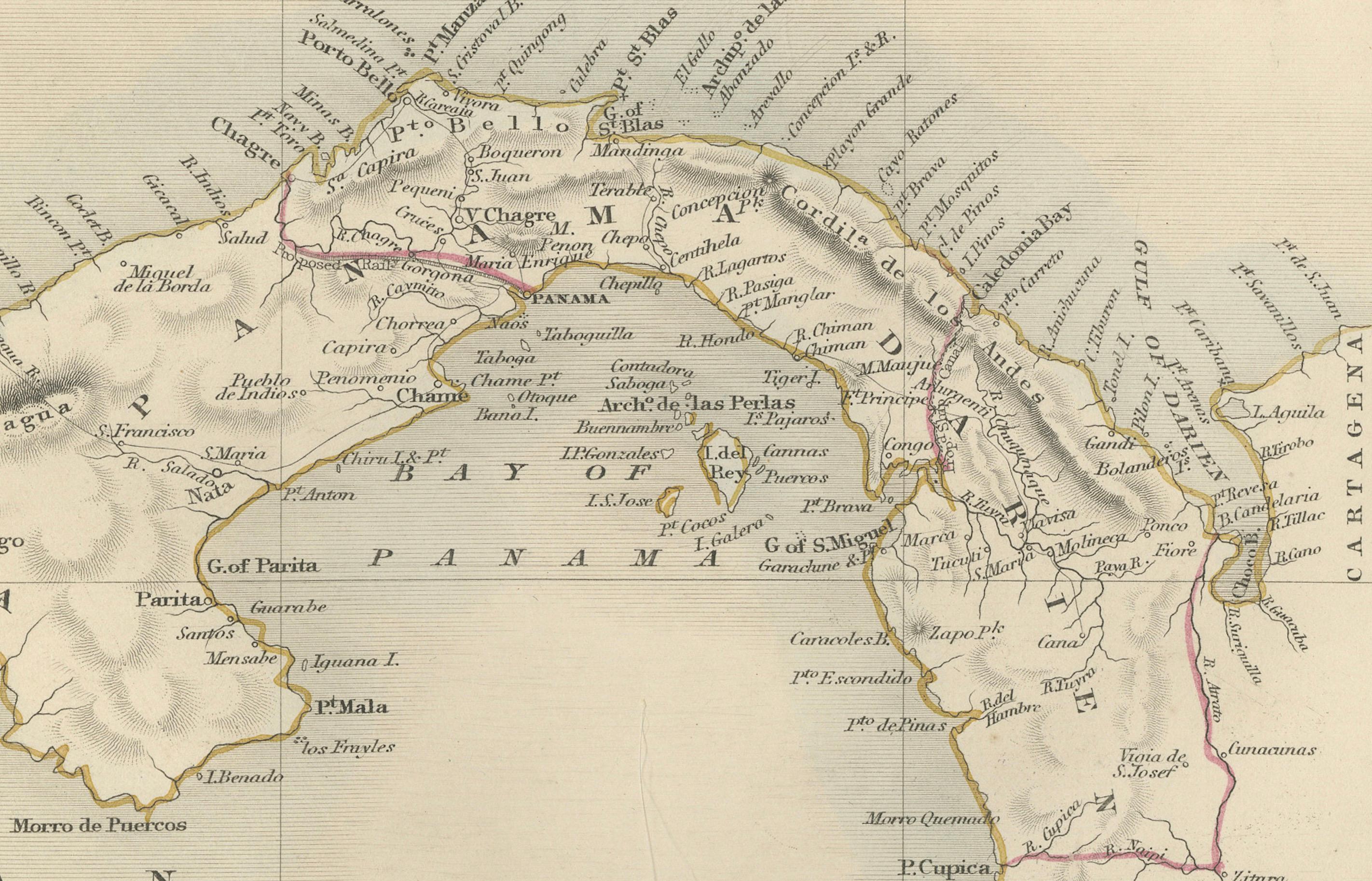
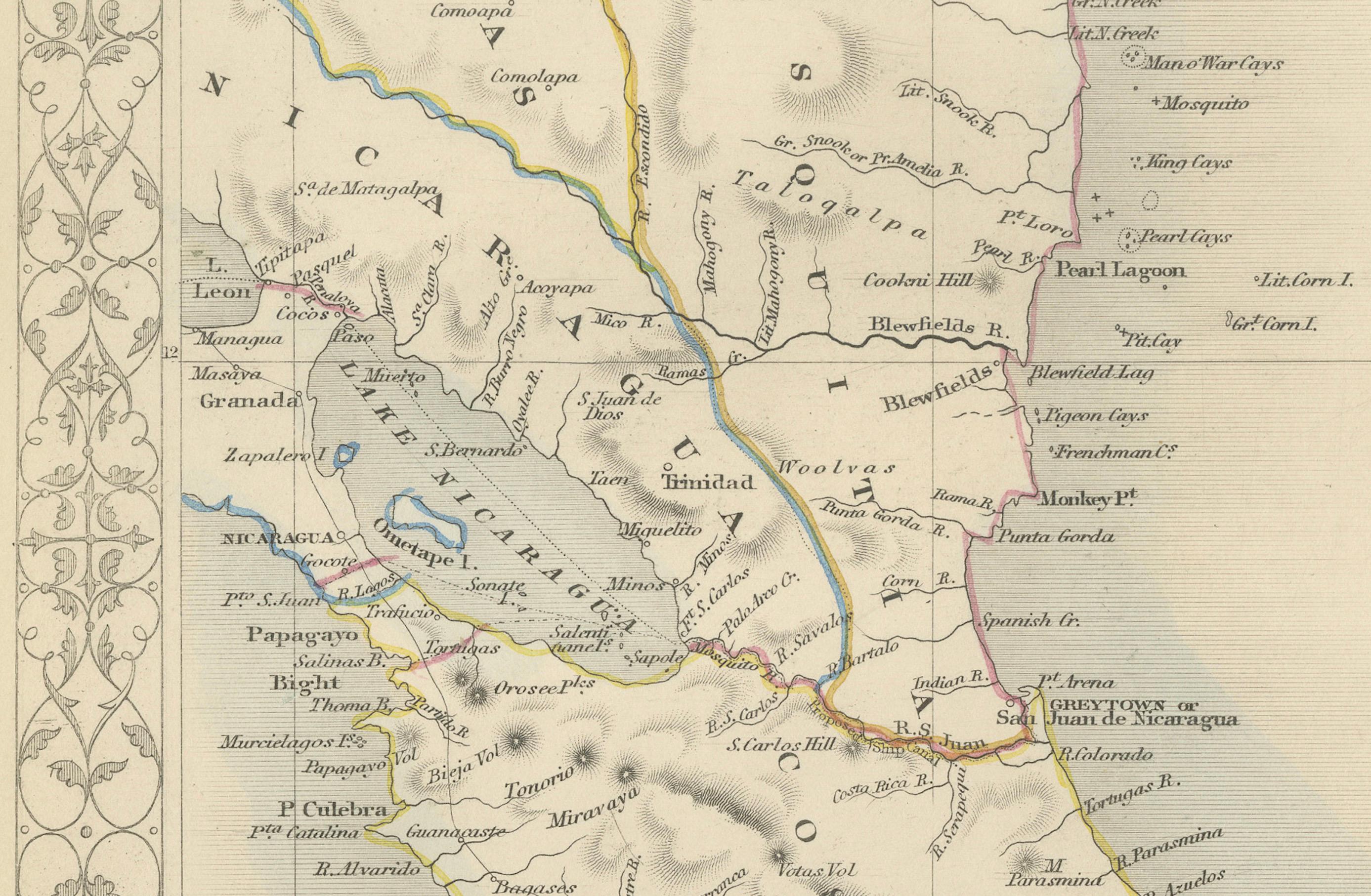
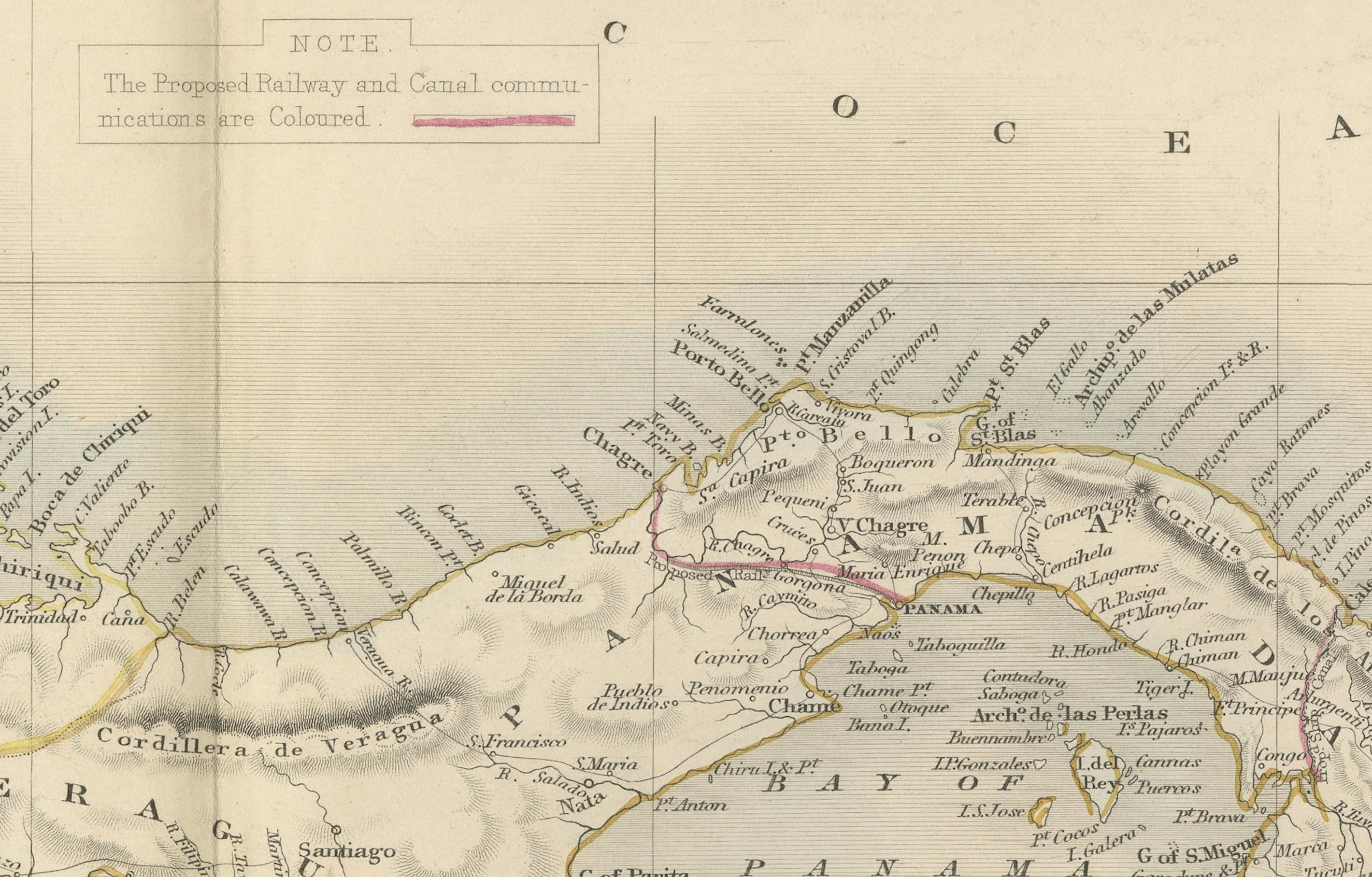
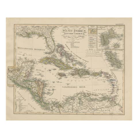
**The Map - Isthmus of Panama:** The map would be a detailed portrayal of the Isthmus of Panama during a time when the region was under significant scrutiny for its potential to connect the Atlantic and Pacific oceans—eventually leading to the construction of the Panama Canal in the early 20th century. During Martin's time, the area would be vital for global trade and navigation, hence its detailed cartography by the British.
**The Countries:** During the time of this map's production, Panama would be part of the Republic of New Granada. It later became part of Colombia and eventually its own nation in the early 20th century. The map's detail would be essential for explorers, merchants, and political interests of the era.
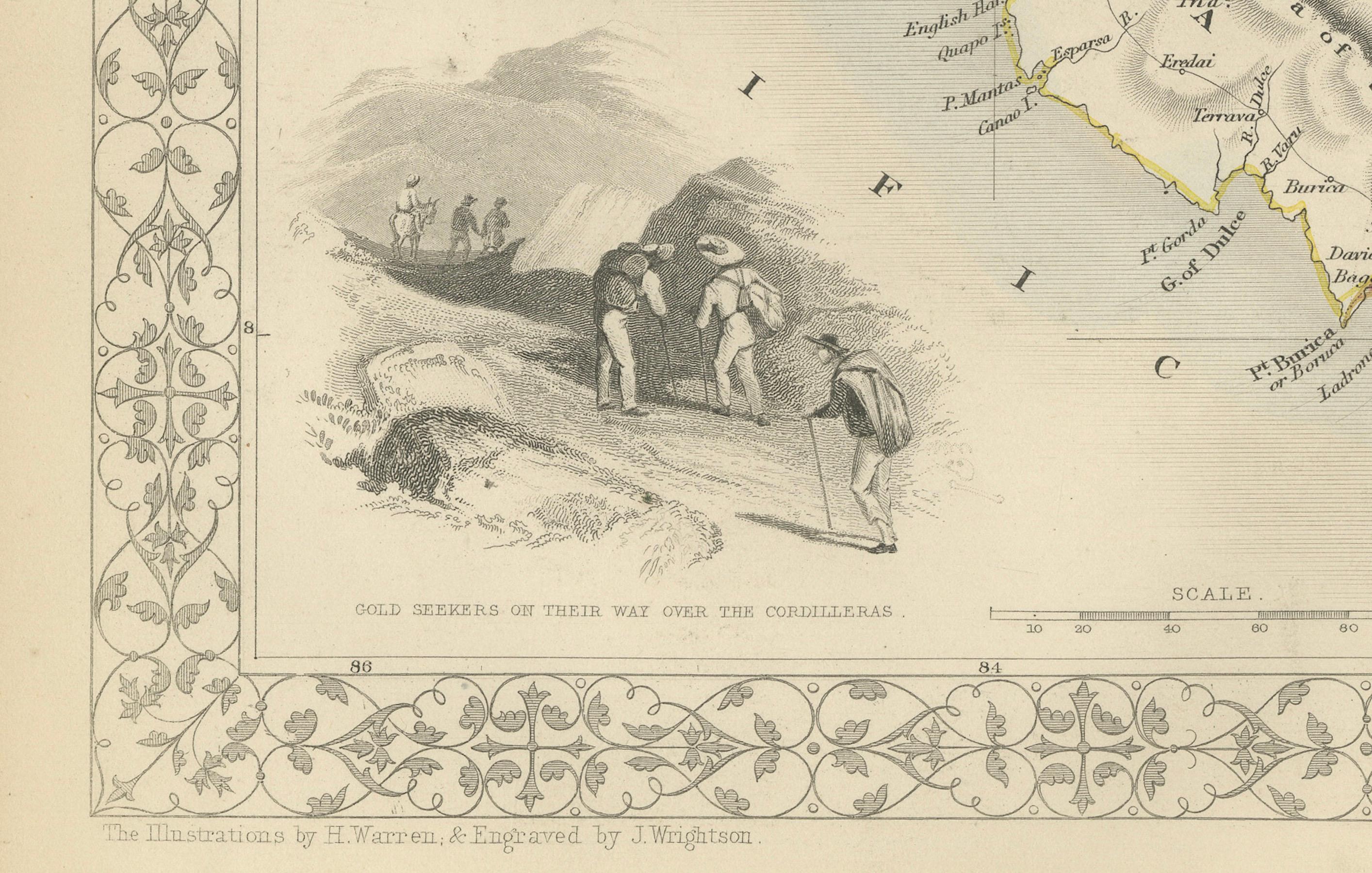
**The Images on the Map:** The illustrations typically featured on Tallis maps include key landmarks, economic activities, and local scenes. On this map of Panama:
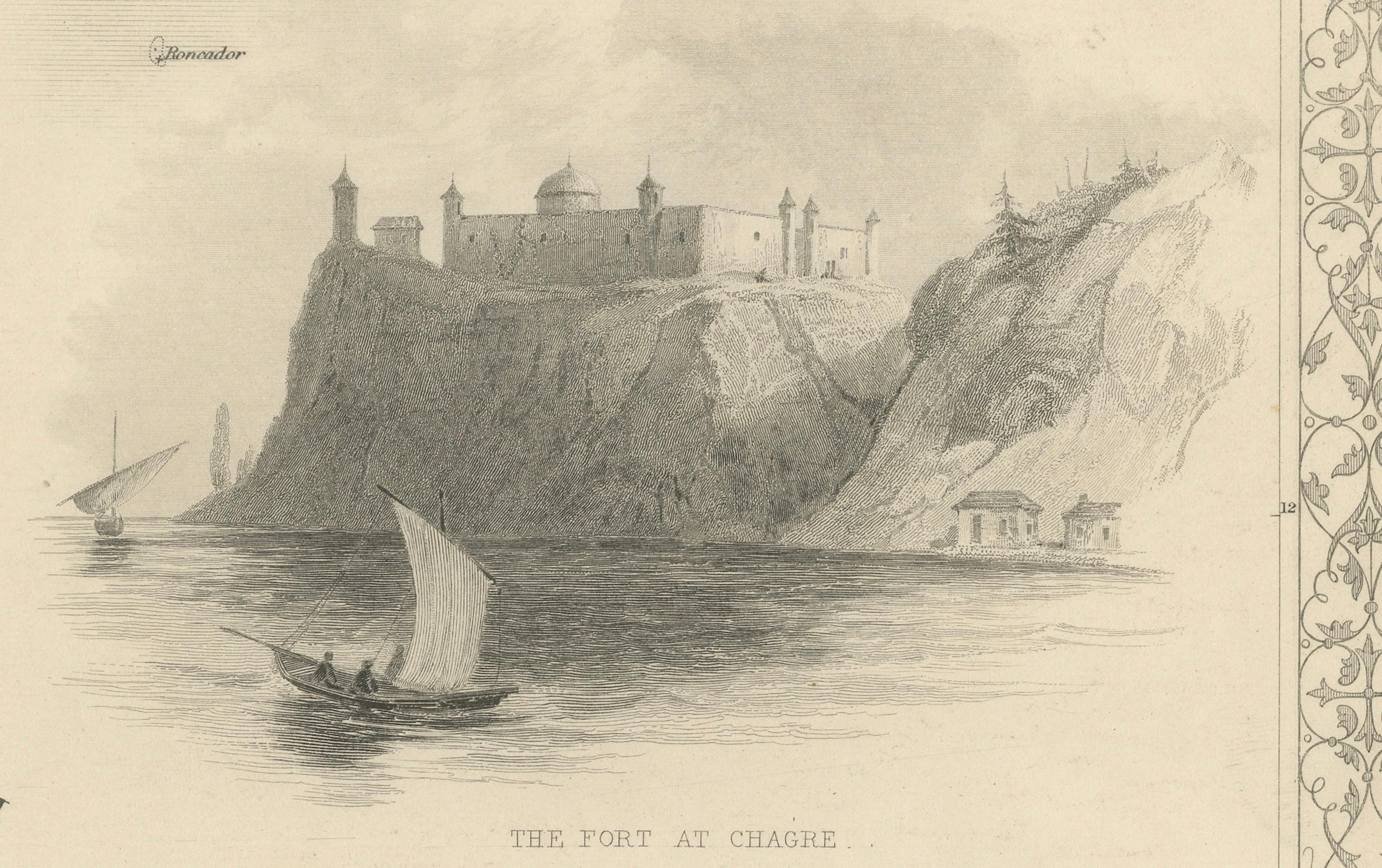
- **The Fort at Chagres**: A strategic colonial-era fortress is prominently displayed. Chagres was crucial because of its position on the Chagres River, which was part of a transisthmian route used by the Spanish to transport gold and other goods.
- **Gold Seekers of 1849 Crossing the Chagres River**: This vignette illustrates the reality of the California Gold Rush era, where many traversed the Isthmus of Panama as a shortcut between the east and west coasts of the United States.
**The Tallis Series:** Maps from "The British Colonies" by Robert Montgomery Martin were often included in atlases intended for a British audience eager to see the reaches of their empire and the various lands across the globe that were under British influence or of interest to British expansion.
This map is a fine example of the intersections between art, cartography, and history, and it provides a rich visual and geographical perspective on an area of significant historical importance.