An Ornate and Historical Tallis Map of Jamaica with Decorative Vignettes, 1851
€ 330
Original antique · The actual sheet photographed · Certificate of authenticity on request · Sold unframed · Worldwide shipping from € 15 (rates)
Date
1851
Sheet size
27.2 × 36.2 cm (10.7 × 14.3 in)
Condition
Good
Reference
BG-13736-1
What the condition grades mean
Excellent
Bright and clean, with no faults worth mentioning.
Very good
Only light signs of age, such as faint toning.
Good
Normal signs of age for a sheet of this period: toning, some foxing, small marks or neat old repairs.
Fair
Clear faults such as staining, tears or repairs, priced to match.
Every fault we see is written in the condition note, and the whole sheet is shown uncropped in the photos.
Condition
Good given age. Original fold in middle as published. General age-related toning, please study scan carefully.
About this sheet
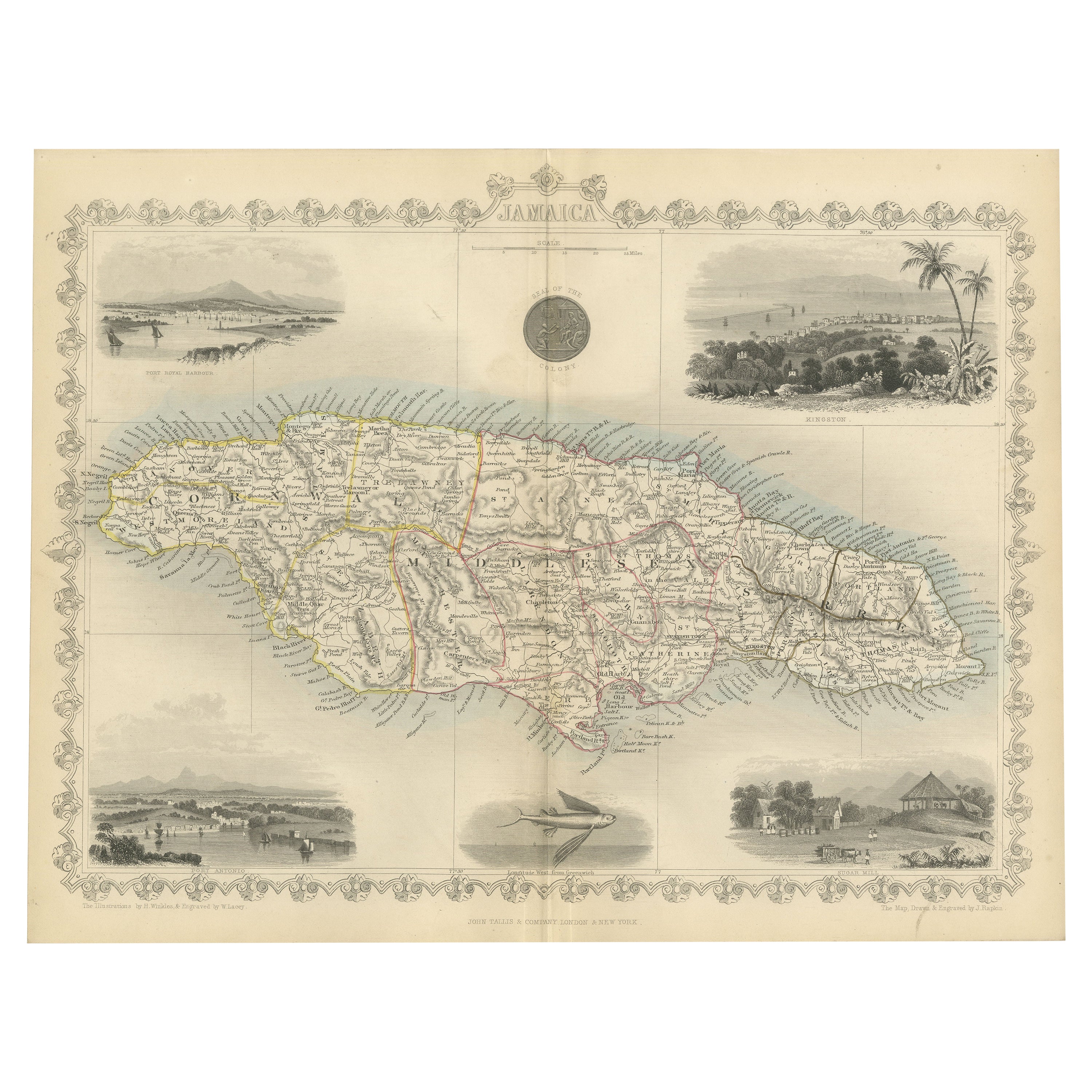
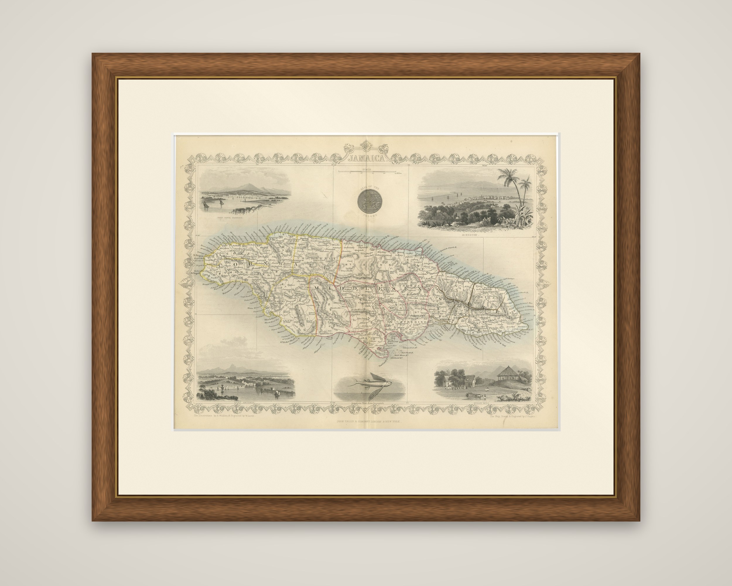
Jamaica, an original steel-engraved map by John Tallis and Company, London and New York, published in 1851 in The Illustrated Atlas. The title "Jamaica" is lettered at the top in a decorated cartouche, and the map is surrounded by a scrolled floral border, with the imprint at the foot and the credit for the map drawn and engraved by J. Rapkin.
The island fills the center of the sheet, with its three counties of Cornwall, Middlesex and Surrey separated by outline color, and the coast is covered in place names, ports and anchorages. The interior is shaded with hills and crossed by roads. Four vignettes sit in the corners of the border: Port Royal harbor at the upper left, Kingston at the upper right, a coastal view at the lower left and a house among trees at the lower right. A seal of the island is shown at the top and a flying fish at the foot.
The map gives Jamaica as a British colony in the years after emancipation, with Kingston and Port Royal among the harbors shown in the vignettes.