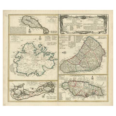
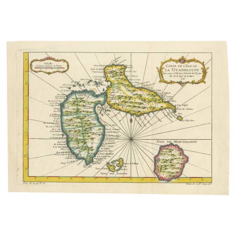
Antique Map of the Caribbean Island of St Kitts, ca.1750
€ 720
Original antique · The actual sheet photographed · Certificate of authenticity on request · Sold unframed · Worldwide shipping from € 15 (rates)
Date
1750
Sheet size
25 × 36 cm (9.8 × 14.2 in)
Condition
Good
Reference
PCT-57917
What the condition grades mean
Excellent
Bright and clean, with no faults worth mentioning.
Very good
Only light signs of age, such as faint toning.
Good
Normal signs of age for a sheet of this period: toning, some foxing, small marks or neat old repairs.
Fair
Clear faults such as staining, tears or repairs, priced to match.
Every fault we see is written in the condition note, and the whole sheet is shown uncropped in the photos.
Condition
Given age. A few very light crinkles. Original middle fold as issued. Left edge of the image faintly soiled. General age-related toning and/or occasional minor defects from handling. Please review the images for further condition details.
About this sheet
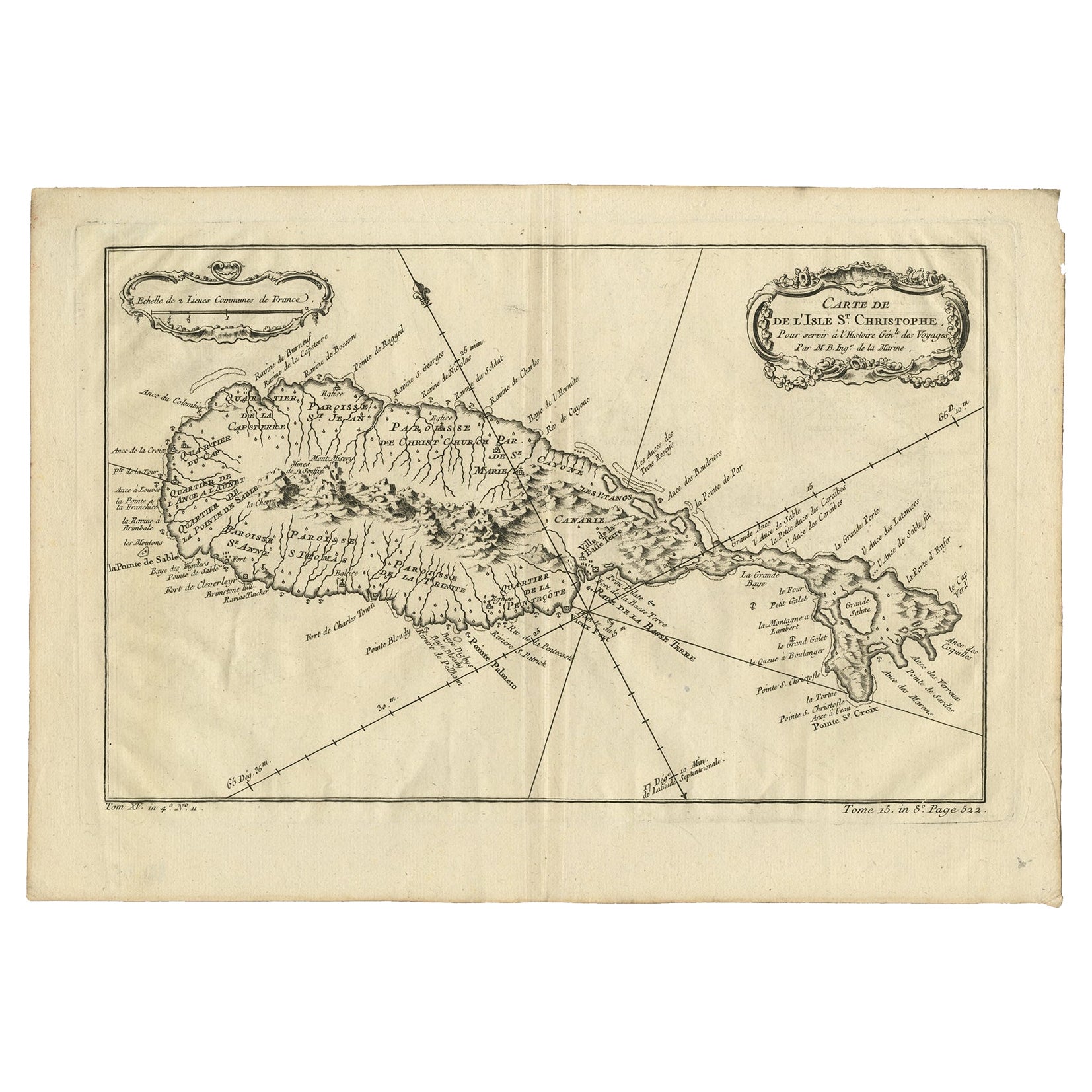
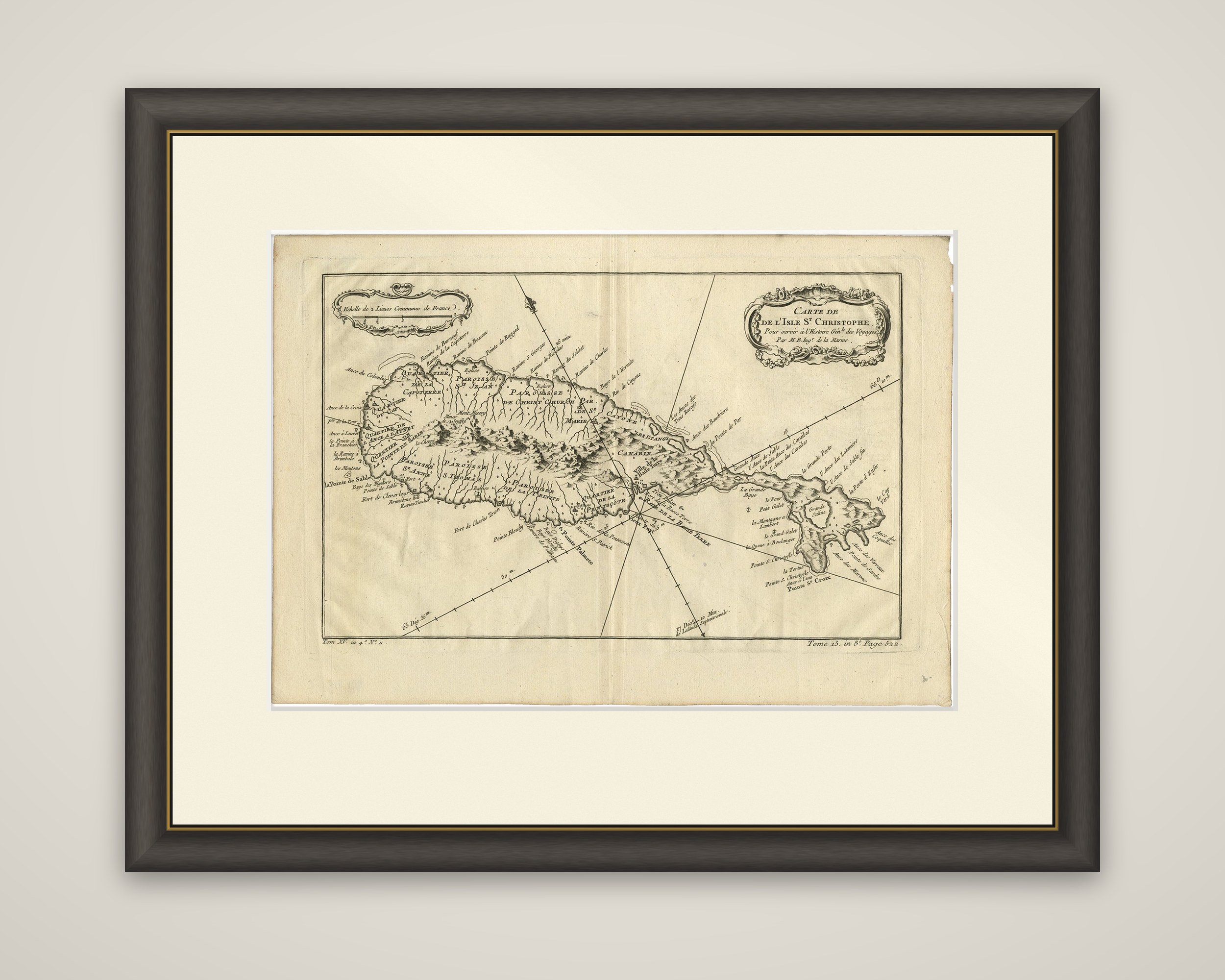
Carte de l'Isle St. Christophe, an original copper engraving by Jacques-Nicolas Bellin, made to serve the Histoire Générale des Voyages and dating from about 1750. The title sits in a scroll cartouche at the upper right, with the credit "Par M. B. Ing. de la Marine", and a second cartouche at the upper left holds the scale of common French leagues.
The island of St. Kitts is drawn in plan, long and narrow, with a southeastern peninsula and a rounded pond near its tip. Its mountain spine is drawn in hachures, with rivers running to the coast on both sides. The parishes are lettered across the island, among them Christ Church, St. John and St. Anne, with the old French quarters and the main towns on the coast. Anchorages, capes and fortifications are lettered around the shore with soundings, and rhumb lines radiate across the sheet, with the volume and page of the book set below the border.
Bellin (1703 to 1772) was a French hydrographer of the Navy who produced maps over a career of more than fifty years, notably of maritime interest. St. Kitts was divided between France and England in the seventeenth century and was a key sugar island.