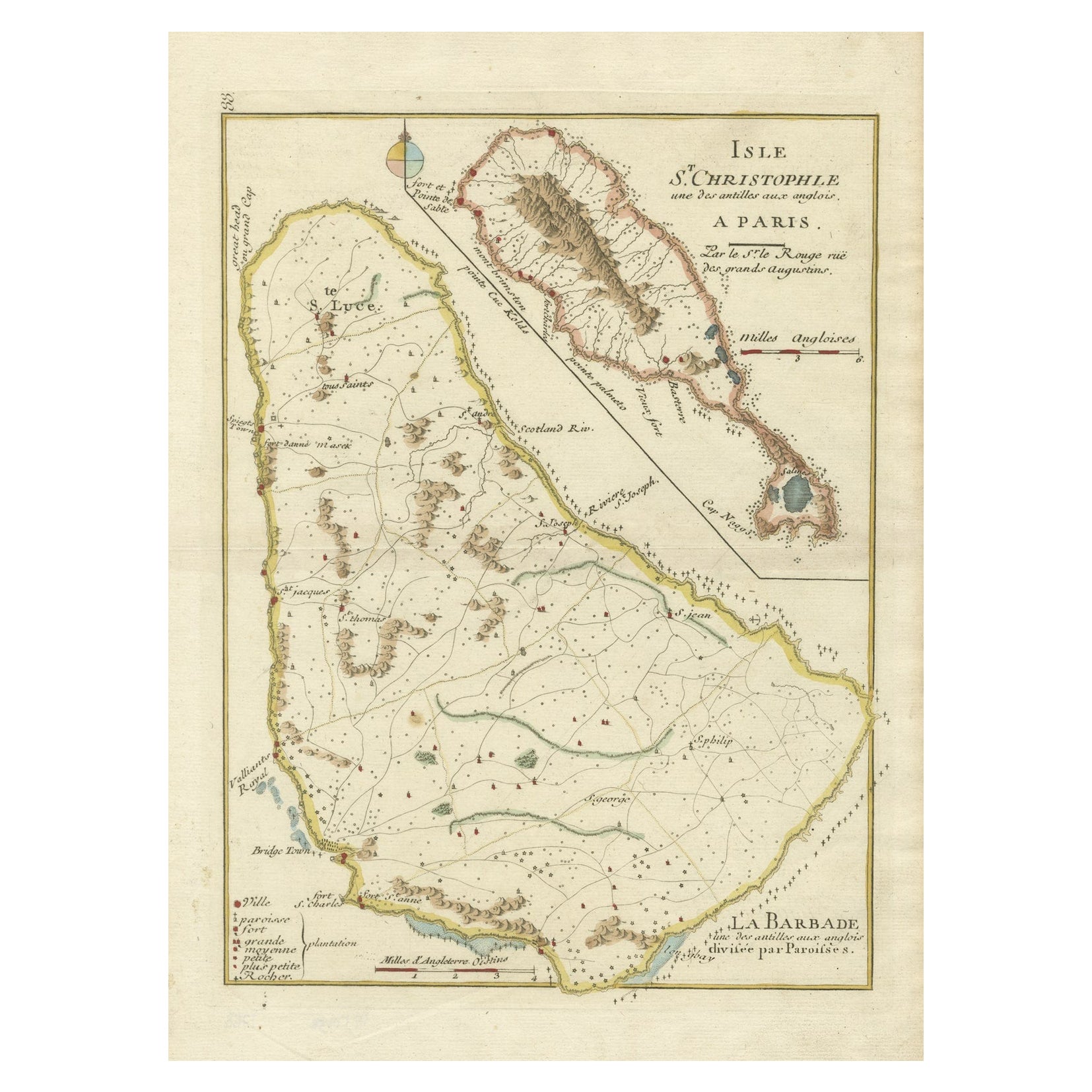
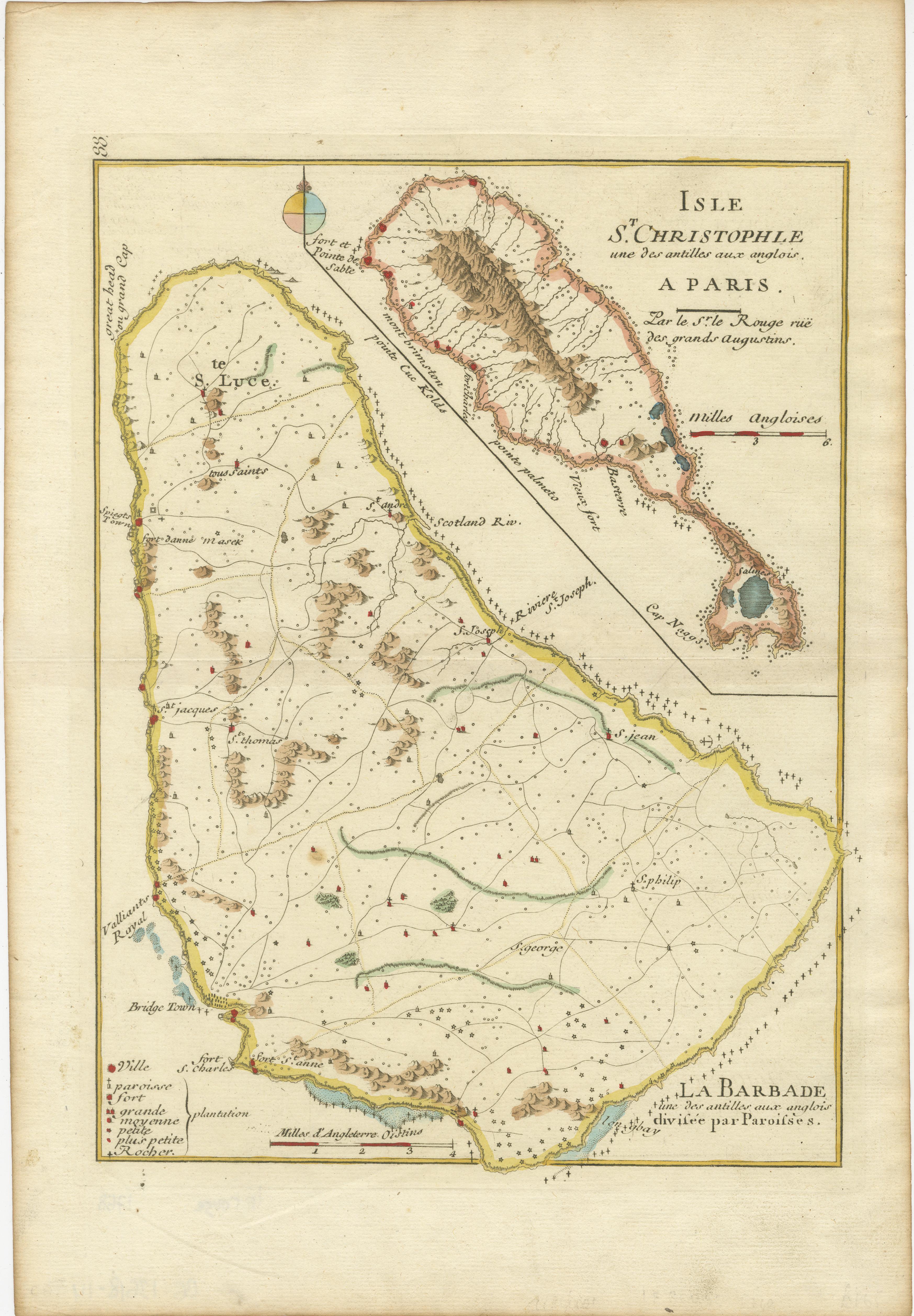
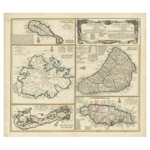
Barados and St Christopher or St Kitts and Nevis Islands in the Caribbean, 1748
€ 360
One of a kind: this is the sheet in the photographs. Ships from Langweer, the Netherlands.
Date
1748
Sheet size
35.5 × 24.5 cm (14.0 × 9.6 in)
Condition
Good
Reference
BG-13618-14
Condition
Later attractive coloring. Good Condition. Overal aged related toning and minor wear due to handling. Original fold line as issued. Blank verso. Please study image carefully.
About this sheet
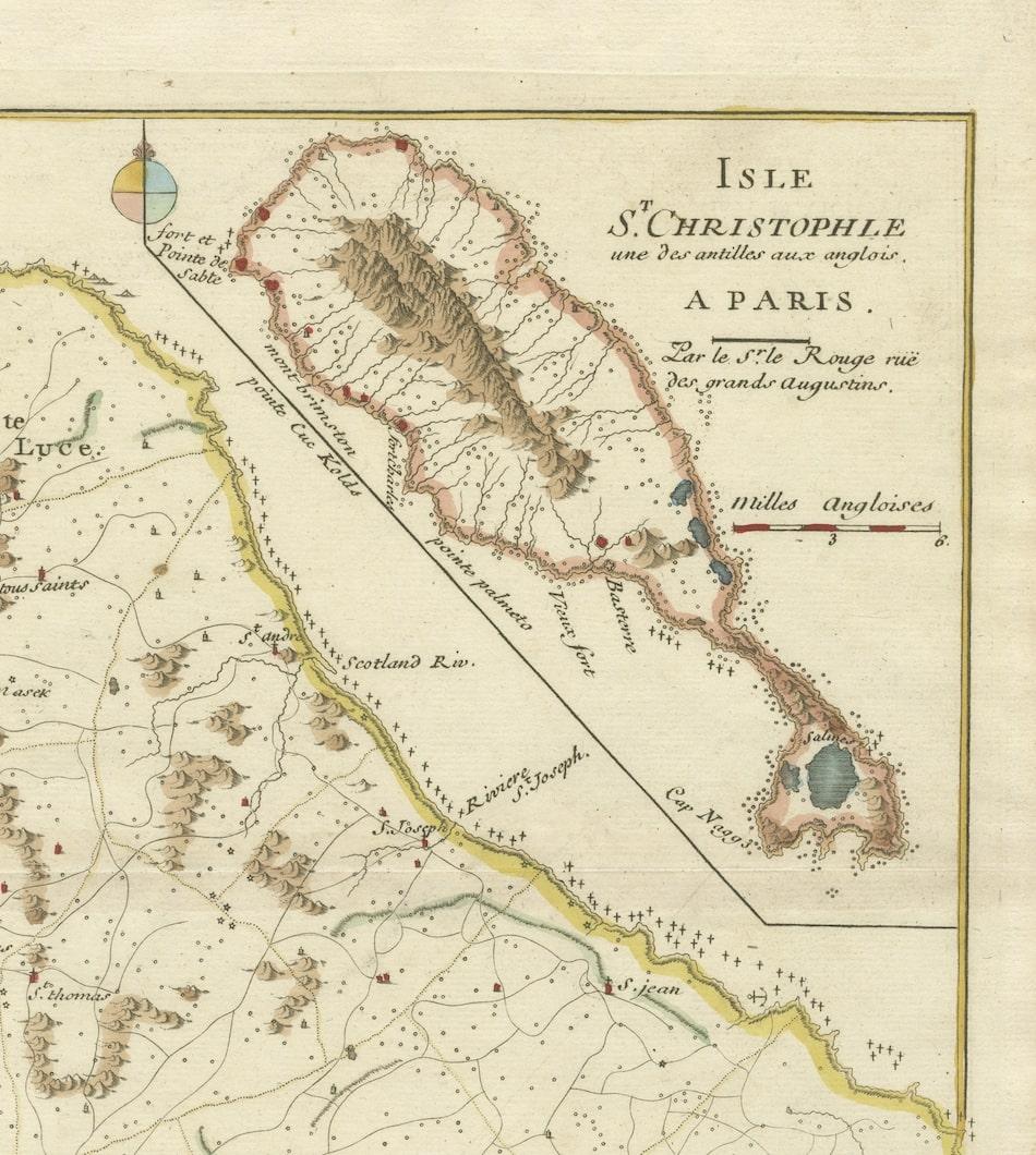
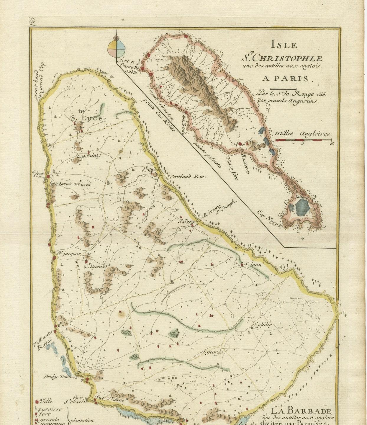
This original map, a copperplate engraving by Le Rouge, presents two significant areas in the Caribbean. Titled "Isle St. Christophle une des Antilles aux anglois" and "La Barbade. divisée par Paroisses," it offers detailed insights into St. Christopher (St. Kitts), one of the Anglo islands, and Barbados, delineated by its parishes.
Crafted in 1746, this map stands as a historical artifact showcasing the intricate cartographic skills of Le Rouge. It meticulously outlines the geography, coastal features, settlements, and notable divisions of St. Christopher and Barbados during the 18th century.
Le Rouge's mastery in mapmaking is evident through the elaborate engravings and precise details presented on this map. It serves as a valuable reference, offering a glimpse into the geographical understanding and historical context of these Caribbean territories during the colonial period.
The map's delineation of parishes in Barbados and its depiction of key geographical elements provide a comprehensive view of these islands in the 18th century. This original engraving remains a prized piece, embodying the historical significance and cartographic excellence characteristic of Le Rouge's work during that era.