Maps & PrintsBartele Gallery · Langweer
Home / Antique Maps / America / Central America & Caribbean

Central America & Caribbean · 18th century

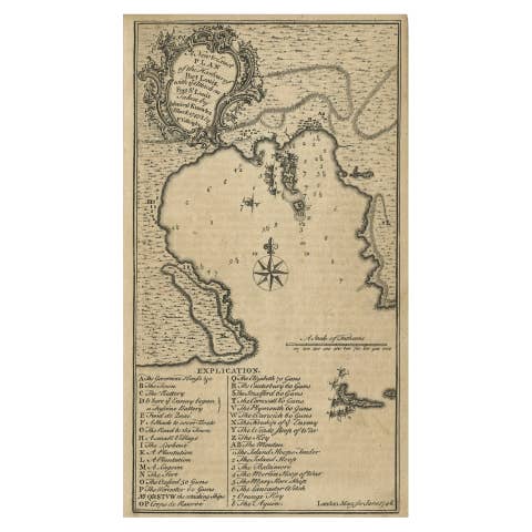
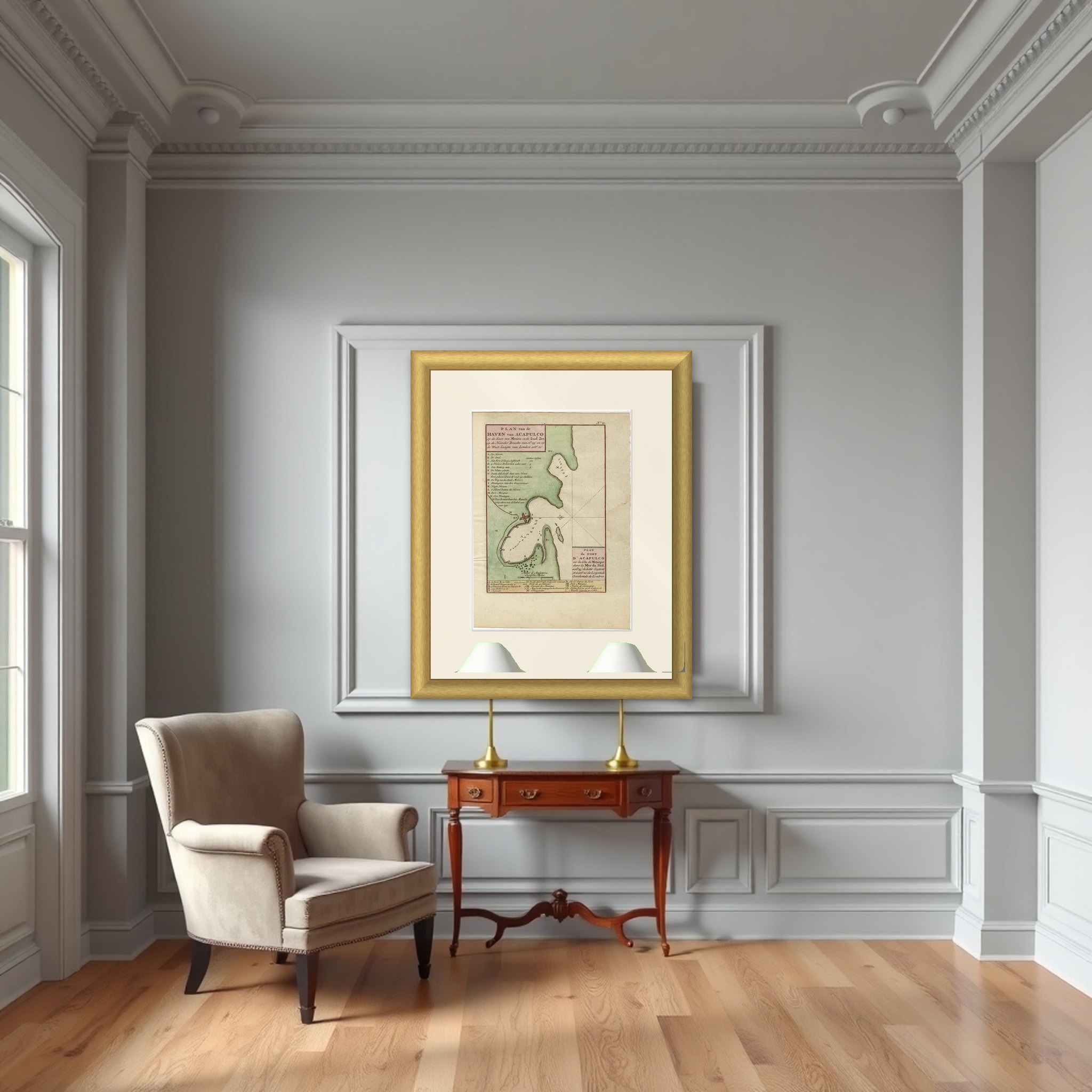
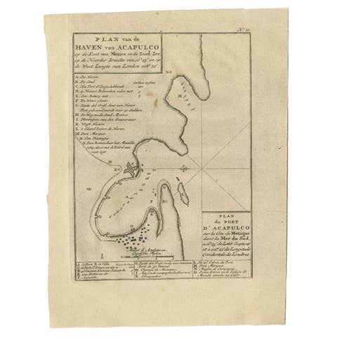
Antique Map of The Harbour of Acapulco in Mexico, 1749

€ 360

Original antique · The actual sheet photographed · Certificate of authenticity on request · Sold unframed · Worldwide shipping from € 15 (rates)

Date
1749
Sheet size
27.3 × 20 cm (10.7 × 7.9 in)
Condition
Good
Reference
PCT-61585
What the condition grades mean
Excellent
Bright and clean, with no faults worth mentioning.
Very good
Only light signs of age, such as faint toning.
Good
Normal signs of age for a sheet of this period: toning, some foxing, small marks or neat old repairs.
Fair
Clear faults such as staining, tears or repairs, priced to match.

Every fault we see is written in the condition note, and the whole sheet is shown uncropped in the photos.
About this sheet

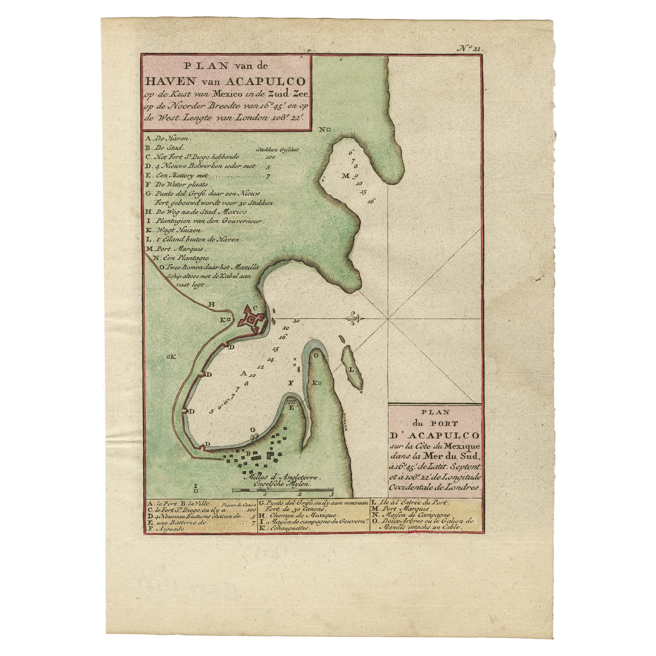
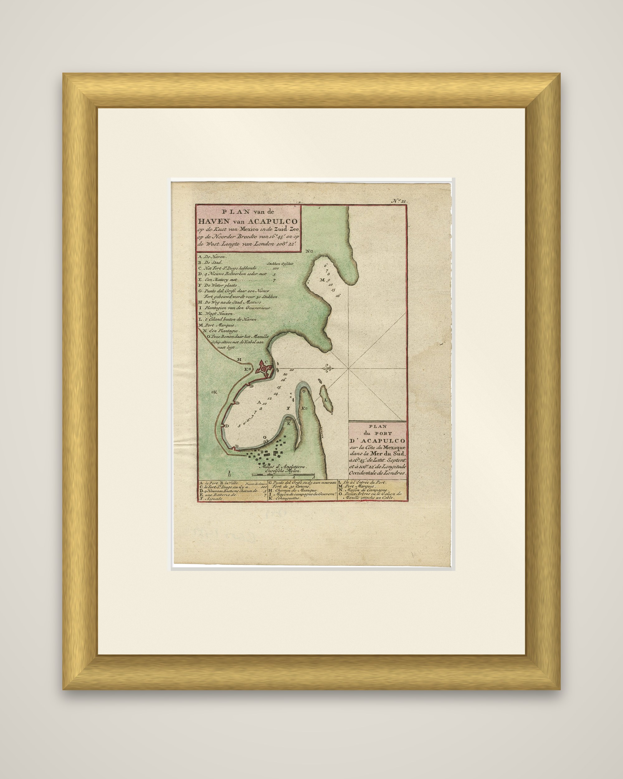
Plan van de Haven van Acapulco, an original antique plan of the port of Acapulco on the Pacific coast of Mexico, an engraving from the Dutch edition of George Anson's Reize rondsom de Werreld, published in 1749. The sheet is lettered in Dutch and in French as "Plan du Port d'Acapulco sur la Côte de Mexique dans la Mer du Sud," at 16 degrees 45 minutes north latitude and 108 degrees 22 minutes west longitude from London.

The harbor is drawn in plan with green headlands, soundings in the water and a compass rose with its crossed rhumb lines. A square fort with bastions stands on the shore at the western end of the town, and rows of small house symbols mark the town below it. A letter key at the left and at the foot lists the haven, the town, Fort San Diego with its guns, batteries, the watering place, plantations, a road to Mexico City and the beach where the Manila ship lies. A scale of English miles is lettered below the bay.

Acapulco was the port where the Spanish Manila galleon arrived from the Philippines, and capturing that ship was the aim of Anson's voyage of 1740 to 1744.

More from Central America & Caribbean

Ask about this sheet

Antique Map of The Harbour of Acapulco in Mexico, 1749
1749 · Ref. PCT-61585 · € 360
We reply by email, usually within one working day.

Your favorites

Saved in this browser. Email the list to yourself to keep it on any device.

We use your email to send this list and, only if you tick the box and confirm, for occasional new arrivals. Every email has an unsubscribe link. Bartele Gallery, the Netherlands.