About this sheet
Antique Chile Map Blaeu c.1642 – Dramatic Andes & Pacific Panorama
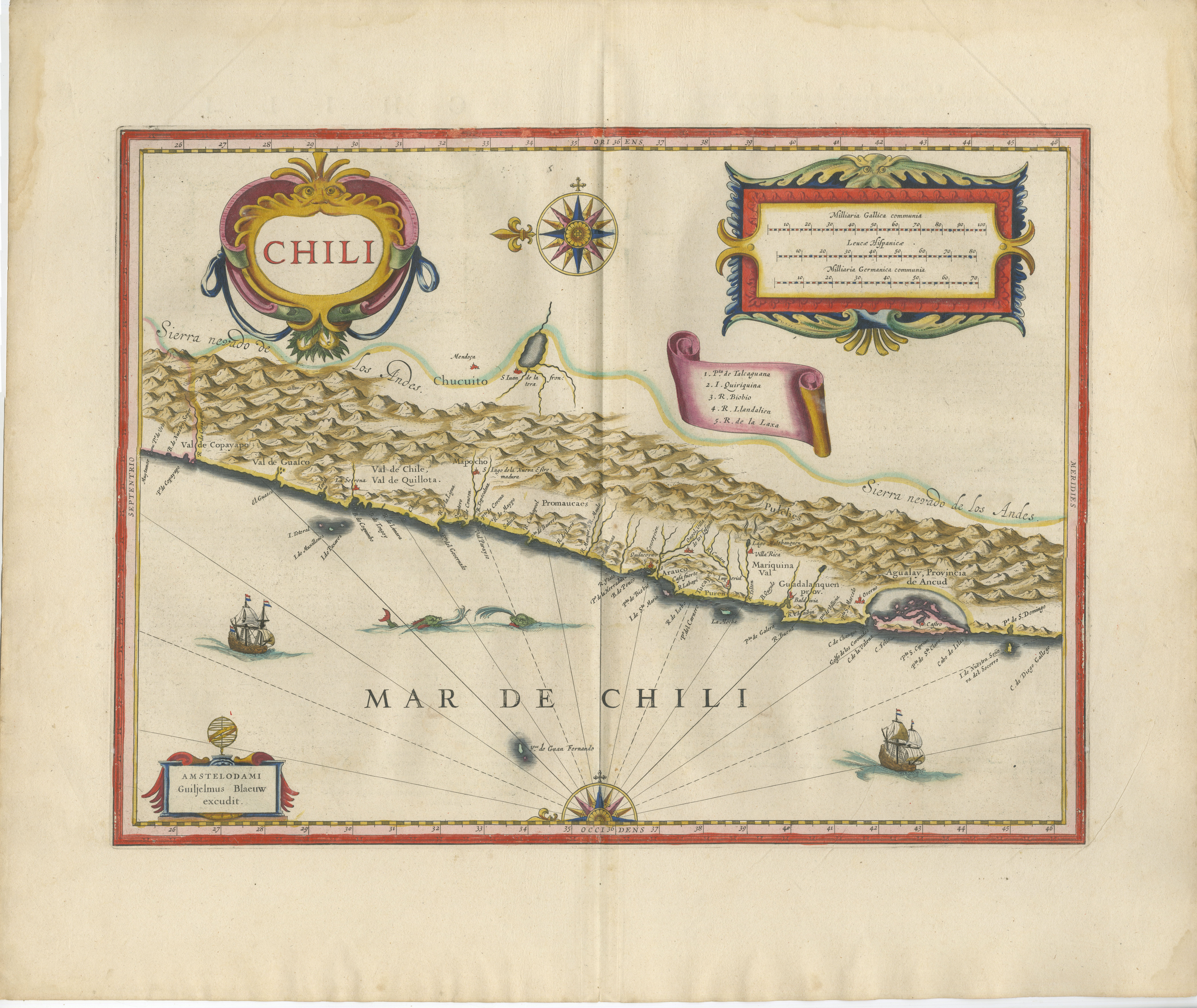
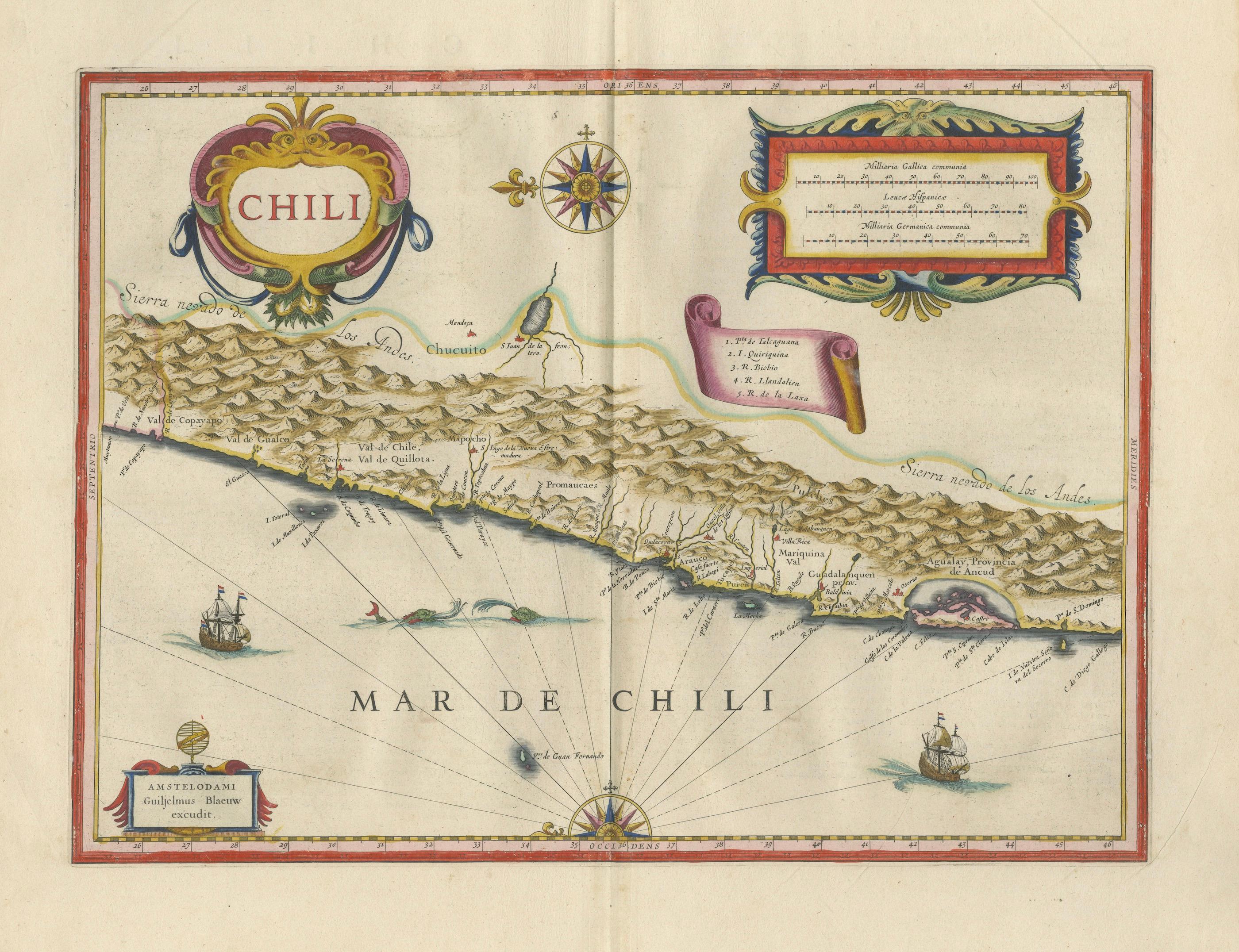
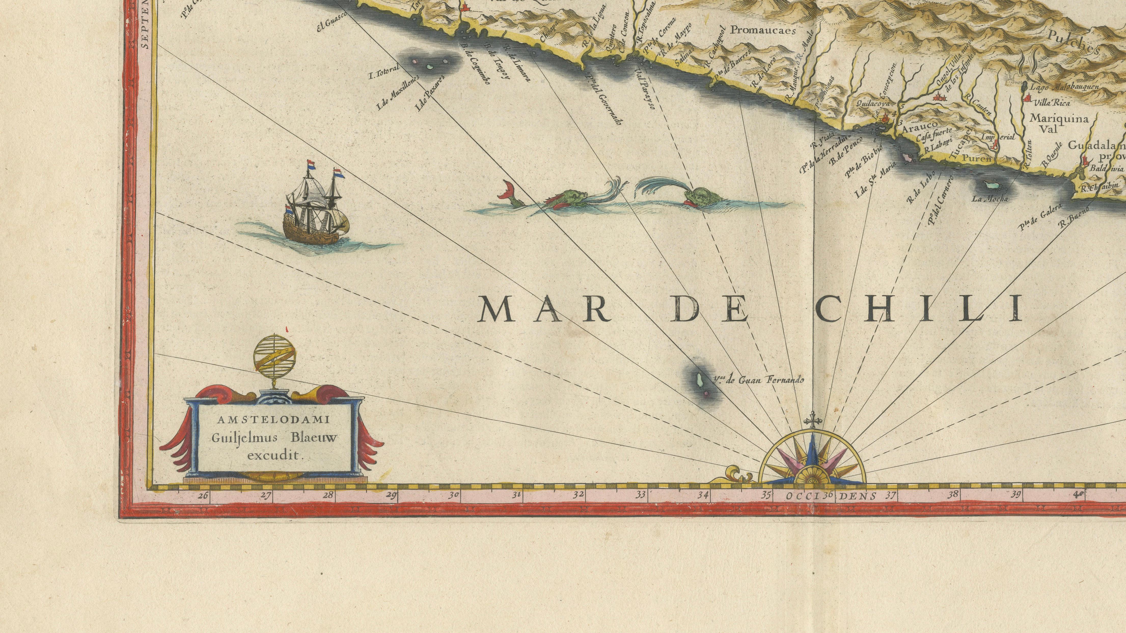
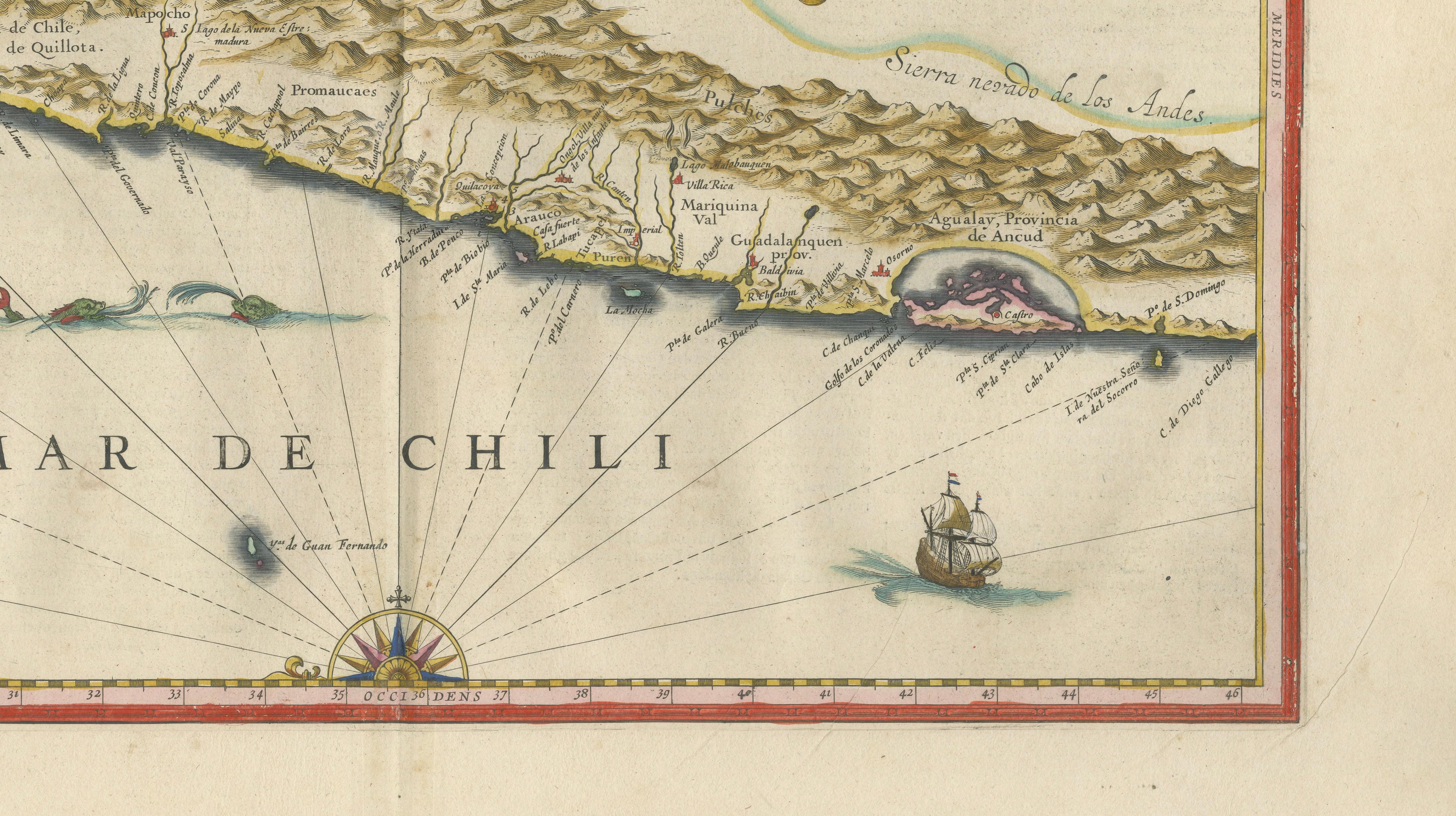
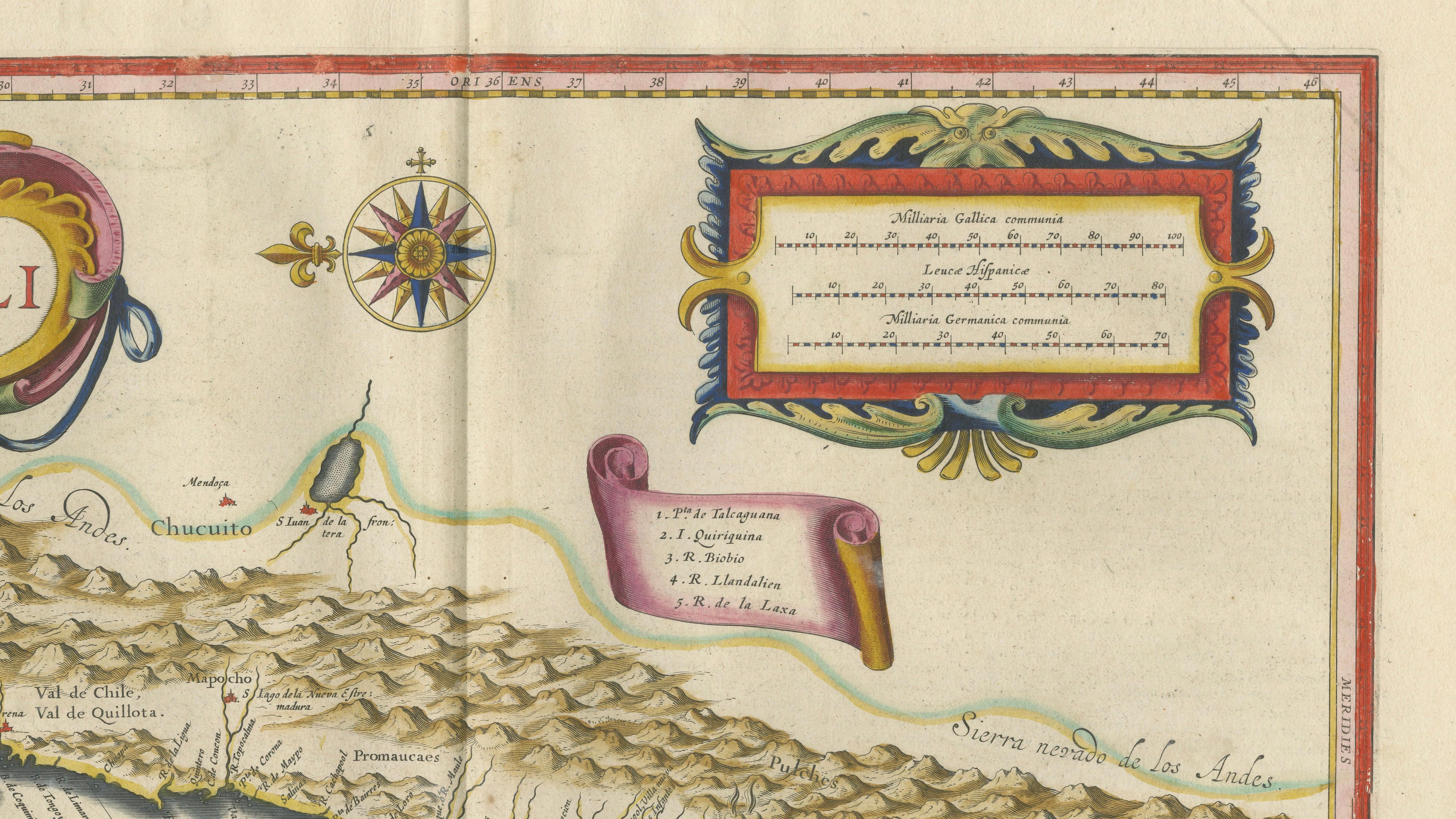
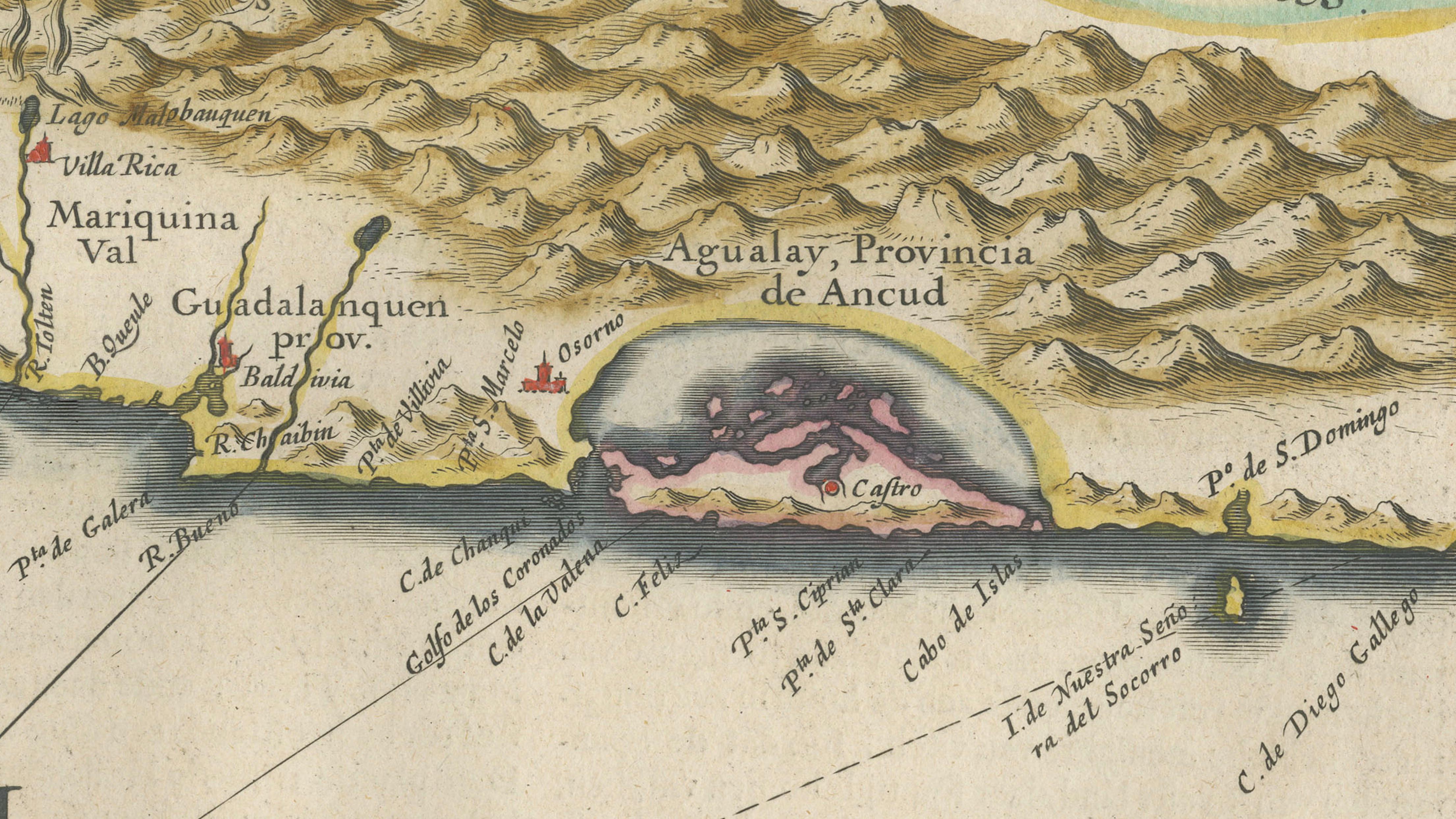
This refined and highly decorative map of Chile was engraved by Willem Blaeu, one of the most celebrated cartographers of the Dutch Golden Age, and published in his prestigious Toonneel des Aerdrycx atlas around 1640. With its elegant composition and elongated format, the map captures the dramatic meeting of the Andes Mountains and the Pacific Ocean, offering both geographic clarity and striking visual presence.
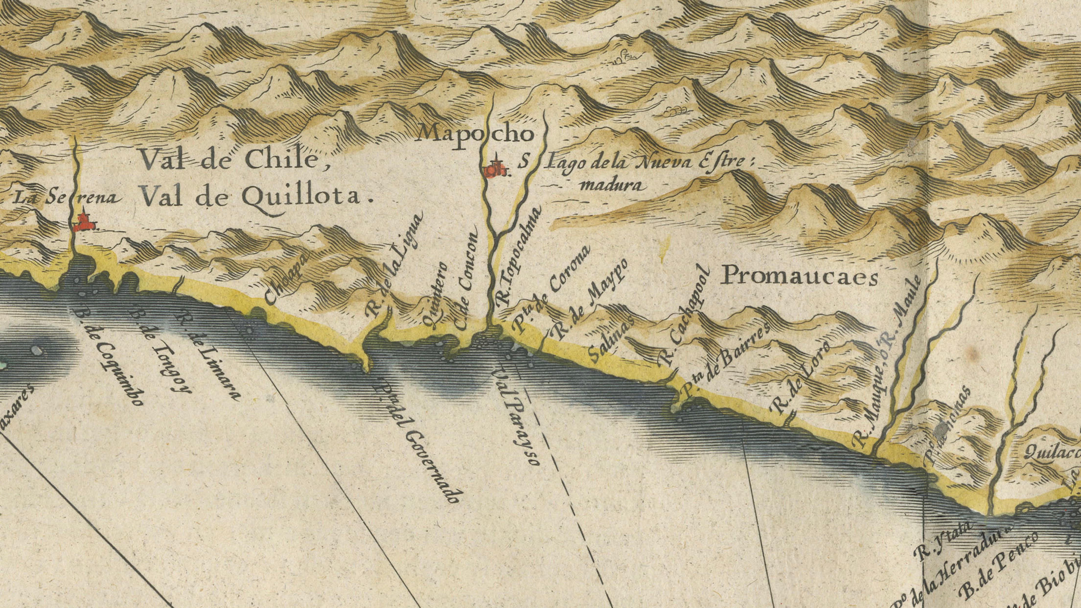
The map presents the narrow strip of Chile in remarkable detail, with the Andes rendered as a dense mountainous spine running the full length of the composition. Coastal settlements, valleys, and rivers are carefully delineated, reflecting early European knowledge of Spanish colonial territories in South America. The Pacific Ocean is animated with sailing ships and navigational lines, emphasizing the maritime importance of the region during the age of exploration and global trade.
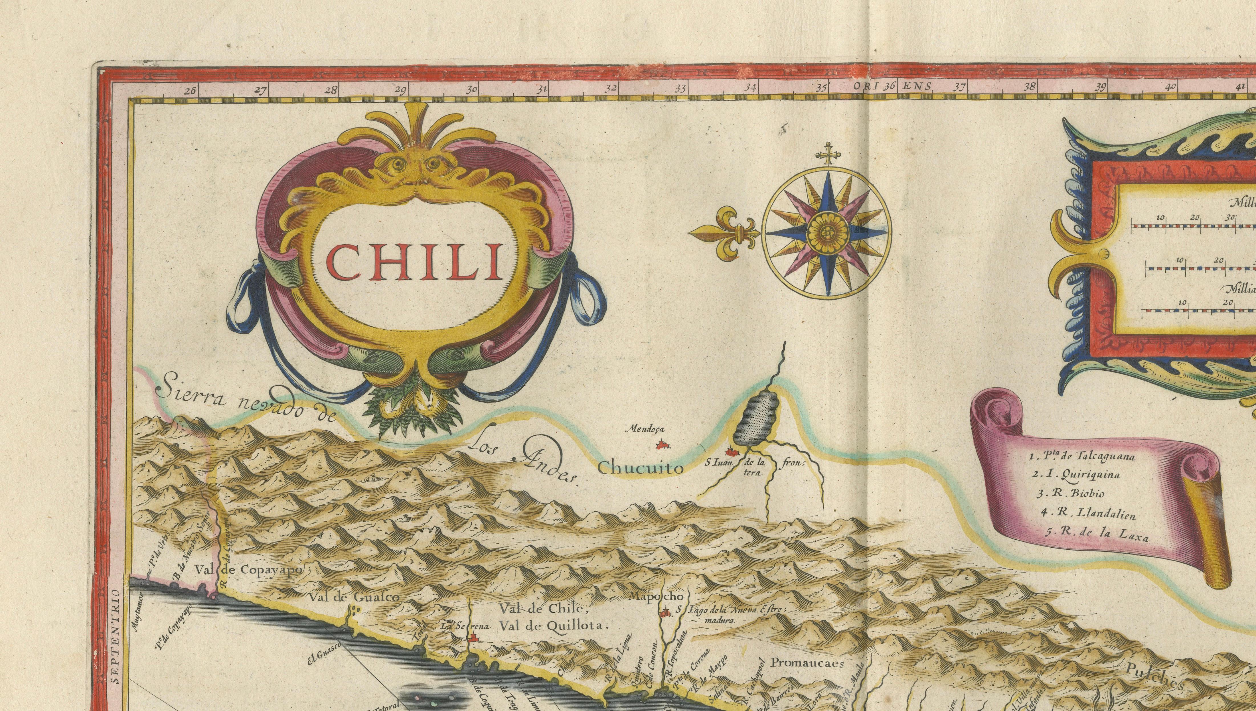
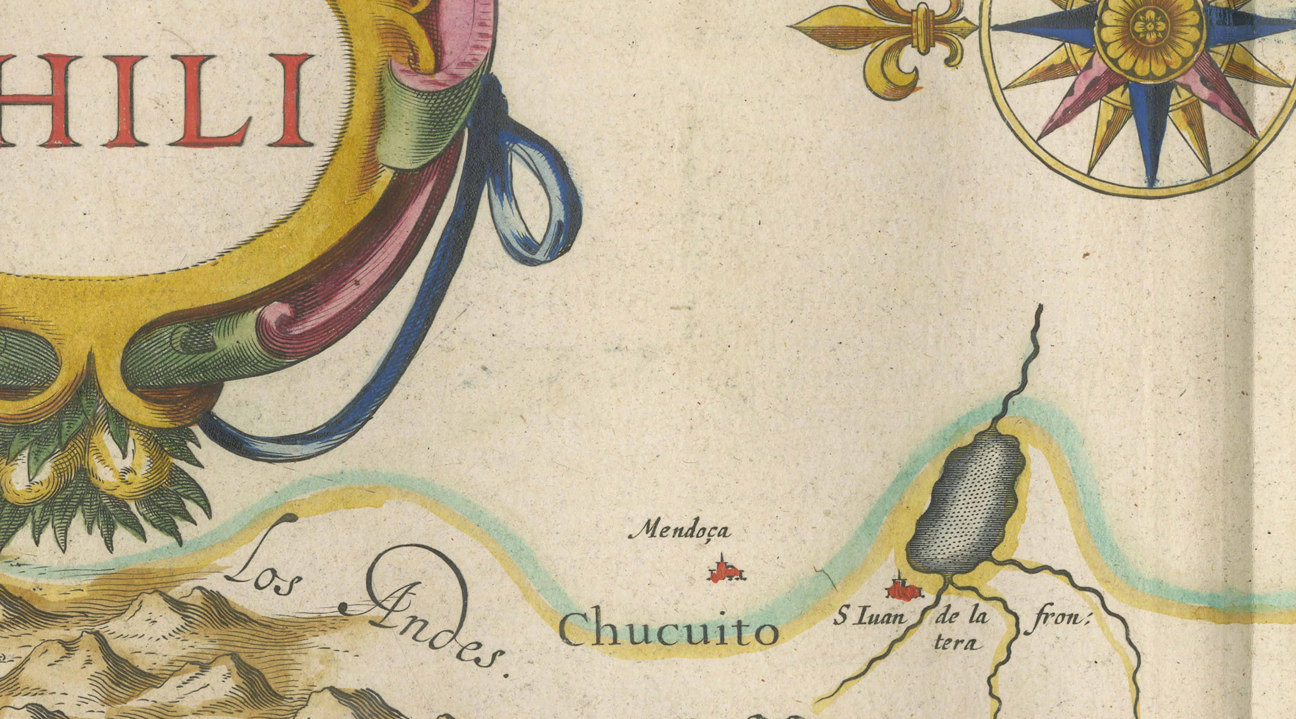
Blaeu’s characteristic decorative style is evident in the bold title cartouche at the upper left and the ornate scale cartouche at the upper right, both enriched with original hand coloring. A finely engraved compass rose and radiating rhumb lines add balance and movement, while the overall layout creates a strong horizontal visual rhythm that makes this map especially effective as a wall piece.
Maps of Chile from Blaeu’s atlas are particularly sought after for their distinctive format and decorative appeal. The combination of the towering Andes, the vast Pacific, and the refined Dutch engraving tradition results in a composition that is both historically significant and visually compelling. This example stands out for its clarity, balance, and warm original color.
This is an original 17th-century engraving, not a reproduction. All items we offer are authentic period works of art over 100 years old. The map is sold unframed; any framed images are shown for presentation and interior inspiration only.
Condition: Good condition with age-related toning. Original center fold as issued. Light discoloration and minor wear at the edges, consistent with age. Paper remains strong and stable. A well-preserved and attractive impression.
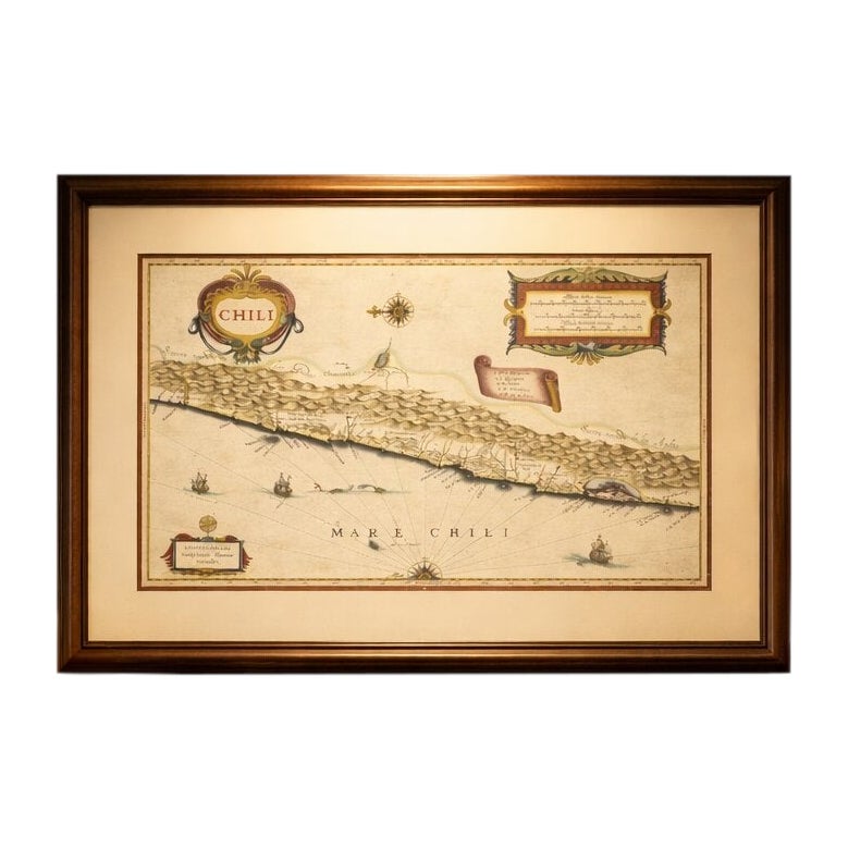
Framing tips: This map’s panoramic format makes it ideal for display above a desk, console, or sofa. A dark walnut or ebonized frame with a wide ivory or museum-white mat will enhance the warm tones and emphasize the dramatic mountain range. Particularly effective in a study, library, or refined modern interior.
Keywords: Chile map, Santiago, Valparaiso, Valdivia, Concepcion, Copiapo, Coquimbo, La Serena, Chiloe Island, Chiloe, Ancud, Andes Mountains, Sierra Nevada de los Andes, Pacific Ocean, Strait of Magellan, Patagonia, South America map, Spanish colonial Chile, Blaeu Chile map, Willem Blaeu, antique map Chile, Dutch Golden Age cartography, 17th century engraving, Toonneel des Aerdrycx, decorative antique map, maritime navigation map, coastal Chile map, historical South America map
Technique: Copperplate engraving with original hand-coloring
Maker: Willem Blaeu, Amsterdam, c.1642