No longer available
Antique Map of the British Solomon Islands Protectorate by Waterlow & Sons (1925)
This sheet is no longer available. Each item we offer is a single original, so once it has gone it cannot be restocked. Below are available sheets from the same part of the collection.
Available now in Australia & Oceania
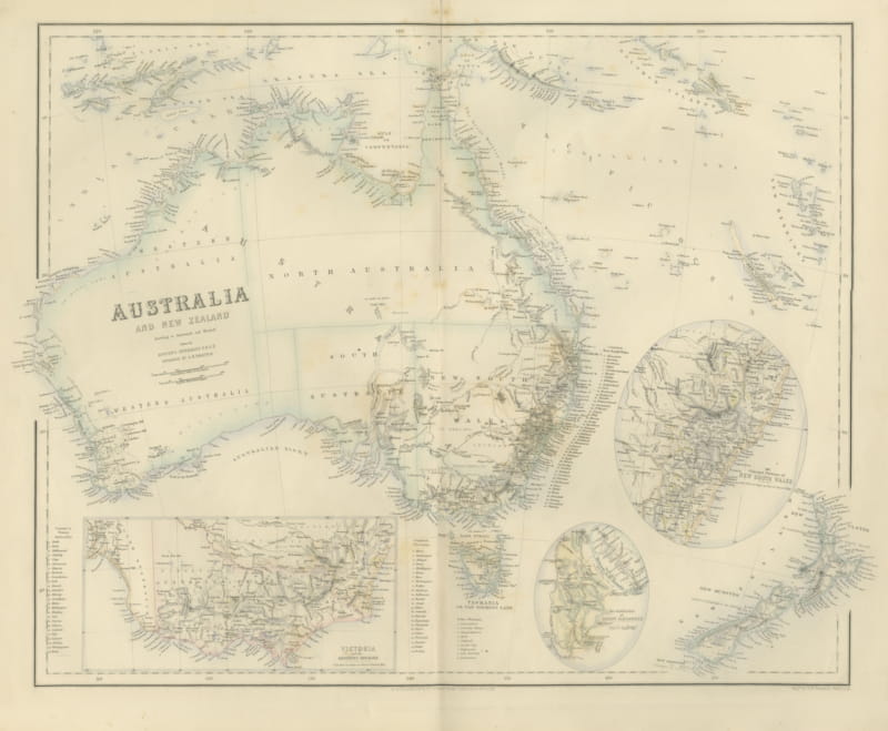
Antique Map of Australia and New Zealand with Mount Alexander Inset, circa 1860
circa 1860 · € 525
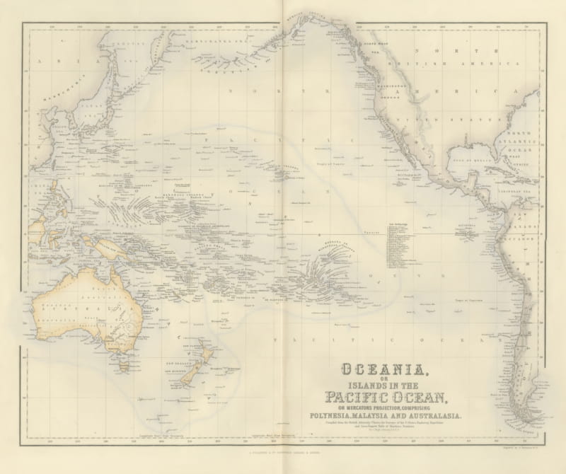
Antique Map of Oceania and the Pacific with the Sandwich Islands, circa 1860
circa 1860 · € 495
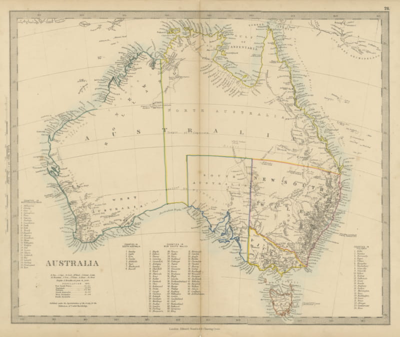
Antique Map of Australia with the 1855 Population Table and County Lists, 1858
1858 · € 330
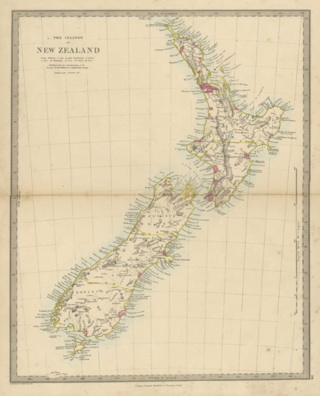
Antique Map of the Islands of New Zealand with Provinces and Settlements, 1858
1858 · € 360
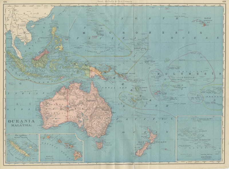
Antique Map of Oceania and Malaysia, with Australia and New Zealand, 1899
1899 · € 445
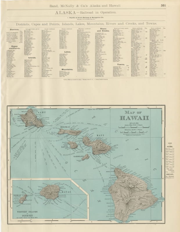
Antique Map of Hawaii, with Oahu and Honolulu, Rand McNally, 1899
1899 · € 445
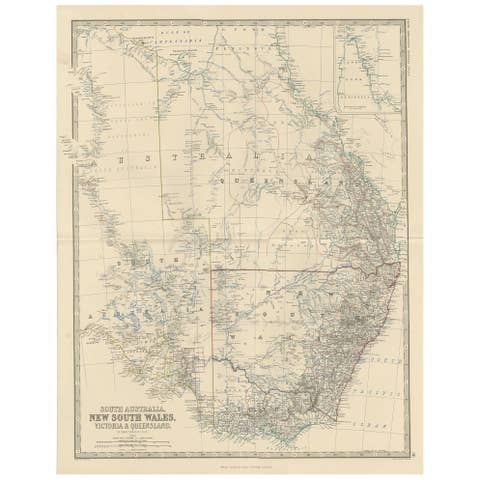
Antique Map of South Australia by A.K. Johnston, 1865
1865 · € 260
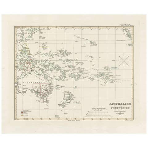
Antique Map of Australia, New Zealand and Oceania by F. von Stülpnagel, 1850
1850 · € 220

Antique Map of Eastern Polynesia, 1849
1849 · € 200
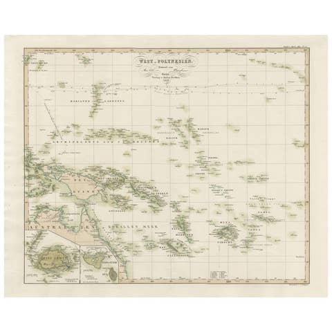
Antique Map of Western Polynesia, 1849
1849 · € 200

Antique Map of Australia by H. Kiepert, 1875
1875 · € 275
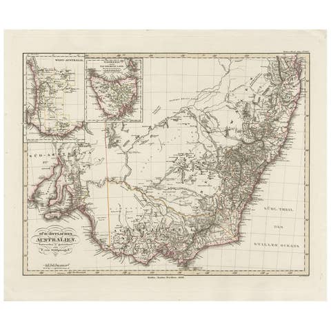
Antique Map of Southeastern Australia by F. von Stülpnagel, 1850
1850 · € 220