Antique Map of Oceania and Malaysia, with Australia and New Zealand, 1899
€ 445
Original antique · The actual sheet photographed · Certificate of authenticity on request · Sold unframed · Worldwide shipping from € 15 (rates)
Date
1899
Mapmaker / artist
Rand, McNally & Co.
Publisher
Rand, McNally & Co., Chicago
Technique
Lithograph
Coloring
Printed color
Condition
Good
Reference
BG-12793-2-92
What the condition grades mean
Excellent
Bright and clean, with no faults worth mentioning.
Very good
Only light signs of age, such as faint toning.
Good
Normal signs of age for a sheet of this period: toning, some foxing, small marks or neat old repairs.
Fair
Clear faults such as staining, tears or repairs, priced to match.
Every fault we see is written in the condition note, and the whole sheet is shown uncropped in the photos.
Condition
Fair to good condition for its age. Age toning, red pencil underlining and marks, wear and soiling to the lower corners, light creasing and the original central fold as issued. Please review the images for further condition details.
About this sheet
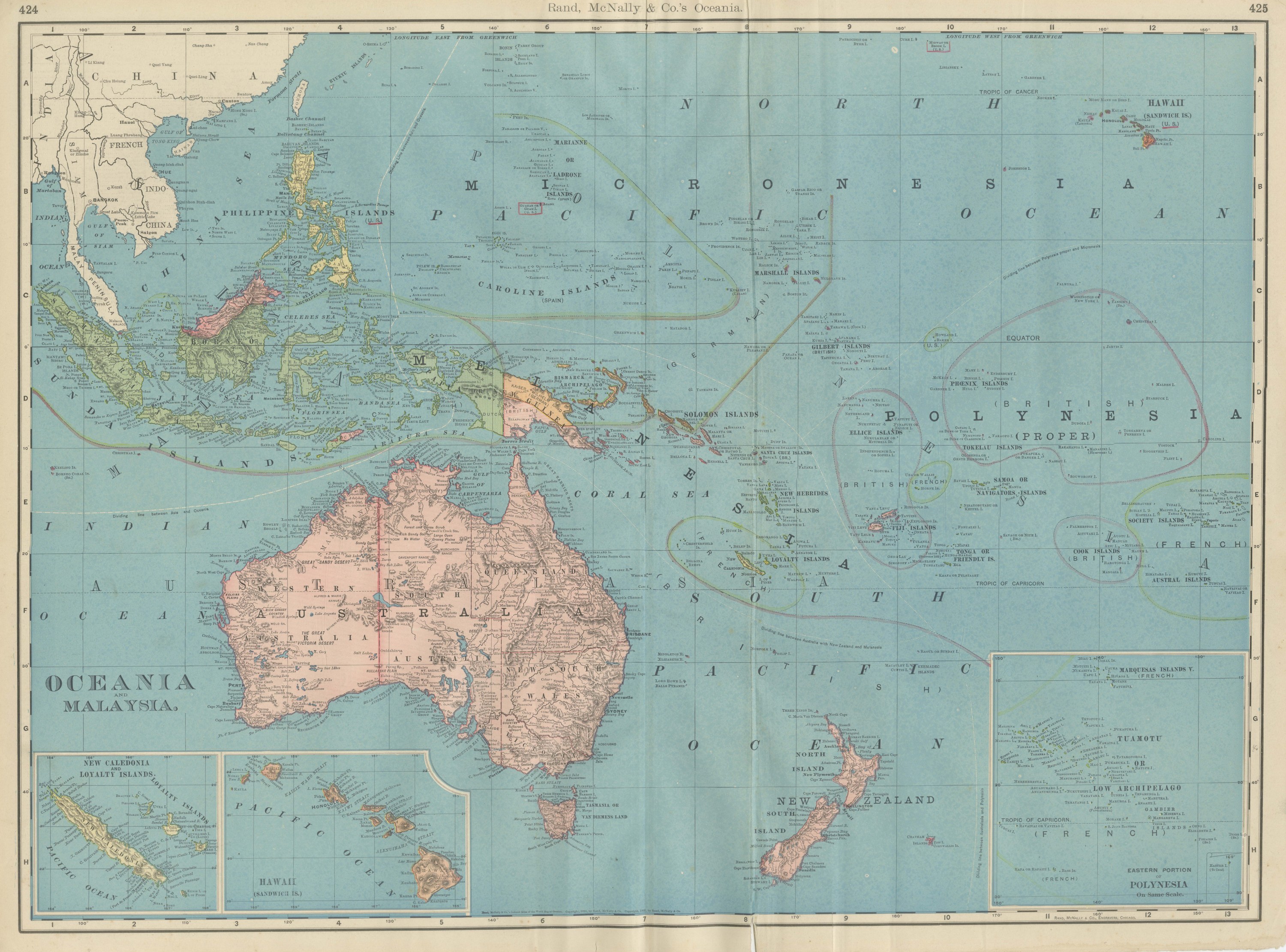
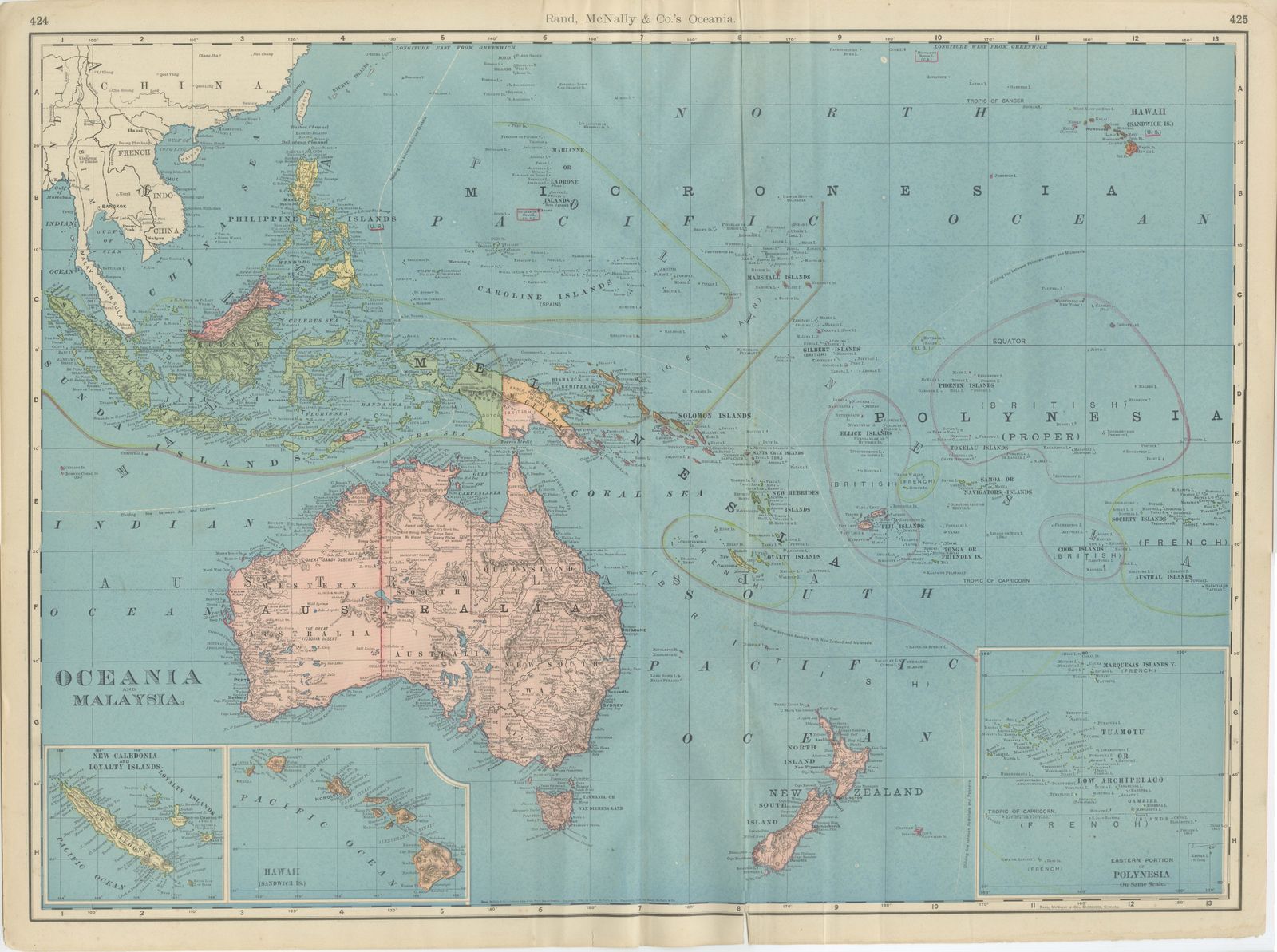
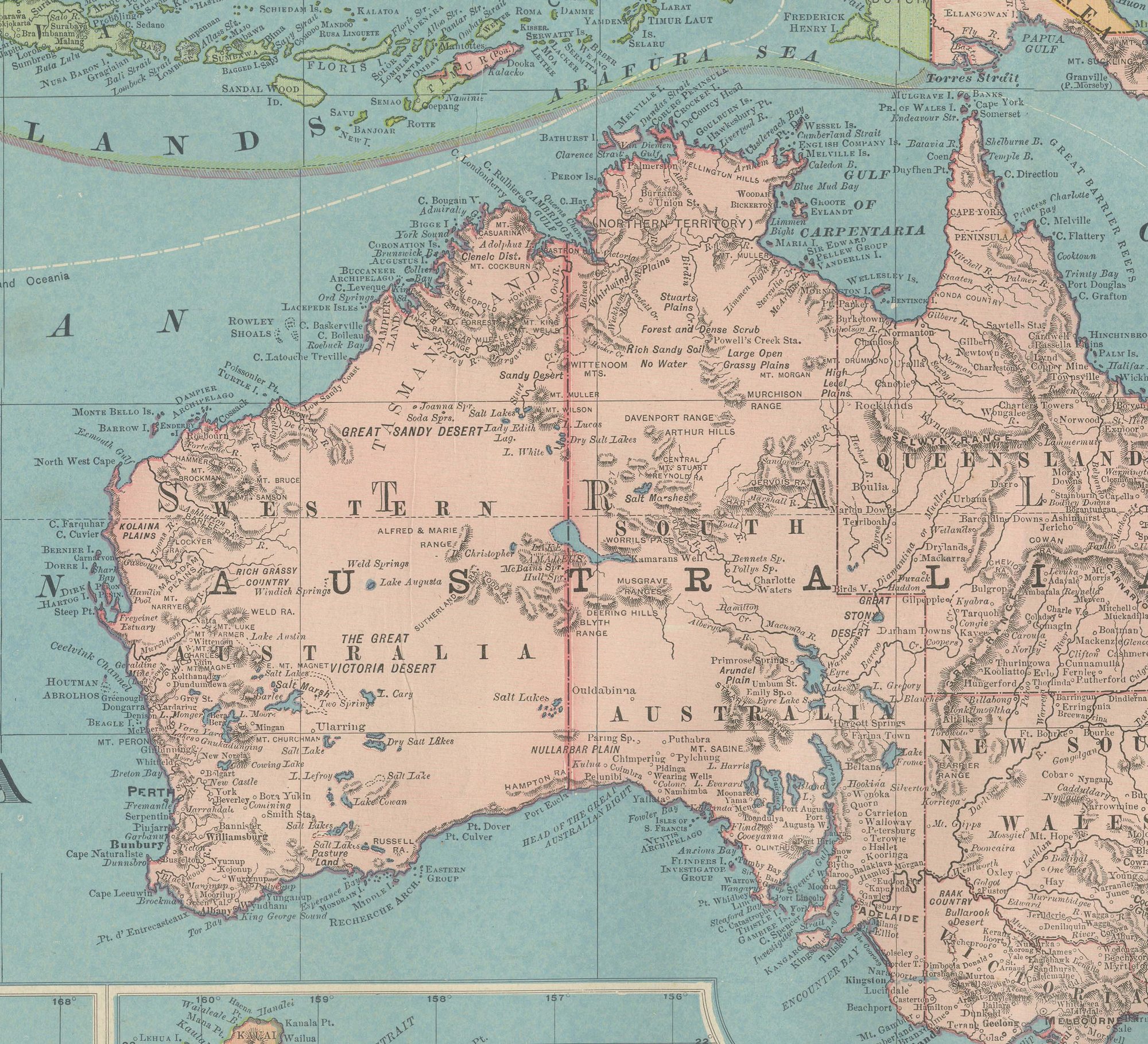
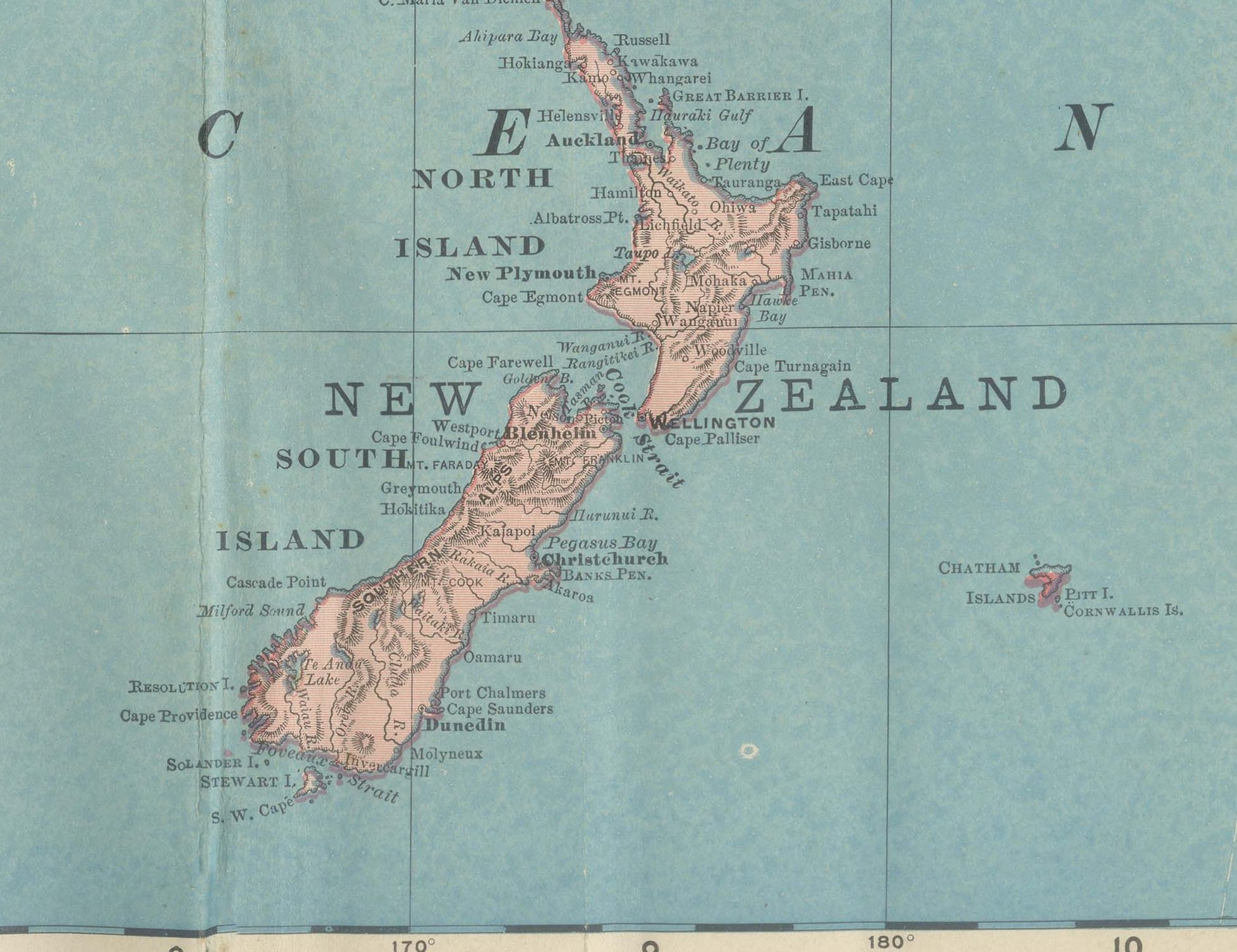
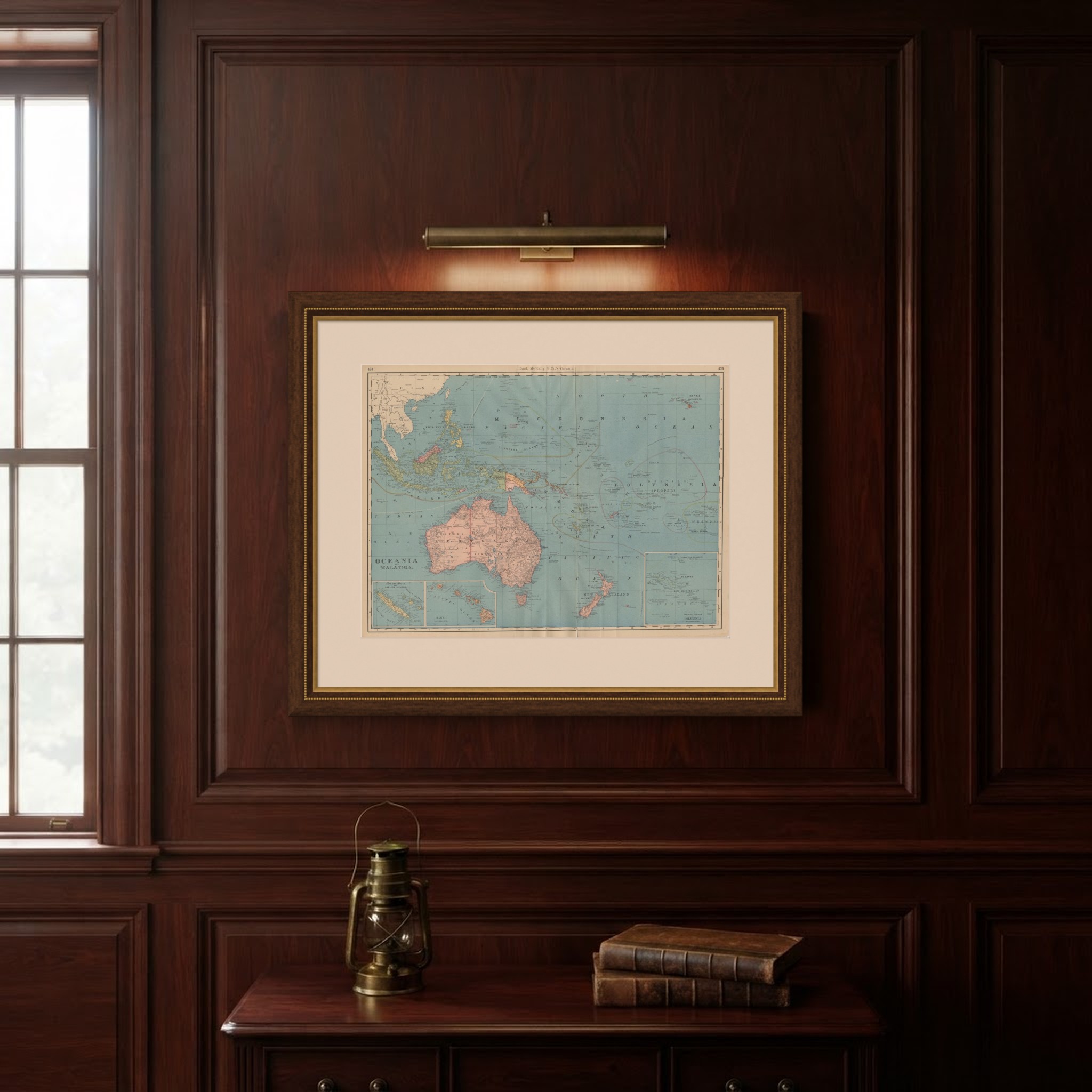
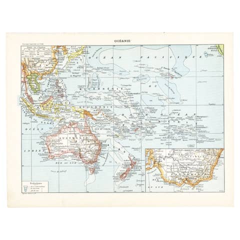
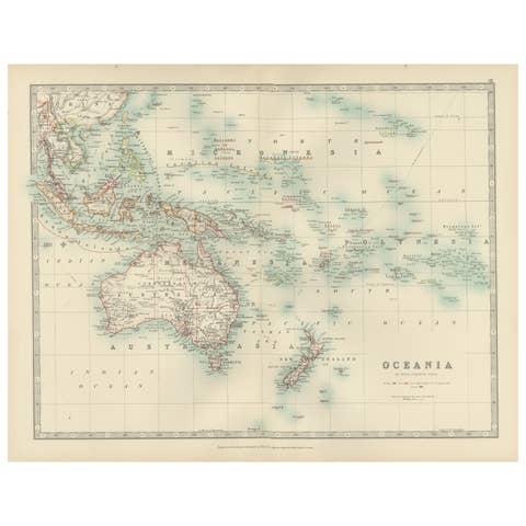
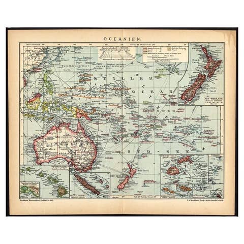
This antique map of Oceania and Malaysia is Rand McNally's single sheet for the whole Pacific world, a double-page spread printed in 1899 across pages 424 and 425 of the firm's indexed atlas: Australia and New Zealand at the center, the Dutch East Indies, the Philippines and the Malay Peninsula at the northwest corner, and Micronesia and Polynesia scattered across the open Pacific to the north and east. The Australian colonies of Western Australia, South Australia, Queensland, New South Wales and Victoria are each bounded in red with their 1899 borders, and Tasmania and the North and South Islands of New Zealand are shown in the same pink tint.
Colonial control of the Pacific islands is recorded with unusual specificity for a single sheet. The Caroline Islands are labeled Spanish and the Marshall Islands German; Fiji, the Society Islands and the Cook Islands are each marked British or French as appropriate; and Samoa is still shown undivided between the competing German, British and American claims that would be settled by treaty later that same year, 1899. Curving pink and yellow lines trace steamship routes between Australia, New Zealand, Hawaii and the American and Asian coasts, the same device used on the atlas's world map, and Hawaii, labeled as a United States possession following its 1898 annexation, sits at the upper right corner.
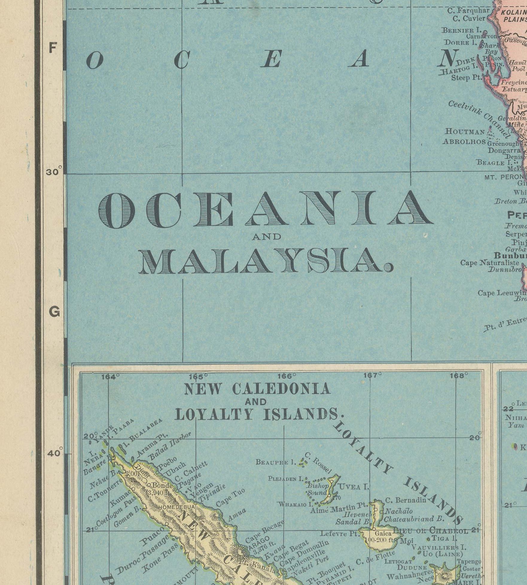
Three insets carry outlying groups that fall off the main frame: New Caledonia and the Loyalty Islands at lower left, Hawaii again at a slightly larger scale beside it, and the "Eastern Portion of Polynesia," with the Marquesas and the Tuamotu or Low Archipelago, at lower right.
Rand McNally, which grew from a Chicago printing business begun by William Rand in the 1850s and joined by Andrew McNally, was by the 1890s one of the leading map publishers in the United States. This antique map of Oceania and Malaysia is a color lithograph in the atlas's standard style, the outline printed in black with the original 1899 colors printed over it. It is an original atlas sheet, issued folded through the center and suitable for framing. The color is printed rather than applied by hand.
The sheet is in fair to good condition for its age, with age toning, red pencil underlining and marks, wear and soiling to the lower corners, light creasing and the original central fold as issued. Please review the images for further condition details.
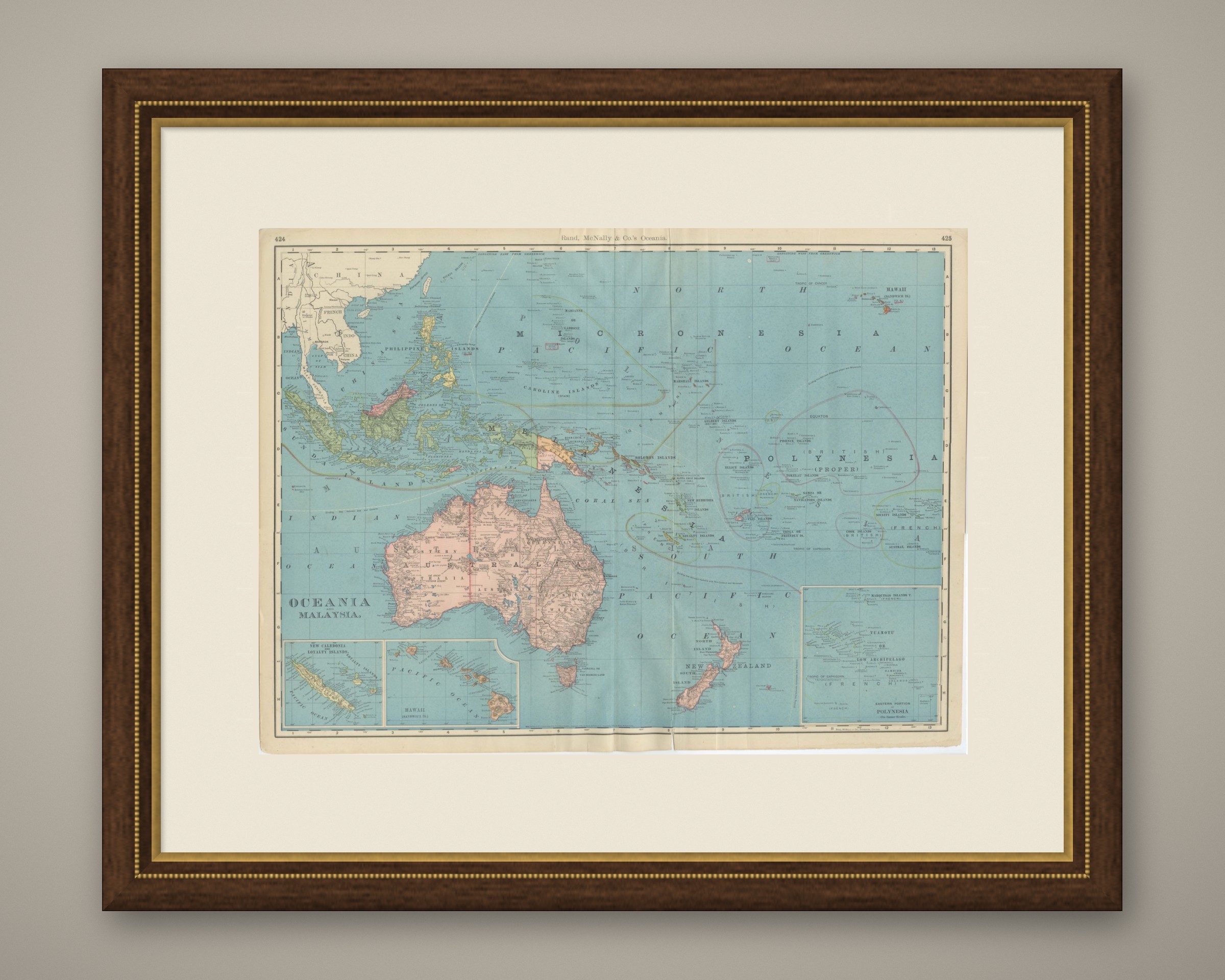
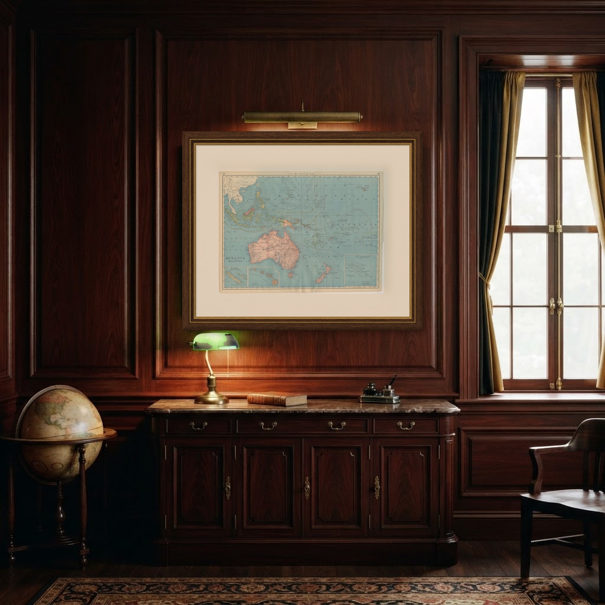
This is an original antique map, not a modern reproduction. This item is sold unframed. Any framed or interior images are shown for presentation and inspiration only, unless the listing explicitly states that the item is sold framed.