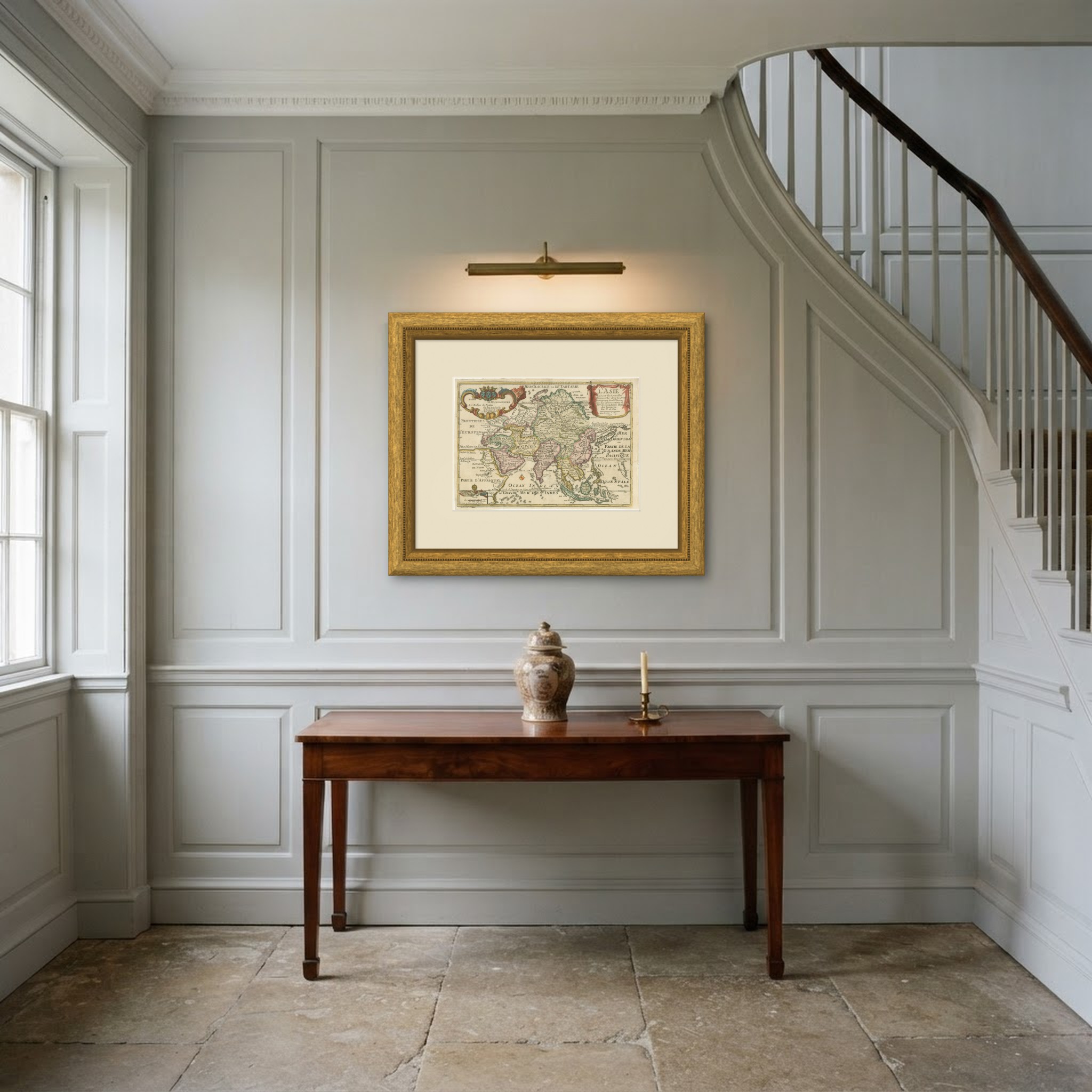
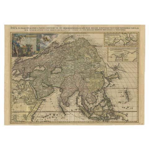
Antique Map of Asia by Nicolas de Fer, Hand Colored, 1717
€ 650
Original antique · The actual sheet photographed · Certificate of authenticity on request · Sold unframed · Worldwide shipping from € 15 (rates)
Date
1717
Mapmaker / artist
Nicolas de Fer, geographer
Publisher
Nicolas de Fer, Paris, with royal privilege
Technique
Copper Engraving
Coloring
Original hand color
Sheet size
24 × 34 cm (9.4 × 13.4 in)
Condition
Good
Reference
BG-14402
What the condition grades mean
Excellent
Bright and clean, with no faults worth mentioning.
Very good
Only light signs of age, such as faint toning.
Good
Normal signs of age for a sheet of this period: toning, some foxing, small marks or neat old repairs.
Fair
Clear faults such as staining, tears or repairs, priced to match.
Every fault we see is written in the condition note, and the whole sheet is shown uncropped in the photos.
Condition
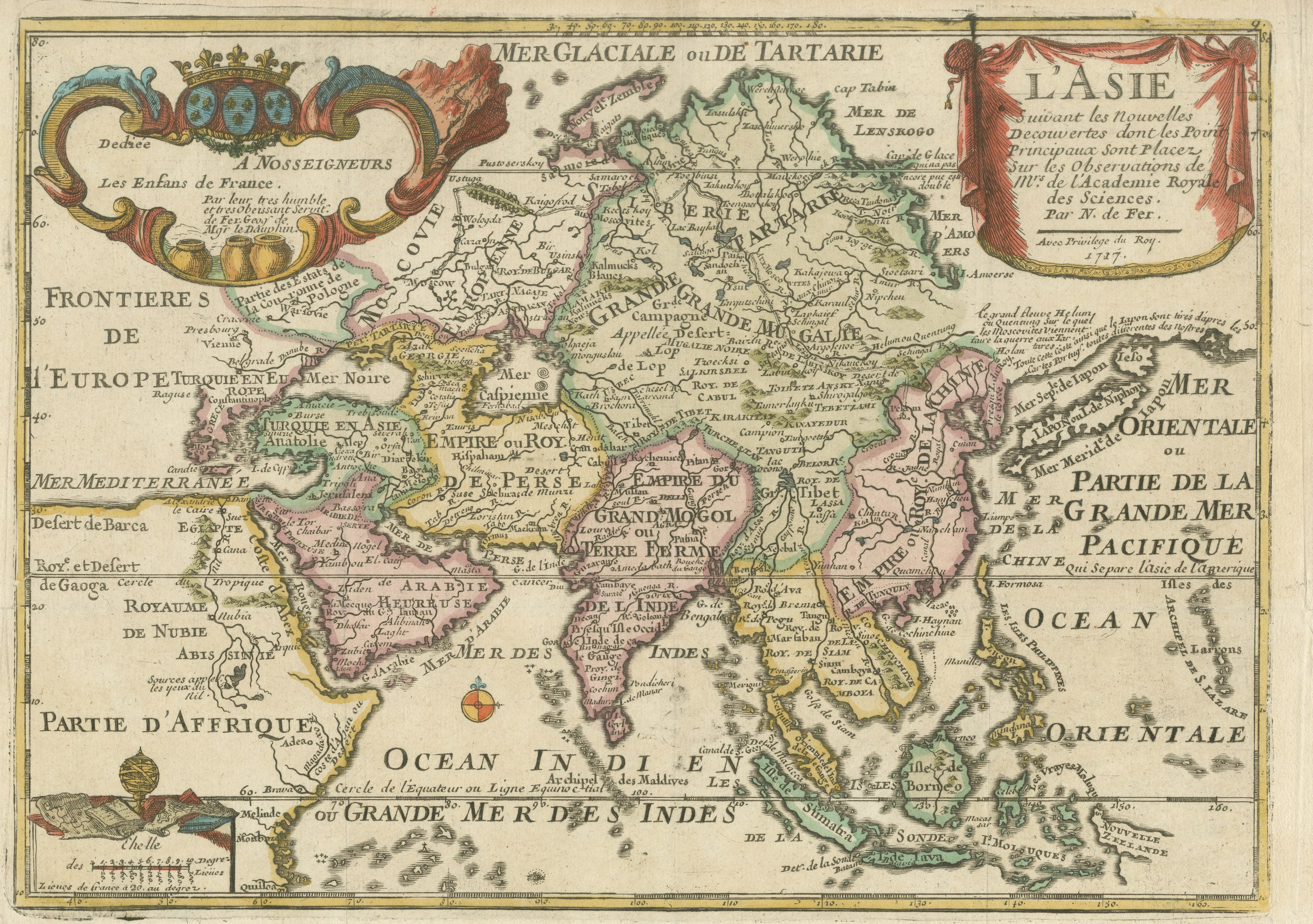
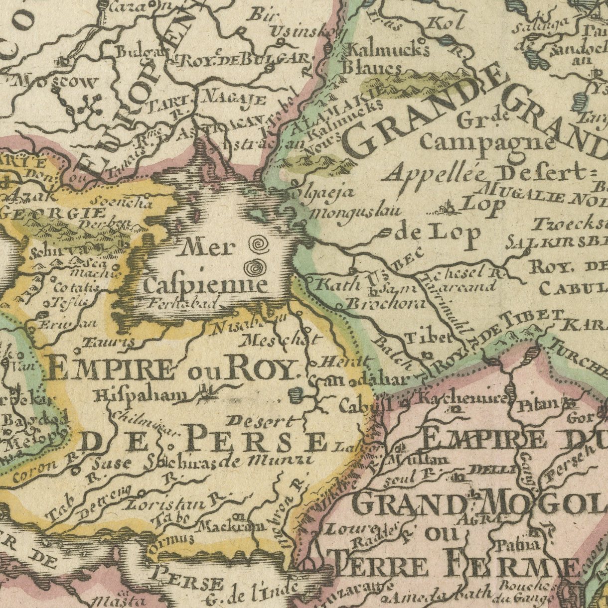
Light uneven toning, browner towards the edges. Marked handling soiling along the top edge. A few small foxing spots in the margin. Slight wear at the bottom left, bottom right and top left corners.
About this sheet
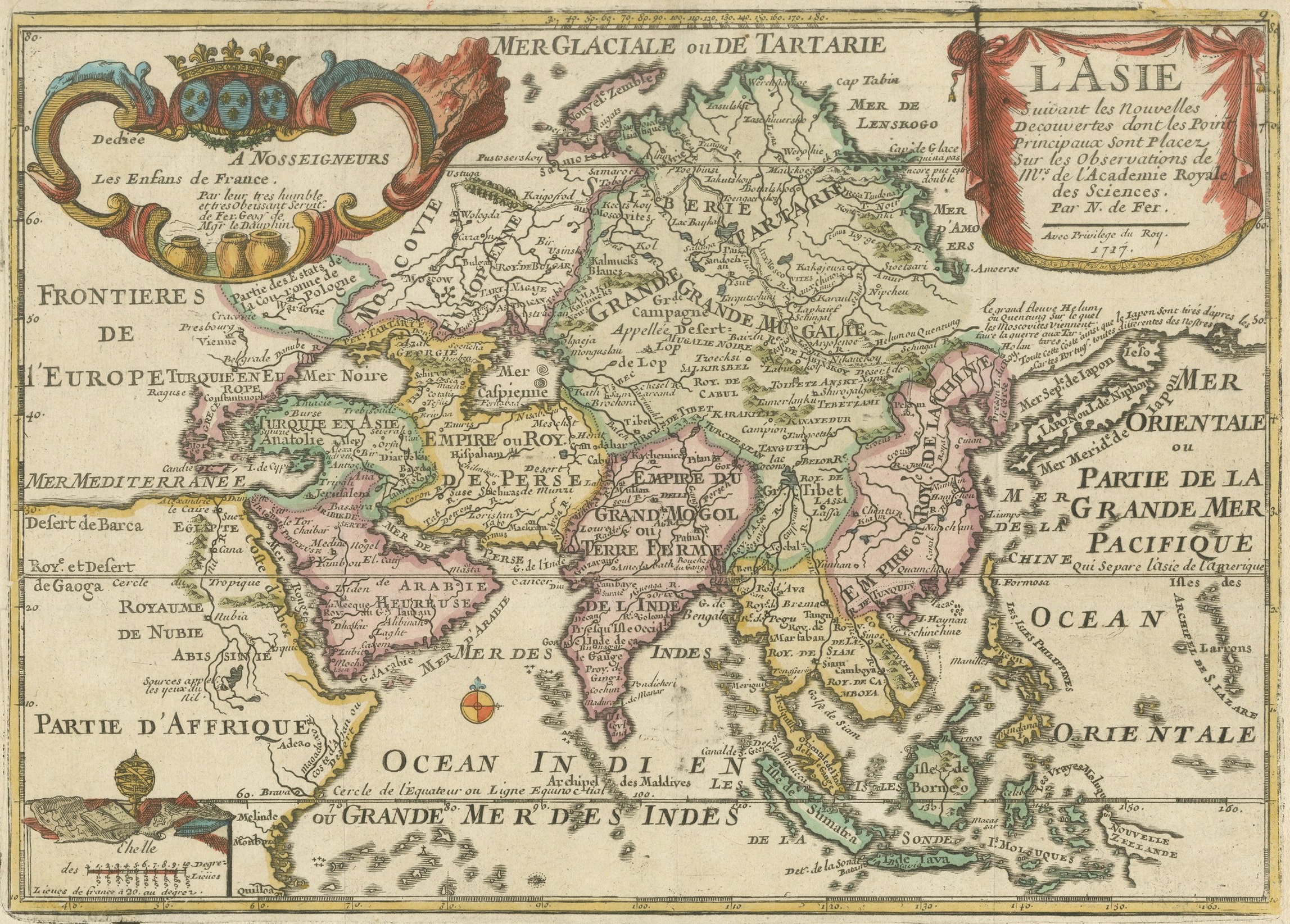
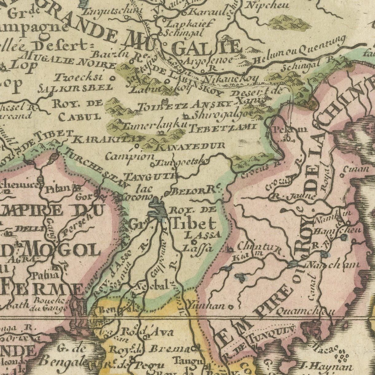
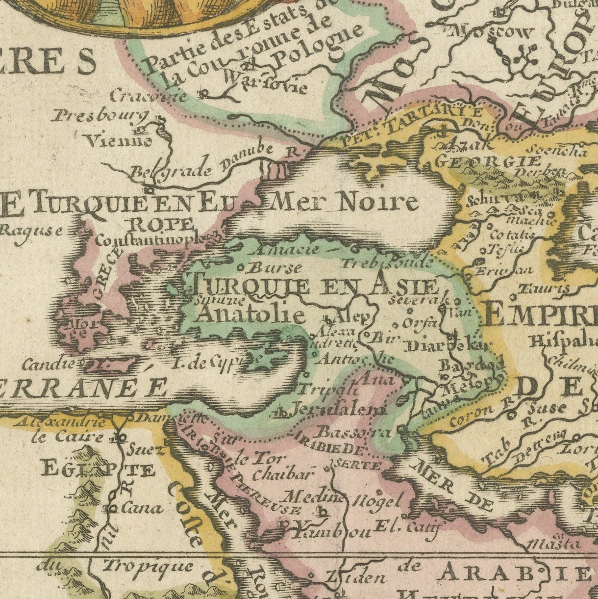
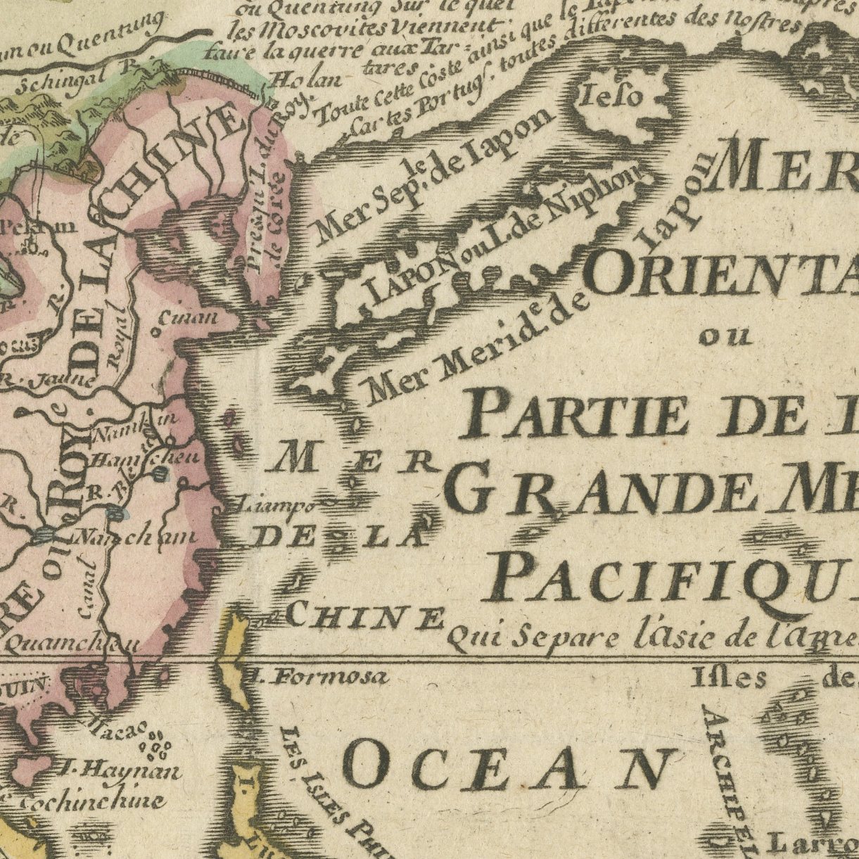
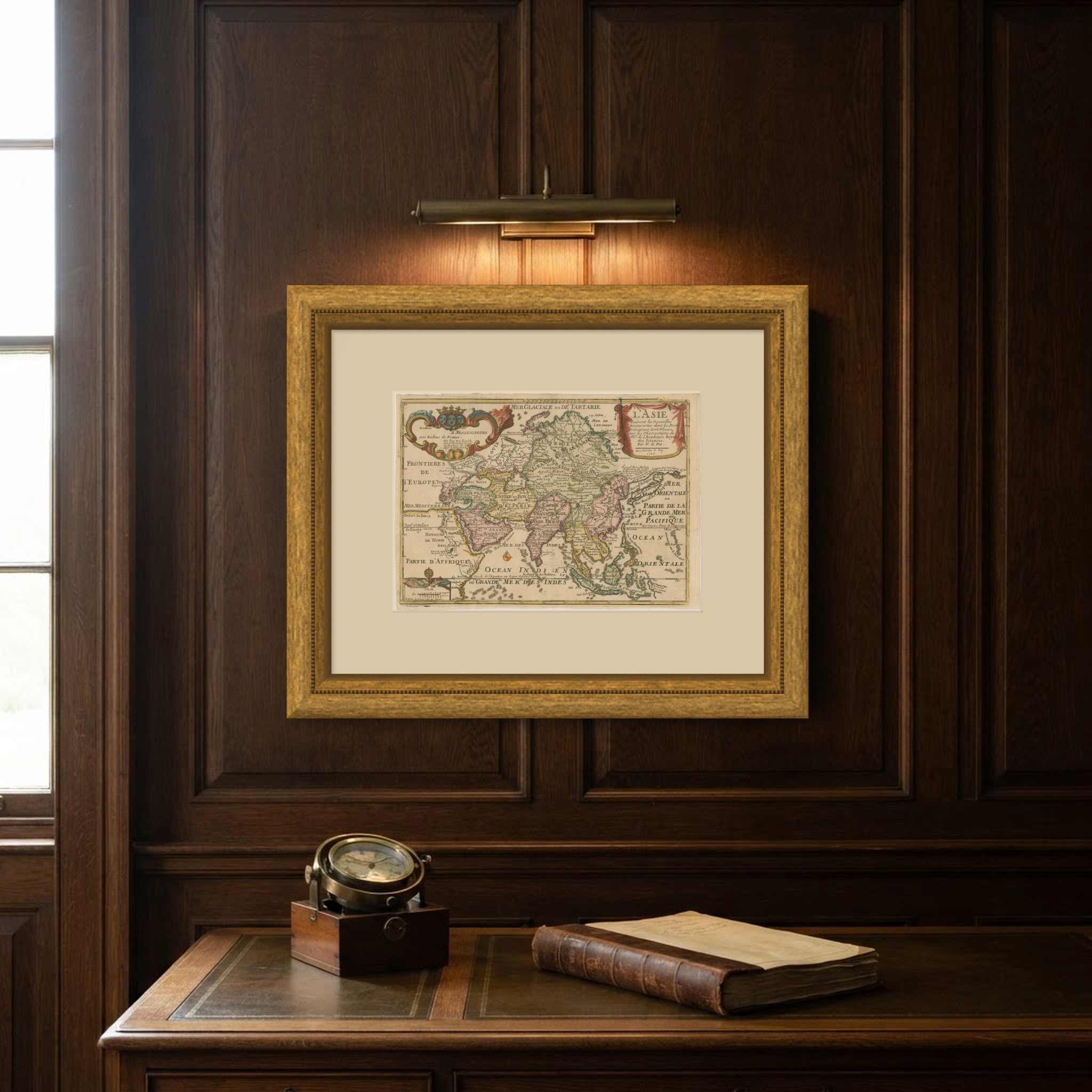
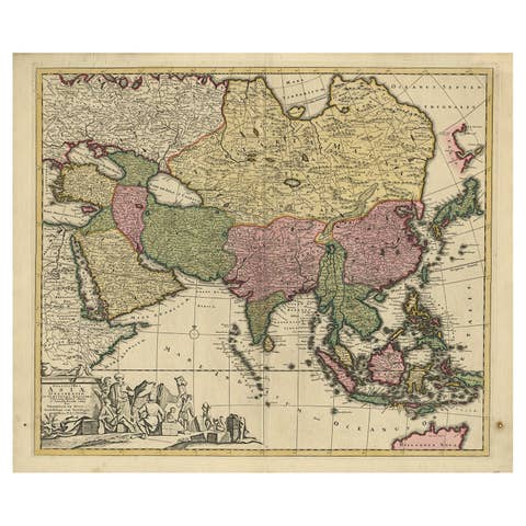
An original antique hand colored map of the whole of Asia, dated 1717 in its own cartouche and engraved for Nicolas de Fer, geographer to the Dauphin and one of the busiest Paris mapmakers of his generation. The title hangs at the upper right from a red drapery held by tassels and is lettered L'ASIE suivant les Nouvelles Decouvertes dont les Points Principaux sont Placez sur les Observations de Messieurs de l'Academie Royale des Sciences, Par N. de Fer, with Avec Privilege du Roy and the date beneath. Siberia and Tartary run across the top under a frozen sea named the Mer Glaciale ou de Tartarie, Nova Zembla sits at the upper left, and the East Indies fill the lower right with the Indian Ocean lettered Ocean Indien ou Grande Mer des Indes.
De Fer's Asia is a map of the moment when European knowledge of the far north and the far east was changing fastest. The Academie Royale des Sciences had begun to fix longitudes by astronomical observation, and de Fer advertises the fact in his title. The eastern coast of Asia is drawn with real confidence, while the north east remains open where Russian exploration had not yet reached, and Korea is correctly a peninsula.
A dated eighteenth century map of Asia with its original coloring and a decorative title drapery is a classic image of the continent, and the Indonesian archipelago at the lower right is drawn with care. The outline color is fresh and the engraving crisp. It frames to a comfortable size for a study or a corridor.
Light uneven toning, browner towards the edges. Marked handling soiling along the top edge. A few small foxing spots in the margin. Slight wear at the bottom left, bottom right and top left corners.
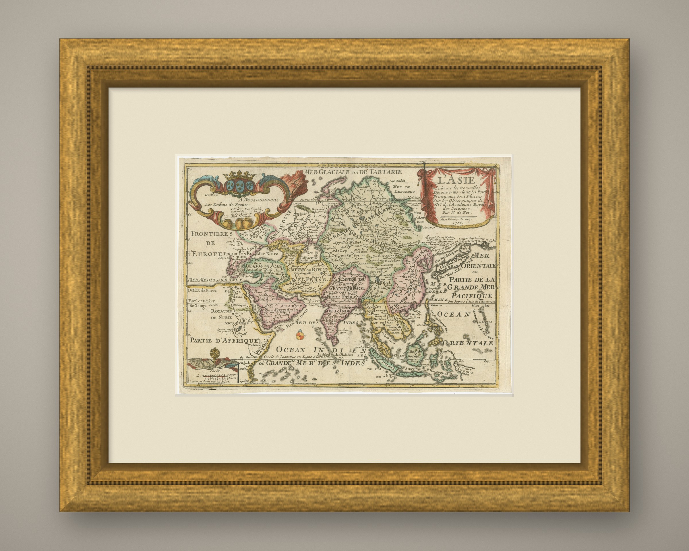
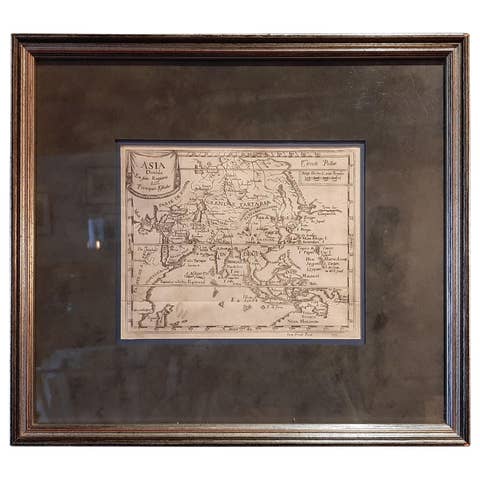
This is an original antique map, not a modern reproduction. This item is sold unframed. Any framed or interior images are shown for presentation and inspiration only, unless the listing explicitly states that the item is sold framed.