About this sheet
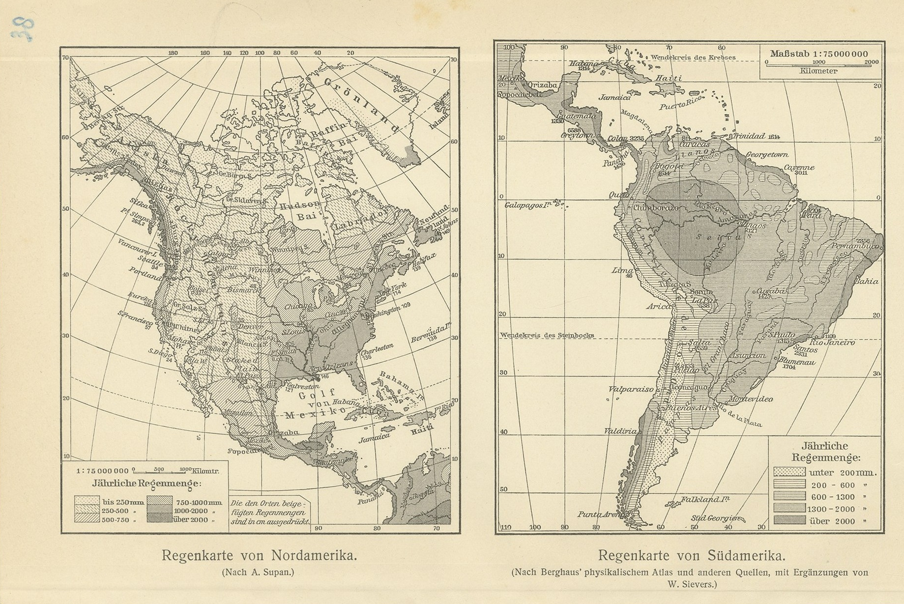
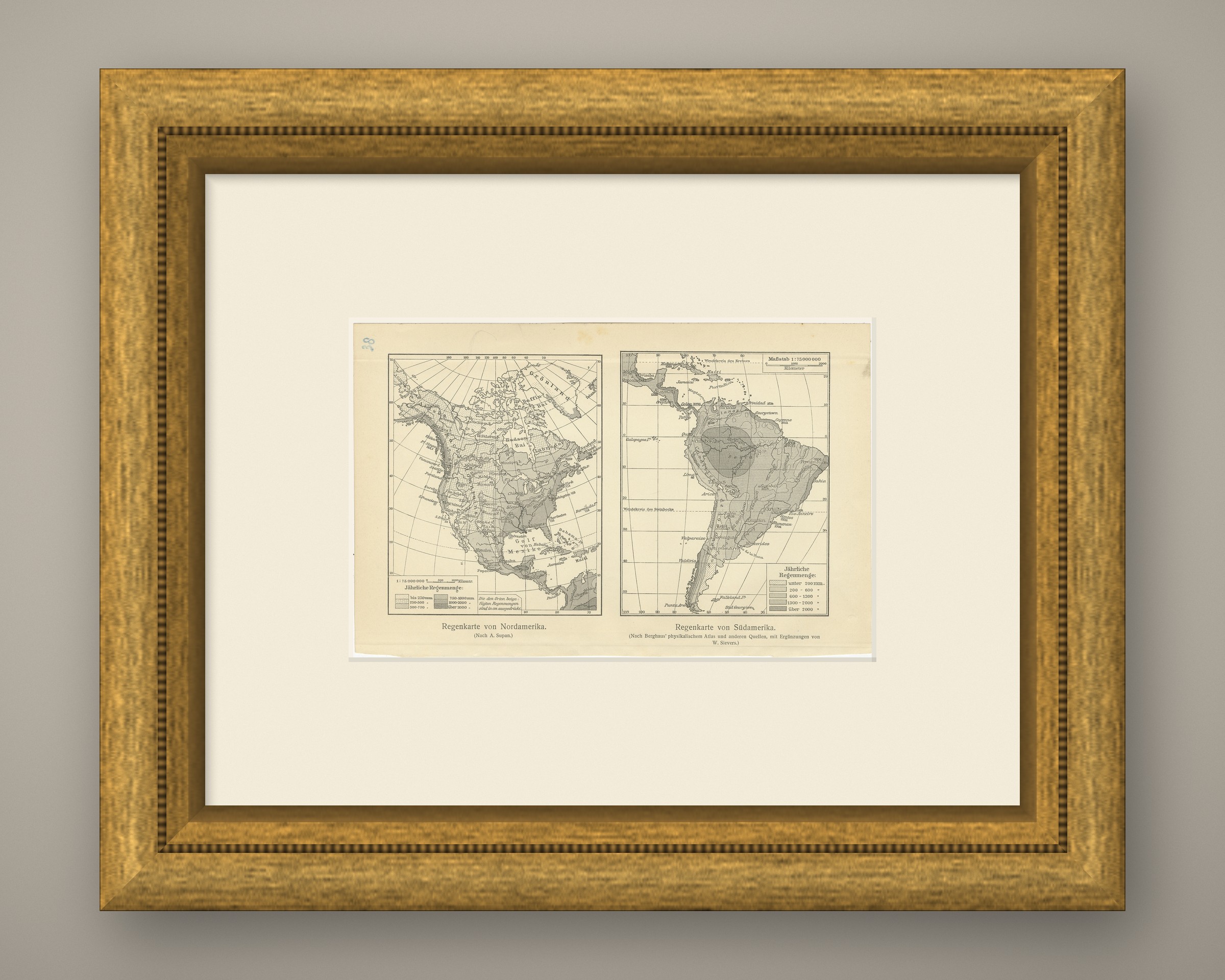
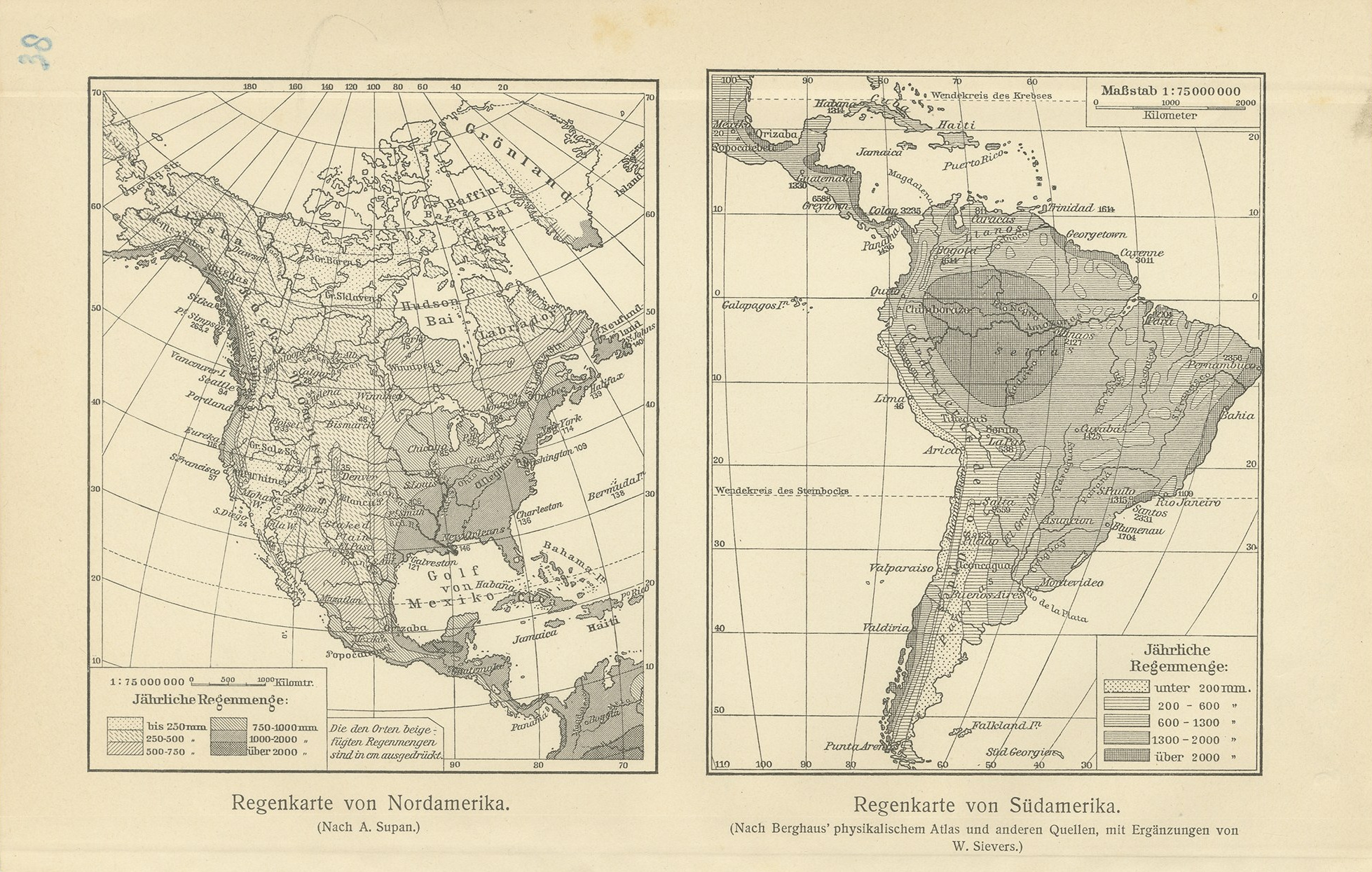
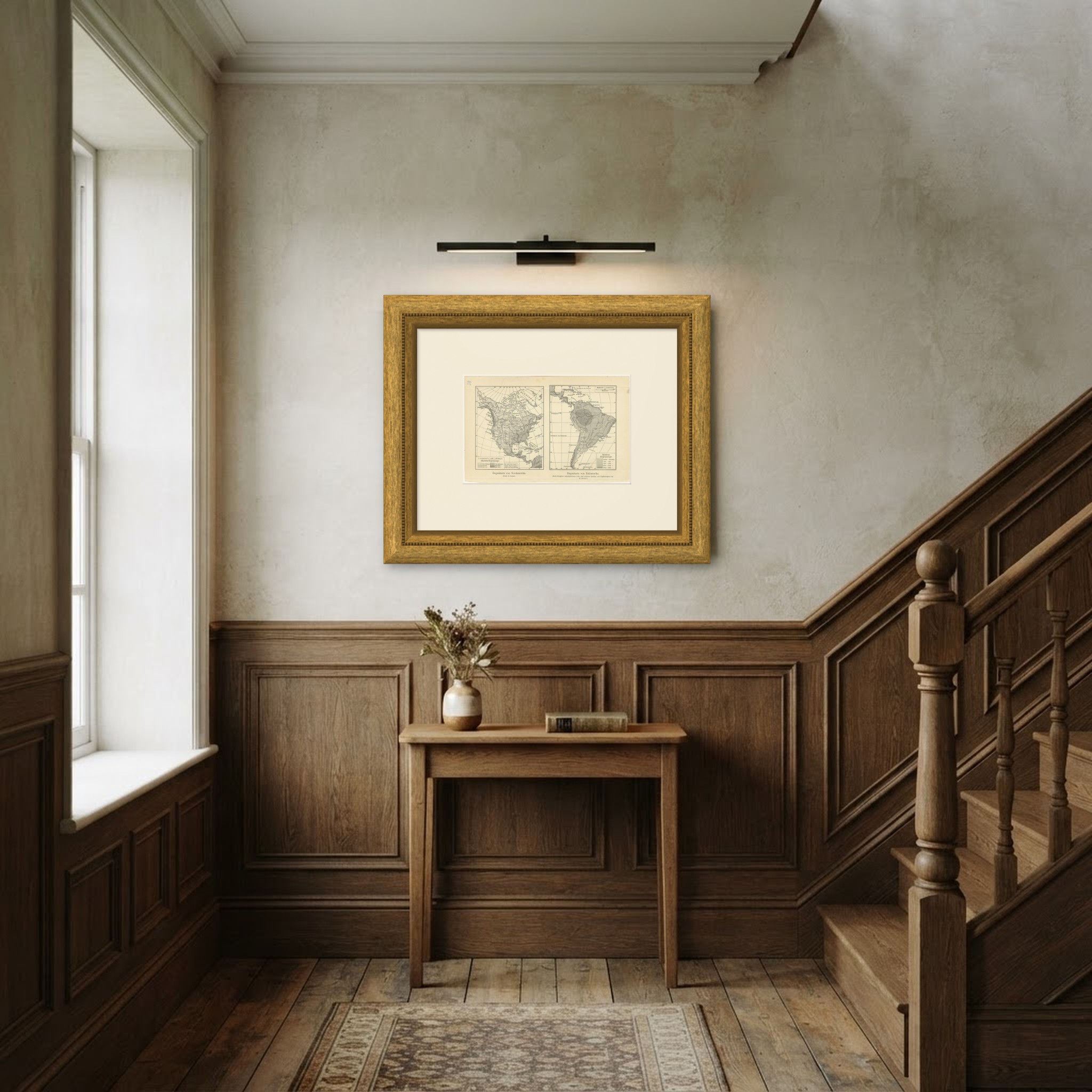
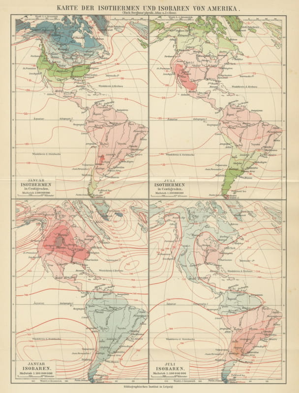
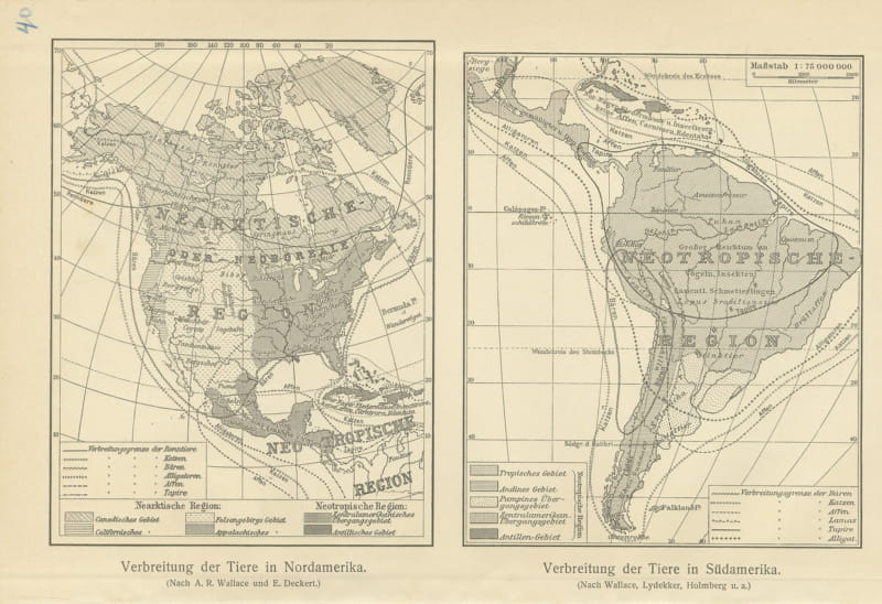
This original antique thematic map was printed in black and gray tones by the Bibliographisches Institut for Meyers Physikalischer Handatlas. The sheet shows North and South America, annual rainfall. It is lettered on the stone in German, Regenkarte von Nordamerika. What makes it worth hanging: two monochrome rainfall maps side by side, North America after Alexander Supan and South America after Berghaus with additions by Wilhelm Sievers.
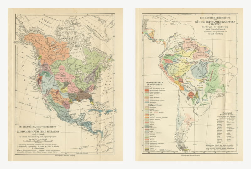
The map comes from Meyers Physikalischer Handatlas, fifty one maps of oceanography, morphology, geology, climatology, plant and animal geography and ethnology, published by the Bibliographisches Institut in Leipzig and Vienna in 1916. The atlas was the physical geography companion to Meyers Grosses Konversations-Lexikon, the great German encyclopedia of the period, and it was assembled from the best specialist sources the house could reach, among them the Berghaus physical atlas, Alexander Supan, Julius Hann and Oscar Drude. The Bibliographisches Institut, founded by Joseph Meyer at Gotha in 1826 and based in Leipzig from 1874, ran its own lithographic and cartographic department, which is why the line work is so clean and the lettering stays legible at this scale.
A thematic map of this kind does something a political map cannot. It takes one idea, the temperature of the sea, the age of the rocks, the spread of a plant family or a people, and lays it over the whole of the Americas in tone, so the pattern reads from across a room. The 1916 date puts the sheet at the end of the long German tradition of physical cartography that began with Heinrich Berghaus, and it records the world as German science understood it on the eve of the modern surveys. Framed in a plain dark molding with a generous off white mat it hangs well in a study, a library, a hallway or an office, and it groups handsomely with other sheets from the same atlas because they share a format and a palette.
Even age toning. Handling soiling along the right edge. Slight wear at the bottom left and bottom right corners.
This is an original antique map, not a modern reproduction. This item is sold unframed. Any framed or interior images are shown for presentation and inspiration only, unless the listing explicitly states that the item is sold framed.